All Activity
- Past hour
-
Todays 1.32” brings the mtd total to 7.86”. 80.8 for the high 71.8 for the low and obviously very humid with all the rainfall. Soggy would be an understatement describing the condition of my yard
-
What a furnace look going forward
-
At least the OP Euro is west of Bermuda. W
-
@BarryStantonGBPAny update from the guru, Mr. Lezak? The last I saw from him was this incredibly bold call, a likely SC/NC target. Is he still targeting there? Thanks
-
Ever since Fukushima its been warm, odd. Just kidding.
-
 It very well could be a 8 day heatwave in central jersey if clouds don't hold back on Thursday
 -
Let’s go!
-
18 days of 92+ at CON Tied for 3rd most with plenty of time to go
-
GFS is going to whiff Bermuda hold onto your perturbed EPS members tightly
-
Terrific photo!
-
18z gfs is right of Bermuda now lol
-
The heaviest rain is missing just 2-3 miles NW but it’s been a great loud CG show IMBY. Doesn’t seem like drought buster though unless it backbuilds some more fills in farther SW which seems unlikely.
-
Cinco de torchos. Wow…
-
96F makes another heat wave.
-
If the tropical cyclone activity stops, those waters/SSTs off Japan are going to warm right back up again quickly. Those extremely warm waters go to depth, they aren’t just at the surface. @Bluewave showed the subsurface anomaly cross-section back in the spring I believe, they go to depth
-
three heat waves is impressive at your locale.
-
 91/65 today.
 -
93° at AVP today You love to see it
-
back broken. :/
-
Managed a 91 (91.4). Just missed 90 Sunday and we did hit 90 yesterday Good chance it happens again tomorrow which would be my 3rd heat wave this summer.
-
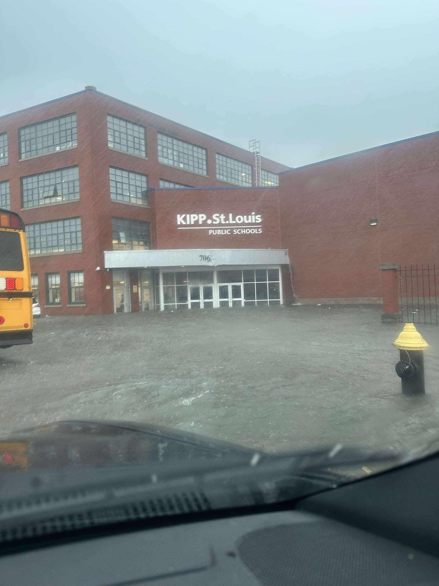
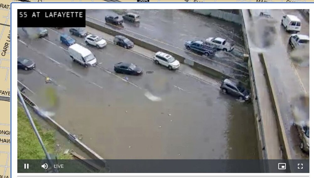
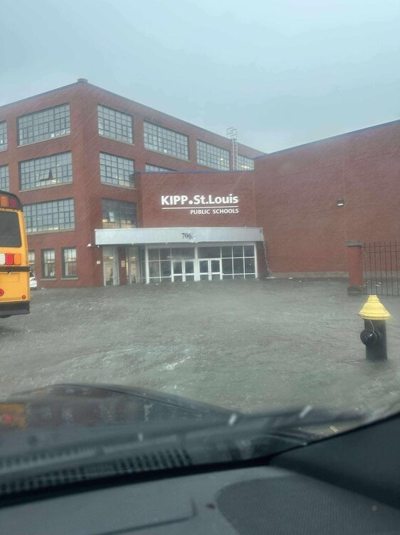
I know STL isn’t discussed much here but they just got rocked.
- Today
-
That one storm that hit me but missed is is why. Crazy stuff.
-
That means the equivalent daily NOAA PDO has risen from ~-4.25 to near -3.
-
Yeah honestly that name was cursed, way too wimpy sounding
-
Wish we lived there then