All Activity
- Past hour
-
I cannot believe all those folks around the league were wrong about Albernaz...and that this isn't growing pains. I mean he was quite sought after the previous off-season too...I'm skeptical of the notion he'll never get better. He could very well be a great manager elsewhere if he gets fired here. But no matter how you slice it--getting fired after your rookie season with no chance to grow is humiliating to say the least. Gonna be interesting to see what happens.
-

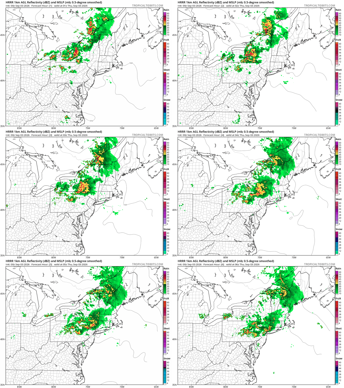
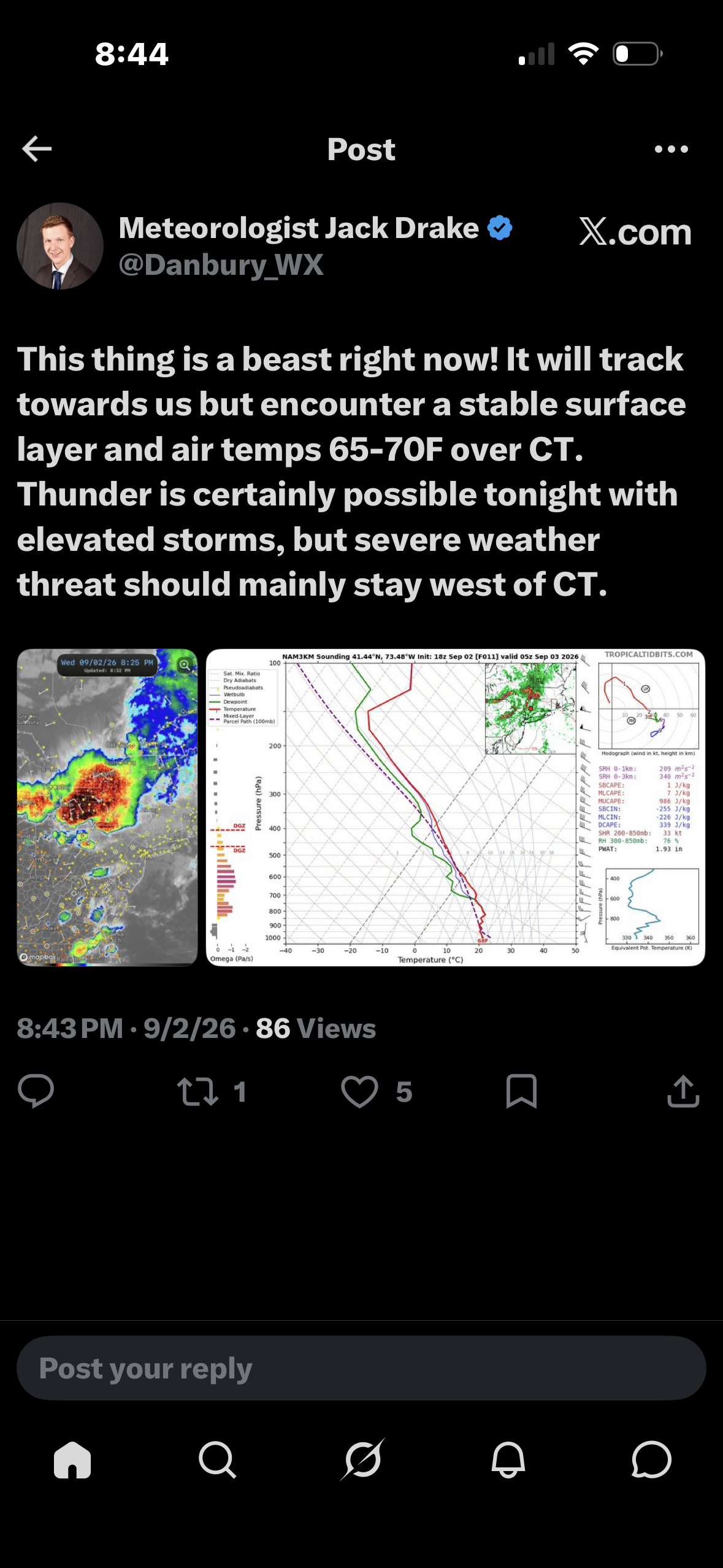
Monday, August 31 - Thursday, September 3, 2026 Convective Episodes
Hoth replied to weatherwiz's topic in New England
Impressive event in upstate NY and PA for sure. -
79/62 today. Very nice day. Increasing rain chances coming up with a Lake breeze. Hopefully will do well in the precip dept.
-
 Binghamton is gonna gust 75+
 -
The N Atlantic kills us 9 times out of 10. Especially east of River
-
Yep but isn't supposed to be as strong as it is now out there. That said, we'll know for sure overnight.
-
Some 70+ mph velocities in that bowing line near Ithaca. Oof.
-
Have you tried this app? Seems pretty accurate to me and it's free. My buddy lives a little north of Canadensis just over the Pike County line. He's at 1836 feet. Amazing difference in weather at that elevation. He's often in the clouds when the deck is low and always a good 4-6 degrees cooler than at the bottom of the hill.
-
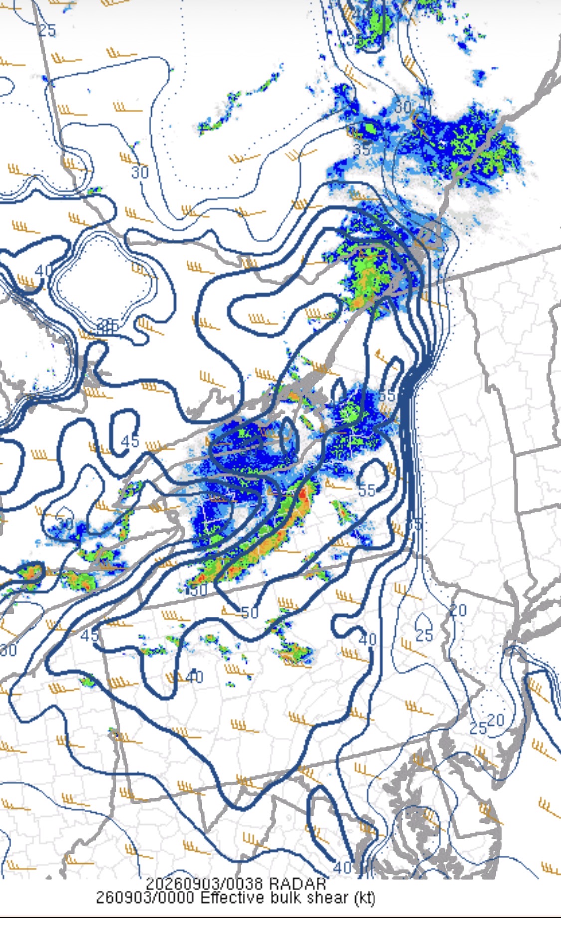
The shear should slide East.
-
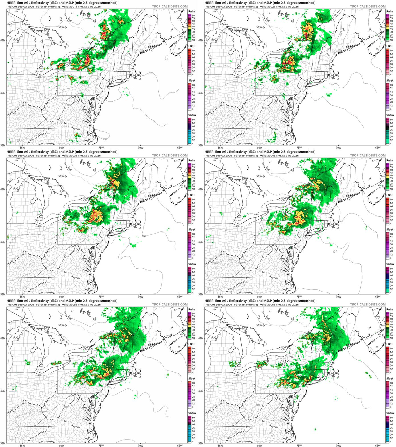
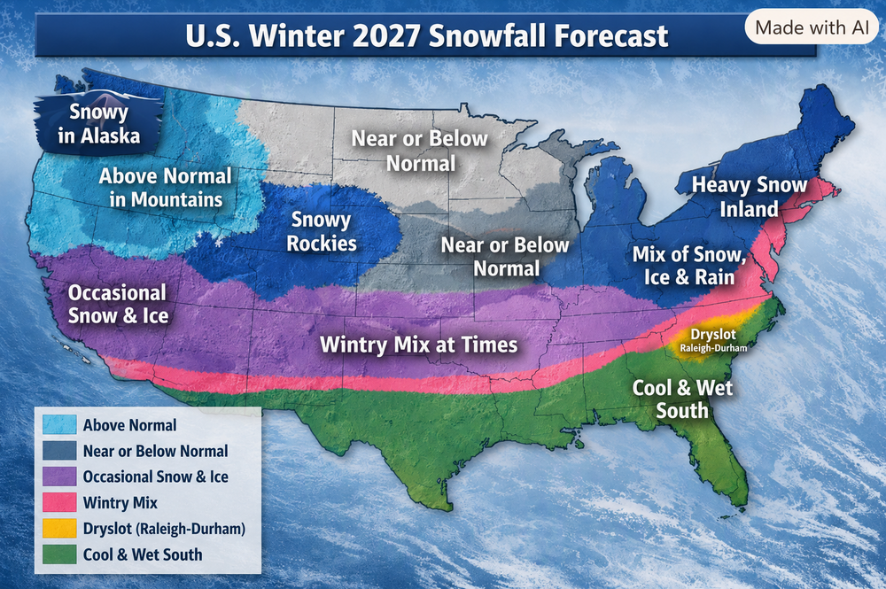
Geography isnt chats strong point but you get the point lol
-
Its been a nice lightning show with the cluster of storms over eastern Wake county tonite.
-
 Does Kendrick agree?
 -

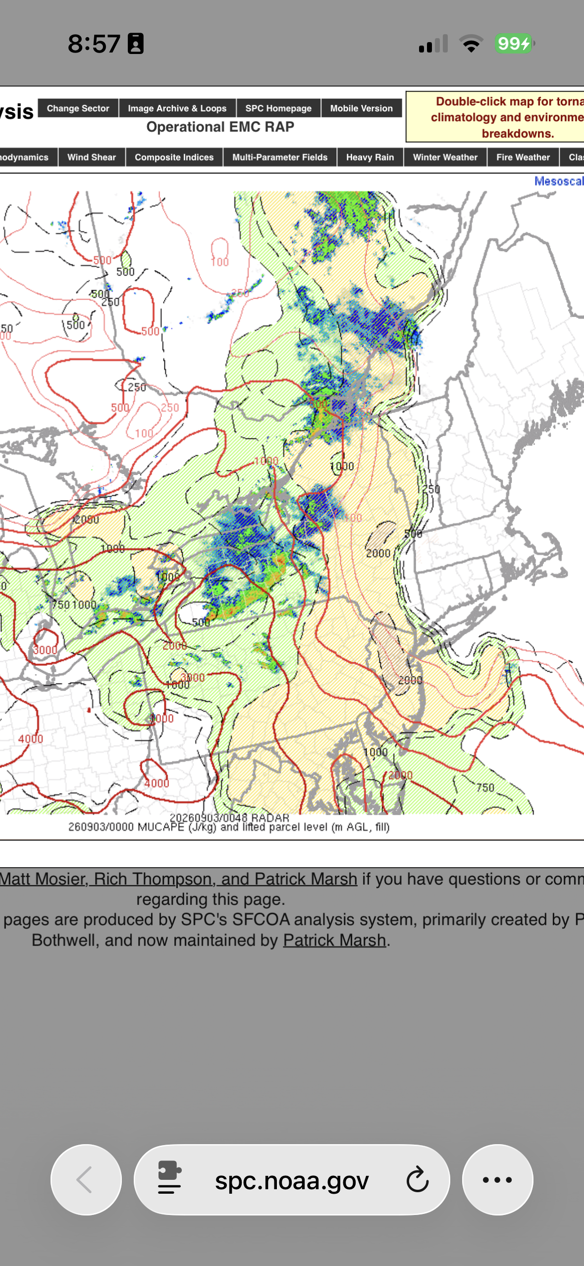
Monday, August 31 - Thursday, September 3, 2026 Convective Episodes
weatherwiz replied to weatherwiz's topic in New England
Easy to see where that will track. Hopefully we can get at least some isolated storms tomorrow afternoon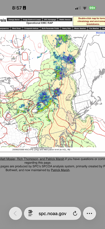
-
 canadian pharmacies online: canadapharmacyonline ~ legitimate canadian online pharmacies
 -
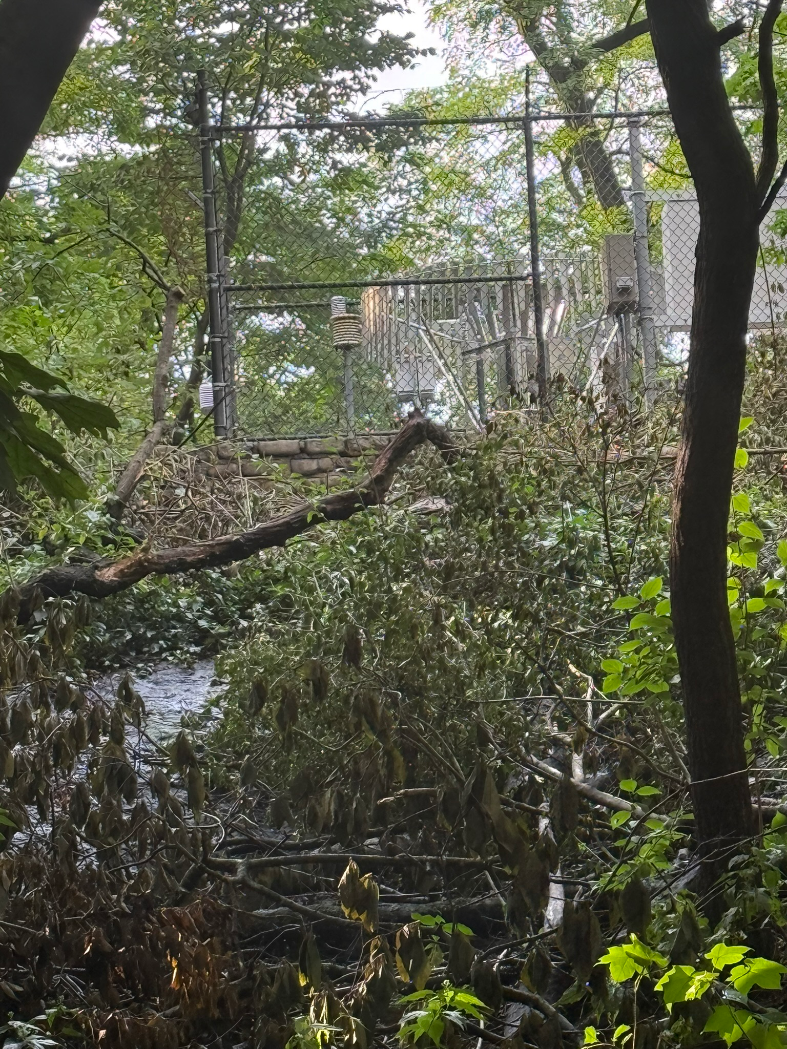
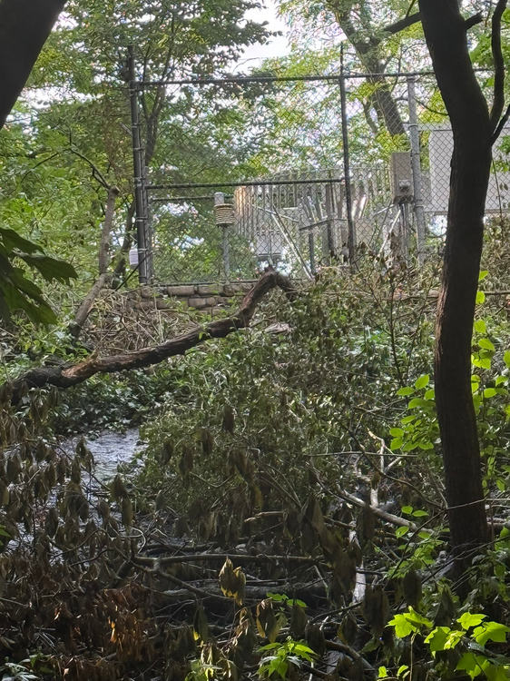
This is an upslope view after the tree removal. The shrubbery was trashed, but not removed. There was no other clearing, so only the east side of the enclosure was affected.
-

Septorcher 2026 Discussion - Endless Summer
tunafish replied to Damage In Tolland's topic in New England
-
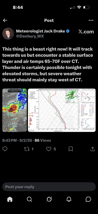
The Drake gets it
-
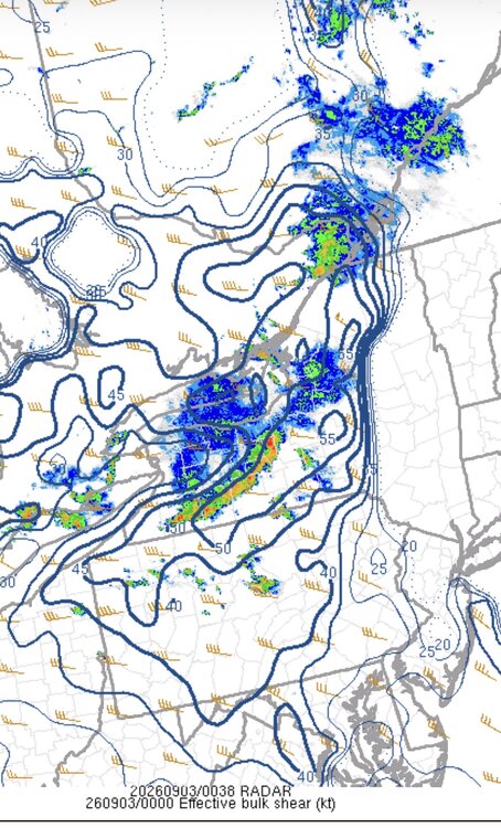
This tells the story for now at least.
-
Because of the high to our east . They always try to scour out the door airmass too quickly. It’s exactly as I described
-

Central PA Summer 2026 Discussion/Obs Thread
Blizzard of 93 replied to Voyager's topic in Upstate New York/Pennsylvania
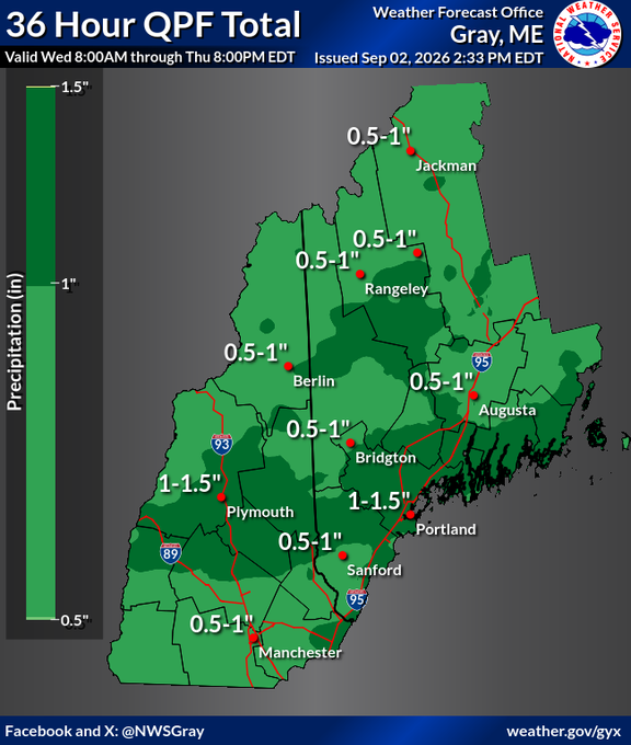
.56 rain today in Marysville. 1.25 total for the week. -

Monday, August 31 - Thursday, September 3, 2026 Convective Episodes
CoastalWx replied to weatherwiz's topic in New England
Models had decent dynamics with warm air advection generating storms over us a day ago, but now it seems to be diving more into PA and SE NY where better instability is. This is the theme all season. -
Let me ask the question in a non-contentious manner...will the maritime air over us now destroy these storms?
-
It also has redrawn the state borders of the SE
-
Then go buy some
-
Tomorrow and Friday will see temperatures top out mainly in the lower 80s. Showers and thundershowers are possible. Excessive heat with highs in the middle and upper 90s will be just south of the region in such cities as Baltimore and Washington tomorrow and Friday. A cooler air mass will move into the region for the Labor Day weekend. In its wake, temperatures will generally peak in the middle and upper 70s. The ENSO Region 1+2 anomaly was +4.2°C and the Region 3.4 anomaly was +2.6°C for the week centered around August 26. For the past six weeks, the ENSO Region 1+2 anomaly has averaged +3.93°C and the ENSO Region 3.4 anomaly has averaged +2.50°C. The ongoing strong El Niño, which has reached super El Niño threshold, will continue to strengthen through the summer. The SOI was -10.63 today. The preliminary Arctic Oscillation (AO) was +0.219 today.