All Activity
- Past hour
-
Same here and I would classify the first storm of the day severe. I was out in it and it had everything, vivid lightning and thunder, extremely heavy rain and flooding and strong winds.
-
Fireworks are still a go!
-
Saturday, July 18, 2026 Thunderstorm/Severe Weather Potential
Diggiebot replied to weatherwiz's topic in New England
Weenied the cape to some totals. A lot more to come -
We’ve gotten crushed here today. 2.09” and still pouring
-
Yea issues right after I posted lol. I checked right before!
-
Some distant thunder and about 9 sprinkles here from it. Broke up right on cue.
-
At least it doesn't look we will have any heat waves of multiple 90 degree days coming up in the next 7 days or so.
-
Just about 10 mins of good rain here with no thunder. Picked up 0.1" extra from this for a total of 1.73" total for the day. I see another cell blowing up over Jersey but TBD if it'll reach me or slide north of Queens.
-

Saturday, July 18, 2026 Thunderstorm/Severe Weather Potential
CT Valley Snowman replied to weatherwiz's topic in New England
Just seemed like a messy convective mode all day. Back home now from the Maine woods to horrible air quality and likely another severe fail. -
There is one
-
Surprised not even a special weather statement for this storm in Suffolk. Gusts 35-40 and pouring.
-
Actually a pretty strong strom here
-

Saturday, July 18, 2026 Thunderstorm/Severe Weather Potential
SouthCoastMA replied to weatherwiz's topic in New England
sweet, my bitching worked. .38"+ and heavy downpours sometimes you just gotta pull one out of the tblizz playbook to combat stein -
Just got some good rumbles of thunder by me, along with some rain. I missed a big storm earlier today when I was in Paramus donating platelets. Looks like tomorrow will be sunny, but I bet the pool in my community will be too cold to go swimming in.
-
We actually have damage in the park. Maybe a wet micro burst .
-

2026 Atlantic Hurricane Season
WxWatcher007 replied to Stormchaserchuck1's topic in Tropical Headquarters
Tropical Weather Outlook NWS National Hurricane Center Miami FL 800 PM EDT Sat Jul 18 2026 For the North Atlantic...Caribbean Sea and the Gulf of America: Northern Gulf of America and near Florida (AL91): Satellite images and surface observations indicate that a broad surface low is located over the eastern Gulf of America. The associated winds are currently light, and the shower and thunderstorm activity remains disorganized. However, gradual development of this system is possible, and it could become a tropical depression while it moves slowly northward or north-northwestward during the next few days. Interests along the Florida Gulf coast, southern Alabama, and southwestern Georgia should monitor the progress of this system as it is expected to bring heavy rain to portions of that region during the next several days. An Air Force Reserve reconnaissance aircraft is scheduled to investigate the system on Sunday, if needed. * Formation chance through 48 hours...medium...40 percent. * Formation chance through 7 days...medium...50 percent. $$ Forecaster Beven -
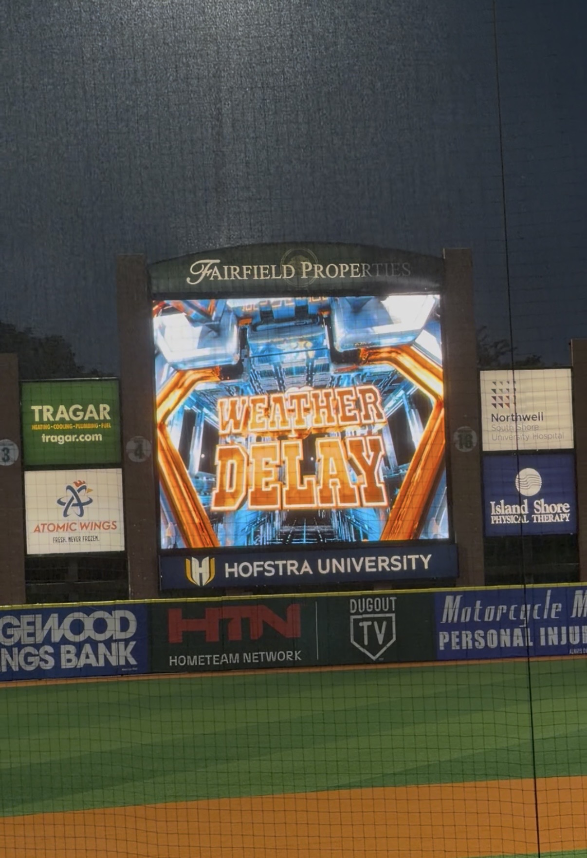
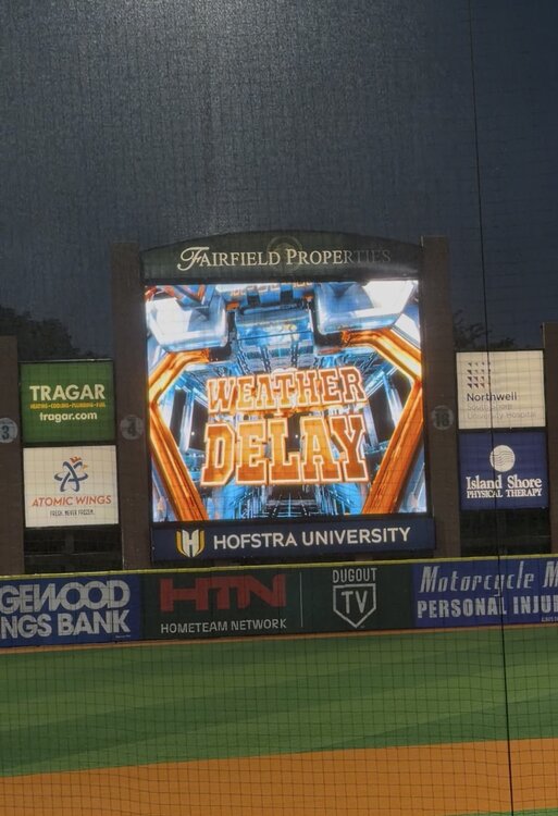
In central Islip at ducks game. Rain delay now. Not as crazy as what Long Beach saw. Still pretty intense
-
Looks like the line bowed out as it went through Long Beach and velocities 60+mph as it went through. Hopefully power outages not too bad.
-
High of 98 at 5:16pm/114 heat index. Unreal. Highest dew was 81 at 11:00am. No luck with the storms, 0.00", the outflow couldn't cool anything down.
-
Torrential downpours with frequent lightning. Feel like something close gor struck. Lots of hail with this storm, dime and nickel size Id guess. Same storm seen on the World Cup broadcast by the BK bridge 30 mins prior arrived here.
-

Saturday, July 18, 2026 Thunderstorm/Severe Weather Potential
Damage In Tolland replied to weatherwiz's topic in New England
Yes -

Saturday, July 18, 2026 Thunderstorm/Severe Weather Potential
kdxken replied to weatherwiz's topic in New England
New Bedford the rain capital. -
.thumb.gif.f92b16c631a1d15d405ed77b33f0710d.gif) Congrats! Great night for the south coast!
Congrats! Great night for the south coast! -
2 miles south of me, double or more rain today. Looks like these storms are splitting up coming in too.