All Activity
- Past hour
-
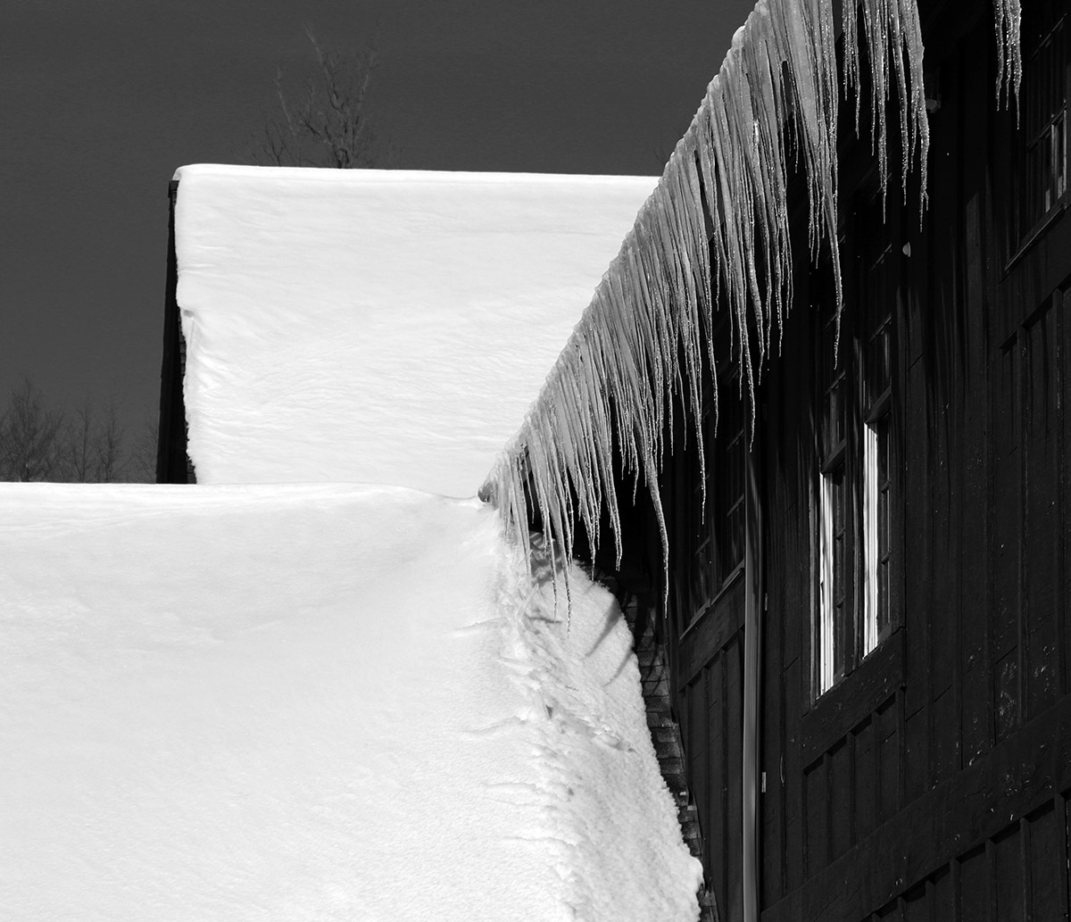
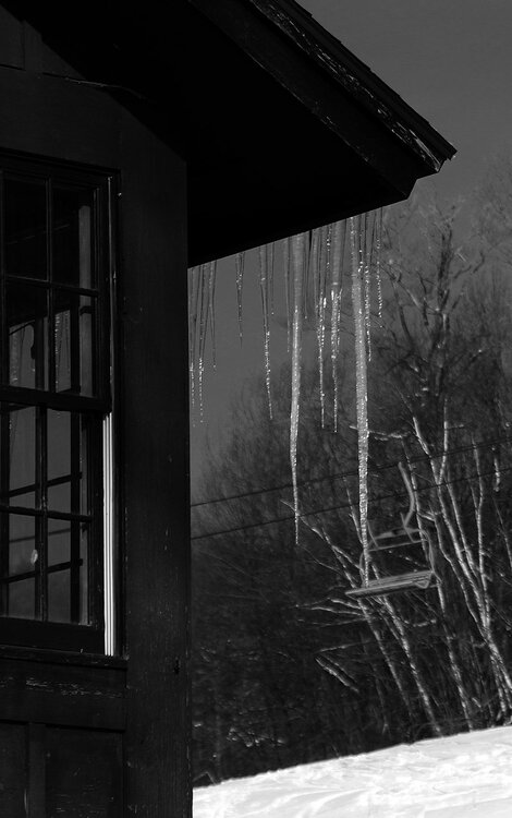
I think so. We don’t have gutters in our area either. They’d just be clogged 50% of the year.
- Today
-

November 2025 general discussions and probable topic derailings ...
frd replied to Typhoon Tip's topic in New England
There have been winters that provided remarkable snow and ice events. Long duration cold, MECS, etc. nothing weird about that. -

2025-2026 ENSO
Stormchaserchuck1 replied to 40/70 Benchmark's topic in Weather Forecasting and Discussion
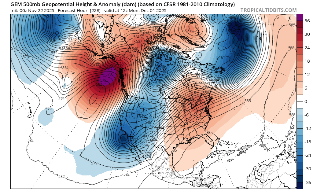
End of the 0z EPS is showing a +2std +NAO All the roll forward stuff this year was predicting it for the Winter at about a +0.2-0.3 correlation: - 7 straight +NAO months Feb to August - 8 straight +AO months March to October - Lag from Solar Max 0z EPS mean 360hr: -
End of the 0z EPS is not looking good lol
-
The favorable H5 look for December has slowly degraded on models over the last few weeks. -early Nov models had a persistent -NAO through Dec.. that's really changed to positive around the end of Nov/early Dec -A few days ago there was a strong +PNA on models. That has about disspeared -The -EPO was looking like it would be a strong pattern a week ago. It's still going to happen, but now as strong and persistent as before. By the 2nd week of December it's probably gone The best thing going for us is the Stratosphere warming, which usually "downwells" in +30 days at this time of year... puts a possible -NAO pattern for the 2nd half of December.
-
This guy hasn't been playing with a full deck since day one.. ignore and move on
-
 There have been some really good seasons and storms down there relative to Mid-Atlantic climo. My first season down there was 2013-14, which is my favorite season. Wall to wall winter in DC from January 1-late March. Much like us, the last decade has been rough. We really need to see the return of good coastals. I know Ray hates them, but Miller A’s can be solid from DC to Portland if you do it right. Hopefully everyone can cash in this winter.
 -
Can I ask a dumb question? I’ve noticed that gutters aren’t really a thing in my area, is that because of ice dams?
-
ALEET!!
-

November 2025 general discussions and probable topic derailings ...
WinterWolf replied to Typhoon Tip's topic in New England
Same here. -

November 2025 general discussions and probable topic derailings ...
Torch Tiger replied to Typhoon Tip's topic in New England
yeah i'm ready to max out with snow. not joking, i want 100" -
November 2025 general discussions and probable topic derailings ...
WinterWolf replied to Typhoon Tip's topic in New England
I’m ready for everything..how bout you? -
November 2025 general discussions and probable topic derailings ...
WinterWolf replied to Typhoon Tip's topic in New England
You’re in Delaware. Enough said. Sure, a 2010 comes along every 75-100 years or so…but it’s never really been anything remarkable there…ever. So the fact that you say “winters are not great anymore in my hood”, is just weird? -
Look, I KNOW I'm a damn broken record about this, but Mammoth's OPEN! You GOTTA see this! All the best snow in the whole world is waiting for you at Mammoth! It's only 3-4 hours away by plane! This is one of the BEST-EVER montages of all the FUN you WILL experience at Mammoth Ski Resort! https://www.mammothmountain.com/ Oh, and Palisades Tahoe is opening in only 4 days!!!
-
November 2025 general discussions and probable topic derailings ...
Torch Tiger replied to Typhoon Tip's topic in New England
are you ready for 07-08 "lite"? -
November 2025 general discussions and probable topic derailings ...
WinterWolf replied to Typhoon Tip's topic in New England
The Canadian…you really are a frieken clown. LMFAO! -
November 2025 general discussions and probable topic derailings ...
Torch Tiger replied to Typhoon Tip's topic in New England
it has been a long while since we've had a regional war-type season, that'd be fun -
I believe in 12/4-5
-
November 2025 general discussions and probable topic derailings ...
Torch Tiger replied to Typhoon Tip's topic in New England
need a December thread. welcome to winter!
-
meh RECORD EVENT REPORT NATIONAL WEATHER SERVICE PEACHTREE CITY GA 0433 PM EST FRI NOV 21 2025 ...RECORD HIGH TEMPERATURE SET AT ATLANTA... A RECORD HIGH TEMPERATURE OF 79 DEGREES WAS SET AT ATLANTA TODAY. THIS BREAKS THE OLD RECORD OF 77 DEGREES SET IN 2011.
-
Gfs fantasy sleet storm dec 4-5
-

December 2025 Short/Medium Range Forecast Thread
jaxjagman replied to John1122's topic in Tennessee Valley
If you ask me this pattern we are fixing to get looks more severe in early Dec,You got heights rising before t-giving into the Sea of Okhotsk,with a trough in East Asia and rising heights into Mongolia -

E PA/NJ/DE Autumn 2025 Obs/Discussion
Nodriveslow replied to PhiEaglesfan712's topic in Philadelphia Region
That's pretty impressive. I live in a twin and I'm exposed to the West/Northwest, so get blasted by the cold winds. Small house so doesn't take long to hear up. Normally nerd humidifier on in Jan and Feb. -
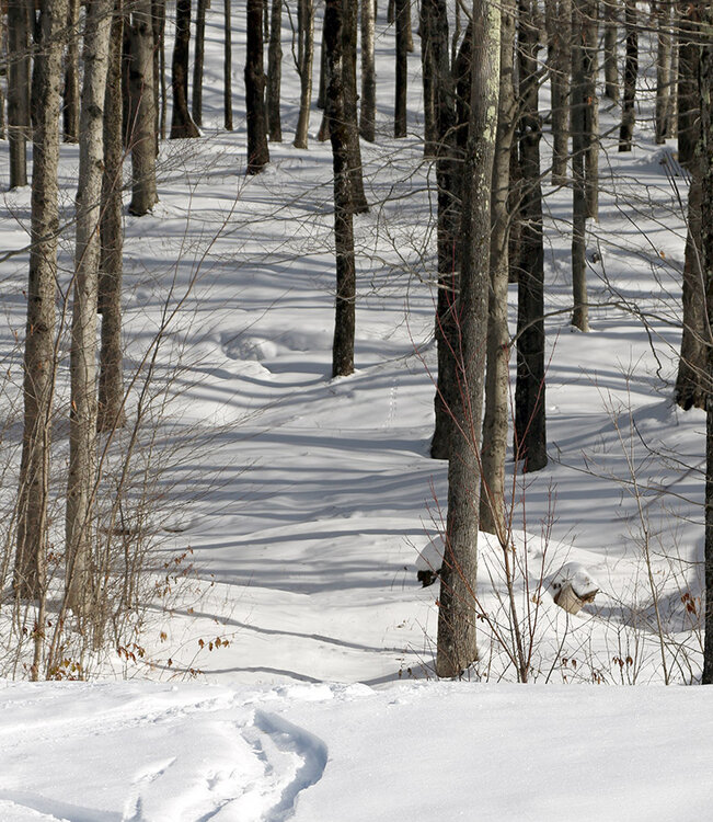
By midweek, our protracted period of snowfall was winding down here in the Northern Greens, and we finally began to get some views of the mountains. When the clouds broke away you could see that the mountains were absolutely plastered with snow – the snowpack depth at the Mt. Mansfield Stake topping out near 40 inches will attest to that. Also notable in the views was the very low snow line – it reached way down below 1,000’ into the valleys. I hadn’t been out to the hill since Monday when the storm was still going strong, but I had enough time yesterday to go on a ski tour for my workout. I was unsure if the lower elevations of Timberline were still going to be offering good powder turns, but when I parked and checked out the snow consistency, it seemed quite good, so I decided to tour from there. The snow had definitely settled since Monday; depths at 1,500’ that were 15-20” on that outing were roughly 12” yesterday. There hasn’t been any real melting of the snow, so that really just represented settling of the snowpack, and all the liquid equivalent was still there to support skiing. Areas in direct sun showed greater effects of consolidation, but humidity levels have been low, so even the most affected areas still weren’t getting mushy. The depth of the snowpack definitely increased with elevation, and up around 2,000 – 2,500’ the snow depths were in the 1 to 2 foot range. I didn’t get any higher than that, but above 3,000’ the depths should be fairly similar to the depths at the Mt. Mansfield Stake. By yesterday there had naturally been a lot of additional skier traffic compared to Monday, but there were still plenty of untracked lines available. The very best powder was in areas protected from the sun, but that’s a lot of terrain at this time of year when the sun angle is so low. The snow may have consolidated a bit more today with the current system affecting the area, but as of yesterday, fat skis were still definitely the way to go. There were some areas of deep, unconsolidated snow that could really throw you for a loop. To that point, I hit one especially deep pocket that was 2 to 3 feet of bottomless fluff, and even on my 115 mm boards, everything just dropped away from below me and I wound up going head over heels into deep snow. It was a chore to extricate myself from that. In general though, the skiing just offered more sublime powder turns that would rank right up there with the best midwinter days.


-

Central PA Fall Discussions and Obs
canderson replied to ChescoWx's topic in Upstate New York/Pennsylvania
It’s been a while but extremely good high end chocolate