All Activity
- Past hour
-
So, with all of the talk about the safety of folks in Tuscaloosa for GA/FL (which I agree is warranted), why doesn’t the media seem to care much about the safety of folks going to Bobby Dodd Sat afternoon, which will likely have worse conditions than Tuscaloosa in the mid to late afternoon (gametime in ATL). This is such a silly/stupid double standard. —————— FFC’s not playing around: .FLOOD WATCH IN EFFECT FROM LATE FRIDAY NIGHT THROUGH SUNDAY MORNING... ...HIGH WIND WATCH IN EFFECT FROM SATURDAY MORNING THROUGH SUNDAY MORNING... —————— SATURDAY SHOWERS. A SLIGHT CHANCE OF THUNDERSTORMS IN THE MORNING, THEN A CHANCE OF THUNDERSTORMS IN THE AFTERNOON. BREEZY WITH HIGHS IN THE UPPER 60S. EAST WINDS 20 TO 25 MPH WITH GUSTS UP TO 50 MPH. CHANCE OF RAIN NEAR 100 PERCENT.
-
If that's the case, then there's no way they play the Georgia-Alabama game as scheduled.
-
Congrats on the new digs. When are you getting a PWS?
-
Also has it pretty much on the coast at 100 mph now
-
Nhc has it hitting 115 now. Not surprising based on structure improvement. 105 mph now and 969 mb.
-
 prescribed antibiotics online and generic antibiotics online cheap generic antibiotics https://www.google.lk/url?q=https://antibiodirect.com online antibiotics and https://boyerstore.com/user/jtakiwdlbw/?um_action=edit generic antibiotics online cheap [url=https://maps.google.cv/url?q=http://antibiodirect.com]get antibiotics without seeing a doctor[/url] antibiotics and [url=http://asresin.cn/home.php?mod=space&uid=1266855]over the counter antibiotics[/url] buy antibiotics from india
 -
I dropped 25F in 3.5 hours 10 F drop 9-10. 64 to 54
-
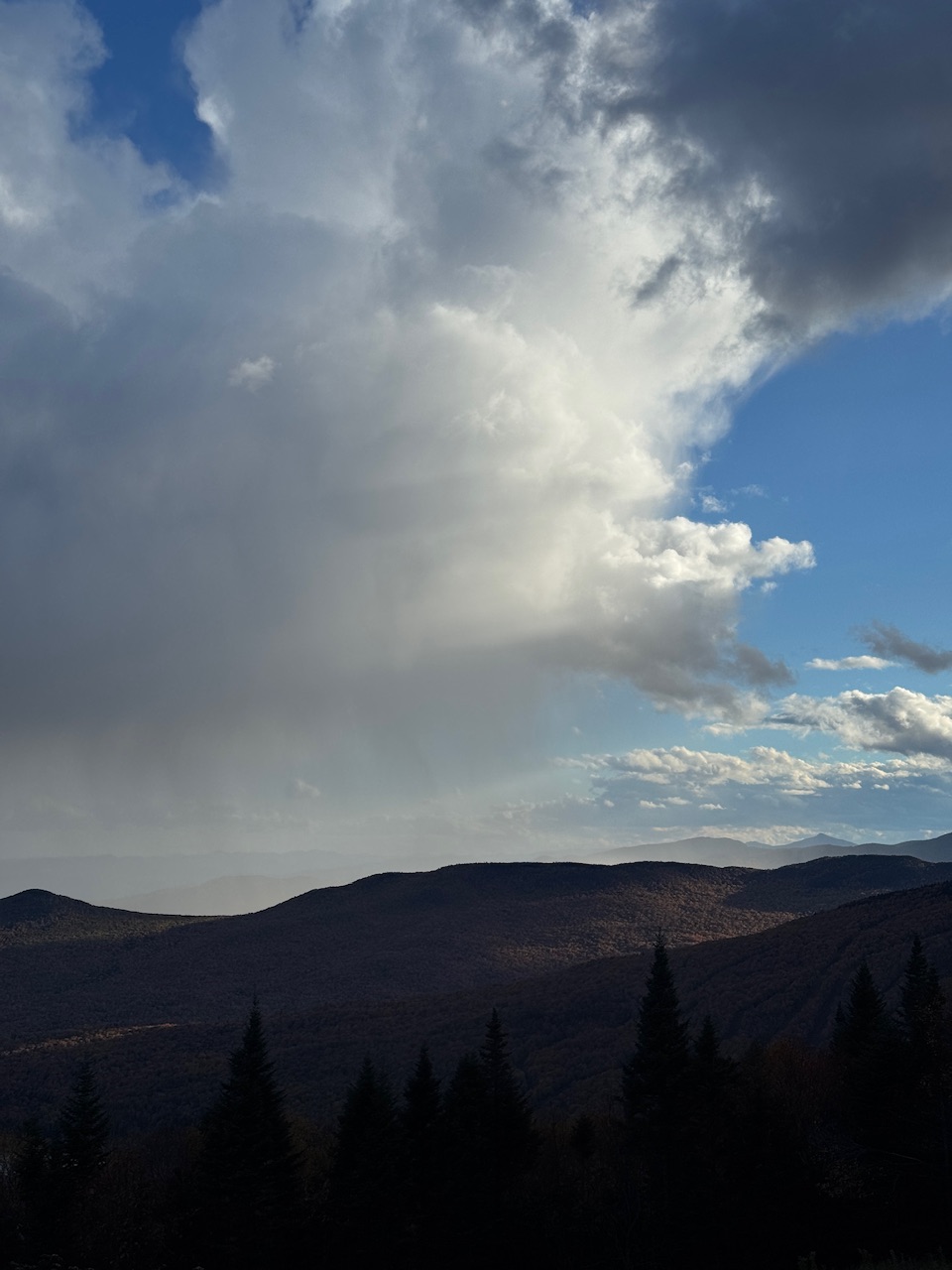
Low of 35 here I'll post some frost photos. Edit can't post them darned file size limit so here is another fall foliage photo instead. If they got down to 30 they beat Mount Pocono by 1 degree. All Cat 1 landfalls should be retired. Worst since Sandy both for winds and damage. Rooftop only frost but 35 for the low 37 is the lowest temperature you can have frost. Interesting temperature difference 35 here with light rooftop frost 31 at Mount Pocono first freeze and 37 at Scranton. It was also unexpected. It should be mandatory for all Cat 1 landfalls to be retired. Worst since Sandy. This is why you need to remove weak trees near the house. Yikes that's NASTY! And the air conditioning the following day lol. 35 here and light frost but only on my roof. I had both air conditioning and heat on in August. Or even both at the same time lol. Meh I'll turn it on in August if it's cold. 35 here and frost but only on my roof. Weak trees close to the house need to be removed I had to do that after a microburst in 2018. Same temperature as Mount Pocono 31 first freeze. Wow only 68 here but tomorrow should be warmer in the 70s with less wind. Maybe you will hit 80.
.thumb.jpeg.157457ce40270cc9cd3d27172f776b41.jpeg)
.thumb.jpeg.df510587514eda0f6ce80bec21060644.jpeg)
-
Tornado threat for AL/GA will be significant as well. Atlanta will be under the gun from both strong easterly winds and the tornado threat on Saturday. I wouldn't be surprised to see a moderate risk on Saturday for the area currently under a slight from the SPC if things hold serve.
-
0z hrrr and nam absolutely shred this just before landfall. Halficane
-
This is going to be a highly satisfying storm. It is still intensifying and might touch Cat 3. ANTECEDENT FRESHWATER: Soils are hypersaturated. They might get to see 15 additional inches of rain Winds felling trees: Ground is saturated. It won't take much wind to topple every last tree in that saturated soil. Look out houses, buildings, cars and people trying to jebwalk in this thing. Gulf of Mexico Bathymetry: Shape of the bottom will enable the storm to push a lot of ocean up onto the low lying coast resulting in incredible storm surge! People will get to watch that water go up, even gushing UP through drains! There is a possibility of more rain than expected with this. The moisture will have nowhere to go thanks to a blocking high over the Mid Atlantic. South Georgia, West Florida SE Alabama are all under the gun with this system! APPLICATION: Very exciting storm, satisfying rain amounts, strong winds and lots of falling trees along with storm surge flooding and freshwater flooding exacerbated, thanks to saturated grounds because of antecedent heavy rains before this storm. I fervently wish I was down there in the worst hit regions, I'd be blasting Daddy Yankee tracks and dancing like Smeagle in Lord of the Rings!
-
I wouldn't even call it the remnants... it is a low pressure pulling up gulf moisture.
- Today
-
Bet this is close to major already
-
Josh is in Pensacola as he chose Isaias over Simon but wishes there were two of him so they could chase both lol: https://x.com/iCyclone/status/2108365382130045125
-
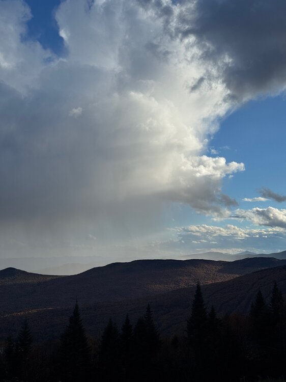
Passing showers today.
-
Still watching at least hoping to water the yard lol .
-
Looking at the presentation on the WV right now and this seems very plausible. .
-
Going to pass over that warm eddy to with much improved structure now. Shear shouldn't be too bad overnight. I could see a cat 3 peak potentially. By afternoon tomorrow it will start feeling effects of much higher shear and eventually drier air towards coast.
-
Really starting to look quite nice on IR
-
Yea, I brought up Lily and Opal yesterday...Ivan was another.
-
This tells us all we need to know. 3 westward moving typhoons and no recurve . Mild as far as eye can see with no troughing . https://x.com/ryanweather/status/2108372136901390378?s=46
-
We'll see...should interesting to watch play out.
-
https://auroramedsdirect.com/# canada pharmacy world
-
Yep, it's your Opal 1995, Dennis 2005, Lili 2002 type. Although those peaked higher than this one will so this will likely be even weaker coming in. The more recent storms like Laura and Michael are the exception in the N Gulf.
-

2026-2027 Record-breaking El Nino
40/70 Benchmark replied to Stormchaserchuck1's topic in Weather Forecasting and Discussion
The western Pacific was absolutely warming faster than the eastern Pacific over the past decade. Good discussion....sure beats the hell out of "warm and rainy".








.jpeg.4691349b5fa09817059f07f13f5f4eb8.jpeg)
.jpeg.394c2d21050394afdf1cbeb03c93a295.jpeg)