All Activity
- Past hour
-

2026-2027 Strong/Super El Nino
40/70 Benchmark replied to Stormchaserchuck1's topic in Weather Forecasting and Discussion
Yea, pressure is an element of the MEI, I believe. -

2026-2027 Strong/Super El Nino
GaWx replied to Stormchaserchuck1's topic in Weather Forecasting and Discussion
Besides the MEI, I feel that the SOI (which may be part of the MEI…Is it?) remains a good measure of the phase and strength of ENSO because it is a calculation based on SLP differences between two points thousands of miles apart and thus doesn’t seem to be influenced by CC. In essence a relative SOI is likely not needed. Of course, because it is so volatile and subject to day to day randomness, it’s best looked at in 30+ day averages. Then again, if, say avg. Australian SLPs have been affected by CV differently from how Tahiti SLPs have been affected by CC, then even SOIs would need an adjustment. Other opinions? -
2026-2027 Strong/Super El Nino
40/70 Benchmark replied to Stormchaserchuck1's topic in Weather Forecasting and Discussion
This is why I feel we want a high RONI during an El Nino event....the RONI represents a spectrum, or continuum if you will, of the ability of warm ENSO to modulate the north Pacific versus the baseline trend that is more reflective of CC, which is cool ENSO like. I think folks obfuscate this with the MEI, which simply measures the intensity of the warm ENSO coupling. RONI is not so much about the intensity of the coupling, but the war waged between ENSO and competing hemispheric forces. -
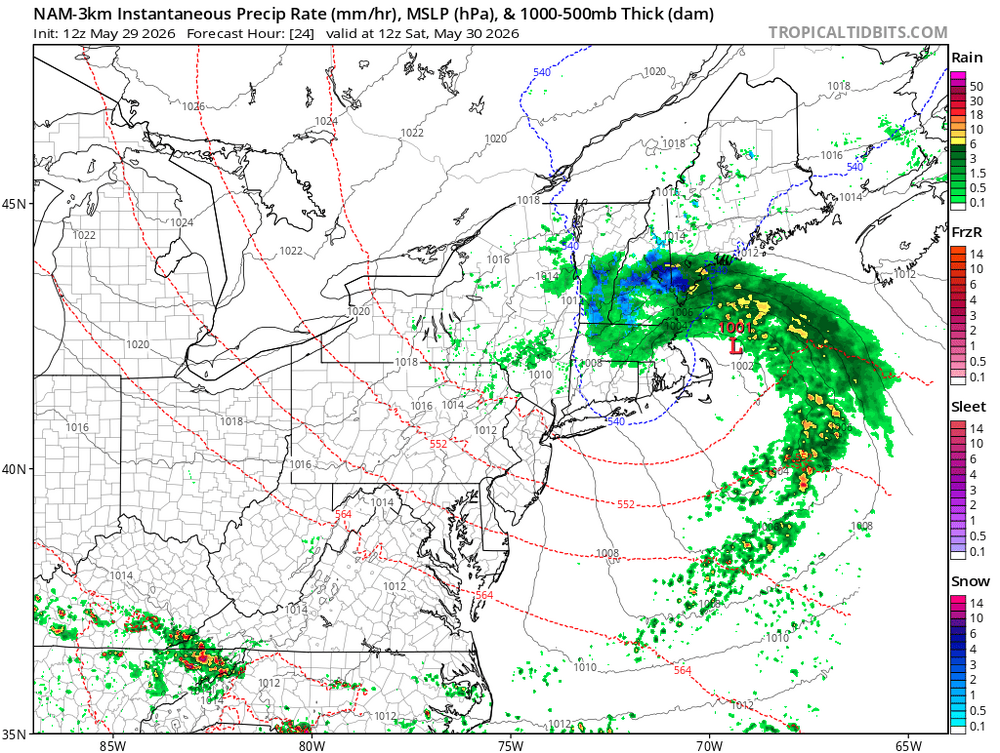
Hey! A thread might be fun
-
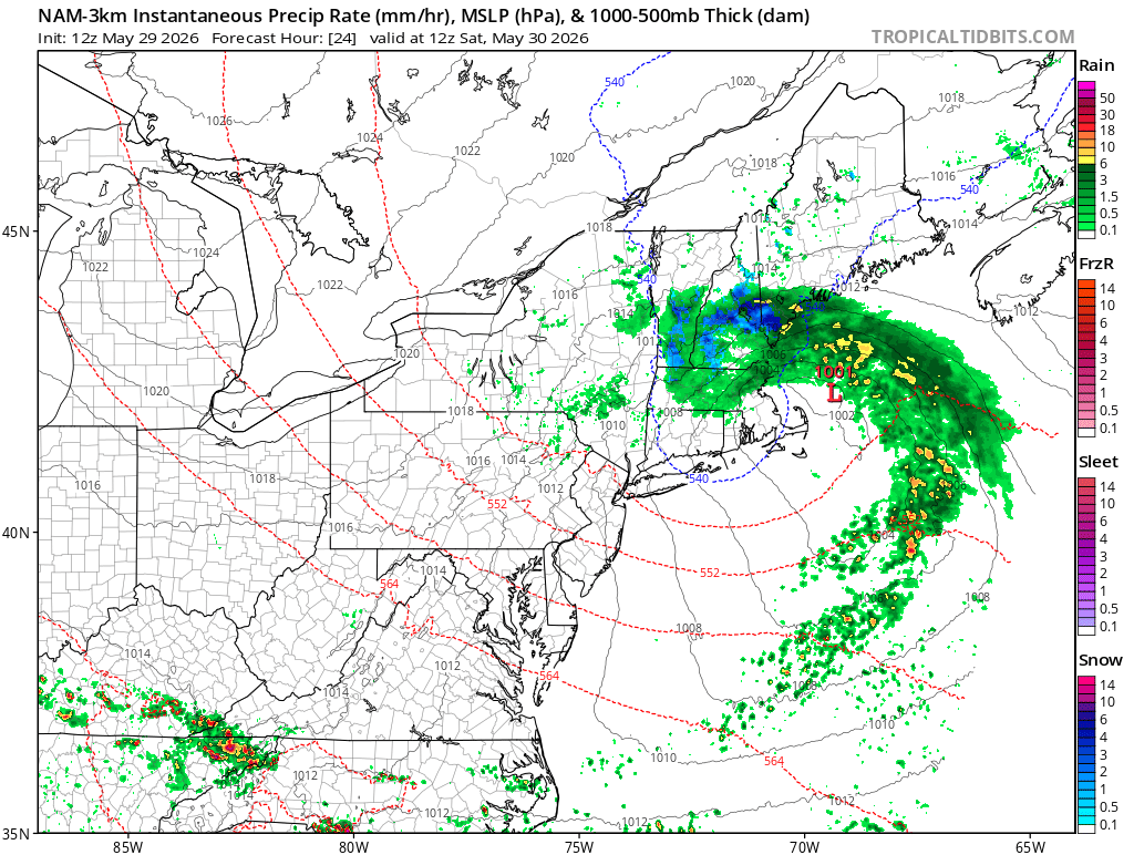
Figured we could have a thread about this as Vortex69 mentioned. Some good winds, rain for some... maybe even some flakes. NH mountains could grab a few inches
-
2026-2027 Strong/Super El Nino
40/70 Benchmark replied to Stormchaserchuck1's topic in Weather Forecasting and Discussion
Not that it is going to flip on a dime, but the last -AMO cycle coincided with the negative portion of the multidecadal NAO cycle in the 60s. I think we are more likely to see a modified version of that (CC) around and after the solar min early next decade. This season should be decidedly positive. -
another boring beautiful day the california climo really does get old quick
-

Summer 2026 Med/Long Range Discussion
TheClimateChanger replied to Brian D's topic in Lakes/Ohio Valley
-
 In the nicest way this is the mid atl forum, so I’m sure south central PA has a different weather experience the past few months. For 90% of us we have not had such luck.
 - Today
-

Central PA Spring 2026 Discussion/Obs Thread
Voyager replied to Voyager's topic in Upstate New York/Pennsylvania
I heard the NWS might issue a Flying Trash Can Warning for tomorrow... -

2026-2027 Strong/Super El Nino
bluewave replied to Stormchaserchuck1's topic in Weather Forecasting and Discussion
Yeah, we can see the overlapping influences between the El Niño, MJO, and -PDO heading into early June. The ridging showing up south of Alaska into Western Canada is the correlation with the El Nino and +AAM. The extension of the ridge further east across much of the CONUS is more -PDO and MJO 8-1 related for this time of year. So effectively a 500 mb composite in early June that reflects these influences. A coupled El Niño will vary in its sensible weather related to the other influences. Also the pattern in recent years of the 500 mb ridges becoming stronger and more expansive with weaker troughs during any given ENSO state. -
At least on Monday we should get some cold pool small hailers
-
heh, what was the conversation about ? Oh, I see. yeah
-
2026-2027 Strong/Super El Nino
BlizzardWx replied to Stormchaserchuck1's topic in Weather Forecasting and Discussion
Yeah, that is what my page shows as of the 27th for the daily value. As for how I did it, that's an important point to dwell on for any PDO calculation. It's dependent on the period of record, the exact domain, how much you correct the climate change signal, etc. All of these effect the EOF calculation that defines the weights that can then be used in the actual calculation. None of this is clearly standardized anywhere, which is why different groups get different values. I think that mine and WCS are better than NOAA who does not appear to have detrended the climate change signal properly. -
Just to make sure you just weren't making up s***.
-
A rainy period is always 3 weeks away here now… Raleigh all but guaranteed to slip into level 2 water restrictions. Saw the lake was headed to 70% (currently 73%) and current restrictions went in at 85%. 60% is next level and that will come quicker as water usage increases in summer
-
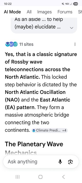
As an aside ... to help (maybe) elucidate some of the scale of this anomaly, did you know that there is a teleconnector where eastern mid latitude N/A tends to trough/ridge at the same time as western Europe? It's just an aspect we covered in FAST II back in school. There are a few of these around the world. All they really are, are just arguments surrounding standard wave spacing in the L/W distribution - the stable #s tending to be the return state, is physically and also statistically (both) confirming these quasi-relationships. That said, ... a +3 SD or greater NW-W European ordeal, with its 95 to 100 F whopper pre June heatwave days over end is a circumstance that DEFINITELY is incongruous with the former inference. We should be hot too. But here's the thing ... this event is sub-index scaled. It's small. Too small really to be 'detected' numerically by the teleonnection inference. It's like reaching into an ice chest, balling up a snow ball, and throwing at us. It's moving S parabolically within a L/W axis, but it's anomalous relative to the L/W itself.
-
2025-2026 ENSO
TheClimateChanger replied to 40/70 Benchmark's topic in Weather Forecasting and Discussion
Exactly. A -2.6°F January departure against the warmest thirty-year normal on record is not some historic cold event. It does not even crack the top fifty coldest Januaries locally. In the old climate, that would have been a pretty ordinary, seasonably cold January. In today’s climate, people have become so used to warmth that a modestly below-normal month suddenly gets treated like 1977 reincarnated. That is the broader point they keep missing. Nobody is denying that cold shots happened, or that parts of the Great Lakes had a cool stretch. But it is pretty rich to accuse others of “ignoring the cold” while repeatedly ignoring the much larger and more persistent warm signal. From a historical perspective, it has been very warm year-to-date across much of the Midwest and Great Lakes, and even looking back over the last six months or so, since late November, warmth has easily won the battle. So yes, talk about the cold when it happens. That is weather. But pretending a ho-hum cold month or a two-to-three-day cool shot cancels out repeated warm pulses, record ridging, and months of above to well-above normal temperatures is not weather enthusiasm. It is selective accounting. -
The op GFS stopped its fake early June typical tropical cyclone nonsense. However, the EPS runs (along with GEFS) are now hinting at a modest increase in TCG potential in the Gulf in mid June after the MJO has been in phase 8 for awhile per EPS/MJO fwiw. The non bc-GEFS stays in phase 7 though. Per Joe Bastardi, phase 8 is a bullish phase for Gulf TCG in June.
-
it'd be funner of this suddenly cold pool insertion aloft were to pass into the region at 18z instead of 06z...
-
Euro gusts show it . It’s wrong
-
 Mason/Dixon line has been a pretty sharp cut-off for the have's vs have-nots on precip prior to the past week.
 -
There was a big snowstorm Memorial Day Weekend in the Adirondacks May 24-26, 2013. https://weather.com/storms/winter/news/snow-new-england-new-york-weekend-20130527
-
49.0 for the low, looks (and feels) like a glorious late spring day here!
-
Nice way to end the ski season up there.