All Activity
- Past hour
-
Stop downplaying convection! There is more to wx than just SPLUS!
-
Even if heights are high over here, the low heights and cool in Ontario is going to mean lots of backdoor cold front risks.
-
Huge supercell in central Texas with hail wrapping in the RFD, overhang, possible 3" hail. New tornado warning here
-
Lol no for a minute though after this was taken I thought we might have a chance
-
Cars damaged?
-

2026 Spring/Summer Mountain Thread
Maggie Valley Steve replied to Buckethead's topic in Southeastern States
Front porch weather on this Mother's Day afternoon!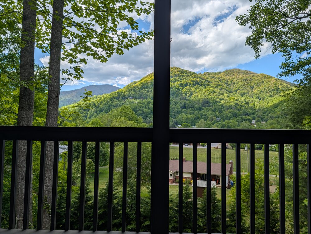
-
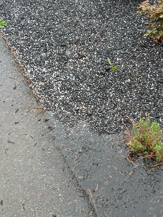
Only pic I took my phone got soaked but had a few bigger ones after this... awesome day @weatherwiz lol
-
Close strike baboom!!!
-
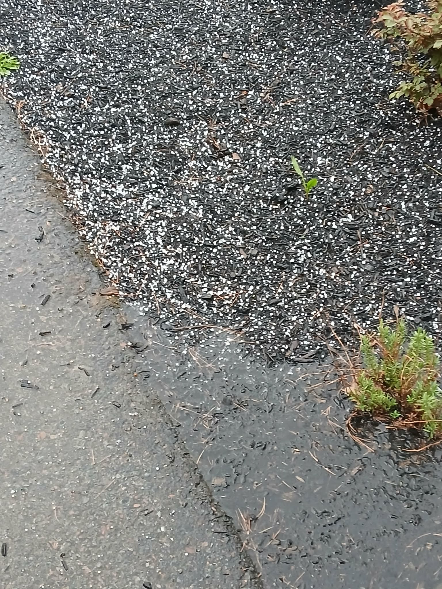
Peas with dimes mixed in this is wild!! Yard flooded
-

Winter cancelled/uncancelled banter 25/26
donsutherland1 replied to Rjay's topic in New York City Metro
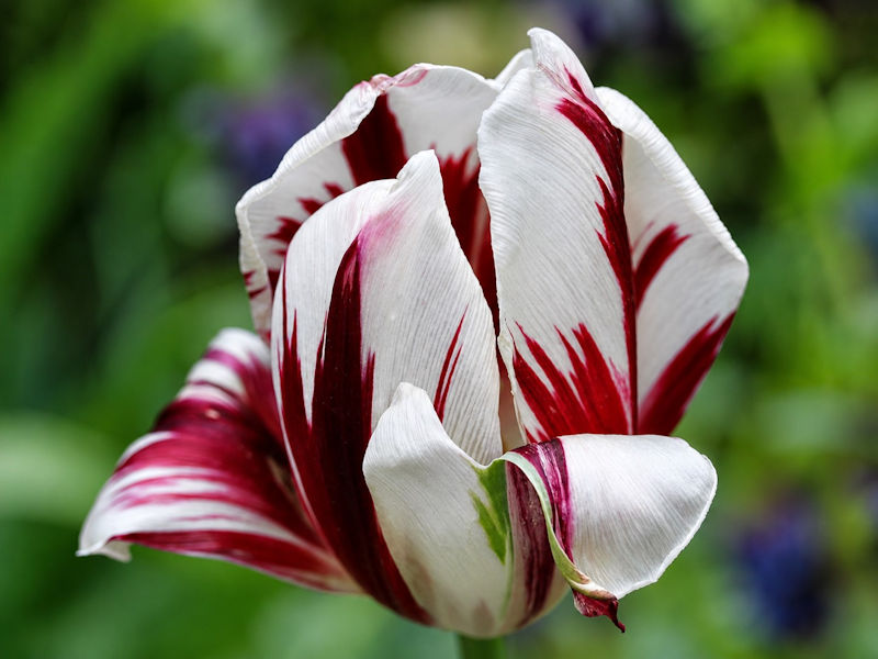
Five photos from the New York Botanical Garden today: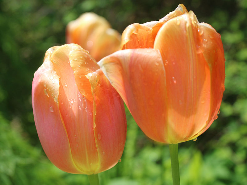


-
OK so I was able to only include NE states but it had to be limited to the current month

-
Euro backing off of the heat coming later this week. GFS a little warmer but nothing big. Looking like quite a bit of cool (some 40’s) still in the cards heading into the later part of the month with eastern troughing back at it again.
-
Nice tropical downpour came through my yard about 30 minutes ago. I see puddles and standing water. Wow!
-
So peas?
-
The daily data base is way to big. Still working on it
-
Big hail holy shit
-
May 1-10 is finishing with a mean temperature of 58.8° in Central Park. That is 1.6° below normal. Some additional showers and a thundershower are possible late tonight. Much of next week will see temperatures top out in the lower and middle 60s. Additional showers are possible on Thursday as a warm front moves northward. There remains a risk that the front could stall for a time. Friday could see temperatures return to the 70° or above should the front clear the region. It will turn warmer during the weekend. Parts of the area could reach or exceed 80° on Saturday and especially Sunday. In the long-range, there has been a shift in the guidance toward a near or somewhat warmer than normal second half of May. The probability of a warmer than normal second half of May has increased. The ENSO Region 1+2 anomaly was +1.3°C and the Region 3.4 anomaly was +0.9°C for the week centered around April 29. For the past six weeks, the ENSO Region 1+2 anomaly has averaged +1.47°C and the ENSO Region 3.4 anomaly has averaged +0.42°C. El Niño conditions will likely develop during late spring or early summer. The SOI was +1.86 today. The preliminary Arctic Oscillation (AO) was +0.109 today. Based on sensitivity analysis applied to the latest guidance, there is an implied near 51% probability that New York City will have a cooler than normal May (1991-2020 normal). May will likely finish with a mean temperature near 63.0° (0.2° below normal). Supplemental Information: The projected mean would be 0.5° above the 1981-2010 normal monthly value.
- Today
-
Hailing!!!!!
-
Sure
-

Central PA Spring 2026 Discussion/Obs Thread
Voyager replied to Voyager's topic in Upstate New York/Pennsylvania
Different story up here. With a high of only 66, it was more of a damp feeling than a humid one. Borderline jacket weather for me. As for rain, only 0.01" so far. -
next 4 days wont make it to 70..
-
The last real multi-year drought in the Northeast was in the 1960s. Every time we get dry for like 6 months, it all comes crashing back wet to make up the difference. The presence of drought itself somehow have morphed into "not supposed to happen" or "it is unusual." Really? 10-15% of the CONUS in in drought on avg at any one time. This is normal. And by default, drought means lack of rain to the MSM. No, it doesn't. Socioeconomic drought is due to poor land/water management or infrastructure not keeping up w/ the water demand in a region.
-

E PA/NJ/DE Spring 2026 Obs/Discussion
KamuSnow replied to PhiEaglesfan712's topic in Philadelphia Region
Just had a thundershower here, nothing dramatic, a fair amount of lightning and thunder not too far away. Wasn't really expecting it, lol. 0.15" of rain so far (still raining). Well take it, thanks! Eta, 72F currently, down from 77. -
Typical rain set up for my area again. Splitting the two lines will see if the back one makes it here intact.
-

2026-2027 Strong/Super El Nino
snowman19 replied to Stormchaserchuck1's topic in Weather Forecasting and Discussion
+IOD development. And it’s going to be off to the races….