All Activity
- Past hour
-
Trash area for severe
-
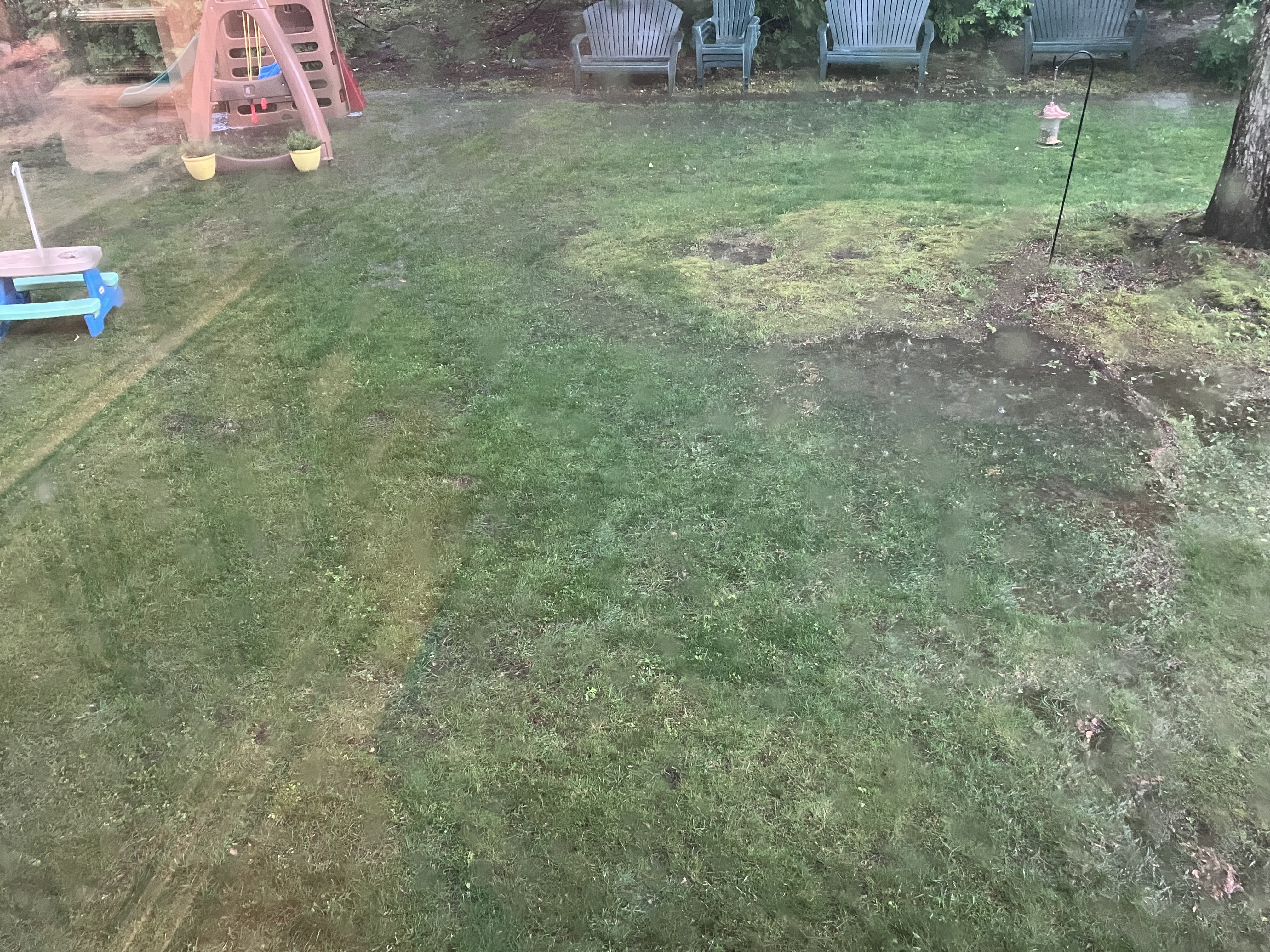
Quite the downpour with some hail in the Bx now
-
Mean wind is towards Fairfax Co, so there's a shot. There's a small theta_E min on mesoanalysis right over that area, so perhaps it weakens on approach...if it makes it. Certainly seems feasible, but will be really close. That area was basically the edge of the greater instability progs. Hopefully it falls apart soon so the decision is easier.
-
Storms finally triggering on the tail end, maybe outflow from earlier was enough to get it done
-
Has anyone noticed how bad the mosquitos are this summer? Usually they never bother me . Out in the yard and even cooking on the Blackstone today night they are swarming and got several bites .
-
4 inches and another cell dropping 6"/hour headed their way.
-
Henniker and Hillsborough are fucked. Holy crap.
-
No thunder up here… just a 0.49” stratiform rain over 3 hours. The mosquitoes will enjoy it.
-
Got it. Connecticut but not Connecticut.
-
Getting ready to get smacked it looks like. Shelf cloud.
-
.31 which is good because we really needed it after four dry days…
-
Let me rephrase for the ones that aren’t following. I didn’t get where the CT valley north and east were being discussed . NW CT is the southern Berks. And you just don’t include them in the other 95% of CT
-
Cell didn’t miss. Severe heavy rain. My goodness. No hail. Just some of the heaviest rain I’ve ever seen. We flood. And I suddenly have a river in my back yard.

-
-
Flash Flood Warning for Allegheny County Issued by National Weather Service Pittsburgh, PA 5:29 PM EDT Fri, Jun 6, 2025 The National Weather Service in Pittsburgh has issued a * Flash Flood Warning for... Southeastern Allegheny County in southwestern Pennsylvania... North Central Fayette County in southwestern Pennsylvania... East Central Washington County in southwestern Pennsylvania... Southwestern Westmoreland County in southwestern Pennsylvania... * Until 830 PM EDT. * At 529 PM EDT, Doppler radar indicated thunderstorms producing heavy rain across the warned area. Between 0.5 and 1.5 inches of rain have fallen. Additional rainfall amounts of 1 to 2 inches are possible in the warned area. Flash flooding is ongoing or expected to begin shortly. HAZARD...Flash flooding caused by thunderstorms. SOURCE...Radar indicated. IMPACT...Flash flooding of small creeks and streams, urban areas, highways, streets and underpasses as well as other poor drainage and low-lying areas. * Some locations that will experience flash flooding include... Greensburg, McKeesport, Jeannette, Jefferson Hills, White Oak, Monessen, Donora, Mount Pleasant, Scottdale, Monongahela, Charleroi, Irwin, Manor, Youngwood, West Newton, Liberty, Lawson Heights, New Stanton, Port Vue and New Eagle. PRECAUTIONARY/PREPAREDNESS ACTIONS... Turn around, don't drown when encountering flooded roads. Most flood deaths occur in vehicles. In hilly terrain there are hundreds of low water crossings which are potentially dangerous in heavy rain. Do not attempt to cross flooded roads. Find an alternate route. && FLASH FLOOD...RADAR INDICATED
-
I think they do pretty good. They had two tornadoes two years ago. I’ve seen them do well.
-
All it does is rain there during the warm season and snow during winter. Amazing climo lol. It looked like it wanted to rain here around 4:30 but it vanished as usual.
-
I think it was more the idea of some scattered stuff. NW CT could be in for a nice one.
-
Fucking Henniker
-
At Narragansett school now wind and rain is insane.. and dark as night
-
Some decent lightning between JC and Hoboken.
-
All HAIL golf-balls falling from the heavens.
-
Any Mets want to chime in on if those storms entering VA will hold together through fx county? Want to know how swim practice will go tonight.
-
2.75" in 60min per PWS, however, it tends to read a little high. Eyeballing closer to 2.4-2.5" in the stratus.
-
We bang loudly and frequently. unlike prom night.