All Activity
- Past hour
-
Supercell pix Danvers MA from 6/26 https://www.facebook.com/share/1JPtm7q9nt/?mibextid=wwXIfr
-
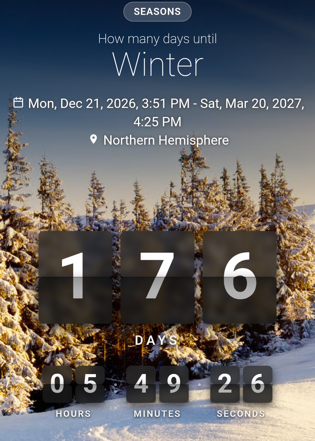
Keep your expectations in check for this winter. Expect the worst and hope for the best.
-
Bomb Heat Dome.
-
2024 was a pretty insane year in terms of heat around here: https://www.washingtonpost.com/weather/2024/12/30/washington-dc-warmest-year-climate/ First January 80F on record, Nov temp of 84F was the warmest on record so late in the year. The 100F temps, the most 80F+ lows on record (8). But still a pedestrian 48 90+ days. IT was just kind of wall-to-wall warm.
-
If sea breeze can kick in right at the beach it will save the day. If west or NW flow prevents it you will cook. Friday looks like the best day to cook. Local sea breeze could save the day on Thursday and / or Saturday.
-
I can’t believe I don’t remember this at all! Thanks for the reminder.
-
the stretch in July 2024 was one of the worst - 4 straight days of 101F+, which was a record. We'll see how this one stacks up.
-
we hit it six times back in 2024, with the hottest being 104. That was the first time since 2016 I believe. We hit 100 a couple weeks back as well.
-
I'm looking for a 105 in New Brunswick on Thursday or Friday.
-
Good. That just makes it "nearly unprecedented!" Seriously, I have seen that in media headlines. Any excuse to sneak the word "unprecedented." They love their buzzwords.
-
Agree with upper 90s overall maybe a spot 100° Thursday or Friday (not both) especially for the torch spots like WXW1 lol. We get close to 100° but never over. That said, the real story is heat indices. That’s going to be legit and long duration, and the HI where people live will be outrageous.
-
Only if they are low-carb will they get that warm.
-
-
At the end of the day, that’s all people remember. That was really hot. It’s kind of like arguing -10F, -15F, -20F etc. it’s all rather unpleasant for the public.
-

Junorch obs and discussion 2026
Damage In Tolland replied to Damage In Tolland's topic in New England
You keep wondering if someone will hit 110-111 -
I very much doubt the extreme highs currently forecasted will variety with the lack of antecedent drought conditions. But *IF* the duration actually ends up on par with what some of the models have hinted at, it would be the most extensive and lengthy heat wave for the sub since 2012. It's unlikely though, especially with the NAO trending negative (backdoor cold fronts). There's a reasonable chance things will break by the weekend...
-
Guess it can be done! Bring on 105F.
-

-
It hit 100 at DCA on 6/12. DCA ended its 5th longest streak of no 100 F on 6/22/24 (2867 days).
-
All true, but I only have about 0.15" to show for it all. Drove back from Silver Spring in steady rain almost all the way, then weakening in AACo. Oh well...about 0.60 for both days. Over 3" for June now.
-
I’ll stick with my upper 90s
-

E PA/NJ/DE Summer 2026 Obs/Discussion
The Iceman replied to PhiEaglesfan712's topic in Philadelphia Region
Thanks for the information Mike -

Central PA Summer 2026 Discussion/Obs Thread
canderson replied to Voyager's topic in Upstate New York/Pennsylvania
Went to State College for brunch to meet. Friend who was in town from Cleveland. It rained from about Midway all the way into SC. She said it had rained every day she was there. Must be nice. -
It's been a dark rainy day here. I got pretty wet this morning while working. It's been a lazy, rainy afternoon.
-
Down the shore this week. Water is still chilly. 64 today; sea breeze for the win.