All Activity
- Past hour
-
It may never snow here again.
-
 What a remainder of the work week to go. Gorgeous today. 84F
 -
 I'm really looking forward to this rain. Sorry vacationers. Less than .75" this month in my area. Bring it on!
 -

Central PA Summer 2026 Discussion/Obs Thread
Blizzard of 93 replied to Voyager's topic in Upstate New York/Pennsylvania
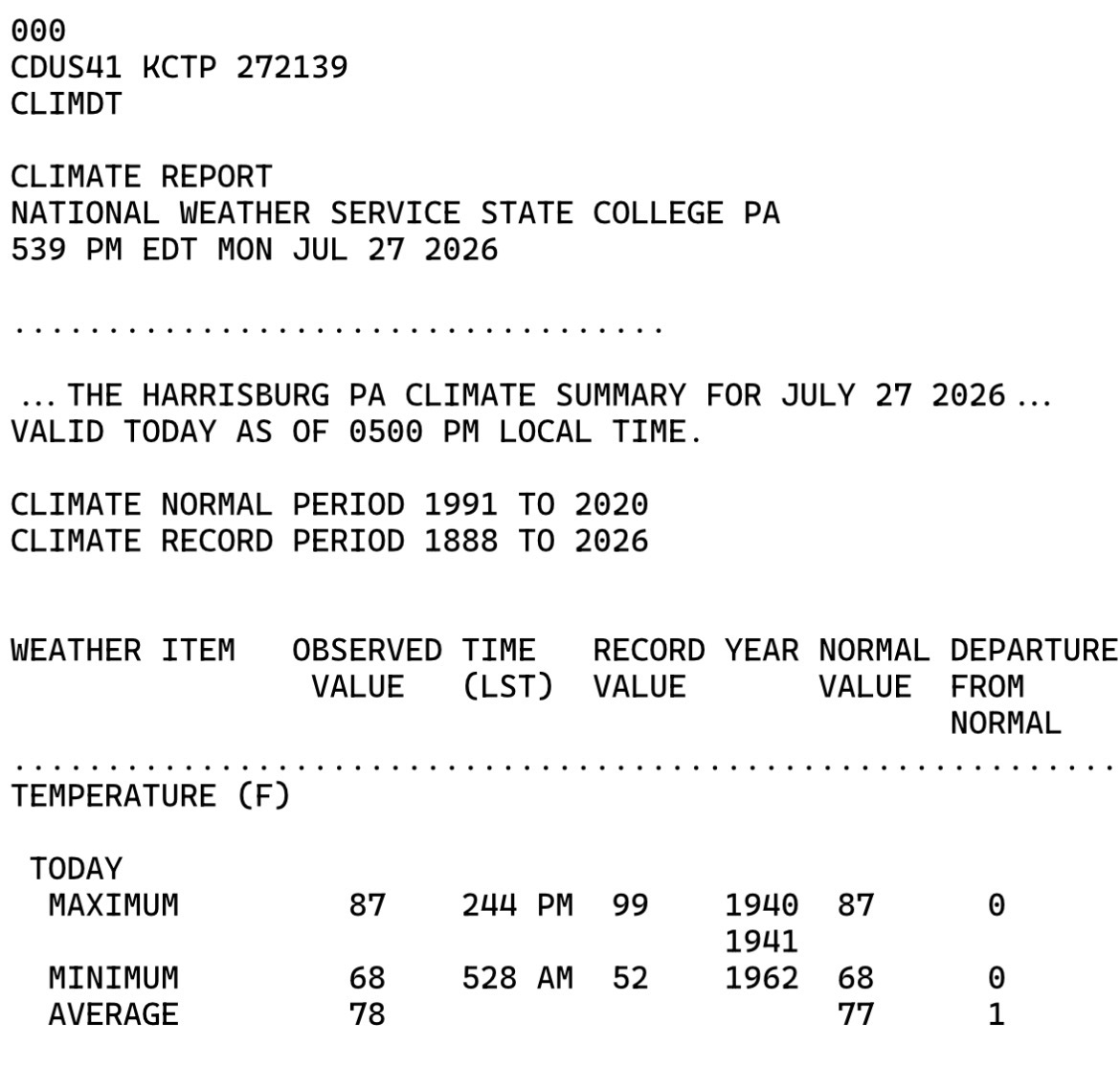
Someone, anyone… please tell me how today’s temperature departure at MDT will go in the books as +1 ? The high & low temperature were EXACTLY even with the averages for today… Unbelievable to say the least…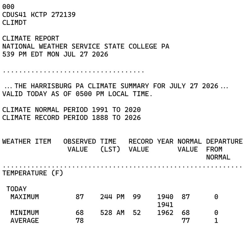
-
 All anyone has to do is scroll back over the last two days
 -
 Was going to post an AA meeting near you, but that shit ain’t funny. Apologies for even thinking of doing such a thing. Too everyone that’s had to deal with it, my bad!
 -
 Link?
Link? -
Bone dry here in the Bronx
-
My Christmas Radar Tree had blue - green - yellow and red lights blinking today - wide range of rain totals today - region wide - 0 to 3 mainly Plainfield NJ got the worst of the lightning strikes and or wind it appears PSE&G NJ Outage Map
-
The extended GEFS and more EPS are suggesting a pretty robust monsoon (wetter than normal) getting established early to mid-Aug and staying pretty active into the start of Sept on the EPS. What period is the heart of the Monsoon climowise?
-
Any updates? Family member going into surgery tomorrow, made me think of her.
-
You were posting maps and teen boy tweets you follow of a wild Noreaster , 5-10” of rain and even told Wiz he’d wash down the CT River. People were posting about everyone needing arcs to get around . Meanwhile those in the know recognized yesterday this was a wagons west event
-
Radar reminds me of blinking lights on a Christmas tree. Storms pops up and then disappear while new storms pop up and then they disappear. Rinse and repeat.
-
We're on a bit of a heater
-
A storm will bring rain and possible thunderstorms to the region during Tuesday and Wednesday. The potential exists for a general 2.00"-4.00" rainfall with locally higher amounts. Following the storm, Thursday and Friday will see a continuation of below normal readings. Temperatures could return to near seasonable levels for the weekend. The ENSO Region 1+2 anomaly was +3.8°C and the Region 3.4 anomaly was +2.2°C for the week centered around July 23. For the past six weeks, the ENSO Region 1+2 anomaly has averaged +3.38°C and the ENSO Region 3.4 anomaly has averaged +1.92°C. The ongoing strong El Niño will continue to strengthen through the summer. The SOI was -31.27 today. The preliminary Arctic Oscillation (AO) was +0.804 today. Based on sensitivity analysis applied to the latest guidance, there is an implied near 96% probability that New York City will have a cooler than normal July (1991-2020 normal). July will likely finish with a mean temperature near 76.3° (1.2° below normal). Supplemental Information: The projected mean would be 0.2° below the 1981-2010 normal monthly value.
-
And the storm over Middlesex-Union county is just shrinking and going away - next 2 days should be interesting...
-
Found it.
-
 What happens after that? No way there’s zero rain further east. Edit: Whoops, should’ve read the next few posts, ha. Folks have it covered.
 -
“It’s coming, this year.” Too lazy to actually find the post, sorry.
-
Intro to weeny posting on AMWX: Only one rule really… Only post models, maps, tweets, and/or links that fit your agenda! That’s it. Enjoy your stay.
-
Were you expecting a hurricane?
-
Chicago and Cedar Rapids sure seem to reel them in don't they? Made it to 97 here today with a peak dew of 82. MLI tagged 96 for the hottest temp of the year so far.
-
Have to watch outflow from that north cell, development could end up occurring into the city or north Queens over the next hour
-
New hobby, or you still looking into relocating?
-
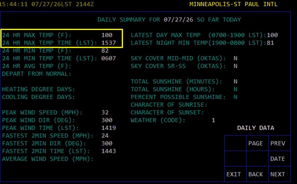
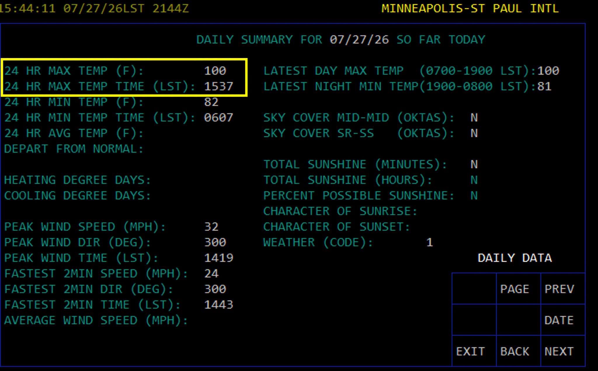
Triple digits in the Twin Cities! First 100 temp since 2022, every 4 years right on the climo norm