

WxWatcher007
-
Posts
35,735 -
Joined
-
Last visited
Content Type
Profiles
Blogs
Forums
American Weather
Media Demo
Store
Gallery
Everything posted by WxWatcher007
-
It’s rains to Maine either way
-

2023 Mid-Atlantic Severe Wx Thread (General Discussion)
WxWatcher007 replied to Kmlwx's topic in Mid Atlantic
That cell down near Fredericksburg looks nice. -
I think it’s too early to say anything about the long range steering pattern, other than OTS is almost always the betting favorite for CVs. I think the weakness in the subtropical ridge makes it more likely we see a recurve, but the persistent troughing in the eastern US is something to watch, particularly since we’ve seen a lot of cutoff lows that could serve as a capture mechanism. Either way, this is highly anomalous, even though we had Elsa recently.
-
2023 Atlantic Hurricane season
WxWatcher007 replied to Stormchaserchuck1's topic in Tropical Headquarters
This is about as good as it gets for early season MDR activity. It’s an intriguing environmental pattern over the next 5-10 days. -
This is a really interesting setup. Guidance getting more bullish as the wave tries to organize a bit today.
-
2023 Atlantic Hurricane season
WxWatcher007 replied to Stormchaserchuck1's topic in Tropical Headquarters
Most robust intensity guidance yet from the Euro. -
I almost think about the chases I missed as much as the ones I hit on. For every Florence there’s a Michael. For every Fiona there is an Ian. Honest to God, having a big in person event scheduled the day Ian made landfall may have been a contributing factor to me leaving my last job. Aren’t we at or near peak climo for severe around here? I’m not really feeling bullish about the back half of storm season given the crap this far.
-
Multiple tor warnings down there. Surprised you didn’t give it a go.
-
2023 Atlantic Hurricane season
WxWatcher007 replied to Stormchaserchuck1's topic in Tropical Headquarters
You'd think it were August with this look in the eastern MDR. -
Good luck
-
Pretty weenie GFS and Euro runs today. It’s fantasy range but you just don’t see a long track CV this time of year like the happy hour GFS, even on guidance.
-
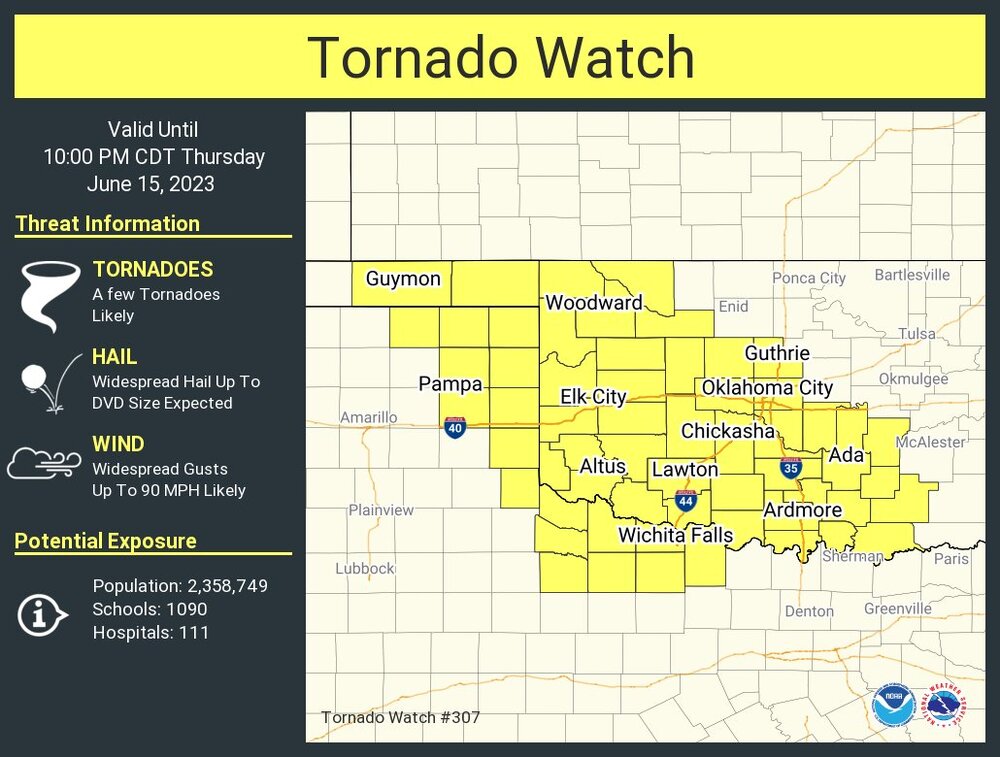
This is one hell of a tornado watch
-
Just a quick gif I put together. There used to be a fantastic resource that had daily TCHP/d26 daily plots going back decades. Until the gov made it password protected. This is recent OHC, the scale changes pre 2016.
-
A little harder to run a comparison, but they’re high end anomalous as well from what I’ve seen.
-
2023 Atlantic Hurricane season
WxWatcher007 replied to Stormchaserchuck1's topic in Tropical Headquarters
I mean, the Euro has some general vorticity sure, but it’s nowhere close on the operational or ensemble guidance to supporting a tropical cyclone IMO. That’s an island to me. I’m just not sure that there’s enough in the western Caribbean to spin something up. Could be wrong, but I just don’t see a conducive enough environment yet. -
12z Euro trended more robust with the wave leaving the African coast today. Pretty strong model consensus that the MDR is ripe for a TC next week.
-
This looks awesome. Not tropical but it looks like the low this weekend has trended a little stronger on the Euro. Messy weekend on tap.
-
2023 Atlantic Hurricane season
WxWatcher007 replied to Stormchaserchuck1's topic in Tropical Headquarters
I’m still deeply skeptical of anything coming out of the western Caribbean. GFS and its ensembles are on an island right now—doesn’t mean it can’t score a coup but it just seems TC genesis happy there, which is a known bias. -
Summer of bore continues as we spend this mid-June afternoon writing about PG rated tropical fantasies and what could have been in a winter that passed thirteen years ago. What a time to be alive.
-
It won’t happen but it raises an interesting question for me: what’s the earliest hurricane strike on record in NE?
-
Quite early. Operational guidance has gotten more aggressive with TC genesis in the MDR but the signal has been there for a while. Not sure about the environment in the western Atlantic in 7-10 days though allowing for something tangible to survive with a TUTT lurking. It’s historically warm across much of the basin. Just outrageous anomalies.
-
Lemon in the MDR now.
-
2023 Mid-Atlantic Severe Wx Thread (General Discussion)
WxWatcher007 replied to Kmlwx's topic in Mid Atlantic
This is a horrifying, yet hilarious, thought.- 2,785 replies
-
- 1
-

-
- severe
- thunderstorms
- (and 3 more)
-
Here’s a real storm Wild day down south.
-
Looks like my backyard


