

LongBeachSurfFreak
-
Posts
9,479 -
Joined
-
Last visited
Content Type
Profiles
Blogs
Forums
American Weather
Media Demo
Store
Gallery
Everything posted by LongBeachSurfFreak
-

June 2025 discussion-obs: Summerlike
LongBeachSurfFreak replied to wdrag's topic in New York City Metro
Ended up not seeing an abrose jet event yesterday. Just a typical afternoon sea breeze. Looks similar today, maybe slightly stronger. -
2025 Atlantic Hurricane Season
LongBeachSurfFreak replied to BarryStantonGBP's topic in Tropical Headquarters
Unfortunately Florida would be my favored area for another Major. It’s only a matter of time before we see another Andrew into south Florida. I would never favor the NE for a hit as it’s a low probability year over year but it’s the most “due”. Water temps in the home grown area for the north east are the most anomalous in the entire basin. A Bob or Carol track would almost certainly lead to a major hit for eastern New England. Something that hasn’t happened since 1938. Obviously no one will feel sorry if the Hamptons are destroyed. Having spent time out there, there are middle to lower income communities were workers live. And these people would be the most impacted.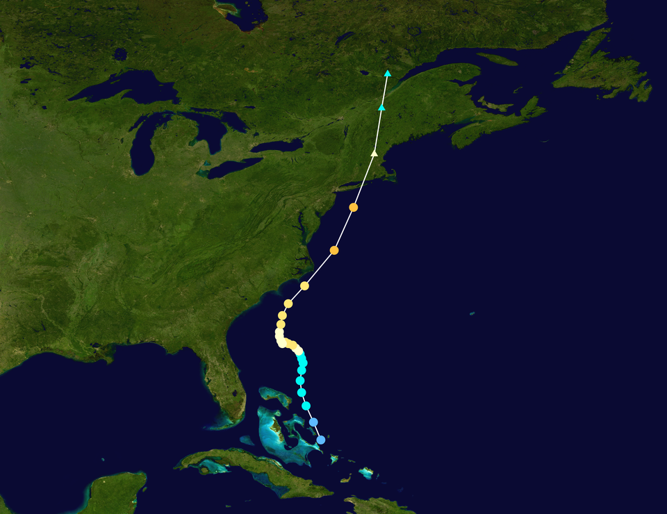
-
2025 Atlantic Hurricane Season
LongBeachSurfFreak replied to BarryStantonGBP's topic in Tropical Headquarters
If anything delayed formation favors a home grown season. Further west of the MDR box water temps and OHC are still significantly above normal. While overall ace and named storm numbers may end up below hyperactive, an impactful season still looks likely. A rapidly intensifying storm on approach has much more damage potential then a decaying former MDR major. -
June 2025 discussion-obs: Summerlike
LongBeachSurfFreak replied to wdrag's topic in New York City Metro
Nice shot. I just missed the sunset walking out of the gym. As cool as the apocalyptic smoke from 2 years ago was cool i would hard pass on a repeat. -
June 2025 discussion-obs: Summerlike
LongBeachSurfFreak replied to wdrag's topic in New York City Metro
Nope. Need a Carington level event to get through the light pollution. -
June 2025 discussion-obs: Summerlike
LongBeachSurfFreak replied to wdrag's topic in New York City Metro
Yeah 40 mph gusts are common on the beach front with the Ambrose jet. The strongest events I have witnessed in 26 years of ocean life gaurding is probably close to 60mph. I have a hand held anemometer so I’ll take some readings this week. -
June 2025 discussion-obs: Summerlike
LongBeachSurfFreak replied to wdrag's topic in New York City Metro
Abrose jet should really crank this week. Water temps are relatively low in the mid to upper 50s. Creating a stronger then usual temperature and pressure gradient from water to land. The ultimate seabreeze. People thinking this is the first beach weather week are going to be treated to a sand storm and a fridged afternoon wind. -
June 2025 discussion-obs: Summerlike
LongBeachSurfFreak replied to wdrag's topic in New York City Metro
Pretty meh right now. Maybe a second wave 10-12. -
The year of the incessant West wind continues. Easily had some 40mph gusts on the beach yesterday. Full on sand storm. People would walk down towards the water and quickly turn around after a couple minutes of sand blasting.
-
Yeah that’s a big part of it. From my memory that storm was bombing out as it passed overhead. Likely very strong dynamics were able overcome drying.
-
Absolutely wrap around. The front end of the storm was all rain.
-
Christmas Day 2001. 9” in 5 hours, all wrap around.
-
Even more so out on the island. It’s getting to that time of year though. Really was just a warm frontal passage. Wrap around should mostly dry out before pivoting through
-
Around an inch.
-
Nice moisture slug down in south Jersey. Trajectory looks to be eastern Li.
-
You can see the micro burst in the rear velocity in the tweet rjay posted. A ef0 tornado would have produced notable damage, like trees twisted at the tops and falling in different directions. Since I saw the damage in Babylon that evening in my gfs old neighborhood I can verify it was straight line winds. All trees were facing the same direction and mainly uprooted and not sheared. Can’t wait for our severe season July/August. This never ending late march early April pattern has got to go.
-
That was Isias. He is talking about a specific thunderstorm with a big micro burst that traveled close to the southern state from about the Nassua Suffolk border out into western Suffolk. I saw the damage right after as my gf was living in Babylon at the time.
-
I figured there had to be some kind of damage. 78mph straight line winds around here would make a big mess.The last time we had anything close to that (from thunderstorms) region wide was the 98 Labor Day derecho.
-
Does that do damage around there? Like uprooted trees, or is everything so resilient from severe all the time that it’s no big deal?
-
I spent 10 years driving that shit road daily to Columbia. Took years off my life. So happy to have moved on!
-
When I think of that thermometer, I think of a deep forest in lord of the rings New Zealand. Meanwhile 100 yards east it’s 10 degrees warmer on 5th avenue.
-
Unfortunately there are only 3 dominant tree species in the Candian Tiaga. Balsim fir, Black Spruce and Larch. They are dominant because the can handle the extreme temperatures. They are all highly flamable. Until temperatures rise significantly (5c) that isn’t going to change. My theory is that the beginning of substantial climate change is acting to dry the forests out. Normally they would remain rather wet and cool in the summer.
-
I would love to see some data on the amount of forest fires in the Canadian Tiaga forests historically. That area is basically uninhabitable so if fires are significantly increasing is size and frequency it’s a good climate change marker. I would think they have, so to the over the top patterns we have seen. And of course the smoke events here the last few years.
-
That’s not correct. Downsloping winds are compressional, heating and drying the air. So an offshore flow in this area, given high enough 850 temps is capable of 90 degree temps no matter how high the soil moisture content is.
-
Nice, figured the lighting would be amazing. Radar looked like best winds were south. I got to experience a real super cell in Dallas back in the day, absolutely other level compared to storms in NY!


