LongBeachSurfFreak
-
Posts
9,479 -
Joined
-
Last visited
Content Type
Profiles
Blogs
Forums
American Weather
Media Demo
Store
Gallery
Everything posted by LongBeachSurfFreak
-
Supprised not to see 2013 on the list. Must have been a cheap mid night high.
-
Timing is impeccable. I start life guarding at jones beach Friday. Should make for a very interesting air show!
-
That gust front had some better winds some severe warned storms we have had in the past, not that, thats saying much…
-
Yeah that was as of yesterday. Honestly I have been closely monitoring the SLF and while numbers exploded the second year they have leveled off. They are definitely a threat to vineyards but I’m not convinced they are the plague they were originally thought to be. Gypsy, emerald ash borrer beetle, Asian longhorn beetle and southern pine bark beetle all are far greater threats in my opinion.
-
That’s why Dixie ally has always been especially dangerous. Suns out and temps skyrocketing. Increasing cape, but is there even a mechanism?
-
They are all over Suffolk along the LIE. Many Oaks defoliated. They destroyed the last large remaining old growth coastal oak forest on the east coast in the late 70s on Gardiners Island. I would have done anything to see 600 year old white oaks. The island is pretty much off limits now anyway.
-
Not a drop has reached the ground today in Lynbrook despite the radar showing showers.
-
I do not remember hail with that storm. But I remember every second of the downburst like it was yesterday. I had a friend visiting from Jersey and he was freaking out. It was dark as night with torrents of sideways rain hitting the house. There is something about the smell of the air from all the crushed leaves that’s unforgettable after the storm. I’m trying to think if we have ever had a severe storm before Memorial Day on the island. I know we had hail in the April mid 90s NE severe outbreak. The stabilizing effect of the ocean is just too powerful the majority of the time in the spring. Which is exactly what has happened with this current event.
-
I absolutely love severe thunderstorms. My favorite weather memory as a kid was the July mid 90s severe storm that tracked across the south shore. I cannot remember the exact date but the cover of news day the next day (I had it hanging in my room for years) said 5pm blackout. The gust front at the onset sent huge branches flying out of the backyard trees into the front yard. Estimated winds about 70mph. The trees still showed damage for many years after. The 98 derecho was another epic storm. And we will be lucky to hear a rumble or two today.
-
Pretty amazing how consistently all the storms the last two days are either North or South. Just enough stabilizing marine layer to kill our storm chances.
-
YES! My gf was living there at the time. The tree damage was pretty incredible. Lots of mature trees snapped like 20’ up. The kind of damage that only happens with 80+mph straight line winds. I wish I was there for the storm. I saw it that evening.
-
I forgot how much this area sucks for severe. Having lived in Baltimore County and witnessed the same super cell that produced the college park tornado, that area is underrated for severe. In the 4 years I was there for college I saw at least 3 varifiable severe storms. Maybe 3 in 35+ years on the island.
-
Yeah they are invasive Mute swans. What’s cool is the giant great blue heron that lives in the north lake! Glad the rain disappeared before the island, we need to dry out a bit.
-
Really? You don’t know about Valley Stream and Hempstead Lake state parks? Hempstead Lake is a really great park with amazing trails and some gorgeous climax forests (not old growth but last logged in the 1800s when it became a reservoir for the Brooklyn water works) highly recommend that park to anyone on the island
-
I think tomorrow could be a legit severe day for our area. The parent low is enormously deep for this time of year.
-
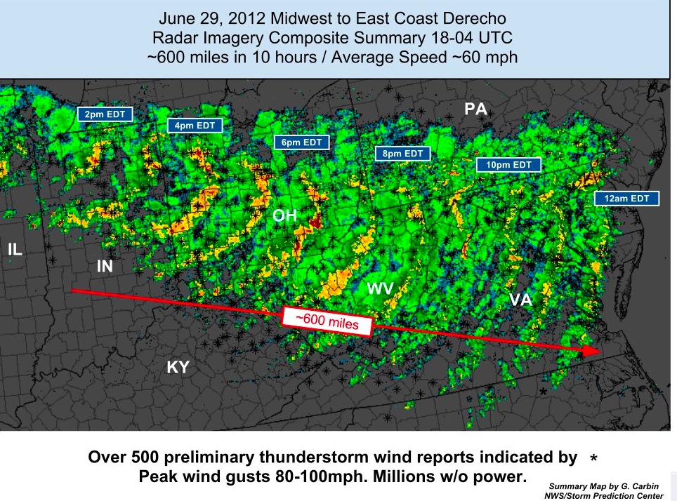
Yeah models missed that. We’ll see if it actually verifys as a derecho. Definitely did over Michigan last night but you need severe winds over 250 miles and allot of it was over the lakes. Just a sub severe MCS now, but it’s that same complex of storms. Should at least see a decent light show.
-
That would be a HEC in February. Timing is cutting it close with MDW. We definitely do not want that slowing down.
-
Serial derecho heading into western New York now. Started yesterday in Wisconsin and crossed multiple Great Lakes. These monsters often create their own atmospheric conditions and can last much longer then modeled. Not saying it makes it here, but something to watch.
-
I could see a derecho coming out of the Ohio Valley. Most likely follow a similar path to June 12. So south Jersey special.
-
Yeah here too. Current dew point at JFK is 64 and yesterday it was 63 at the same time.
-
Very similar to why south Florida doesn’t see the type of 100 degree heat you see in Texas. We are years from seeing a Florida climate here but the halmarks are starting.
-
Another convective blob firing up off the Jersey shore and inbound to the island. Talk about a stuck pattern.
-
Ok we are getting way off topic here. But Hokkaido gets the majority of its snow from ocean effect snow. As cold air from Siberia travels over the Sea of Japan. It’s like lake effect on steroids. Their synoptic snows aren’t much greater then say Maine.