

yoda
-
Posts
63,575 -
Joined
Content Type
Profiles
Blogs
Forums
American Weather
Media Demo
Store
Gallery
Everything posted by yoda
-
Snowing at 03z Sunday (10pm SAT) on 18z NAM at DCA
-
Para GFS was pretty cold too... 31 I believe at DCA during the snow
-
I don't think this will go way north and miss us completely
-

Feb Long Range Discussion (Day 3 and beyond) - MERGED
yoda replied to WinterWxLuvr's topic in Mid Atlantic
Just a tad chilly Sunday morning on V-DAY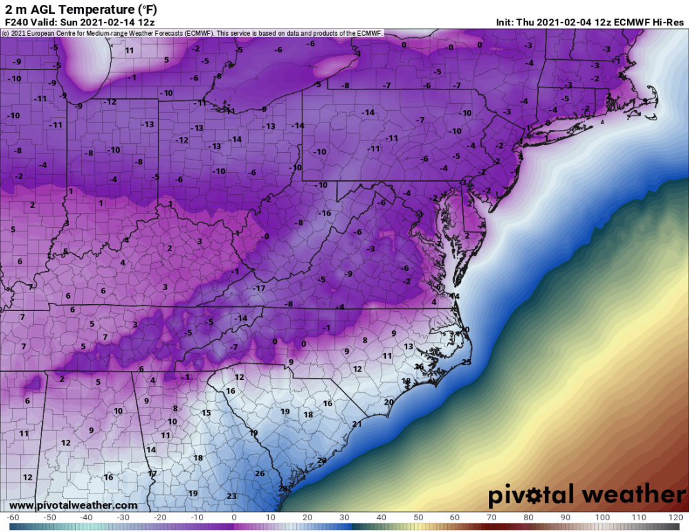
-
Feb Long Range Discussion (Day 3 and beyond) - MERGED
yoda replied to WinterWxLuvr's topic in Mid Atlantic
12z EURO says hope you like highs of mid 20s on Friday and then 15-20 next Saturday -
Feb Long Range Discussion (Day 3 and beyond) - MERGED
yoda replied to WinterWxLuvr's topic in Mid Atlantic
12z EURO bringing in the arctic hounds at 192 -
That is a large shift NW
-
EPS should be fun to look at... hopefully
-
So... @stormtracker start the bus for Sunday
-
Feb Long Range Discussion (Day 3 and beyond) - MERGED
yoda replied to WinterWxLuvr's topic in Mid Atlantic
EPS should be fun -
Feb Long Range Discussion (Day 3 and beyond) - MERGED
yoda replied to WinterWxLuvr's topic in Mid Atlantic
True, but nighttime start could help... weenie rule -
Feb Long Range Discussion (Day 3 and beyond) - MERGED
yoda replied to WinterWxLuvr's topic in Mid Atlantic
Holding you to this lol -
Feb Long Range Discussion (Day 3 and beyond) - MERGED
yoda replied to WinterWxLuvr's topic in Mid Atlantic
Much better defined s/w at 54 on 12z EURO IMO in KS/OK -
Feb Long Range Discussion (Day 3 and beyond) - MERGED
yoda replied to WinterWxLuvr's topic in Mid Atlantic
lol 12z NAVGEM -
Feb Long Range Discussion (Day 3 and beyond) - MERGED
yoda replied to WinterWxLuvr's topic in Mid Atlantic
That was the one we willed north to hit us even though the February 5th event was like a week away -
Feb Long Range Discussion (Day 3 and beyond) - MERGED
yoda replied to WinterWxLuvr's topic in Mid Atlantic
Rather large move NW by the 12z UKIE as well... doesn't get much precip into the LWX CWA... but the trend is clear -
You should create the storm thread for it *ducks*
-
I'll be fine if you get 10 and I get 6...
-
Feb Long Range Discussion (Day 3 and beyond) - MERGED
yoda replied to WinterWxLuvr's topic in Mid Atlantic
12z CMC says no though... will be the model Ji perseverates on -
Feb Long Range Discussion (Day 3 and beyond) - MERGED
yoda replied to WinterWxLuvr's topic in Mid Atlantic
-
Feb Long Range Discussion (Day 3 and beyond) - MERGED
yoda replied to WinterWxLuvr's topic in Mid Atlantic
I'll take the 12z Para GFS for 200 please Alex... another NW tick from 06z with the wintry precip -
Feb Long Range Discussion (Day 3 and beyond) - MERGED
yoda replied to WinterWxLuvr's topic in Mid Atlantic
A few more bumps NW... not all the way where you get jacked again lol -
Feb Long Range Discussion (Day 3 and beyond) - MERGED
yoda replied to WinterWxLuvr's topic in Mid Atlantic
FWIW, 06z ICON has 2-4 inches just west of i95 corridor and N and W for the rest of the region Previous run at 00z had nothing -
Feb Long Range Discussion (Day 3 and beyond) - MERGED
yoda replied to WinterWxLuvr's topic in Mid Atlantic
-
Feb Long Range Discussion (Day 3 and beyond) - MERGED
yoda replied to WinterWxLuvr's topic in Mid Atlantic
Well now I kinda see why looking at the individ members... P013 or P016 please lol


