-
Posts
18,121 -
Joined
-
Last visited
Content Type
Profiles
Blogs
Forums
American Weather
Media Demo
Store
Gallery
Everything posted by michsnowfreak
-
Dude, you went bat shit crazy MELTDOWN because it was pointed out, in jest, that you didnt barge into our subforum to post the stats of the record cold week most of the middle of the country saw Jan 14-20th (or as you refer to the coldest 3rd week of Jan on record, "run of the mill" winter weather). You get so hurt when someone points out ANY cold or snow stat and start crying they dont believe climate change is real. Seriously, what is wrong with you? And how the HELL is DTW not representative of what residents of southeast Michigan experienced last winter? I dont believe for one second youve ever been here or "all over". If youve ever been, especially recently, youd notice what a huge difference there often is between Detroit and Toledo. SE MI is not in the snow belt, so obviously theres more snow in west MI. But more snow to the south? You MUST be joking. SE MI hasnt been in a snow-hole in years (1995-96 the last time I recall). We had multiple good storms last winter that Toledo & of course Pittburgh missed. Youre right though (for the wrong reason)...I guess DTWs snowfall isnt representative of what most in SE MI saw in 2022-23: Flint- 46.5"...Saginaw- 46.7"...Ann Arbor 51.6"...DTX NWS 44.7"...DTW 37.1". Im thinking when DTW had blindingly heavy snow, 6.5", on Jan 25th you missed it since PIT was 45F with snow turning to rain. Maybe you also missed when DTW got 6.2", blizzard conditions, thunder & lightning Mar 3 (when the northern burbs got 10"+) since PIT was 45F and rain. Must have also missed Mar 3 when our beautiful 5.2" was a 42F-rain in PIT.
-
Beat me to it Don. The 7-day period Jan 14-20 was one of the coldest on record for most of the middle third of the country, which is why I said midwest (and southern Canada). The east coast missed the brunt of the cold.
-
Minneapolis is absolutely in a mega snow-hole this winter. But Minneapolis didnt "miss out on last year's disaster". Detroit "missed out on last year's disaster" with 37.1", only a bit below avg. Minneapolis had a downright fantastic winter, their 3rd snowiest on record and 7th most snowcover days. Minneapolis has not had a below avg snow season since 2016-17.
-
You arent the only one who can visit xmacis. Pittsburgh winters WITHOUT a below-zero temperature, by decade. 2010s- 3 2000s- 5 1990s- 2 1980s- 2 1970s- 2 1960s- 0 1950s- 5 1940s- 4 1930s- 7 1920s- 6 1910s- 3 1900s- 4 1890s- 5 1880s- 4
-
Note to self. Next time a record cold or snowy streak occurs, DO NOT mention this. He will go off the rails.
-
And there it is . So predictable . Discussion of any cold weather anomolies = saying climate change isnt happening. Oh, and showing a snow deficit in a snowbelt is a fascinating example of climate change. Im sure everyone in Erie wishes they could go way back to the pre-historic age of 2017-2018, when Erie set the seasonal record for snowfall of 166.3" and climate change wasnt happening.
-
LMAO. First of all I didnt say it, I just agreed with @Brian D. But I see his point. You are the one who always pops in only to show an xmacis rundown of random cities not near you on how a completely random 5-day period from the 17th-21st of a month was the X-warmest on record or something. But suddenly its about what happened in Pittsburgh when they clearly missed the brunt of the cold snap that just hit. But crickets when almost the entire middle third of the country just saw their top 1-3rd coldest January 14-20th on record. Oh, thats right. The coldest Jan 14-21 on record is "run of the mill".
-
Not necessarily. Look how quickly it was flipped from December to January in southern canada, the midwest/lakes.
-
February 1998 was one of the warmest February's on record. A few other strong Nino February's also were mild, although none close to 1998. With an expected flip by mid month to much colder weather it's way too premature to say this has never been seen in a strong nino before. Although this winter has been dominated by mild weather (as you would expect in a strong nino), the past 10 days to 2 weeks is as severe a deep winter stretch as you will ever see during a strong Nino in the Midwest and Great Lakes. Things don't always follow script. So buckle up for your late Feb noreaster
-

Winter '23-'24 Piss and Moan/Banter Thread
michsnowfreak replied to IWXwx's topic in Lakes/Ohio Valley
Great analysis. The childish mentality is one thing but it really probably goes deeper than that. It's the equivalent of asking your crush on a date, being rejected, then pulling out your Mr. Roger's trunk of hats, mustaches, and other thinly veiled disguises and continuing to pursue your lost cause half-assedly disguised as someone else, even though your true identity is apparent. Seems odd for an adult to be so obsessed with being a childlike burden, but we are all best off to ignore. -

Winter 2023/24 Medium/Long Range Discussion
michsnowfreak replied to Chicago Storm's topic in Lakes/Ohio Valley
Looks about right. First week of Feb is gonna suck, but I'm all for another repeat of the last few weeks lol. -

January 22-23 Potential Ice Event
michsnowfreak replied to HillsdaleMIWeather's topic in Lakes/Ohio Valley
Didn't get that icicle look from freezing rain, as it was 32-33 all night, but the ground was cold enough that pavements were slick. -
I thought the same thing lol
-

Winter 2023/24 Medium/Long Range Discussion
michsnowfreak replied to Chicago Storm's topic in Lakes/Ohio Valley
That's good. At least there's plenty of ice on the many lakes around you to enjoy! -

Winter 2023/24 Medium/Long Range Discussion
michsnowfreak replied to Chicago Storm's topic in Lakes/Ohio Valley
This has been a VERY solid stretch of deep winter for a strong nino! -

Winter 2023/24 Medium/Long Range Discussion
michsnowfreak replied to Chicago Storm's topic in Lakes/Ohio Valley
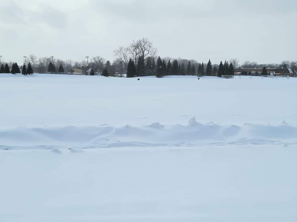
It's funny how things even out. After a parade of snowstorms and a top 5 snowy winter last year, South Central Minnesota is in a snow hole this year. -
Omg that first pic!
-

Winter 2023/24 Medium/Long Range Discussion
michsnowfreak replied to Chicago Storm's topic in Lakes/Ohio Valley
I wonder if his palms enjoyed the below zero temps and -30° wind chills or the thick blanket of snow more? -
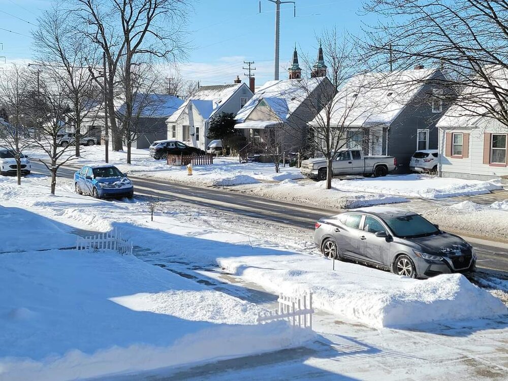
Went on a winter walk before today's Lions game. I could honestly handle the frigid air all winter long.
-

Did Someone Say Clipper(Hybrid)!?! 1/18-1/19
michsnowfreak replied to Frog Town's topic in Lakes/Ohio Valley
Bo knows me lol. I did not pay much attention to that band as we had back to back days with snow here (2.8 + 2.3) plus I worked. I knew the models were cranking out a lot of Lake effect. But I did not pay attention to the results. was wondering how widespread those 30-inch plus totals were. -
Neighbor builds a backyard ice rink every winter. Some winters are better skating than others obviously, but they had a skating party last night.
-
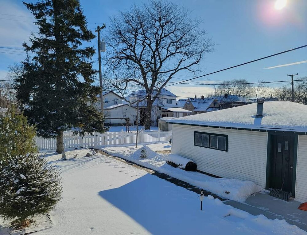
Deep winter morning today. DTW hit 2°, but once again below zero in spots (DTWs low this month is -3°). Love the crisp, cold air and fresh snow. Even had a frost design on my window.
-

Did Someone Say Clipper(Hybrid)!?! 1/18-1/19
michsnowfreak replied to Frog Town's topic in Lakes/Ohio Valley
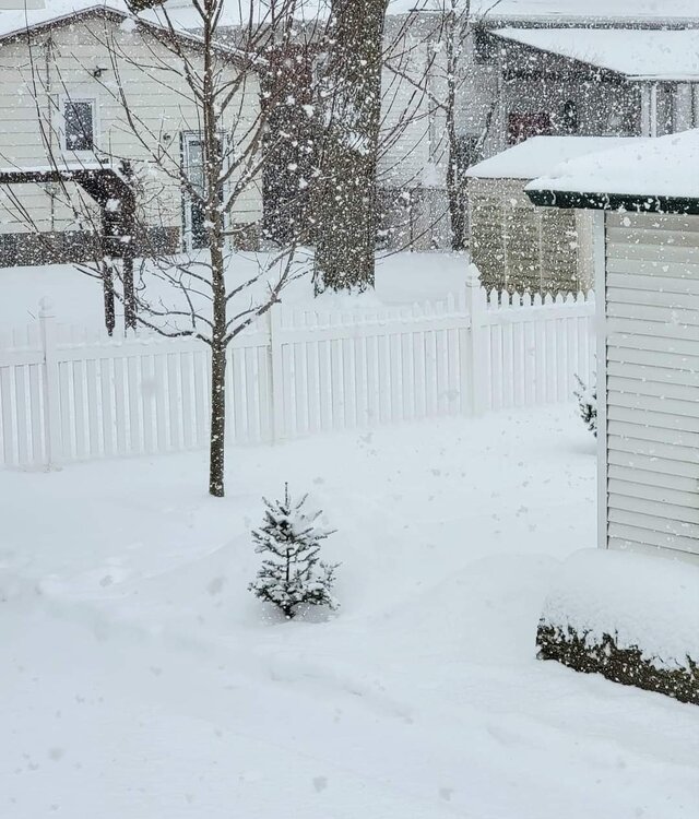
It was mostly sugary, small-flake synoptic snow, but then at the end we got Lake Huron enhancement (photo with the big flakes). Yesterday's snow was 2.3" with 0.13" liquid. -

Did Someone Say Clipper(Hybrid)!?! 1/18-1/19
michsnowfreak replied to Frog Town's topic in Lakes/Ohio Valley
Incredible! How isolated was it? -

Did Someone Say Clipper(Hybrid)!?! 1/18-1/19
michsnowfreak replied to Frog Town's topic in Lakes/Ohio Valley
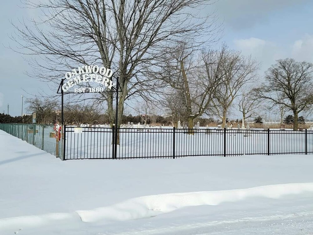
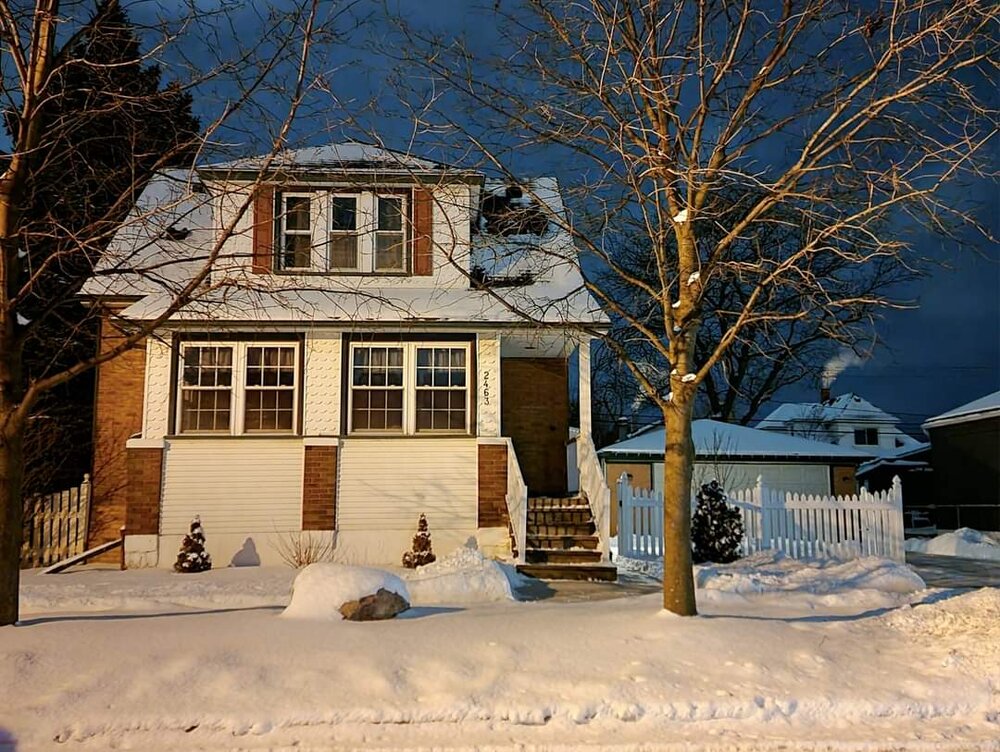
Got another 2.3" yesterday. Have now seen 14.0" in January. Really enjoying this stretch of deep winter, since I know they don't last in strong ninos. So pretty outside!


