nrgjeff
-
Posts
4,200 -
Joined
-
Last visited
Content Type
Profiles
Blogs
Forums
American Weather
Media Demo
Store
Gallery
Everything posted by nrgjeff
-
Love the MRX write-up. Includes interviews with both MRX and SPC Mets about what was going through their minds forecasting it. Wow! Alabama has a good page too, a joint effort from HSV and BMX. https://04272011-noaa.hub.arcgis.com/ includes video Memoriam for those lost.
-
That SREF is a lot more interesting than I expected. Thought the NAM and HRRR are overdone, and they may be. ARWs show potential, but messy, which seems most reasonable. SREF apparently sides with the more bullish suite. Meteorological target: Talladega National Forest. Yeah I'll stay home and arm chair that terrain!
-
I'll go warmer than normal. Oh wait normals change. Resurgent La Nina. Blowtorch!
-
ECMWF is somewhat on board too. Possible the trough is filling and lifting north at the time, leaving only modest kinematics over the South. We will have instability, but will we have the dynamics? Naturally I wish I was in the Plains for these next 2-3 systems. Soon. Very soon.
-
Maybe we can tee up some severe late this week or the weekend (Fri-Sun Apr. 23-25) timing is way up in the air. GFS goes from not finding the system, to sending through two chunks of energy. Some debacles never change. Euro and its Parallel (new Euro on-deck soon) are consistent on severe somewhere in the South; however, tracks are all over the place. Mid South, Deep South, Gulf Coast only, poor timing for Tennessee Valley, ideal timing for Tenn. For those who get anxious, this is still just the jawboning stage. One thing about late April is the Deep South is not so sloppy. Proper timing on a weekend and I go!
-
GFS 11-15 day does have a low-amplitude trough come through the South, which is a favored pattern in late April. Huge full-latitude troughs are always over-rated. Particularly by late April, low amplitude can be high impact. I know some members are not fond of severe wx. That far out we're just jawboning. Don't worry about it. Just something for enthusiasts to track. Also regarding Plateau LCL and CIN @PowellVolz those are right and probably as important as the low level wind speed.
-
Thursday was an example of Upper Cumberland Plateau yet again. @John1122 very glad you are safe! Did you take that picture? The Great Plains feel! I was unable to get out on Thursday; but, I was wondering if that Upper Plateau effect would spin up something. I would have tried harder to get out if I knew it'd be like that. Seems the elevation improves low level inflow to storms. Plateau is up in the stronger southerly wind those days. I don't see as much of the effect on the Lower Plateau. Perhaps the Upper Plateau is more continuous. Lower Plateau is interrupted by the Sequatchie Valley. NWS has studied the Plateau and found no statistically significant anomaly. I agree overall. Action is usually south and west. However on Marginal days I feel like the Plateau over-performs. Elevation may allow an otherwise meh day to produce up there.
-
If we don't get a +TNI we get resurgent La Nina. Sounds like it's either bullish severe, or bullish severe. Trend sure is active both Plains and South.
-
Yes the HRRR started keying in on that at the 15Z run. Appears that a north-south line of convergence ran from Corinth, Miss into Tenn. Intersected with outflow boundary. When the HRRR at 15Z matched my conceptual model (March 27 thread) I immediately departed. Had packed car. Memphis buddies met me in Corinth. Then we gave chase. Also in the March 27 thread.
-
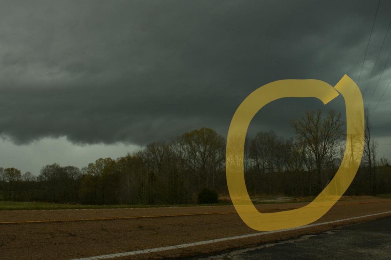
Love the video @*Flash* and the music too. You never said you chase, woo-hoo! That's the cell we gave up on in the awful terrain near the Tennessee River east of Lexington, Tenn. Here's a shot from a little church just south of the intersections of Hwy 100 and Hwy 22 in Henderson County. South of Lexington. Yellow is possible low contrast reflection. Inflow tail is great but nothing clear besides rain otherwise. Photo by Preston Bradley.

-
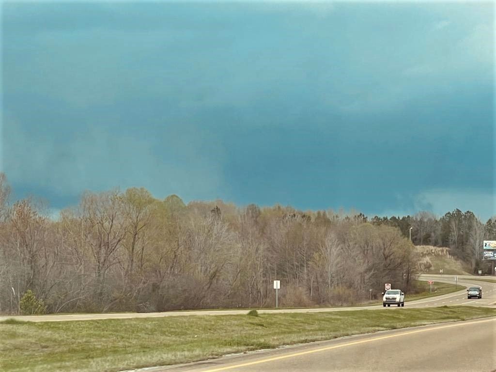
Followed the Middlefork to just southwest of Lexington tornado, Henderson Co. Tenn. Photo by Preston Bradley. Dr. Dorian Burnette also chased. Unfortunately our view was blocked by trees. This is from just east of Henderson on Hwy 100, looking toward Middlefork a few miles away (which is on little hwy 22). Tornado tracked to big Hwy 22 south of Lexington. Met two Memphis friends and meteorologists in Corinth, Miss. Boundary was trying to percolate there, and eventually lifted into Tenn. We went north on US-45 to Henderston, Tenn. Then we turned east on Hwy 100 which is oriented nicely for an ENE moving supercell. However the trees were just brutal until Hwy 22. Decision point. We could aggressively push north; but, it would be a short show then RFD. Other chasers did get ahead of it and documented the rain wrapped tornado. One side was visible enough to confirm southwest of Lexington, Tenn. Maybe we enjoyed our Arby's for too long in Corinth, lol! We went south on Hwy 22 instead. My thought was a right mover would eventually cross Hwy 100. Never did so we should have chased it longer. However one never knows for sure in the field; and, we will always put safety first. On the way south on Hwy 22 we noticed the Liberty cell had a beautiful base. However everything was over just retched terrain, so we did not give chase. Dropped into Florence, AL to fuel up and part ways. Fortunately the MEM fiends did not kill me for talking them out of the Delta, haha. I had implored the Miss/Bama convergence zone. I enjoyed lightning on the way home to Chatty. Perfect forecast, well-executed chase, even a good road, but no tornado. Despite low-level tree challenge, visibility was actually good for mid-level structure and features. Plus it was good to get out, see friends, feel the wind, and marvel at the sky.

-
Storm chase target: Corinth, Miss to the Shoals, Bama with options to hold Huntsville or push Memphis. Outflow favored over rainy warm front Tenn. Question is whether that climo favored convergence zone develops MS/AL border like with more organized systems. This really reminds me more of late season Plains outflow, with a subtle short-wave upstairs and fluctuating LLJ. Less hype ENH, oh yeah! Hodos are excellent low and long high. That's splits, like the 5am special Chattanooga. Right movers make easy chase decisions. Delta is sweet flat clear terrain; however, my luck there is about like KU vs USC. Memphis chase partners want me to go there. Will try Miss/Bama first per Dixie climo. Last post of the day. Everyone stay safe!
-
From the outflow boundary south is pretty much high risk material. SPC rightly holds off because overnight and morning trends are required to discern location. Outflow will start Corinth, MS to say Cullman, AL. Approximate I just reference bigger towns. Outflow OFB should lift toward Tennessee, but might not quite get here. Instability will be greatest south of the OFB, with just right EML 800-700 mb temps, promoting discrete cells. Also more WSW wind at 500/200 creates additional turning with height. Warm front is another question precluding high risk Day 2. It's forecast to lift through Tennessee, perhaps well into Kentucky. Zone south of the warm front WF and north of the OFB is the biggest question mark. Do we blob fest like last week? Blobs prevent intense severe weather. NAM has blobs. Do we destabilize as the crazy HRRR forecasts and go supercells? Perhaps something in between like the 12Z ARWs have. One of each ARW version is closer to the NAM and HRRR respectively. Said in between area has SW winds 500/200 mb which is robust, but not WSW nuts. I'm not feeling high risk Tenn. Moderate is enough though. CAVEAT for West and Middle Tennessee. Reaching maximum destabilization (if realized) would tap into incredible surface and deep helicity. So we have questions on placement and size of any potential high risk area. Well I always have questions and like to fade things. Getting more difficult to do so Thursday.
- 164 replies
-
- 1
-

-
- tennesse
- mississippi
- (and 6 more)
-
A broad trough in the south-central US (not the Southeast) with vigorous wave ejecting our way is exactly the comparison case to high end events in the South. We have discussed such a weather pattern in other threads. Key is that 200/500 winds are WSW vs SSW which happens with sloppy teardrops. LLJ then responds to short-wave, maximizing both speed and directional wind shear. Apparently the SPC has faith in the entire warm sector destabilizing between the outflow (MS/AL early) and warm front (Tenn maybe KY). Multiple boundaries are available to enhance low level shear. If morning rain abates somewhat by midday, maximum afternoon destabilization will be realized. In addition to the WF and OFB west-east boundaries, two north-south troughs are forecast. One comes out of Arkansas with the Pac front. Other develops in Mississippi and/or Alabama (maybe up into Tenn) which is common South Climo.
- 164 replies
-
- 7
-
-

-
- tennesse
- mississippi
- (and 6 more)
-
Thursday will be a regional severe wx outbreak. @CheeselandSkies I think SPC was waiting for American guidance to come toward the ECMWF. It was stubbornly slow this time. Regardless of how we got here, we are at hatched ENH Day 3 now. First thing I noticed with 12Z guidance is that 500/200 mb winds are forecast WSW. Some of the sloppy South days those winds are SSW. From the SW is plenty of turning. From the WSW as forecast offers robust turning with height. No strange 700 mb winds, smooth forecast hodographs. LLJ is still forecast S or SSW, correct for South severe, even on the squirrelly GFS runs. Winds of course strengthen with height too. Warm sector looks a little bigger than last week defined by northward extent of the synoptic warm front. That does not necessarily mean intense severe weather farther north. That'll depend on the outflow boundary situated south of the warm front, and influenced by midday rain. Undisturbed warm sector soundings should have a little EML and lots of instability. Background pattern is there for a severe weather outbreak. Mesoscale details remain up in the air as usual Day 3, including the size of the region impacted.
- 164 replies
-
- 8
-
-
-
- tennesse
- mississippi
- (and 6 more)
-
Models are consolidated quite a bit today. Ensemble spread is lower. Operational models zig zag less run to run. Looks like a robust warm sector with strong wind fields. Mesoscale details still TBD. Expect a Day 4 outlook Monday morning - valid for Thursday.
-

Fall/Winter Banter - Football, Basketball, Snowball?
nrgjeff replied to John1122's topic in Tennessee Valley
^THIS TBH^ Radar is slick when nothing is going on. Streets are underlaid and all dual pole products are there. Any weather bogs down the system though. LOL it ain't vendors pinging nws servers. Casual users can't get a page to download. In other bitter met face news, Wichita State choked away the game at the end. If any of our teams (everyone on this forum) choke like that we'll have cows. I forgot to change my bracket so hopefully Drake beats USC, lol! On the bright side it eliminates the personal conflict of a Wichita State vs Kansas game. Good luck to everyone here! I have three brackets: Kansas, Tennessee, and Michigan. Two are somewhat wish-cast and one is a forecast. Probably should have done an Alabama and Baylor, but I guess keep 'em different conferences. From NWS Reno
-
Cullman, AL sits on an elevated feature. One could say the Cullman feature hooks west from the end of Sand Mountain. At any rate elevated gets these locales up into the higher inflow winds. While we can hypothesize on terrain here, I tell the public it does not matter. Don't assume protection. Don't be terrified by previous tornadoes. Just take all warnings seriously. Be aware but not (too) scared. Don't waste energy on fear; just get the safe room ready. Usually I prep it with the Watch so the Warning is seamless. Overnights I prep the room before bed. Southern Discomfort!
-
Particularly Dangerous Situation Tornado Watch upcoming for central Mississippi and Central Alabama! Rapid destabilization in progress. Shear is already higher than progged, per observed soundings. Outflow boundary separated from warm front, south of cooler sector. Coastal theta E surge (and wind shift) is rushing north too. That's not one, but two boundaries to enhance low-level shear. This does not get Mississippi and Alabama out of the overnight threat. Atmosphere will still get even worse as the second line slams in tonight. Low level jet strengthens over Alabama tonight, increasing shear even more. CAPE maintains positive. Yes @Scottie16 it goes through 6am Thursday morning. Make sure you have two LOUD ways to get notified overnight. Weather Radio AND a subscription App. Free usually notifies too slow. REVISED from yesterday: I believe these boundaries in the free warm sector are the bigger daytime threat. Previously I considered the line out of Arkansas the main show. However that second line will be a dangerous problem for Mississippi this evening. Alabama faces a tornado threat all night, including strong long-track tornadoes through 3am. Any tornadoes are possible all the way until 6am Thursday. Tennessee is also at risk. Entire Mid South will explode this afternoon into southwest West Tenn. Middle Tennessee will probably get categorial upgrade (from where a certain location was before). Southeast Tennessee and North Georgia is in play tonight, unfortunately. https://www.spc.noaa.gov/products/md/md0200.html
-
Oh just wonderful! Reads like the Midnight Easter 2020 Chattanooga just-in-time instability, with ridiculous deep layer shear, and ludicrous low level shear tornado. In March the warm front should have less of a chance of making it into southeast Tennessee overnight, compared with in April. However Wednesday night is a dynamic system bringing in plenty of warm advection. Biggest concern is Alabama strong tornadoes deep into the overnight hours Wednesday night, perhaps well past Midnight. More tomorrow about Daytime locations such as the Delta and Mid-South.
-
ECMWF now goes with the warm sector consensus of American guidance for Wednesday. Moderate risk is quite justified. Ongoing rain is still forecast on the front(s) so it won't get volatile enough to justify high risk. However Wednesday looks like the real deal. Moderate Risk is of course the real deal anyway. In classic Dixie Alley fashion, not one, but two troughs are forecast between the cold front CF and warm front WF. Of course the CF will be in western Arkansas. A quasi-dry-line like feature DL will move from central to eastern Arkansas, a likely focus for some severe storms and possible supercells. Then a pre-frontal trough will likely develop and move from eastern Arkansas into Tennessee and Mississippi late Wednesday afternoon. With moist dewpoints either side of this pre-frontal trough, I believe it will be the focus for the most intense supercells. So yes, two lines going at once is possible in true Dixie fashion, quasi-DL feature and pre-frontal trough. WF is also highlighted by SPC. WF is quite conditional as usual. Two troughs is enough already. Interesting things may get started in the flat Delta region of the Mid South. Usually that's not climo favored, compared to Mississippi and Alabama, but the timing lines up for the Delta and the Memphis metro. Mississippi may go into evening, but hopefully wrap up before bedtime. Biggest concern is Alabama going late Wednesday night, including tornadoes. LLJ strengthens and stays oriented to maximize low level shear.
-
Yes it looks like the KWs are taking a toll on the cooler waters. Subsurface tries to hang in there but even that's not where it was a couple weeks ago. Maybe trade La Nina for +TNI. At any rate the atmospheric response seems to have tipped its hand. Texas Panhandle overcame drought. Dixie Alley looks to have a true warm sector Wednesday. Regardless of the La Nina or TNI outcome, the atmosphere has the imprint which can last several weeks or even a few months longer than the SSTs.
-
ECMWF continues to insist a Deep South warm front rainout. Still nasty Mississippi and Alabama (excluding northeast Bama) but not so bad here. No promises either way! Little tricky using the GWO for mesoscale, but it'd be interesting if they line up.
-
Fall/Winter Banter - Football, Basketball, Snowball?
nrgjeff replied to John1122's topic in Tennessee Valley
Twitter drama was beyond stupid Saturday. That's why I prefer American Wx (Tenn region) another more heavily moderated form, and some niche Discord channels. Twitter auto-censor jailed anyone for writing Memphis. How?! Texas Panhandle actually had a very good day. It was predictable and mostly chasable; except, most of those fools don't know what their doing. Anyone chasing alone, that's a key indicator of stupid. No situational awareness and/or very dangerous distracted driver. Why predictable? Dry line intersections with both the warm front and differential heating boundary went tornado. WF was the Canadian TX twins. Diffy heating boundary acted as an outflow boundary, and produced the Happy wedge. Then other more photogenetic tornadoes were documented in between. Should have been easy! Back to Banter. Brackets could allow a Tennessee vs Kansas national championship game! Both teams are inconsistent shooting from the field (clutch or brick) and are inconsistent on defense (suffocating or soft). Kansas does not have our taller inside guy this weekend, not good. -
I was thinking Deep South MCS wash-out. Just heavy rain Tennessee. That's ugly to storm chasers, lol. OK getting, serious, beyond hyper-cynical dripping-sarcasm Jeff, the wind fields are there. 700 mb Ts* are just right (not too warm cap, not necessary widespread rain) however the ECMWF is showing just that type of rain. Deep South goes slop-fest, which cuts off LLJ into Tenn. If you fear severe, all that is good stable news Tennessee. I infer caution from MRX. Does not sound like they are sounding alarm bells even internal. Any media hype is total trash. Something interesting for severe wx enthusiasts to track. However it'll probably bust. *I use 700 mb Ts to cross check instability this time of year. Five days out is awful early to use forecast temperature soundings. Winds like VBV can be used for the same reason we look at constant pressure charts (850/700/500 etc). ANSWER to BELOW: Chattanooga Easter 2020 tornado was within two miles, at Midnight. Even storm chasers don't like that crap!