

Daniel Boone
-
Posts
3,518 -
Joined
-
Last visited
Content Type
Profiles
Blogs
Forums
American Weather
Media Demo
Store
Gallery
Everything posted by Daniel Boone
-
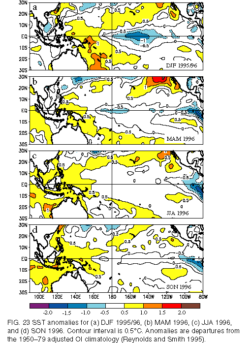
As you can see, I went ahead and found it. Plymouth only goes back to 2000. Anyway, here's the " evidence". Looks Nina to me. Although, close enough tri.month average one could classify as neutral I suppose with marginal spread.
-
-
Yeah, I always considered it a weak Nina . From what I recollect, SST'S showed that. Somebody go dig up archived plots from then. I just don't feel up to it. I used to have those at disposal many years ago. I'm sure Plymouth State still has those. A side note; I think that Winter would of had more Nina Characteristics albeit weak, had it not been for repeated textbook strong blocking.
-
I have one of those. It's a good Station overall. Accurate T, RH, Rain, Solar. 14 second updates not bad for budget Station. Biggest con is Windspeed runs low the higher the Winds, at least with mine. Customer support is good. I also have a Logia 7-1 . It has been very accurate overall. It was right with my Davis irt accuracy. T Sensor failing after 3 year's.
-
Yeah, that PDO is bad as of now. Last year at this juncture it was low but not this low and it managed to rise rapidly in November. That helped irt last Winter without a doubt.
-
Good ole JB, LOL
-
Yeah. The SST/Atmosphere correlation should become more Set as we get into Fall and Winter. If we get the tripole SST config in the NATL , along with the favourable QBO we should be in business as far as upstream blocking. We need to do a run on west based nina/ east based nina combo composites ,if it can be done. If we can find the Year's with that Configuration , should be able to. Maybe Chuck over in the MA can. He's good at that stuff.
-
That makes sense given the QBO as well. As of now, there's an obvious disconnect with the SST'S and Atmosphere. So, the NATL SST'S may not factor in too much if that were to continue into Winter. On to the reason of such a disconnect, that probably has something to do with Solar/ tropospheric imo. Mountain Torque could be at play some but, not to the disconnect Magnitude there is I don't think. Jeff may have a better or a more detailed explanation on the Subject.
-
Yeah, guidance as well as local NWS Forecasts have constantly been too high . Not just to the tune of a couple degrees but, 5-7.
-
Really been short changed irt Rainfall here at my home east of Jonesville. Under 4 inches for the Month so far. Average is about 5.25". Just continues to develop all around us . It's as if we have a mini dome around here.
-
Right. The Models haven't been good depicting where the greatest likelihood of Storms will setup. Day before yesterday they had it over us, west to east. It ended up being further North along a London to Wise line with spreaded swath width about 50-75 miles North of that line. This Morning an area was further south than progged.
-
Recorded just under 2 inches here last night. Portions of the Area received 2-3 inches.
-
Yeah, really amazing out there.
-
Lol. Yeah I know what you're saying. Seems we're hurt by those area's more times than not.
-
Yeah, right with you on everything you said brother. As it stands, a decent shot at a cold November/December imo. If by some almost miracle the CFS scores a coup irt the PDO we could be in business the balance of Winter. Let's keep an eye on the NATL SST'S as well as the QBO looks favorable for a predominant -AO so, if those SST'S configure correctly we could have a greater likelihood of a -AO/NAO Combo.
-
That's our hope as you know ,with the rest of the PAC in a -PDO Regime. Hopefully those SST'S go well above Normal there.
-
2013-14 and 2014-15.
-
PDO is quickly going deeply negative unfortunately. Doesn't bode well for Winter. Just as it appeared we were finally coming out of that long -PDO stretch, for whatever reason it comes roaring back.
-
Hp overhead appears to be the culprit to a degree. Unusual for there as you're generally in a prime area for popup Afternoon and Evening Storms.
-
We've been getting basically average Rainfall at my location. Everything is alive and green. I do worry that if a dry spell comes along it could be a bit problematic here. Areas all around have received abundant Rainfall so, no worries for the area as a whole.
-
Yeah, that warm blob seems to want to be a mainstay.
-
Yeah, it's easy to do. It's been a Thorn more times than not the last few Years.
-
That's pretty funny .Good one !Lol
-
As things look from this juncture ,we have a pretty good shot at a cold/ snowy Winter. The QBO should help lend to a more negative AO and NAO and the other drivers going to a more favorable position I see not much reason to not go for an overall cold and snowy Winter. However ,the IO bears watching as it , as we know, can throw a Monkey Wrench into an otherwise guaranteed Driver Setup but, not too concerned atm .
-
Cannabis ?


