All Activity
- Past hour
-
Yeah, its better but wouldn’t do it if it went beyond 84 is my weenie guess.
-

January 2026 Medium/Long Range Discussion
NorthArlington101 replied to snowfan's topic in Mid Atlantic
We’re pretty capped on this storm IMO to someone maaybeee getting to 8” if the ULL pass is ideal. There are probably things that can be done to try and better lockdown an area-wide 2-4”, but I’m not sure we can improve much on the 12z offerings from the GFS/Euro -
How many more improvements can be had before it’s enough? I've been hearing improvement for 48 hours now and still not there
-
It’s an improvement but not enough
-
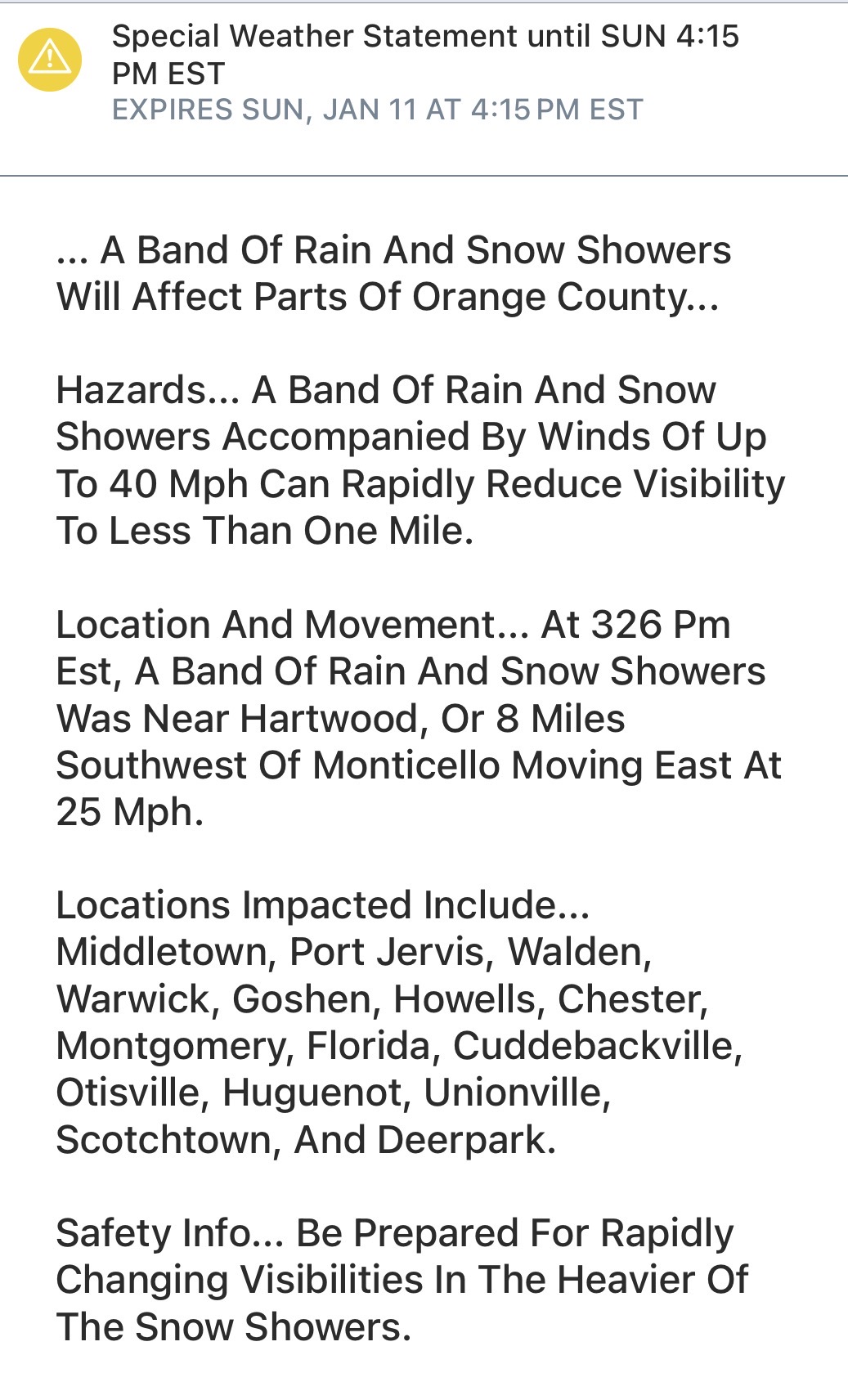
Looks like the best echos are going to pass north of me, more over Sussex County. Still I think I get clipped by the southern end. Will keep you posted.
-
Talk dirty
-
I like the look of the NAM at 69…digging pretty good.
-
Chuck shouldn’t be talking about the NAM until 0z
-

January 2026 regional war/obs/disco thread
40/70 Benchmark replied to Baroclinic Zone's topic in New England
Honestly probably what will happen. -
A trained spotter ought to know the difference.
-
Partly sunny and breezy. 35.3F
-
January 2026 regional war/obs/disco thread
40/70 Benchmark replied to Baroclinic Zone's topic in New England
Not sure how that's relevent...point is PD II wasn't heavy and wet for most. -
Did ok up here this morning.

-
Oh brother, NAM about to do NAM things.
-

January 2026 regional war/obs/disco thread
Scott Koziara replied to Baroclinic Zone's topic in New England
December 2009 and January 2022 were drier and fluffier events relative to February 2003. -
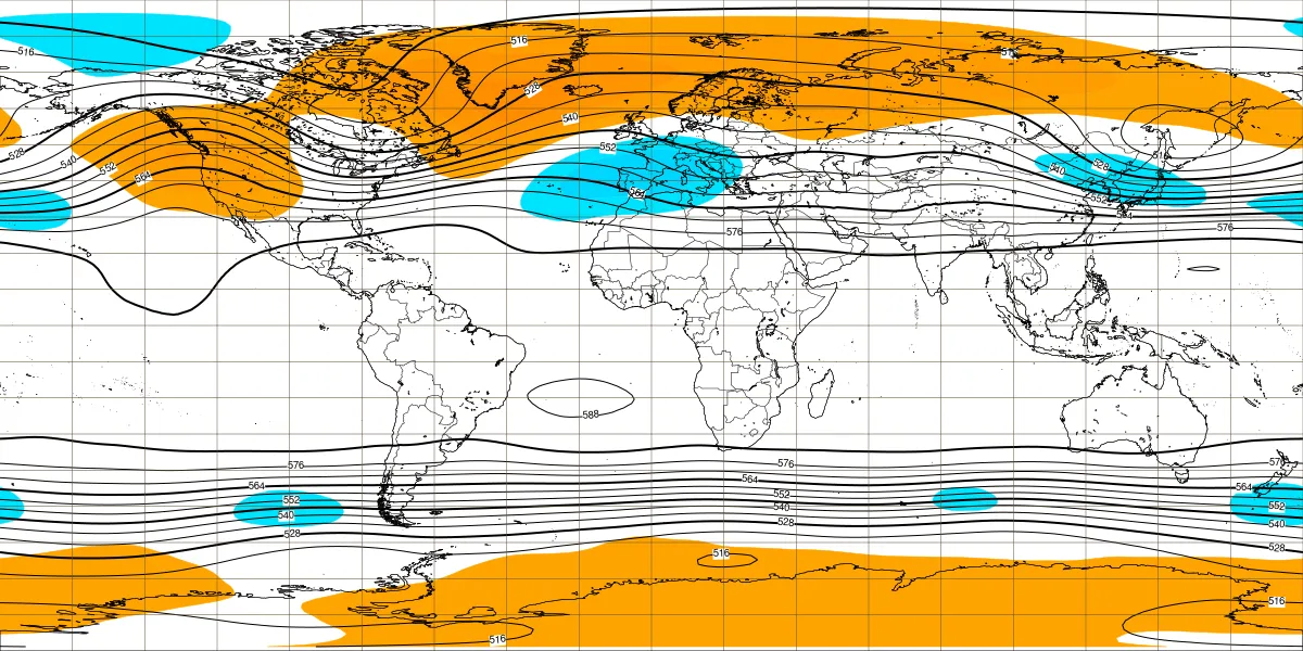
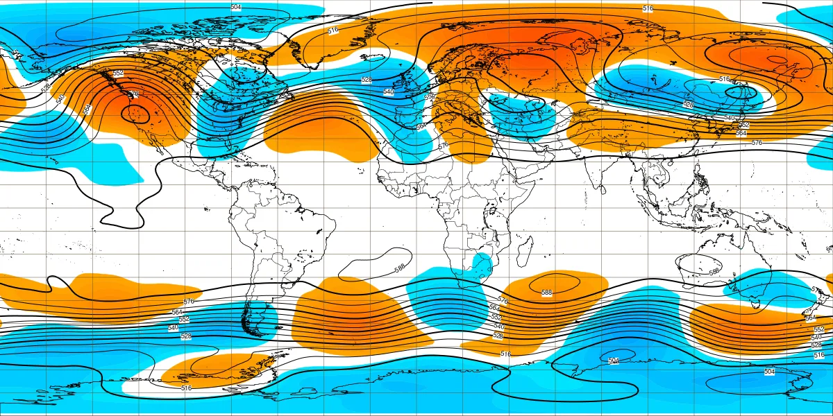
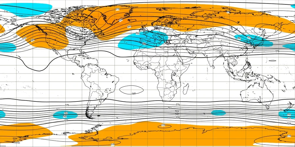
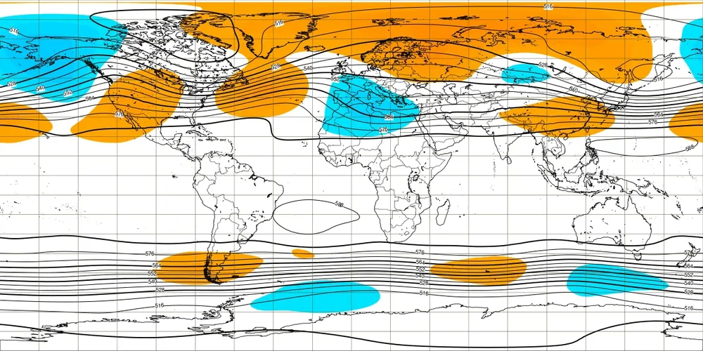
Kudos to Euro Weeklies for having +PNA switch week of 1/12-8 as far back as this one issued 12/24: 1st run w/notable hint of +PNA; it never looked back/kept strengthening it though it mistakenly had -NAO: Today: strong +PNA, no -NAO Today’s 1/26-2/2 subtly suggesting +PNA may return then: Otherwise, maps today mild for bulk of Feb fwiw. Hoping these will change and end up wrong!

-
January 2026 regional war/obs/disco thread
40/70 Benchmark replied to Baroclinic Zone's topic in New England
I had like a foot...plenty of events that the vast majority can't even recall that I would take over that. -
-

Central PA Winter 25/26 Discussion and Obs
WmsptWx replied to MAG5035's topic in Upstate New York/Pennsylvania
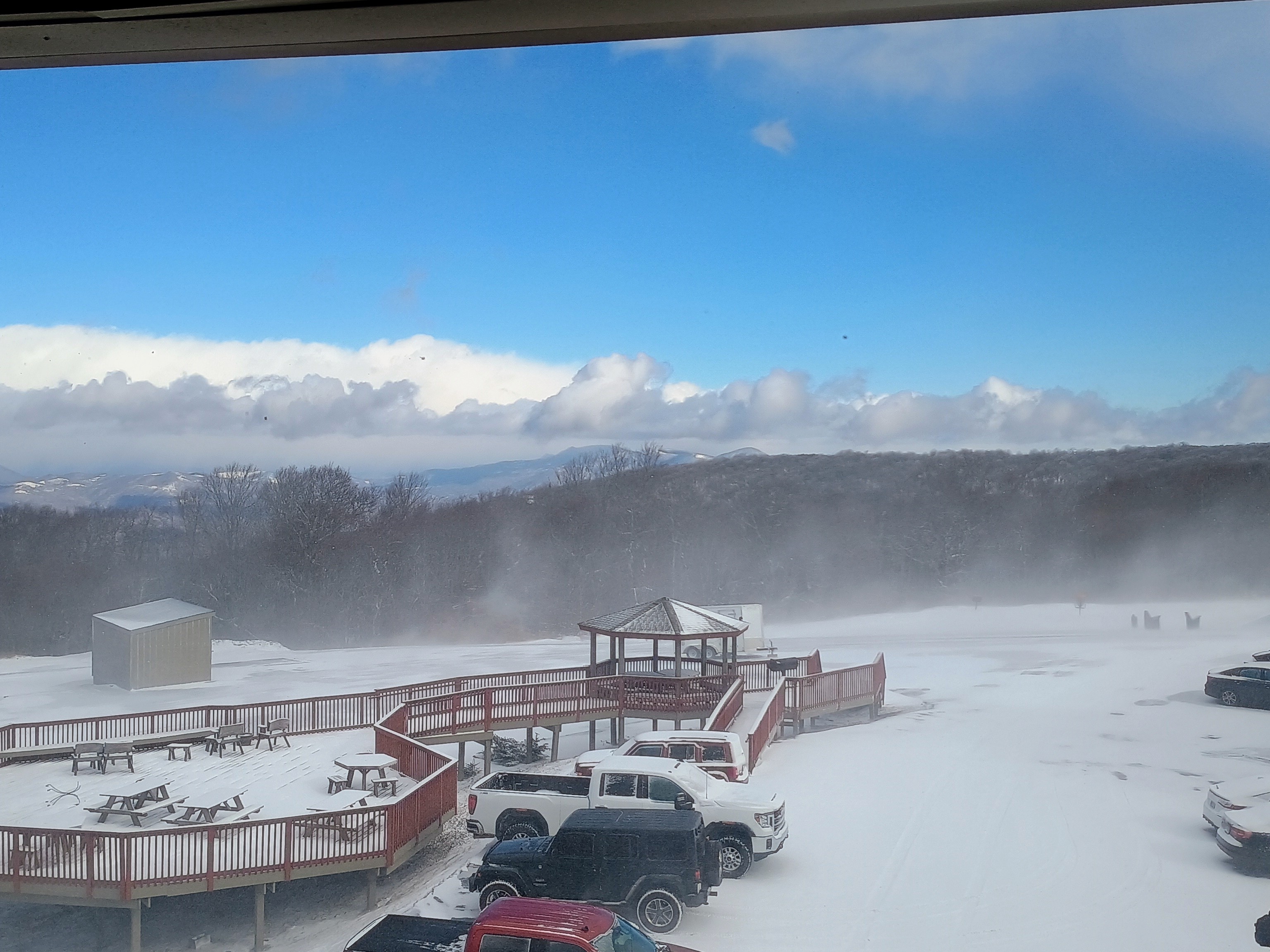
Another squall. Same intensity as the earlier event. -
Maybe graupel?
-
12z Euro opens the polar ice box next week. Gimme.
-
Sadly the drought in West TN & the Carolinas is going to most likely get worse. That’s if the Euro is correct, which more than likely is.
-
I was wondering that, agreed
-
Yea, hopefully the ULL keeps trending deeper and more closed so Hyannis can do better.
-
You're making his point...you are getting TFO of here, so "it's all good" for you....