All Activity
- Past hour
-

2026-2027 El Nino
roardog replied to Stormchaserchuck1's topic in Weather Forecasting and Discussion
I probably should have been more clear in my post. I was referencing the MJO impacting the developing Nino. The strong phase 7 and 8 in 2023 was looked at as an indication that the Nino could get very strong. This year it's in 7 and 8 again but weaker. I just thought it was interesting. -
What happened?
-

2026-2027 El Nino
cmillzz replied to Stormchaserchuck1's topic in Weather Forecasting and Discussion
March 2023 was very cold in the west though, so completely different patterns. -
Low 60's is well above normal for this time of year.
-
Snowy day at Bowdoin https://www.bowdoin.edu/webcams/coles.html
-
he’s implying we’re going back into a cold and wintry pattern, which isn’t true at all aside from a couple brief, seasonal cool shots.
-
I'm sorry I'm pretty sure I understand the vibe but what is smarch again
-
not really
-
Soundings are pretty cold here too. 2” of snow QPF in 12hrs is tossed though.
-
Road was opened sometime during the night finally. Was beginning to think they forgot but I know this area is far from a priority. Some sun and low 30's for the drive in. Just a phenomenal snowpack in place.
.thumb.jpg.b148ce5e3c314bb05370a8350c0515a3.jpg)
2.thumb.jpg.3ebd3c6b517158dba81dc297697ac71e.jpg)
-
Hahaha
-
Feeling a bit better with the south trend for Sunday/Sunday night... figure there will be some marginal mid-level layers, so want to be on the northern end of the QPF. Some snowy couple systems for the mountains.
-
I Don’t wish harm on anyone and hope @RevWarReenactor makes a full recovery.
-
UKIE
.thumb.png.eb69ee334a69bd82691d088ef7be5b00.png)
-
I guess the nicer milder look is taking a dump on our weekend/Sunday.
-
12z CMC also has a high qpf event rt 2 north
-
what happened to your Torch ? Now Upton and Mt. Holly have low 60's and on and off rain over the weekend and only around 60 if the clouds clear lows in the 40's
-
Temps around 30.so its marginal but still
.thumb.png.c209b99035352f4e83a2184e163d3648.png)
-
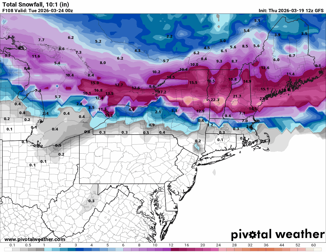
Let’s slip it north and put me at 175” on the season
-
Yes, That whole mid coast area has.
-
Let's slip that south 50 or so miles.. its a icestorm here
-
we hope
-
that area over to pen bay has had some great mesoscale events this winter
-
Like WTF?


.jpg.7992b5ab75ca0e13802f18ae762d0dba.jpg)
2.jpg.65f6bd3e6f209237fd3553fa79f9e60e.jpg)


.png.08355b8a01012aa5fcb77668a1094871.png)

.png.6b63145e5fda7a13fc1120698f8d8474.png)