All Activity
- Past hour
-
So far, Euro looks better at h5. Surface results TBD
-

First Legit Storm Potential of the Season Upon Us
The 4 Seasons replied to 40/70 Benchmark's topic in New England
NEWENGLAND thread title... -
Storm potential January 18th-19th
WeatherGeek2025 replied to WeatherGeek2025's topic in New York City Metro
could this cut!? -

First Legit Storm Potential of the Season Upon Us
40/70 Benchmark replied to 40/70 Benchmark's topic in New England
-

First Legit Storm Potential of the Season Upon Us
The 4 Seasons replied to 40/70 Benchmark's topic in New England
I expect maybe a slight improvement from the 12Z euro but it wont look anything like the GFS id bet on that -

First Legit Storm Potential of the Season Upon Us
40/70 Benchmark replied to 40/70 Benchmark's topic in New England
EASTERNMASSweather... -
January 2026 regional war/obs/disco thread
Kitz Craver replied to Baroclinic Zone's topic in New England
Yeah, GFS is becoming Canadian-esque with all of the virtual snow we have been shoveling. -

January 2026 regional war/obs/disco thread
The 4 Seasons replied to Baroclinic Zone's topic in New England
-

January 2026 Medium/Long Range Discussion
NorthArlington101 replied to snowfan's topic in Mid Atlantic
I think you could argue some meager improvements at h5 but agree otherwise. Mostly a noise shift -
Totally fair way to think. On the positive. This is how most of our storms go. They seems to jump into the mid range and get better as we close in. The big one with long leads are super rare. My gut likes this one especially for the lowlands and east.
-
It’s been pretty deadly within 5 days so that a big caution flag I think
-
We're all (or almost all) better off with the Ukie forecast.
-
It was fookin' great. We got stuck and my friend was driving his rear wheel drive and he told me to get out and tell the people coming up behind us to go around. This big old Winnebago came down the hill and lucky saw me and my friend's car in time and went around it. But it continued down the hill into the clouds (which we were in.) We stopped at the last overlook before Rt. 214? to Sperryville, which was below the cloud deck, and facing east we could see brightness in the distance while clouds were forming just below our elevation and moving through us at the overlook. By the time we got to Warrenton we heard the national news at the top of the hour say that over 1,000 people were stranded in Shenandoah National Park due to an early season snow storm. Memory of a lifetime.
-
January 2026 Medium/Long Range Discussion
SomeguyfromTakomaPark replied to snowfan's topic in Mid Atlantic
AI Euro not enthused -

January 2026 regional war/obs/disco thread
weathafella replied to Baroclinic Zone's topic in New England
I own the crazy uncle copyright -

First Legit Storm Potential of the Season Upon Us
RUNNAWAYICEBERG replied to 40/70 Benchmark's topic in New England
RGW with 6+ though. Hope he right. -
Looks like a decent WAA event with this clipper diving in from the NNW. The initial banding looks good, especially N of me. Hope that reality puts me in the bullseye, too. Have seen 6-8" from similar setups. But I'll be satisfied with half that. Beggars can't be choosers as they say.
-
2025-2026 ENSO
TheClimateChanger replied to 40/70 Benchmark's topic in Weather Forecasting and Discussion
CPC has done a great job this winter. They were spot on with the end of December, despite critics. BAMWx questioned CPC's outlook for 1st half of January, but it's been spot on. It was BAM's outlook that blew up. -

First Legit Storm Potential of the Season Upon Us
RUNNAWAYICEBERG replied to 40/70 Benchmark's topic in New England
If it didn’t happen in EMA, it didn’t happen. -

First Legit Storm Potential of the Season Upon Us
TauntonBlizzard2013 replied to 40/70 Benchmark's topic in New England
Have to look really hard for the improvement. Very small. Almost lockstep to the prior run, impressive consistency -
Some of you I like, some I like more than the ones I like. and like most people, the likelihood of me liking or not liking you depends on what you are like.
-
Historically this is a great spot to be in for local snowfall ~ 4 days out. There are multiple shots of snow this weekend including a potential coastal event modeled just offshore. Many many times in the past these would shift NW in the final days to deliver a solid hit. If we weren't so snake-bit over the past several years I think there would be more excitement.
-
Occasional Thoughts on Climate Change
TheClimateChanger replied to donsutherland1's topic in Climate Change
I didn't predict that it would be either. I was just pointing out that, with the current anomaly, the second half could be completely normal and it would still be close. With that said, it's pretty much guaranteed to finish in the Top 20, with Top 10 quite likely. As the colder end, in the means, shouldn't be nearly as extreme as the current positive anomaly. -

Storm potential January 18th-19th
Tar Heel Snow replied to WeatherGeek2025's topic in New York City Metro
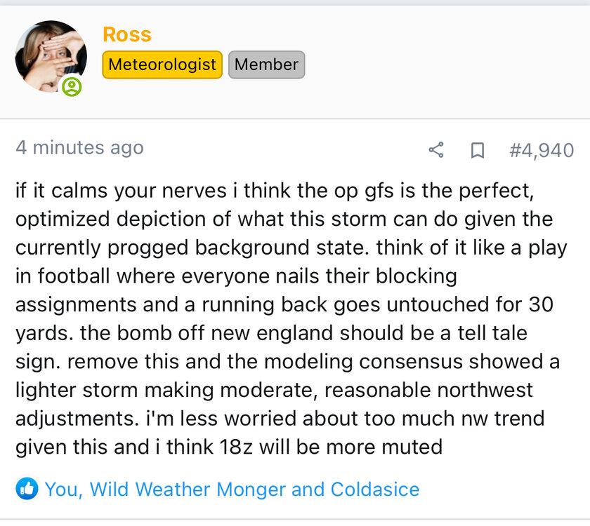
I really liked these thoughts from another forum. Basically we’ve seen the high end potential with plenty of lead time to go. This feels like we’ve backed into a really nice potential setup here if we can get it to ride more N/S, which Ops are more likely to show at this stage than Ens. We’re in that weird modeling liminal time frame now -

First Legit Storm Potential of the Season Upon Us
ORH_wxman replied to 40/70 Benchmark's topic in New England
Euro skynet got a little better. Prob solid advisory east of ORH. We wait on the OP run.


