All Activity
- Past hour
-

80 Degrees to Ripping Snow: March 12th
Maestrobjwa replied to SnowenOutThere's topic in Mid Atlantic
Yeah but wasn't it being modeled much closer earlier in the week? Better timing snd it coulda gotten up here...but I guess I define miss a little differently (like Dec 2018...technically not our region but it was a miss south to NC, and SoVa got some of it, I think). -
It had big potential with the cold air. March has sucked for years.
-
A common theme in our Climo in spring is for heavy snow events to our north with pretty nuisance 1-3” backside defo hits. That’s essentially what’s on the table and has been. Euro runs were always a bit of an outlier but it looks like it’s falling in line. Let’s hope we’re still not doing this in May.
-
Lake response looks impressive. I think we can manage at least a Wind Advisory/WWA Advisory combo in N IN/SW MI. Maybe a WSW if things go well.
-
who’s denying the north trend?
-
When you get over 1.5" of ice in one shot and was forcasted to get about .5" dont tell me to chill. Models continue to show the remote possibiliy of another crippling ice storm is enough to justify my elevated concerns and anxiety not to mention all I have to do is look outside my window and get a instant reminder of what crippling ice can do.
-
Today's decline at DCA of 45 degrees from a high of 78 at 12:44 AM to a low of 33 at 2 PM was the greatest there in more than 48 years. On January 19, 1978, the decline was 48 degrees -- from 62 to 14. The greatest intra-day temperature swing in DC history was 50 degrees, which occurred on March 23, 1907, when the temperature rose from 40 to 90. Also, 78 degrees is the warmest it has been in DC history on the same day as accumulating snow (DCA recorded 0.1 inch today). Before that, the highest temperature was 67 degrees on November 11, 1995, when 0.2 inch fell. Moreover, yesterday’s high of 86 degrees was also the warmest on the day prior to snow accumulation in DC history. Before that, the warmest it had been the day before was 78 degrees on March 18, 1934 -- 0.1 inch fell the next day.
-
People seeing the insane ice numbers need to chill lol those are not realistic numbers. You aren’t getting 2” of ice. (This is something who worked on the 2025 MI ice storm…) .
-
That’s a joke.
-
Either trends or struggling models but just feels like rooting for the backside of this thing is precarious. The smarter folks eluded to the difficulty in models forecasting this system. Lots of moving pieces as Chicago Storm said. Anyhow, back to my run to run trolling.
-
I just saw some video from Stowe Snow Report Instagram Account...Wow, rivers! Big Moose in Greenville looks devastated.
-
Quick video of some of the snow we had in Charlottesville around 12:30 this afternoon. Pretty incredible sight, considering I was wearing sandals, shorts, and a tank top just yesterday! snow 1 (1).mp4
-
Imby Columbia: 3/11+3/12 = 0.90” rainfall 1.5” snow on 3/12, now 2.6” for March
-
Clearly a dramatic change on the 18Z Euro
-
Maybe we can dress up gone to make a it more modern AI message?
-
Yeah the severe weather side of this system is pretty bleak at the moment (up here anyway). Rooting for at least some upper 60’s and 50 mile an hour winds lol.
-


-
I was just hoping for more thunderstorms, but looks like between snow and thunderstorms, we've landed in the middle so we'll get neither lol
-
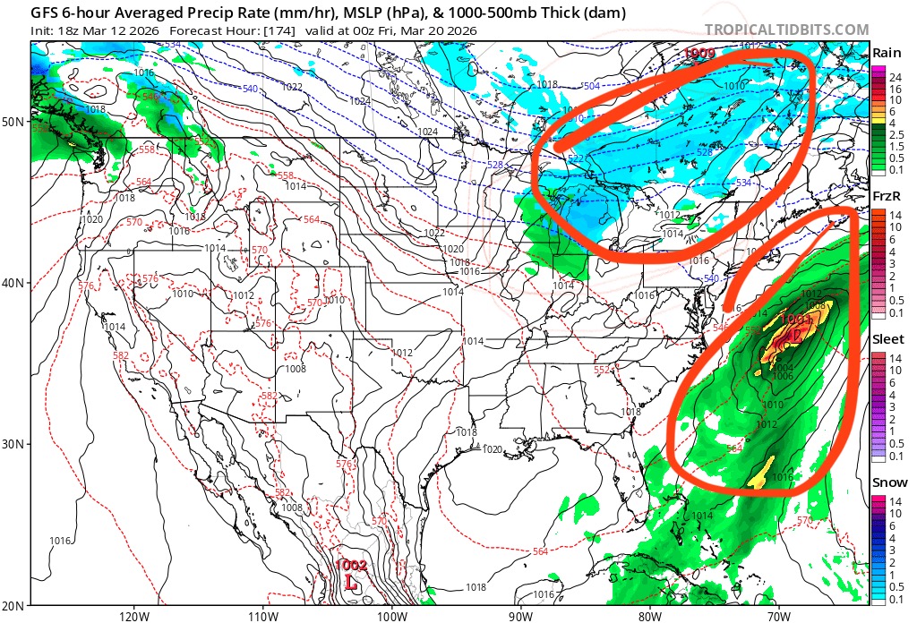
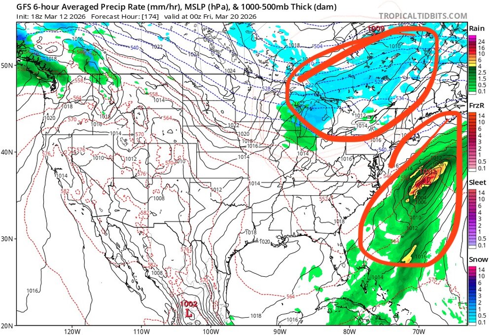
Anyone care to share the 18z King Euro snow and FRAM maps?
- Yesterday
-
The shit posting will continue until morale improves
-
It’s gone
-
Never been so confused catching up on a thread. Models haven't really changed all too much (kinda wild given the many pieces of energy)? Are we rooting for a miss north? Are we vague posting?
-
next big potential
-
And I'll be honest and say I would have guessed that this February event would have been SSW had it succeeded, though....so not trying to hide behind a vale of ambiguity.
-

2026-2027 El Nino
Stormchaserchuck1 replied to Stormchaserchuck1's topic in Weather Forecasting and Discussion
This is the following Winter - so you can see the PHX happening is a developing-El Nino occurrence as this Winter precip pattern is very El Nino There has never been a year in the 70-year composite that matched the "Winter before El Nino" better, in the CONUS