All Activity
- Past hour
-
Key word "potential." But the numbers I posted showed no warming showing up thru 5/14. Going off those surface maps can be misleading because 1) there are several SSTA product maps out there and they are often different, albeit subtle at times, and who knows exactly which map generates those numbers I posted, and 2) you really can't make an accurate assessment off those maps of subtle changes...iow, eyeballing them doesn't work well most of the time when trying to determine numerical numbers from the CPC.
-

May 17th-20th severe weather discussion
CheeselandSkies replied to Chinook's topic in Central/Western States
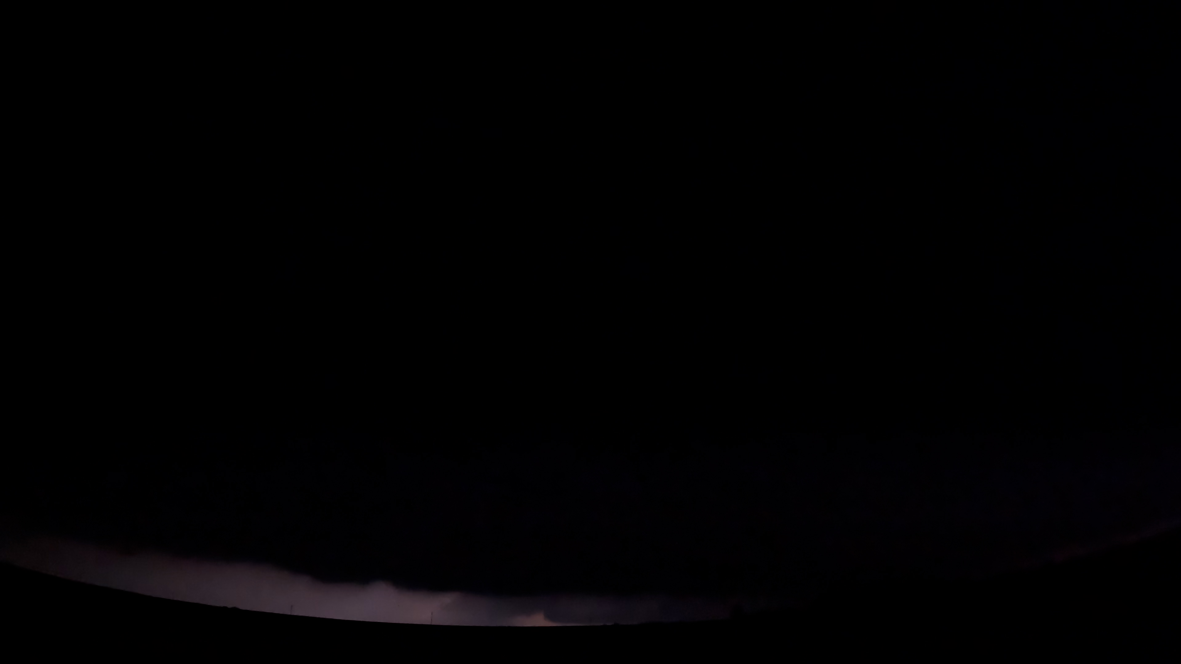
I didn't realize until seeing the DAT that the nocturnal KS beast was actively producing an EF3 while I was on it north of US 54/400 between Cullison and Pratt shortly before 11 PM Sunday. The inflow was howling but the reflectivity signature looked messy from the merger and the velocity, while there was definite rotation, wasn't clear-cut "intense tornado in progress" like it had been back west of Haviland and again from Iuka to Plevna. After I got sick of the pitch black dirt roads (which didn't take very long) and got back on 54/400 eastbound toward Pratt, the lightning didn't illuminate under the base much during the time I was recording. This is the best frame I found that gives some hint as to what was going on, toward the bottom center: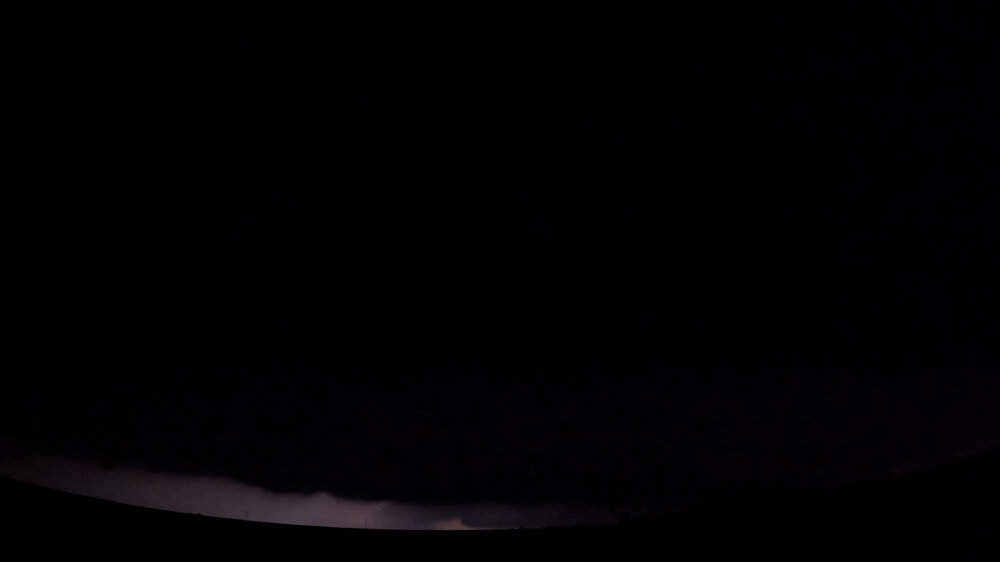
-
This is not scientific, but I’ve had a feeling for awhile that we’re getting a cooler summer. This weekend has been a good sign. Fingers crossed.
-
Thinking the same..
- Yesterday
-
This is true . So you’ll need to enjoy and root for dews. I think it’s a Dewy summer and not high heat
-
Not a drop of rain at my house today but we ran into a bunch of showers driving all around the area.
-
Beer ?
-
really? noted
-
I don't care if it's hotter than the surface of the Sun as long as the effing rain stops.
-

2025-2026 ENSO
Stormchaserchuck1 replied to 40/70 Benchmark's topic in Weather Forecasting and Discussion
+WPO has been linked to Indian Ocean warming. Indian Ocean SST patterns may be decadal, although the long term trend is generally up. -
Why the two drunks disagreeing?
-
why? I still do stuff all the time in summer and look forward to storms and all that good stuff..
-
2025-2026 ENSO
Stormchaserchuck1 replied to 40/70 Benchmark's topic in Weather Forecasting and Discussion
It was strong -QBO, too, which goes with El Nino for Stratosphere warming -
And just like that, the Torch Twins return from hiding at the first sign of near normal temperatures. You could set your clock.
-

2025-2026 ENSO
40/70 Benchmark replied to 40/70 Benchmark's topic in Weather Forecasting and Discussion
It's like I have said to you before.....it's folly to generalize ENSO by intensity.....2009-2010 was a different breed than prototypical stronger events...it was a full-fledged Modoki during an arc ending solar cycle just beyond solar min. That is a mid Atlantic wet dream....it's no mystery what it evolved in a favorable fashion. Everyone and their mother was forecasting a blockbuster season that fall...it was obvious. -
I’m guessing my sarcasm was too thick or not thick enough. The winds have been stupid for months and months. A high of 62 degrees here, 57/49 right now and still on the windy side even though it’s been a couple hours since the last shower came through.
-
2025-2026 ENSO
40/70 Benchmark replied to 40/70 Benchmark's topic in Weather Forecasting and Discussion
I would honestly pass on a STJ as strong as 2009-2010 again. -
2025-2026 ENSO
40/70 Benchmark replied to 40/70 Benchmark's topic in Weather Forecasting and Discussion
I agree with you that the baseline jump in temps is permanent, and also agree that we need to wait and see on the storm track. Like I was saying, I think most of our disagreements are just born of inconsistencies in the manner that we articulate ourselves and the points that we stress. We largely agree in a general sense. -
To my untrained eye looks likely it's going to make its way down to New England. Oh well, there goes the summer...
-
2025-2026 ENSO
40/70 Benchmark replied to 40/70 Benchmark's topic in Weather Forecasting and Discussion
Completely agree.....I am open to the idea of CC forcing that pattern, but as I have been saying...I would need to see it persist into the 2030s. -
Looks seasonable, no extended 90's or anything.
-
Nah…Arctic clown maps
-
Ineedcoldraininsummer will disappear for months
-
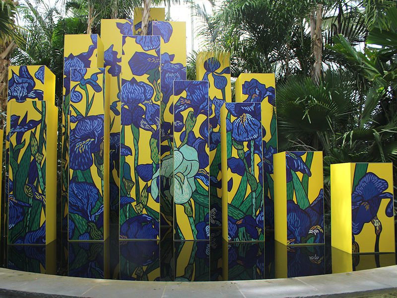
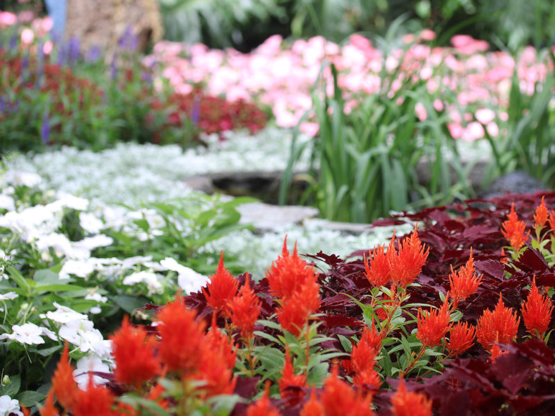
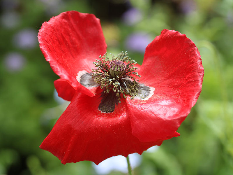
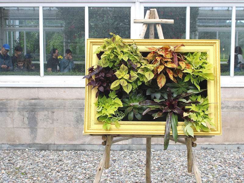
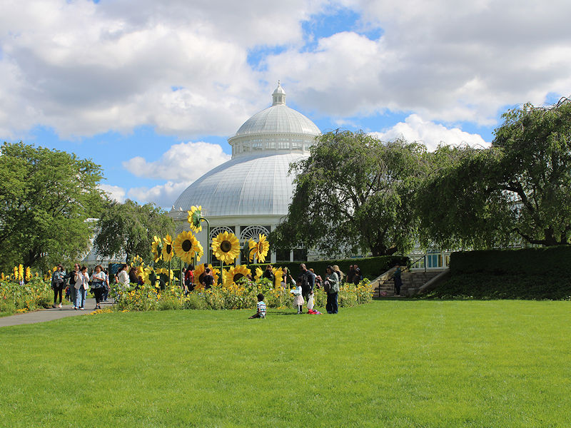
The temperature rose into the lower and middle 60s this afternoon making for a great start to the New York Botanical Garden's "Van Gogh's Flowers" show.