All Activity
- Past hour
-
above normal doesn't cut it for me, as averages can be elevated without any hot days, just a lot of rain and elevated minima. this is why warm and hot describe completely different things we can be above normal without any hot days or any sunshine for that matter that's not a hot summer.
-
Because of the stunningly stalwart defiance to change (the trend that has never un-trended itself ... ) I'm gonna go ahead and just assume this precarious weekend dong set up of a pattern will go ahead a verify the rape and claim the 14th in row ...
-
cool (like today) or warm but definitely not hot. above normal = warm hot = large number of 90 and 95 degree days and a few 100 degree days thrown in. That's how I view warm vs hot. warm describes elevated averages while hot refers to number of hot days (this is how the NWS describes it too). when talking about hot days, elevated minima are not factored in as the word *hot* as a specific definition refers to how high the high temperatures are. the excessive rain is why our number of hot days is down.
-
We have 90% of summer still ahead of us. I will bet we finish above normal by the end of August.
-
Misty misery Monday.
-
I got with a deer tick yesterday. Going on Doxy today. Damn.
-
The radar is amazingly clear for 100% chance of rain.
-
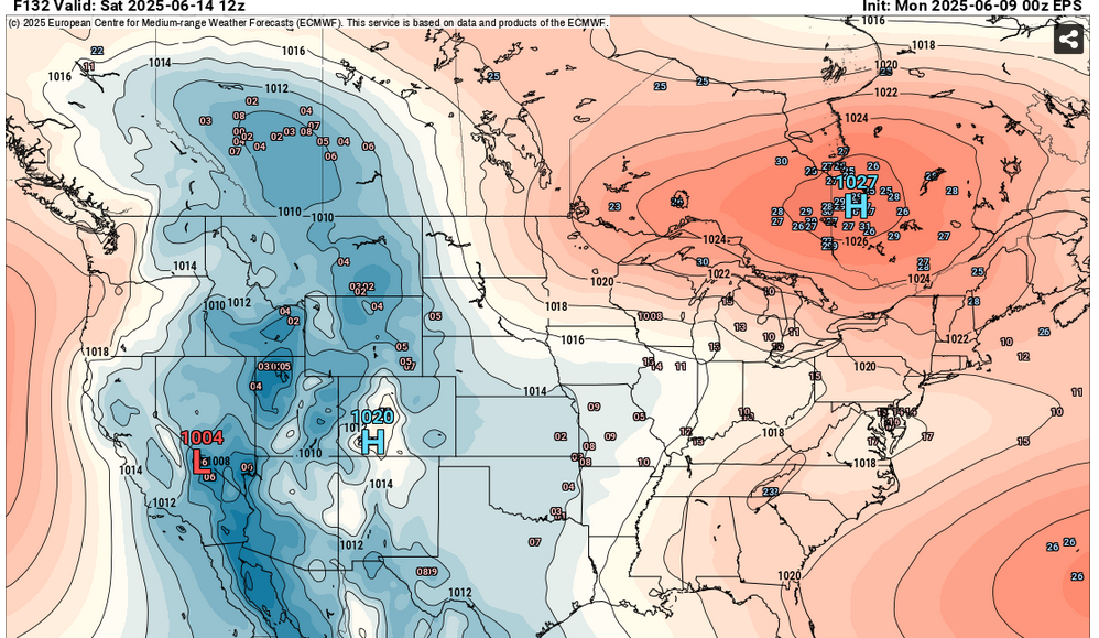
The long range still shows no real extreme heat. Next week might be trending downward with temps as a more Easterly flow may set up. The main heat areas are out West. Precip is never that far away. Granted the actual amounts may vary.
.thumb.png.8f6a0ac8b350094e848b680ade1de055.png)
-
Need
-
Another inch over (Tue) / Sat - Sun.
-
Records: Highs: EWR: 102 (2011) NYC: 97 (1933) LGA: 99 (2008) JFK: 96 (1984) Lows: EWR: 47 (1957) NYC: 47 (1930) LGA: 59 (1980) JFK: 48 (1980) Histrical: 1874:The highest maximum temperature ever recorded in June in Washington, DC was 102 °F. (Ref. Washington Weather Records - KDCA) 1953 - A tornado hit the town of Worcester MA killing ninety persons. The northeastern states usually remain free of destructive tornadoes, however in this case a low pressure system, responsible for producing severe thunderstorms in Michigan and Ohio the previous day, brought severe weather to New Hampshire and central Massachusetts. The tornado, up to a mile in width at times, tracked 46 miles through Worcester County. It mangled steel towers built to withstand winds of 375 mph. Debris from the tornado fell in the Boston area, and adjacent Atlantic Ocea. (David Ludlum) (The Weather Channel) 1966: Hurricane Alma made landfall over the eastern Florida panhandle becoming the earliest hurricane to make landfall on the United States mainland. 1971: The tornado that struck the town of Gruver in the Texas Panhandle on this date is believed to be the widest tornado in U.S. history with an average path width of 2,500 yards. At times, the monster storm was over two miles wide. (Ref. Wilson Wx. History) 1972 - A cloudburst along the eastern slopes of the Black Hills of South Dakota produced as much as 14 inches of rain resulting in the Rapid City flash flood disaster. The rains, which fell in about four hours time, caused the Canyon Lake Dam to collapse. A wall of water swept through the city drowning 237 persons, and causing more than 100 million dollars property damage. (David Ludlum) 1987 - Lightning struck Tire Mountain near Denver CO, destroying two million tires out of a huge pile of six million tires. Thunderstorms spawned three tornadoes around Denver, and a man was killed at Conifer CO when strong thunderstorm winds lifted up a porch and dropped it on him. A thunderstorm near Compton MD produced two inch hail, and high winds which destroyed twenty barns and ten houses injuring five persons. (Storm Data) (The National Weather Summary) 1988 - Thunderstorms produced severe weather from North Carolina to the Central Gulf Coast Region. Hail in North Carolina caused more than five million dollars damage to property, and more than sixty million dollars damage to crops. Hail three and a half inches in diameter was reported at New Bern NC. Thunderstorms in the Central High Plains produced eighteen inches of hail at Fountain CO. The temperature at Del Rio TX soared to an all-time record high of 112 degrees. (The National Weather Summary) (Storm Data) 1989 - Severe weather abated for a date, however, showers and thunderstorms continued to drench the eastern U.S. with torrential rains. Milton, FL, was deluged with 15.47 inches in 24 hours. Record heat and prolonged drought in south central Texas left salt deposits on power lines and insulators near the coast, and when nighttime dew caused arcing, the city of Brownsville was plunged into darkness. (The National Weather Summary) 1993: Lightning struck a US Air Boeing 737 parked overnight at the Buffalo International Airport in New York. The lightning traveled through the plane to the runway and exploded the concrete runway at the three points of the landing gear. The flying concrete debris caused damage to the fuselage and winds of the plane. The 737 had to be ferried out for repairs. In addition to the damage to the plane and runway, power generators connected to the plane overnight were shorted and blown out. (Ref. Wilson Wx. History)
-
Lots of sun this morning after some morning mist. I guess it's supposed to rain again tonight?
-
Sun looks like it's trying to poke out.
-
This map looks familiar from about a month ago. The severe threat was to the river too. But than they expanded it it past the river. They issued severe thunderstorm warnings for me when the thunderstorm was on top of me. So I wonder if the same scenario will occur today, tonight also.
-
62 / 59 cloudy onshore E/ENE flow. Other than drizzle and spotty showers cloudy cool - highs near or below 70 for most. Front comes back north tomorrow with next round of showers/rain 0.25 - 0.50 in the heaviest spots. Clearing later Tue gets it back to normal - near 80. Wed - Fri much warmer with a chance for the next / first 90 in the hotter spots on Thursday (6/12)elsewhere mid - upper 80s. Next front/boundary comes this weekend 6/14-15 with clouds and rain with a similar looking into next week. Overall warmer and wetter than normal beyond with heat from the west building east and north with heat possible by the 20th with a warmer close to the month.
-
Eww nasty
-
How many beach weekends? Zero We only have 15 between Memorial and Labor Days and 3 already gone with the 4th looking the worst yet. How many true beach days at all? Last week a couple but it was actually significantly cooler there than inland We get 3 this week Wednesday through Friday but might be another week before the next one Before you blink its over...in 2 weeks we will have posts about days getting shorter
-
They are more brown than the blacklegged tick and were originally discovered in the US in NJ. See https://www.aphis.usda.gov/livestock-poultry-disease/cattle/ticks/asian-longhorned. The scary thing about them is their population has exploded because they can reproduce via parthenogenesis which is wild for a tick.
-
1.08 rain since Friday. And presumably more later today/tonight. I hope it misses me.
-
that figures. Heading to see @Itstrainingtimebeloved O's saturday of fathers day weekend. Everytime we go there it rains or is 1000 degrees
-

Central PA Summer 2025
Mount Joy Snowman replied to Voyager's topic in Upstate New York/Pennsylvania
It absolutely was. I did a bunch of power washing in the morning and then just sat on our front porch and listened to the rain. It was so relaxing and the perfect intensity for the ground to soak it up. Great way to end the weekend. -
What does that look like
-
We are paying for the warmth we had last October/November. Maybe the seasons are just shifting and Septembers will be warmer than Junes
-
Well now you have to go knock on wood. NJ is interesting though as the Asian longhorned tick is really taking over.
-
This is certainly the case for many, but definitely not for me. I'm in the very northern part of the NYC Metro. What is doing it I think is the lack of sunshine for long stretches at a time. That is NOT normal for June across any part of our subforum. Also, seeing many days in the future like today which will be a -11 for my area. In today's climate and at this time of the year, that is pretty big to be doing routinely. There are 3 days on models that are at or above normal for my area over the next 14 days. That is a far cry from what many were forecasting this year.


.png.b8d007507926352523d20712fa540f1b.png)


