All Activity
- Past hour
-

Septorcher 2026 Discussion - Endless Summer
512high replied to Damage In Tolland's topic in New England
66/ .22" -
(002).thumb.png.6e3d9d46bca5fe41aab7a74871dd8af8.png)
Central PA Summer 2026 Discussion/Obs Thread
ChescoWx replied to Voyager's topic in Upstate New York/Pennsylvania
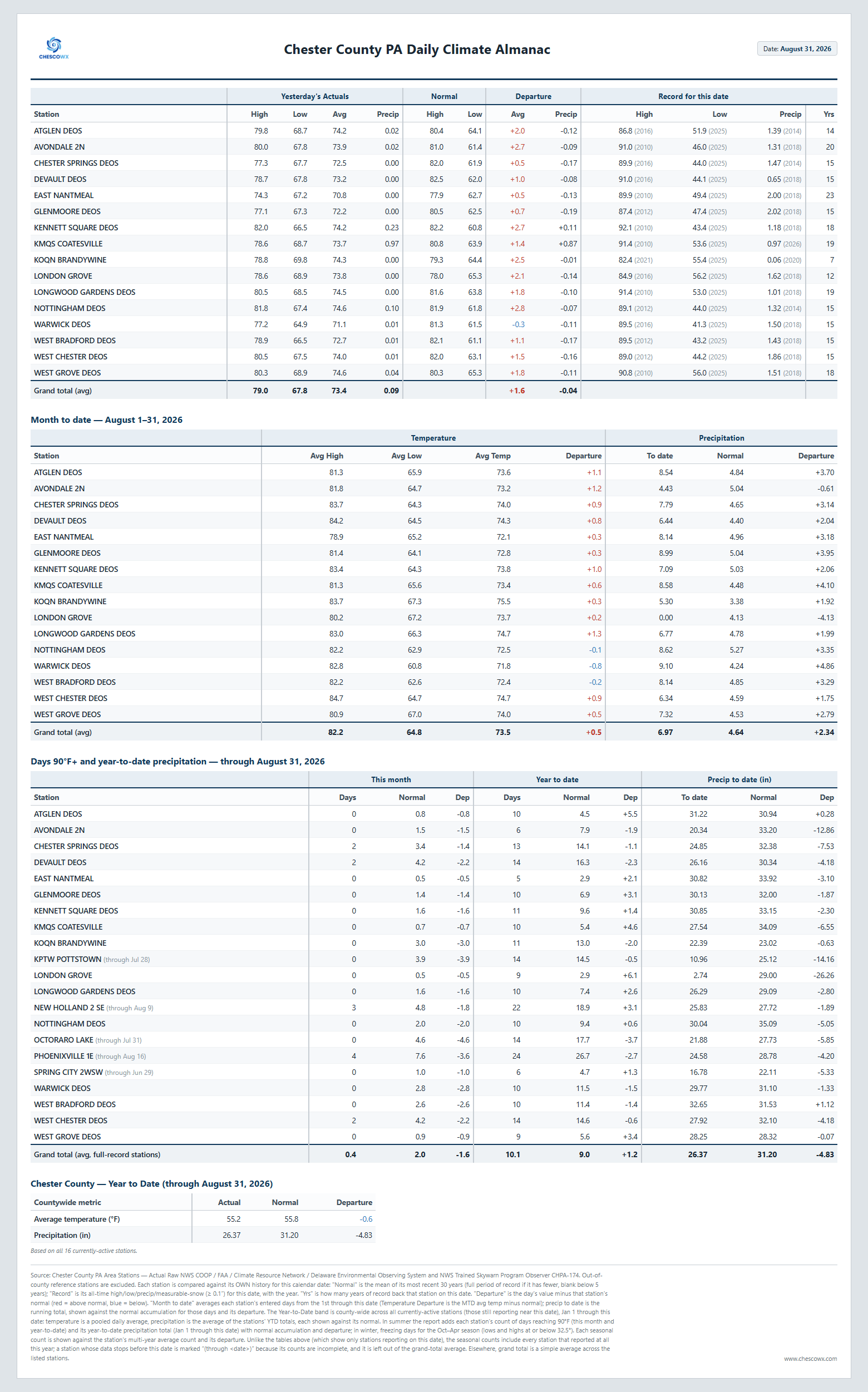
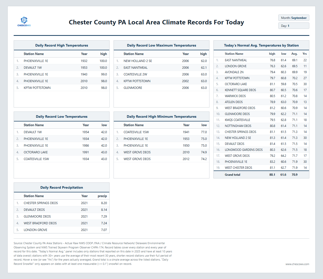
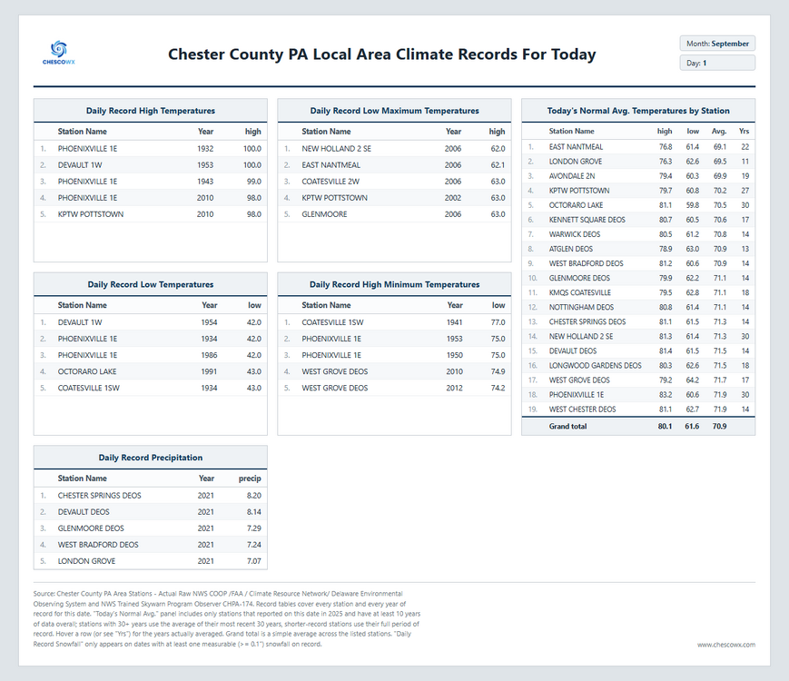
After a very wet August across the area we start September with more shower chances over the first few days of the month. Today looks to be the warmest day and likely driest with highs ranging from the mid 80's here in East Nantmeal with some 90's possible in valley locations. Tomorrow will be a good 10 degrees cooler but also a better shot of some showers. With a cold front passing through we begin to trend cooler as we head into the Labor Day Weekend. High temperatures through the weekend looks to remain in the mid to upper 70's with overnight lows in the 50's.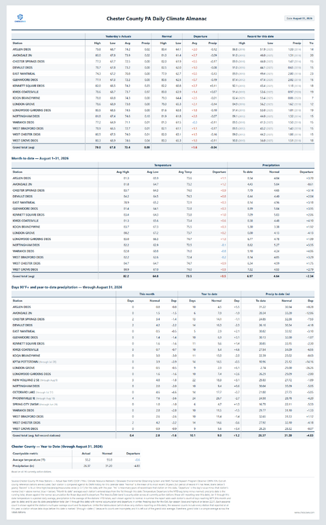
-
E PA/NJ/DE Summer 2026 Obs/Discussion
ChescoWx replied to PhiEaglesfan712's topic in Philadelphia Region
After a very wet August across the area we start September with more shower chances over the first few days of the month. Today looks to be the warmest day and likely driest with highs ranging from the mid 80's here in East Nantmeal with some 90's possible in valley locations. Tomorrow will be a good 10 degrees cooler but also a better shot of some showers. With a cold front passing through we begin to trend cooler as we head into the Labor Day Weekend. High temperatures through the weekend looks to remain in the mid to upper 70's with overnight lows in the 50's.
-
Yes, look at different radar and elevations, there is more than one circulation present.
-

2026-2027 Record-breaking El Nino
Keith Central PA replied to Stormchaserchuck1's topic in Weather Forecasting and Discussion
Great storm, 1983 was great too, shame you weren't born yet. -

Septorcher 2026 Discussion - Endless Summer
Brewbeer replied to Damage In Tolland's topic in New England
still 66/66 and raining -

Septorcher 2026 Discussion - Endless Summer
SouthCoastMA replied to Damage In Tolland's topic in New England
Gotta love it. 7/10 split -

2026-2027 Fall/Winter Mountain Thread
Maggie Valley Steve replied to BlueRidgeFolklore's topic in Southeastern States
Please pin this thread @buckeyefan1 and unpin the Spring/Summer thread. Thank you Michelle! -
Yep, for the first time that looks like a real nascent eyewall. It is not just low topped convection. If that wraps up this will obviously strengthen quicker. It is very obvious now though that the system is in a strengthening phase.
-
Wow, look at that strong mesovortex wrap up at the tail end of the intensifying core band. Fascinating stuff watching this unfold on radar.
-
Severe chances dropped for tomorrow
-
Yes, like an ERC when it finishes and the sig intensification can occur again, Just the dry slot gap N and E makes this process less likely here.
-

2026-2027 Record-breaking El Nino
MJO812 replied to Stormchaserchuck1's topic in Weather Forecasting and Discussion
2016 was amazing 31 inches of snow ( 27 hours of snow ) -
2026-2027 Record-breaking El Nino
MJO812 replied to Stormchaserchuck1's topic in Weather Forecasting and Discussion
Yea prolonged cold will most likely not going to happen especially in the first half of winter. Im fine with that. Dont want suppression depression -
Lightning in the core, convection rotating upshear.
-

Septorcher 2026 Discussion - Endless Summer
CoastalWx replied to Damage In Tolland's topic in New England
Eff them. -
Septorcher 2026 Discussion - Endless Summer
CoastalWx replied to Damage In Tolland's topic in New England
At least we’ll Be mowing in December when it finally rains. -
Recon finally starting to see winds come up, correlating with a flare up over center and increased radar velocities. The strengthening has begun
-

E PA/NJ/DE Autumn 2026 Obs/Discussion
JTA66 replied to PhiEaglesfan712's topic in Philadelphia Region
Met fall...we made it! Now if we can get the weather to cooperate. 74/F/DP 73F at 9am. -

Occasional Thoughts on Climate Change
donsutherland1 replied to donsutherland1's topic in Climate Change
When one's narrative is destroyed by the facts, some accept reality. Others, however, resort to conspiracy theories.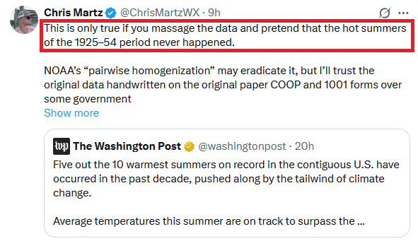
-
We are finally seeing a blowup of very deep convection near the center over the last 30 minutes.
-
The odd reason is two things, hype for clicks/like, and as I have said before, esp. when it comes to satellite and cold clouds tops, some just "see at the trees w/o seeing the forest." The question you have to ask, is that developing deep convection banded or showing twist, esp near the center? If not, that means you have to temper your expectations at first. Many times a big blow up of convection collapses almost as fast, as one example, and irregular blobs of convection for a TC are not conducive to RI. One large coherent blob is ok, esp. if it persists, b/c that often is a sign of a developing CDO.
-
2026-2027 Record-breaking El Nino
Keith Central PA replied to Stormchaserchuck1's topic in Weather Forecasting and Discussion
Problem is the evidence and history..Every Super Nino has lead to warmer than normal temps. But that doesn't mean it can't snow. Just prolonged winter weather is unlikely. I remember 1972,1982,1997 and 2015. Not fun,but we did get blizzards in 83 and 2016. -
You know, interestingly, in the past thirty or so minutes since posting that, the old inner circulation or nascent core is getting absorbed by a strong band that is intensifying. That is what you want to see if you want strengthening, but it needs to wrap around to become a proto-eyewall feature. At any rate, such a strong band should be resulting in a significant expansion of convection / cold cloud burst on satellite soon.
-
Septorcher 2026 Discussion - Endless Summer
SouthCoastMA replied to Damage In Tolland's topic in New England
looking forward to a couple rainy benchmark nor'easters.