All Activity
- Past hour
-
Going to be an interesting Sunday evening for someone.
-
Thanks Jason! .
-
I enjoyed sharing snowstorms. This, not so much. I hope all will be well.
-
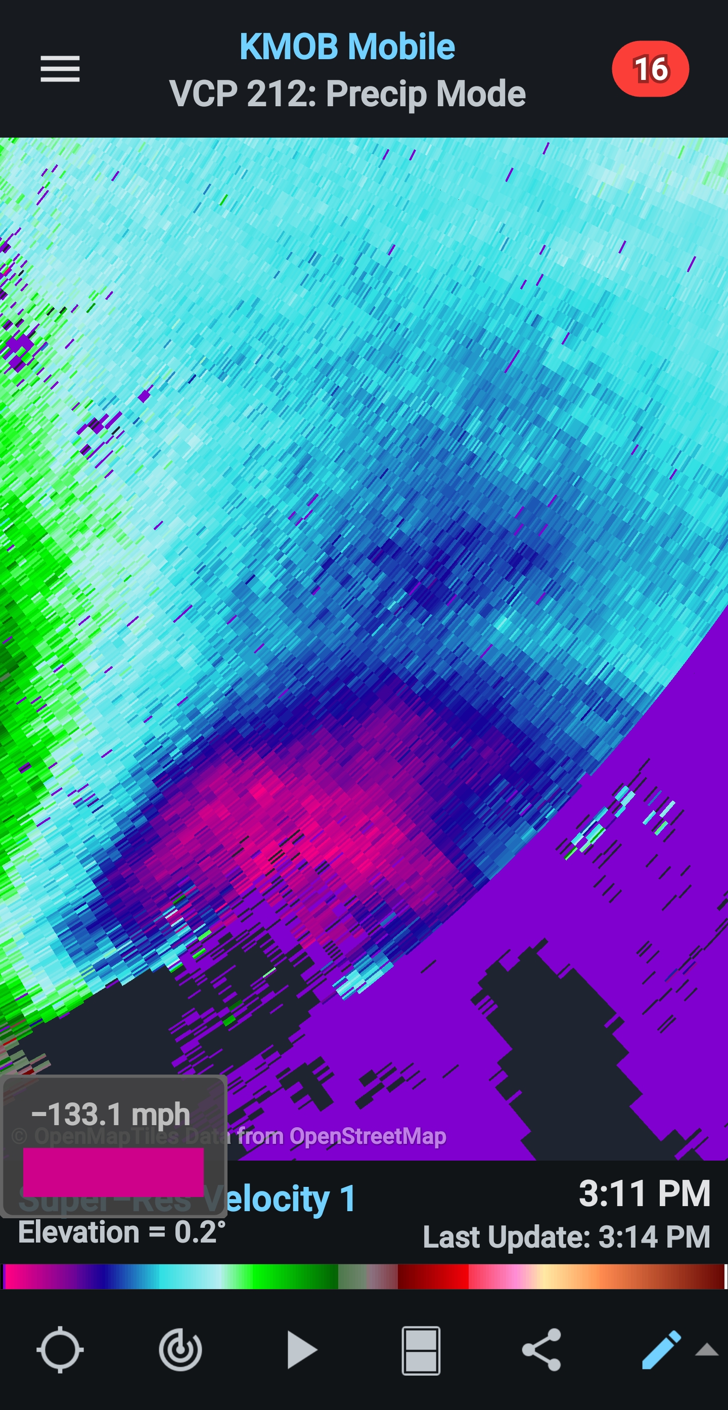
This could be indicative of what is to come in the right quadrent as this comes inland later on and into the overnight. Tornado threat and inland wind damage to trees and power lines likely to be extensive well into Alabama and western GA.
-
This buoy will get close to the eye
-
This will go down as warmest october for CONUS and its not even really close right @bluewave?
-
I think the GFS had a low pressure in a Gulf about a week ago, but there was nothing on the NHC outlook, and then.. nothing, and then.. this.
-
Very cool metfan, thanks
-
Yet the shear drum bangers are redoubling and still crying “shear”
-
And during a super niño, no less. Isaías vs Niño and I is kicking butt and basically said "Shear? What shear?" lol And as others have pointed out, having not having any other storms in the Gulf probably helped this outcome...wow.
-
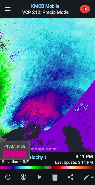
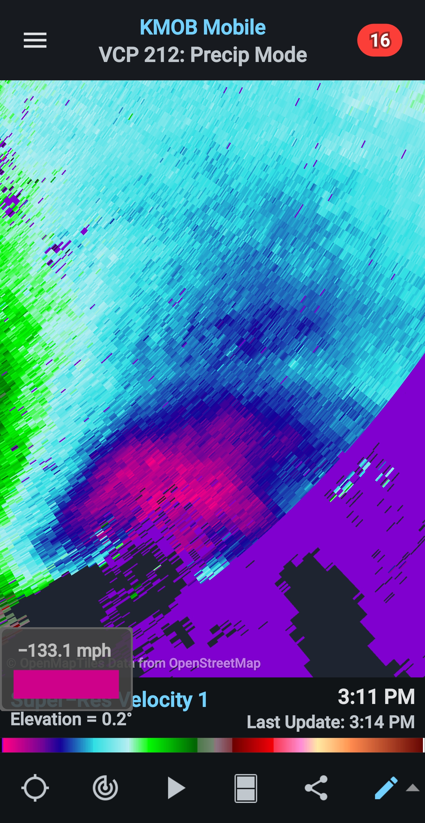
yes, current radars show 110 kt (126.5mph) wind in the clouds at the eyewall, above ground. That's some crazy stuff.
-
Confirmation… .
-
the gate to gate shear on that one on the right is about 150
-
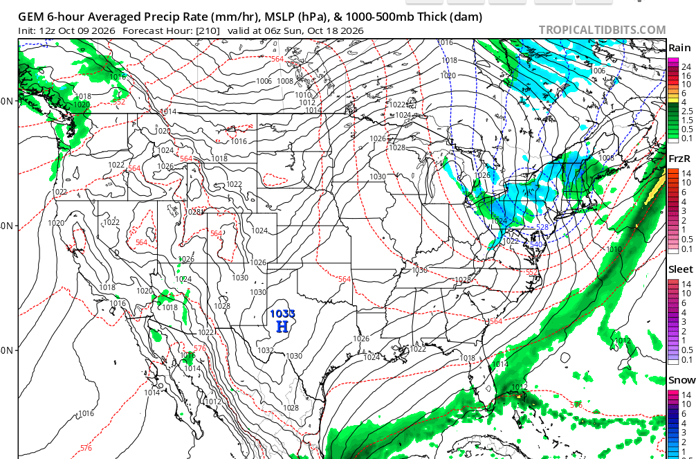
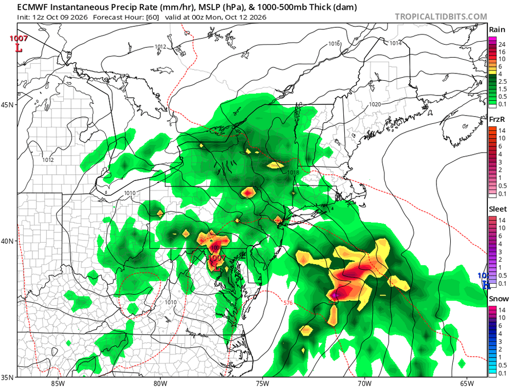
Maybe some flakes next weekend.
-
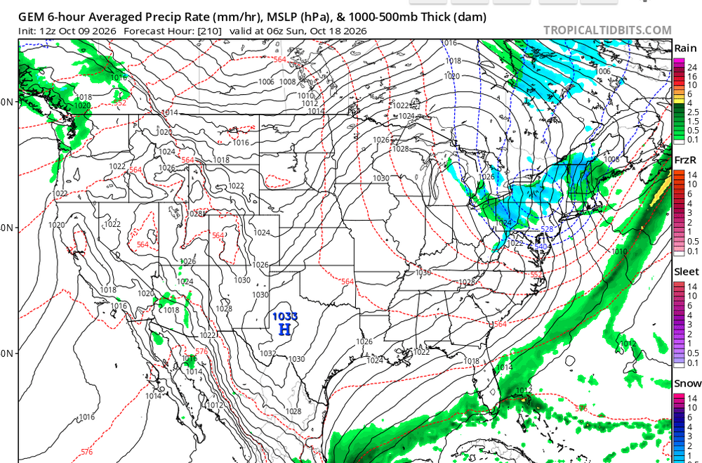
tornado warning Apalachicola FL, with larger tornadic supercell out over the open water, as I mentioned
-
good god thats a nasty looking couplet
-
 https://semaoraldirect.shop/# rybelsus diabetes
 -
This is the first time I've heard of an EPac system taking advantage of a positive trough interaction to maintain intensity further north than normal.
-
Tornado Warning FLC037-045-091945- /O.NEW.KTAE.TO.W.0050.261009T1912Z-261009T1945Z/ BULLETIN - EAS ACTIVATION REQUESTED Tornado Warning National Weather Service Tallahassee FL 312 PM EDT Fri Oct 9 2026 The National Weather Service in Tallahassee has issued a * Tornado Warning for... Southeastern Gulf County in the Panhandle of Florida... Southwestern Franklin County in Big Bend Florida... * Until 345 PM EDT/245 PM CDT/. * At 311 PM EDT/211 PM CDT/, a severe thunderstorm capable of producing a tornado was located over St George Island, moving northwest at 40 mph. HAZARD...Tornado. SOURCE...Radar indicated rotation. IMPACT...Flying debris will be dangerous to those caught without shelter. Mobile homes will be damaged or destroyed. Damage to roofs, windows, and vehicles will occur. Tree damage is likely. * This dangerous storm will be near... St George Island and Eastpoint around 315 PM EDT. Apalachicola around 320 PM EDT. Other locations impacted by this tornadic thunderstorm include Franklin, Bay City, Apalachicola Airport, Creels, Tilton, Beverly, and Hays Place. PRECAUTIONARY/PREPAREDNESS ACTIONS... TAKE COVER NOW! Move to a basement or an interior room on the lowest floor of a sturdy building. Avoid windows. If you are outdoors, in a mobile home, or in a vehicle, move to the closest substantial shelter and protect yourself from flying debris. && LAT...LON 2978 8519 2991 8492 2962 8477 2958 8489 TIME...MOT...LOC 1911Z 141DEG 33KT 2964 8487 TORNADO...RADAR INDICATED MAX HAIL SIZE...0.00 IN $$ 55-SCHOLL
-
tornado over the water, south of Crawfordsville FL
-
I have the ac on in my house.
-
It’s silly clowns like that that ruin a good board.
-
Numerous mesovorticies dancing around that eyewall
-
Meh wtf is wrong with you mehing everything and everyone
-
Crankin