All Activity
- Past hour
-
Definitely a boom. Just over an 1” already, glad you chased
-

First Legit Storm Potential of the Season Upon Us
40/70 Benchmark replied to 40/70 Benchmark's topic in New England
PIA system....I combined them into a two-part event. https://easternmassweather.blogspot.com/2026/01/first-final-call-for-two-part-nuisance.html First & Final Call: -
imma try friend. We need a morale booster
-
I can’t believe I’m not face down in the gutter. But here we are! Bring it home @stormtracker
-

First Legit Storm Potential of the Season Upon Us
DavisStraight replied to 40/70 Benchmark's topic in New England
Right, it's not like a monster dumping 2-3 feet in the ocean. I want to see a 15-20 inch storm this year. Been awhile. -
We're obsessed bro !!
-
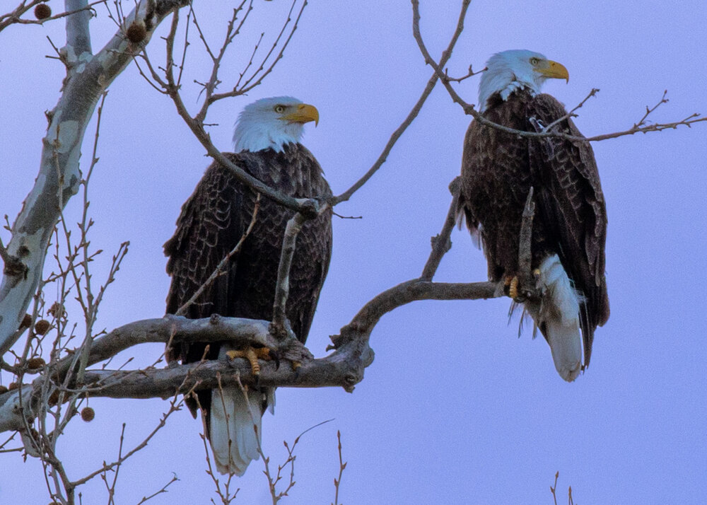
I went out to Conowingo dam today. Saw several eagles, including this pair, but none of them were feeding in my vicinity.
-
Dammnn I gotta move to Garret county.. its like another world out there!!
-
Well. Here we go. Friday night and we watching the GFS. What a life.
-
Nam going wide left just as far as Tyler loop kicking wide right
-
First Legit Storm Potential of the Season Upon Us
40/70 Benchmark replied to 40/70 Benchmark's topic in New England
I'm sure it will be negative 20 under clear skies the following week. -

First Legit Storm Potential of the Season Upon Us
vortex95 replied to 40/70 Benchmark's topic in New England
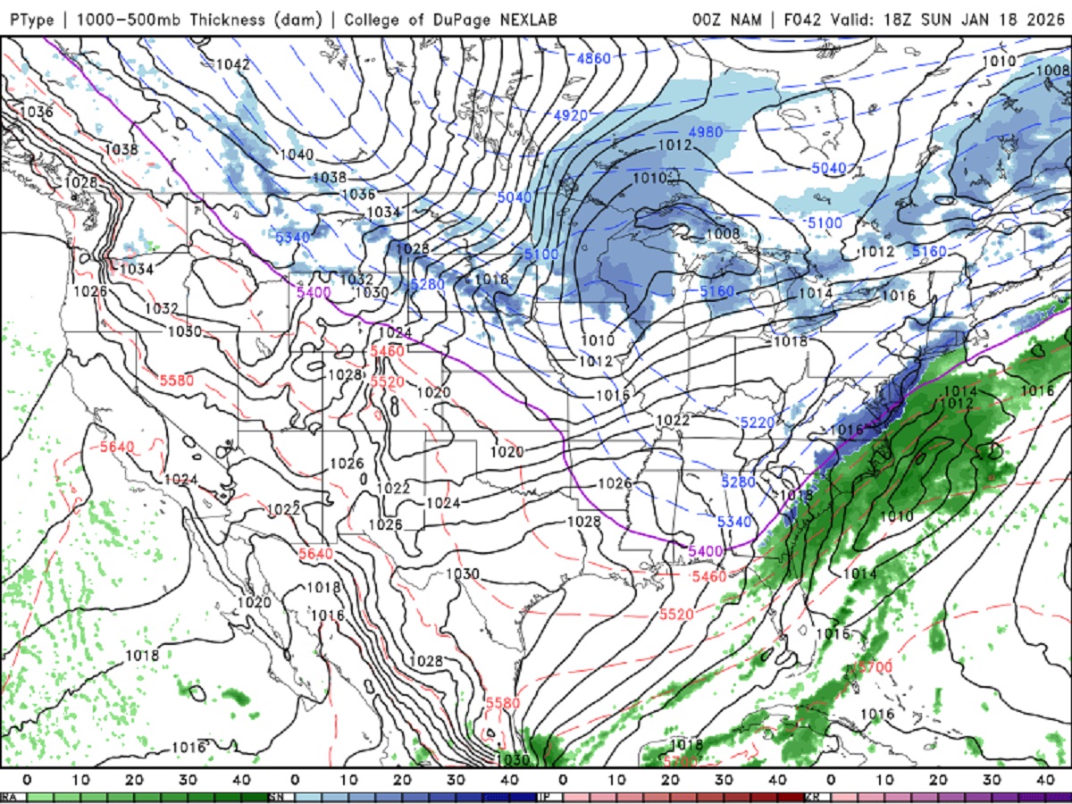
Can these stupid models make up their mind?? They have been oscillating back and forth for days w/ this system and the snow shield SE sections! What is it w/ this pattern that is making something that should be straightforward a challenge. It not like it is a monster sfc low! Oh, and the reason for the problem BL temps? Look at the 42 hr NAM sfc/pcpn fcst I attached. Um, no high pressure anywhere to N of us. Just low pressure, so no CAD! How often do you see that w/ a low pressure off the East Coast moving NE???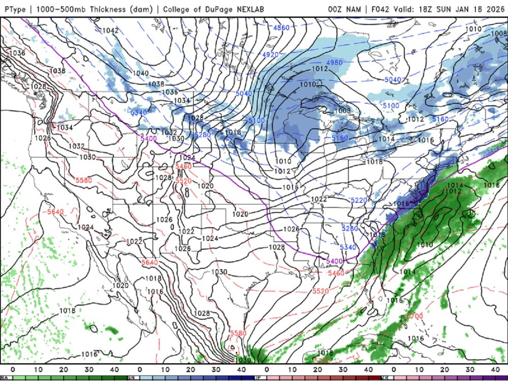
-

Winter 2025-26 Short Range Discussion
Baum replied to SchaumburgStormer's topic in Lakes/Ohio Valley
NWS Pants down again: INCLUDING THE CITIES OF LODI, SAUK CITY, WAUKESHA, PORTAGE, GRAFTON, MADISON, CEDARBURG, MILWAUKEE, MENOMONEE FALLS, DODGEVILLE, WATERTOWN, PRAIRIE DU SAC, MUSKEGO, MAYVILLE, BEAVER DAM, JEFFERSON, WEST BEND, HARTFORD, LAKE WISCONSIN, MINERAL POINT, BARABOO, WAUPUN, MEQUON, REEDSBURG, BARNEVELD, FORT ATKINSON, BROOKFIELD, GERMANTOWN, NEW BERLIN, AND COLUMBUS 809 PM CST FRI JAN 16 2026 ..WINTER WEATHER ADVISORY IN EFFECT UNTIL 9 AM CST SATURDAY * WHAT...SNOW. 1 TO 2 INCHES HAVE FALLEN AND ADDITIONAL SNOW ACCUMULATIONS OF 1 TO 3 INCHES WITH TOTALS APPROACHING 3 TO 5 INCHES OVERNIGHT INTO SATURDAY MORNING. * WHERE...PORTIONS OF SOUTH CENTRAL AND SOUTHEAST WISCONSIN. * WHEN...UNTIL 9 AM CST SATURDAY. -

First Legit Storm Potential of the Season Upon Us
dryslot replied to 40/70 Benchmark's topic in New England
Head fakes, This one seems to be just a tease, Glad i invested not much with this. -
ICON has a decent look at 180
-

Winter cancelled/uncancelled banter 25/26
WeatherGeek2025 replied to Rjay's topic in New York City Metro
bro we're getting snow what are you even blabbing about? -
Overperforming - so far - here in Garrett County. @northarlington101 brought some good juju with him. Off to Canaan to go tubing tomorrow.
-

January 16-19th: Rolling the dice
NorthArlington101 replied to SnowenOutThere's topic in Mid Atlantic
Made it up with @katabatic ! Might already have an inch on the ground or so.- 329 replies
-
- 11
-

-
Well this weekends snow is a lesson in how storm threats almost always look better when there’s significant lead time. Look at what happened to the 16th. Once we lost that, we lost the 18th for the most part. Both looked great last Saturday. Both are dead. Very easy to get caught up with the pretty colors. The devil is in the details
-
Good luck!
-
I’ll sign up for thatb
-
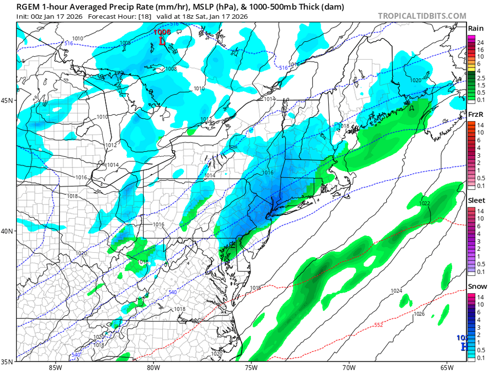
Rgem loves tomorrow more than sunday
-
Pulling me back in lol
-
Just don't look.
-
Most of short range guidance has trended NW ... even the HRW-WRF models


.thumb.JPG.418e8a9a2902ae687ec35ff4bc0e038e.JPG)


