All Activity
- Past hour
-
plenty of thunder and lightning with this cell that moved thru. woo storms!
-

2026-2027 Strong/Super El Nino
40/70 Benchmark replied to Stormchaserchuck1's topic in Weather Forecasting and Discussion
Yea, what could go wrong, went wrong that season. -
Started a June thread if anyone is interested - should start getting a handle on how the summer will turn out with the developing strong Nino - should be interesting.
-
Nino climo maps there. But agree it's likely to be a torch
-
Wed next week is a modeled soaking
-
Never too early to look ahead to next winter 26 -27
-
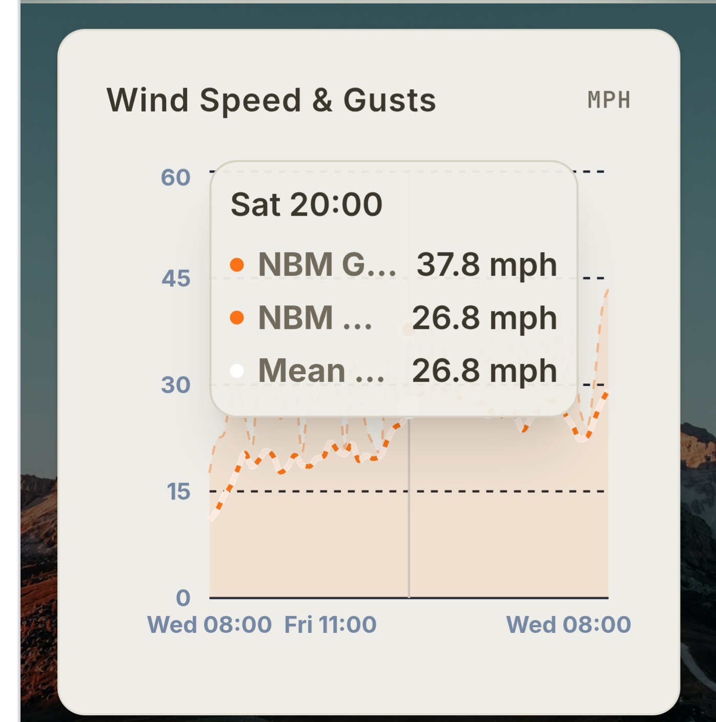
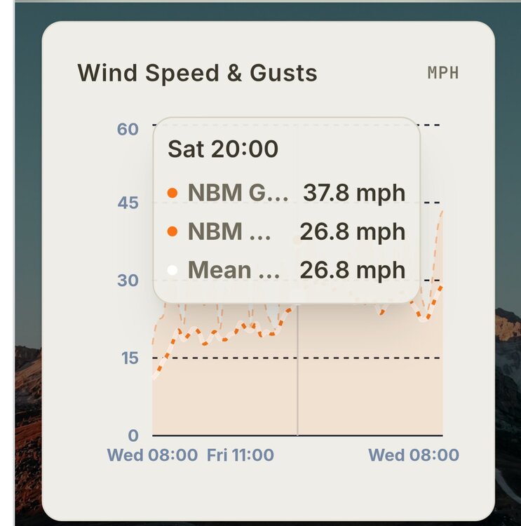
Impressive because the NBM tends to underdo wind gusts, though that may have been corrected some with v5
-
Nbm concurs Ginxweather.com
-
Faker than an SGA foul call but the season is upon us…
-

2026 Atlantic Hurricane Season
WxWatcher007 replied to Stormchaserchuck1's topic in Tropical Headquarters
Almost time for me to end my tropical hibernation lol. At the very least the SE should get come much needed rain in the coming weeks. The operational GFS is doing its usual nonsense but the ensemble signal on the GEFS/EPS should raise an eyebrow. This is a good early season test for AI models like the GDM on whether it can accurately sniff out these marginal early season signals/false alarms. -
Be happy you’re getting rain out of this thing Friday night in ENE. Most of us Steining thru day 10 with no rains
-
Is there a product out there that can sort of calculate what the ambient pressure, outside of cyclone, is ? Like not every low pressure is as impressively deep as it may look in scalar, because the surrounding medium isn't appreciably high. And vice versa. Case in point, the Feb 1978 blizzard "only" bottomed out at 992 or something - pedestrian by nor'easter cyclone depth climatology. But the 75mph sustained Boston Light winds pushing the surf into 30' seismic rollers would tend to argue that pressure well was somehow systemically deeper than 992, because the surrounding was elevated perhaps. Devil's in the deltas I'm wondering for the 1003 mb low and the 50 mph winds in a short duration ( like 4 hour window) nor'easter ...
-

2026-2027 Strong/Super El Nino
LakePaste25 replied to Stormchaserchuck1's topic in Weather Forecasting and Discussion
Pac jet came in stronger than expected in Feb 2024, which pushed the jet exit region well onshore over the western US. One of the few times we got true Nino forcing, we got too much of it. -
-
although maybe some cold pool storms early next week
-
86. Summer now, November by Saturday.
-
 It's looking like it's lasting a week max.
 -
Mostly sunny now…just some Ci 77.3°
-
Tornado warning east of Columbus OH.
-
Can't believe its looking like another dud for the first two weeks of June for my friend and I. We had done the final week of May and first week of June from like 2009 until like 2019 then didn't get together the covid year and then bumped to the first two weeks of June. We used to have pretty solid success until recently which is why we moved back a week. Well at least during my second week of vacation is when summer classes start so I guess I can use that to try and work ahead
-

2026-2027 Strong/Super El Nino
michsnowfreak replied to Stormchaserchuck1's topic in Weather Forecasting and Discussion
Exactly. The mean winter temp departures were very impressive considering it was all Dec/Feb. January was a decent winter month. -

Central PA Spring 2026 Discussion/Obs Thread
Superstorm replied to Voyager's topic in Upstate New York/Pennsylvania
Picked up 0.55” of rain so far today in Lancaster. Now 4.07” for month. . -
What a wonderful winter season it was.
-
I like the NAM gust 50 Saturday afternoon with attempts in the 40s. That’s cute.
-
Yeah, I hear ya, you hope we can get one of those 20 C 850 plumes from that direction. I’m not sure that’s the best direction for big heat not really a Sonoran heat connection but I suppose it’s possible. Probably will be a dry heat too. We shall see. Just not sold it on anything more than a day or two.