snowlover2
-
Posts
2,739 -
Joined
-
Last visited
About snowlover2

- Birthday July 30
-
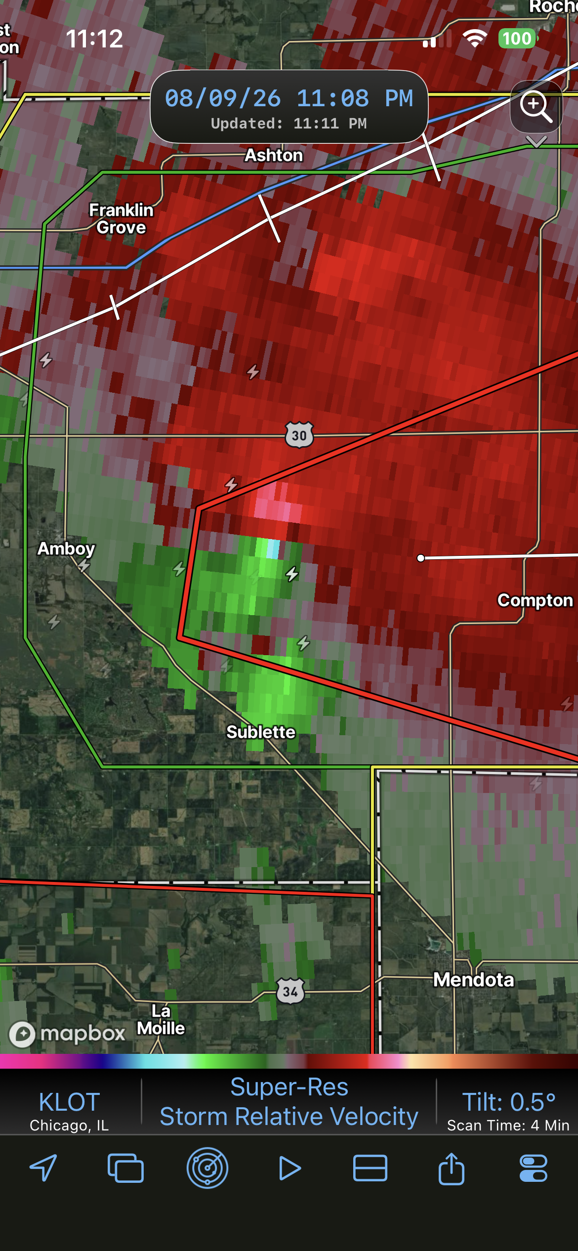
PDS tornado warning NE of Streator.
-
Confirmed near Sublette.
-
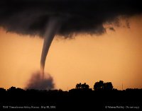
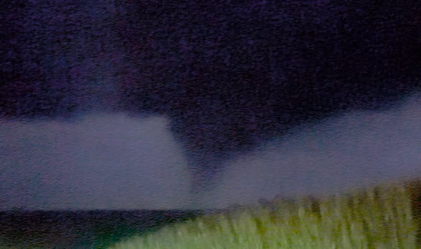
From Reed Timmer of that tornado.
-
Spotter confirmed. Severe Weather Statement National Weather Service Quad Cities IA/IL 904 PM CDT Sun Aug 9 2026 ILC011-073-100245- /O.CON.KDVN.TO.W.0077.000000T0000Z-260810T0245Z/ Henry IL-Bureau IL- 904 PM CDT Sun Aug 9 2026 ...A TORNADO WARNING REMAINS IN EFFECT UNTIL 945 PM CDT FOR EAST CENTRAL HENRY AND WEST CENTRAL BUREAU COUNTIES... At 903 PM CDT, a confirmed large and extremely dangerous tornado was located over Johnson-Sauk Trail State Park, or 8 miles north of Kewanee, moving northeast at 25 mph. This is a PARTICULARLY DANGEROUS SITUATION. TAKE COVER NOW! HAZARD...Damaging tornado. SOURCE...Weather spotters confirmed tornado. IMPACT...You are in a life-threatening situation. Flying debris may be deadly to those caught without shelter. Mobile homes will be destroyed. Considerable damage to homes, businesses, and vehicles is likely and complete destruction is possible. The tornado will be near... Sheffield, Buda, and Mineral around 910 PM CDT. This also includes Hennepin Canal State Trail, Johnson-Sauk Trail State Recreation Area, and Mautino State Fish & Wildlife Area. This includes Interstate 80 in Illinois between mile markers 35 and 47. PRECAUTIONARY/PREPAREDNESS ACTIONS... To repeat, a large, extremely dangerous and potentially deadly tornado is on the ground. To protect your life, TAKE COVER NOW! Move to a basement or an interior room on the lowest floor of a sturdy building. Avoid windows. If you are outdoors, in a mobile home, or in a vehicle, move to the closest substantial shelter and protect yourself from flying debris. Tornadoes are extremely difficult to see and confirm at night. Do not wait to see or hear the tornado. TAKE COVER NOW! && LAT...LON 4132 8994 4136 8995 4139 8996 4144 8965 4129 8960 TIME...MOT...LOC 0203Z 247DEG 23KT 4136 8988 TORNADO...OBSERVED TORNADO DAMAGE THREAT...CONSIDERABLE MAX HAIL SIZE...1.25 IN
-
2 tornado warnings west of Dayton.
-
Tornado warning for Indy.
-
Tornado warning east of Columbus OH.
-
Expanded the slight south across much of IL/IN/OH because of this.
-
 snowlover2 changed their profile photo
 -
2025 Short Range Severe Weather Discussion
snowlover2 replied to Chicago Storm's topic in Lakes/Ohio Valley
Tornado warning for Springfield OH. -
My condolences to you and your family. I also have a message from a former mod from the Lakes/Ohio Valley forum. So sorry to hear the news of jburns' passing. He was a good poster, but seemingly an even better person. It was a pleasure being on the staff with him for a number of years. From beginning to end, he was never anything but kind to me in our public and private interactions. My thoughts and prayers are with the family during this difficult time. He will be missed by many people! Though he is gone, he will never be forgotten. May he rest in peace.
-
May 17th-20th severe weather discussion
snowlover2 replied to Chinook's topic in Central/Western States
Tornado Warning KSC097-190330- /O.NEW.KDDC.TO.W.0009.250519T0248Z-250519T0330Z/ BULLETIN - EAS ACTIVATION REQUESTED Tornado Warning National Weather Service Dodge City KS 948 PM CDT Sun May 18 2025 ...TORNADO EMERGENCY FOR GREENSBURG... The National Weather Service in Dodge City has issued a * Tornado Warning for... Northeastern Kiowa County in south central Kansas... * Until 1030 PM CDT. * At 947 PM CDT, a confirmed large and destructive tornado was observed near Greensburg, moving northeast at 30 mph. TORNADO EMERGENCY for GREENSBURG. This is a PARTICULARLY DANGEROUS SITUATION. TAKE COVER NOW! HAZARD...Deadly tornado. SOURCE...Weather spotters confirmed tornado. IMPACT...You are in a life-threatening situation. Flying debris may be deadly to those caught without shelter. Mobile homes will be destroyed. Considerable damage to homes, businesses, and vehicles is likely and complete destruction is possible. * The tornado will be near... Greensburg around 955 PM CDT. PRECAUTIONARY/PREPAREDNESS ACTIONS... To repeat, a large, extremely dangerous and potentially deadly tornado is ongoing. To protect your life, TAKE COVER NOW! Move to an interior room on the lowest floor of a sturdy building. Avoid windows. If in a mobile home, a vehicle or outdoors.. Move to the closest substantial shelter and protect yourself from flying debris. Tornadoes are extremely difficult to see and confirm at night. Do not wait to see or hear the tornado. TAKE COVER NOW! && LAT...LON 3751 9939 3773 9932 3767 9904 3749 9928 TIME...MOT...LOC 0247Z 221DEG 25KT 3753 9931 TORNADO...OBSERVED TORNADO DAMAGE THREAT...CATASTROPHIC MAX HAIL SIZE...2.00 IN -
4/2-4/3 Potential Major Severe WX Outbreak
snowlover2 replied to Geoboy645's topic in Lakes/Ohio Valley
PDS tornado warning SW of St. Louis. -
Confirmed now.
-
Peoria under a tornado warning. There was a confirmed SW of there.