All Activity
- Past hour
-
The only times I can think of when can kicking actually worked was the big pattern change in late January 2015 and the big pattern change in late January 2021 after a mild month. Aside from that, can kicking has almost never worked. That being said, a cold and snowy December in NYC usually correlates to this entire forum doing well later on in the season. If we don't, then this will indeed be very rare territory. History is almost always on our side after having a cold, snowy december. Hopefully that pans out for us this time as well
-
Hey I'm digging that 70F high temp on jan-10th though!
-
Thats what happened with the upcoming pattern in the first 2 weeks. People were calling for a huge storm due to the retrogading block but thats not going to happen. Thats what happened last winter also.
-
SW US is getting active after having a very mild December. Not sure what that means further east, but something to keep an eye on.
-
I think we can take 13-14 analog off the table
-
No, it’s definitely not lol
-
Yeah rain in International Falls MN isn't a great sign for us
-
Don’t do this to yourself - you know better my man. We can’t always just kick the can down the road. I’m not at all saying we won’t see some snow second week but to keep talking about the ripe patterns that haven’t produced anything in several years is the definition of insanity. wishing everyone a happy and hopefully snowy new year!
-
I still think we are right on track for right around Jan 12. I would not be surprised to see it speed up or be delayed by a day or two. I also think we will have some minor chances prior. Models have not been great w/ details or seeing cold fronts this year. They flip around a lot. We go through the same thing every year with the same complaints. Sometimes models are simply too quick with the pattern change. They also really struggle with the NAO. Let us not forget they lost the pattern change in early December only to add it right back after 2-3 days when the pattern emerged from the 5-7 window where things get lost. I am not saying that happens this time, but it is worth considering. And no Icy, the pattern is not 16 days out...but I think you know that. There are no guarantees, but roughly timed, the EPO starts to build on the 8th-9th. The 12z AIFGFS(admittedly not an overly reliable model) has the beginning of the pattern change inside of 240 hours. In fact, I can make a pretty good argument the pattern change is underway now w/ the big -NAO which "should" retrograde into the EPO block. In my mind, we lost a 1-2 cold fronts in the pattern w/ the cold sliding to our north. Phase 6? Maybe and sure looks like it. The 12z GFS also has the ridge building into the eastern PAC around Jan 8th as well. I was showing maps last night, because quite frankly...I was trying to stay awake which I halfway noted....turn and burn to Knoxville. As noted the GFS (which has been truly awful this winter) had some phase 6 stuff yesterday. I haven't looked today. MJO plots at CPC have been largely unreliable this winter as the MJO has just flatlined. The driver going forward is likely HL blocking, but there will be a likely transition in order to get to that point. The biggest thing is to watch the 500 pattern and see if the EPO ridge keeps moving forward in time. If it does, models should trend colder. It looks to me like we are going to have to roll one ridge through the eastern pattern from Jan5-8th. I will check back in a bit. We rolled in last night at 3:00AM. Just catching up.
-

January 2026 regional war/obs/disco thread
WinterWolf replied to Baroclinic Zone's topic in New England
Im Not worried…modeling out past 8 days isn’t very reliable period. Gonna snow some tonight here..snow on snow. Could be a lot worse. -
It’s about as bad of a run as it gets for early Jan. 2014 and 15 were mostly backloaded winters even though it was chilly from start to finish, which seems to be where things are headed as a best case scenario.
-
Close the shades until the second week of January when the EPO goes negative.
-
Is that Tug Hill?
-
Yep this is done. It was a longshot.
-
Looks like we might have to close the shades for next week until the EPO goes negative. Then we have to hope the NAO also doesnt go super negative which would mean congrats mid atlantic.
-
Haha. You are lucky I was posting maps at midnight to begin with. I normally don't do the (model) night shift. You're welcome. They are free, so you get what you pay for around midnight......
-
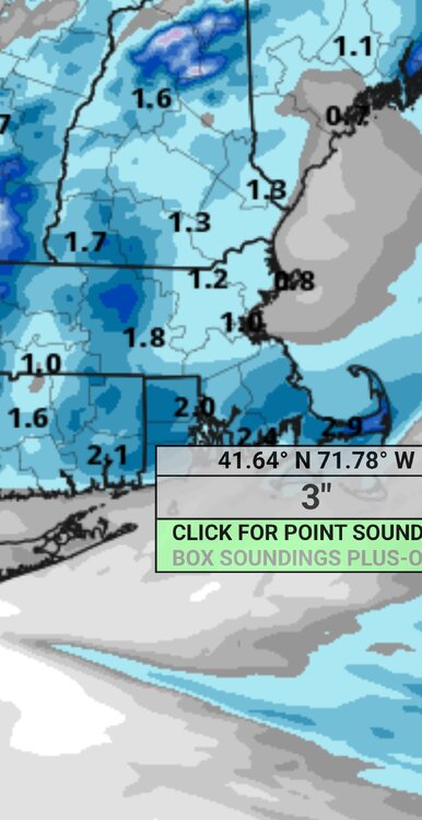
1.7" of fluff here. 1-2" across the area. Snow showers today with dropping temps.
-

New Years Day 2026 - 1st snows of the new year possible
Ginx snewx replied to Baroclinic Zone's topic in New England
Everytime some one says this we whiff.We hope -
January 2026 regional war/obs/disco thread
WinterWolf replied to Baroclinic Zone's topic in New England
Oh for sure…100% we will. Murphy’s law. -
New Years Day 2026 - 1st snows of the new year possible
Ginx snewx replied to Baroclinic Zone's topic in New England
-

January 2026 regional war/obs/disco thread
ORH_wxman replied to Baroclinic Zone's topic in New England
It’s really too bad we couldn’t amplify the western ridge for Monday to send that northern stream vort further west and south because it would partially phase with that southern stream entity near Carolinas and probably produce a huge coastal. Im sure we will amplify the western ridge though just enough to cut a storm to our west when we don’t want it later this winter. -
Very exciting.... Pattern is ripe for storms and rumors of storms
-
He's been honking the 1985 thing since 1986.
-
January 2026 regional war/obs/disco thread
WinterWolf replied to Baroclinic Zone's topic in New England
Only the current normal…as is always the case with the atmosphere. Couldn’t buy a clipper for years…was that the new normal too? Now we can’t stop them lol. Carry on. -

E PA/NJ/DE Winter 2025-26 Obs/Discussion
KamuSnow replied to LVblizzard's topic in Philadelphia Region
I'm impressed he didn't use the word "patience", lol.


