FXWX
-
Posts
1,431 -
Joined
-
Last visited
Content Type
Profiles
Blogs
Forums
American Weather
Media Demo
Store
Gallery
Everything posted by FXWX
-
Makes perfect sense since they both ended up in the Mid-Atlantic!
-
I think the 18z was ready early this evening Will be interesting to see how quickly Ncep releases it starting on 17th?
-
Probably late to the news but didn't know Polar Wx added new AI-GFS; GraphCast - GFS model, and the NOAA version goes operational Dec. 17th... Its 18z run looks similar to Euro products for Sunday... Link below... https://t.co/ckQkMydRHT
-

-
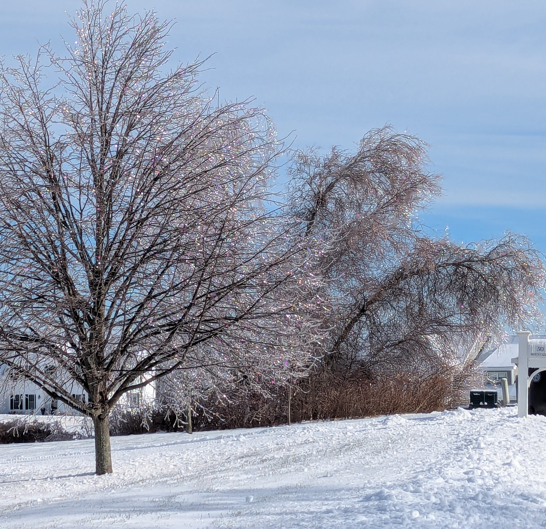
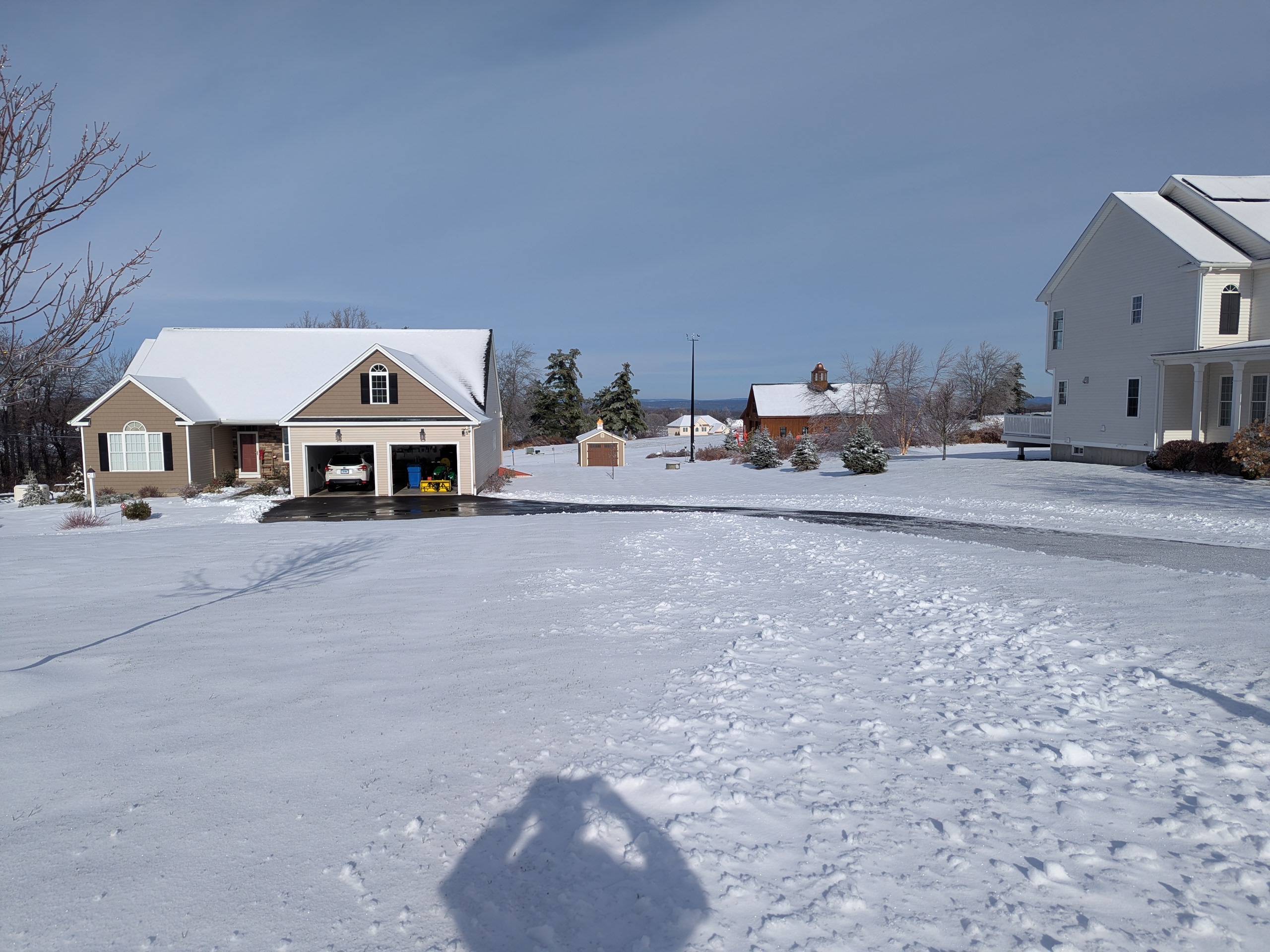
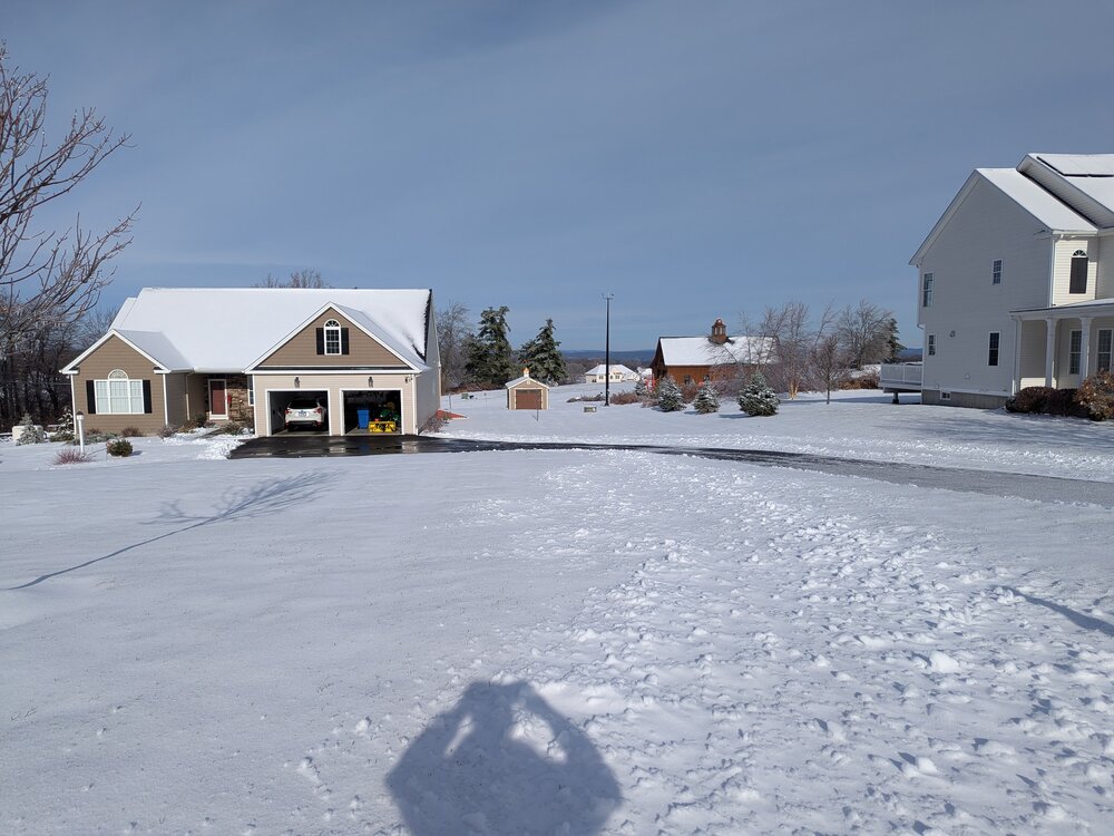
PXL_20251203_152703838.RAW-02.ORIGINAL.dngPXL_20251203_152703838.RAW-02.ORIGINAL.dngPXL_20251203_152703838.RAW-02.ORIGINAL.dngPXL_20251203_152703838.RAW-02.ORIGINAL.dngNice early winter look from the high terrain areas of Burlington CT; on the Litchfield \ Hartford County border!
-
Ended with 4" here. Coating up with ice now
-
Come on, strap those big pants on... Mod/Hvy snow here... warming across western Fairfield county has been tedious with solid snow band there...
-
Keep posting your obs... very useful for me
-

First Winter Storm to kickoff 2025-26 Winter season
FXWX replied to Baroclinic Zone's topic in New England
Crazy things known to happen in Lit Cty... lol -
First Winter Storm to kickoff 2025-26 Winter season
FXWX replied to Baroclinic Zone's topic in New England
Low confidence for your area... could be sharp gradient across short distances??? I would not give up hope yet for low-end warning levels? -
What could go wrong using terms like "most extreme" and "shocking"!
-
First Winter Storm to kickoff 2025-26 Winter season
FXWX replied to Baroclinic Zone's topic in New England
It's a tough forecast for NW CT... crazy snow gradient possible -
First Winter Storm to kickoff 2025-26 Winter season
FXWX replied to Baroclinic Zone's topic in New England
No one is listening! -
First Winter Storm to kickoff 2025-26 Winter season
FXWX replied to Baroclinic Zone's topic in New England
Yes... There is a link to a version that shows amounts as you mouse over the map... -
First Winter Storm to kickoff 2025-26 Winter season
FXWX replied to Baroclinic Zone's topic in New England
Don't dismiss the possibility that interior districts cancel? This day and age many Supts hate dismissing during an ongoing snowfall? If it's going to start snowing during or shortly after the commuting period, and it's going to continue through the afternoon, many will bail. -
First Winter Storm to kickoff 2025-26 Winter season
FXWX replied to Baroclinic Zone's topic in New England
Which has almost become the norm 4 to 5 days out. -
I do think breaks are coming but there are always going to be MBY screw jobs. And the reality is eastern Mass and the I-95 corridor from sw CT north is always chancy even in a good pattern....
-
You might be on to something!
-
Calling this a bullshit pattern on Dec. 2 is pretty funny... Multiple mixture threats for at least interior SNE at this time of the year fine with me in terms of transitioning into winter.
-
Yes... I agree, the look of vort max and its progged track is not one screaming suppression? At least not yet. Its trend (vort max) moving forward is something to watch closely over the next few runs. Nice to see a post focusing on a forecasting issue.
-
That's what I'm thinking... A little bit of both, which adds to the complexity! Fun times ahead... I just hope folks enjoy the action and don't get overly hung up and only MBY outcomes.
-
Yep... There are always going to be folks complaining about a particular event due to their own backyard outcome, but it's nice having a base pattern that will give trackable events for much of December...
-
Given today's trends, the non-event option seems to be fading fast; final outcome still dependent upon some finer points that will take another 3 days or so to resolve; degree of confluence across southeastern; strength of retreating high, any -nao assist, strength of low-level temp gradient etc... like most SWFE events interior is favored, but current trends suggest to me front end dump potential could be decent on the coastal plain as well??? No matter how this first one plays out, it could help improve the setup for events that follow?
-
Yep... Agree
-
Agree... You can't be blamed for being gun shy... Lots of screw jobs over the past few years. That being said, I think optimism is warranted... Since we will be dealing with mainly SWFEs, it would be nice to get some secondary, even weak, lows running out under SNE? I am certainly going to stay conservative, especially SOP, in the short term. Would love to see the pattern morp into one favoring coastal as we move into the heart of the winter; very late Dec onward. For now, Midwest track favored with SWFE causing our main action... Missing out on early December snows doesn't really bother me; I'm just looking for favorable pattern trends. Liking fact 40/70 is bullish in general.