FXWX
-
Posts
1,440 -
Joined
-
Last visited
Content Type
Profiles
Blogs
Forums
American Weather
Media Demo
Store
Gallery
Everything posted by FXWX
-
1000% agree... I mentioned yesterday how negativity seems to overwhelm even when a good old fashioned storm develops!
-
This where happiness goes to die... We have been praying for several years for an active deep winter pattern! Now we get one and lots of folks look for any reason to complain... Quite remarkable actually...
-
Remember it well! Obviously different modeling capabilities back then, but there was high confidence that suppression would keep it south with an almost due east deflection... Hours away from huge SNE hit; forecasts were confident of a miss except on the coastal plain.
-

Another Coating of Snow Saturday - "It's all we Got"
FXWX replied to Sey-Mour Snow's topic in New England
Great job on the roads... lol -
Another Coating of Snow Saturday - "It's all we Got"
FXWX replied to Sey-Mour Snow's topic in New England
I had bet on best shot at 4" in northern Litchfield county with my area nudging 3"... Definitely over performed... -
Another Coating of Snow Saturday - "It's all we Got"
FXWX replied to Sey-Mour Snow's topic in New England
Total for the day right now is 5.0; elevation ~1,200' -
Another Coating of Snow Saturday - "It's all we Got"
FXWX replied to Sey-Mour Snow's topic in New England
An additional 3 here in the last 2 hours... puking snow -
Another Coating of Snow Saturday - "It's all we Got"
FXWX replied to Sey-Mour Snow's topic in New England
Your area looked like the best shot for 4" in CT... sitting at 3" in Burlington with moderate snow... -
Another Coating of Snow Saturday - "It's all we Got"
FXWX replied to Sey-Mour Snow's topic in New England
They are... solid in Burlington with 3 on the ground -
There's nothing wrong with fantasizing while watching weather porn! At least that's what my therapist says.
-
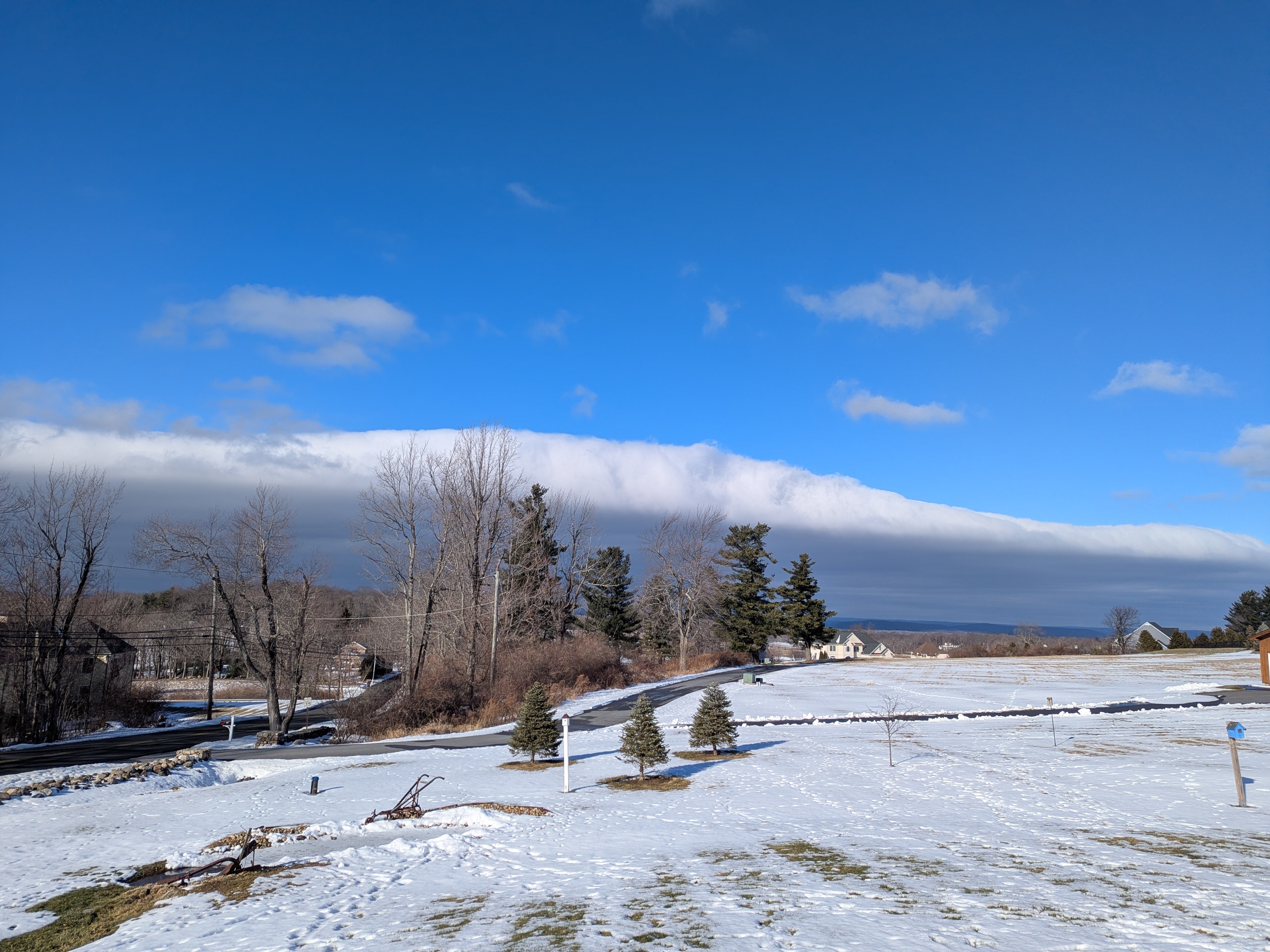
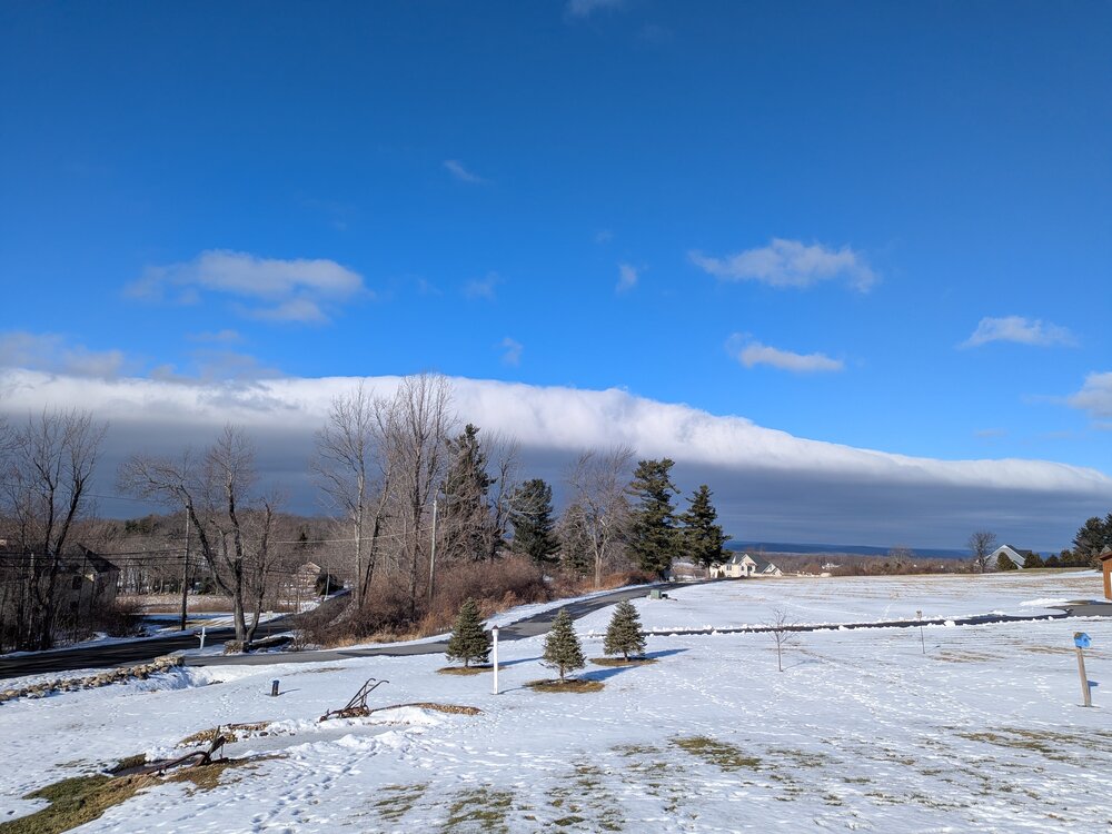
Roll cloud action in Burlington CT! PXL_20260108_181252868.RAW-02.ORIGINAL.dng
-
There certainly was! It was fine to discuss the potential as long it was it was kept in the perspective of a long range modeling prediction, and not one that was a lock to happen. And yes, 40's, 50's and even a 60 degree highs were chatted about by many folks. Why deny it... It was discussed and now reality appears to be setting that the high end warming was way overdone... Just another reason to take long lead modeling outcomes with many grains of salt. Fun to chat about but taking it verbatim will often get you burned.
-
Wonderful... I may need one soon
-
Good luck Steve... How was your recovery / PT from your first knee op? I hear it can be tough?
-
Thanks Tip... I fully understand the spacing issue with respect to the isohypses controlling the overall speed; the tighter the speed gradient (so to speak) the faster the flow; also I get the suppression process. What I was inquiring about is do you just scan the isohypses spacing, or do you look for a specific gradient value, if you get my drift? Have you come across any papers discussing the increasing speed / shear issue; compared to years or decades ago?
-
Hey Tip... Happy NY... When you say "a speed surplus problem on GFS" how are you determining that?
-
Couple appears off the table...
-
Costed up here...
-
New Years Day 2026 - 1st snows of the new year possible
FXWX replied to Baroclinic Zone's topic in New England
3.5 for Burlington., CT -
New Years Day 2026 - 1st snows of the new year possible
FXWX replied to Baroclinic Zone's topic in New England
Great Squall event, and in my opinion wonderfully modeled... -
I actually prefer this look to a massive almost stationary anomalous block... Massive blocks are often associated with suppression issues? Most big dog events are within -/+ NAO transitions, anyways. All in all, I'm good playing tag with offshore ridge.
-
Good reminder to folks that it's more than the pretty colors. While this may well evolve into a significant block, as you note, the current depiction of that upper height field does not qualify as a block; at least not yet.
-
Snow cover decreased, but not destroyed in the Johnnycake mountain area of Burlington CT; sunset rays doing a great job of illuminating the neighborhood houses...

-
Absolutely no need for those conditions... Terrible DPW management!
-
Need to be wary... Moderate / heavy rainfall rates are a negative for big accreation... Significant icing for sure (0.5"), from what I can tell much of the qpf occurs during a relative short period of time. In this setup 0.75 to 1.00 qpf does not equate to 0.75 to 1.0 inches of ice...