FXWX
-
Posts
1,444 -
Joined
-
Last visited
Content Type
Profiles
Blogs
Forums
American Weather
Media Demo
Store
Gallery
Everything posted by FXWX
-
Let's go for it and jump directly to May!
-
Radar would have suggested a few inches across CT over the past 6 hours, but in reality, NADA...
-
Lots of virga or at least intensity levels much less than implied by radar in this area...
-
You can miss it when you accidently click on 2002-2003 instead of 2022-2023... lol Also, a function of trying to concentrate on writing reports after 8 PM! My apologies... As always, nice work...
-
Working on a weather analysis for the late Feb to early March 2023... Checked out your site, but did not see a map for a Feb. 27-28, 2023 event; appears to have been widespread 4 to 6 inch amounts across FF and NH counties in CT...
-
Here's mine a few minutes ago.

-
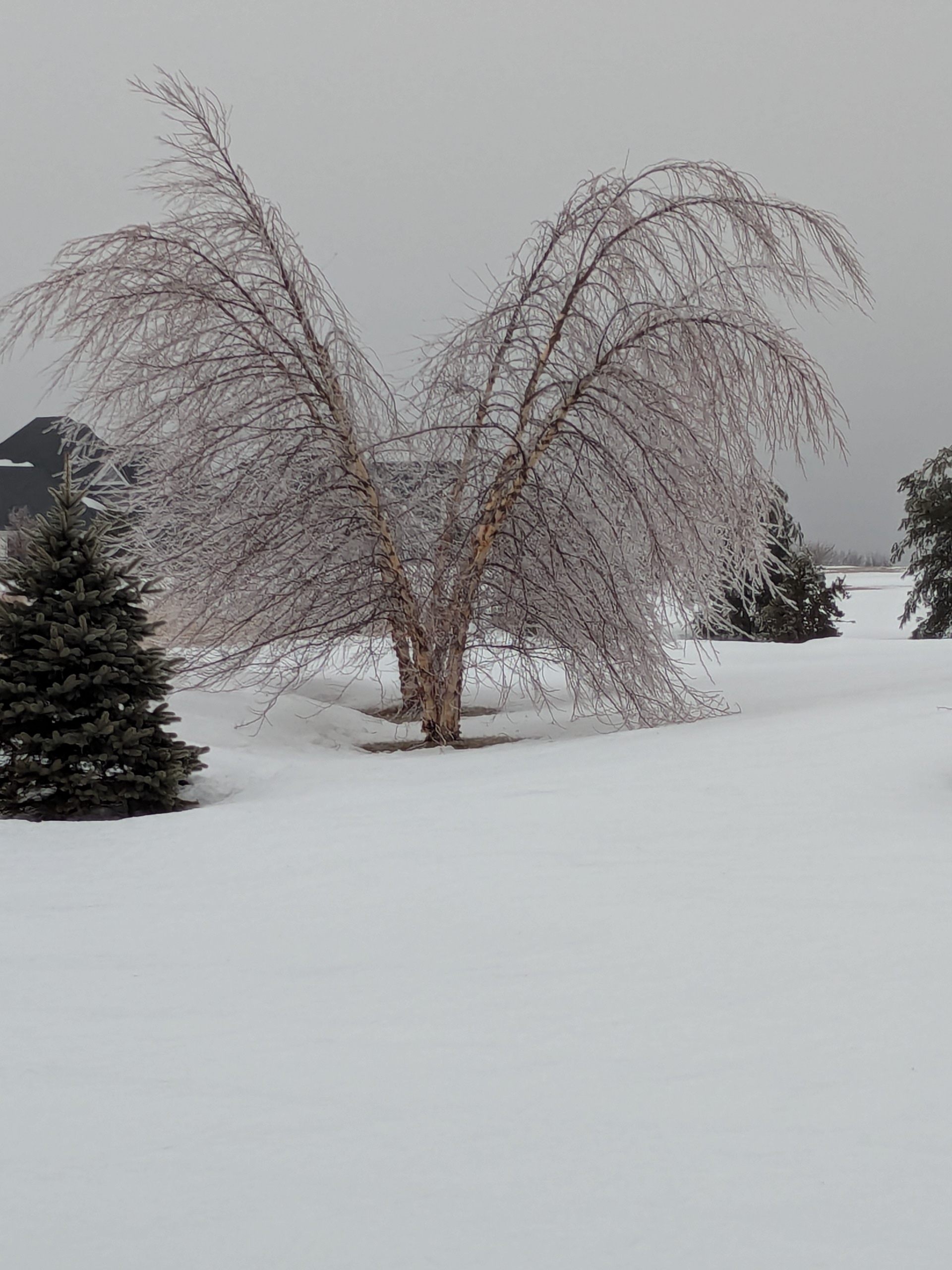
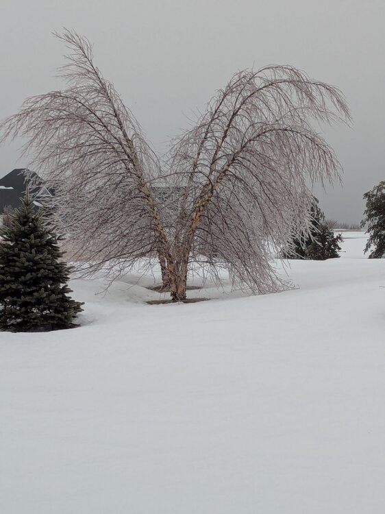
Still lots of ice on the hill in Burlington CT...
-
Absolutely... The old timers knew that... Some of new crews are just figuring that out...
-
Had local reports of cars sliding out of their driveways into the street overnight with no one in the cars!!!
-
Lots of half day and parent conf schedules in play... just adds more uncertainty to the decision... Nothing would surprise me... holding conference calls with 92 districts at 4 am should be fun... Lol... I'm betting lots of cancellations due to uncertainties of onset timing, and likelihood low-level cold is a bit more stubborn than modeled... Most towns need 90 minutes to 2 hours for a full bus routine???
-
Oh yes, they will! Last Wednesday chaos was avoidable; the option to delay and reassess was there and quite a few districts went that route... it was the ones that challenged the onset snow with a regular start that led to all the issues...
-
I'm betting on lots of cancellations after the chaos of last Wednesday... Already getting inquires that suggest there is little stomach to try to challenge the timing; especially for interior CT...
-
Has a Season to Date snow totals map been posted yet? Looking for a total for anyone in the Bristol, CT area?
-

"Don’t do it" 2026 Blizzard obs, updates and pictures.
FXWX replied to Ginx snewx's topic in New England
Thanks much -
"Don’t do it" 2026 Blizzard obs, updates and pictures.
FXWX replied to Ginx snewx's topic in New England
Piles on my street...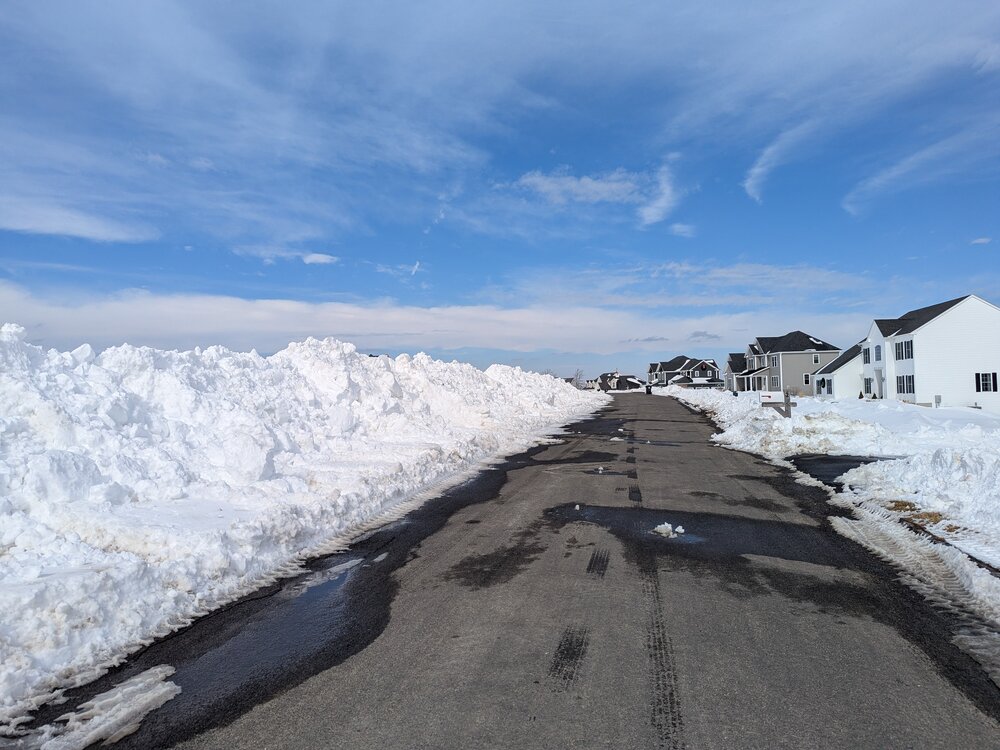
-
"Don’t do it" 2026 Blizzard obs, updates and pictures.
FXWX replied to Ginx snewx's topic in New England
Do you have a seasonal total to date for either Southbury, Newtown or Woodbury? -
Looking season to date totals, if anyone has them, for 3 CT locations; Southbury, Woodbury and Newtown... Thanks in advance...
-
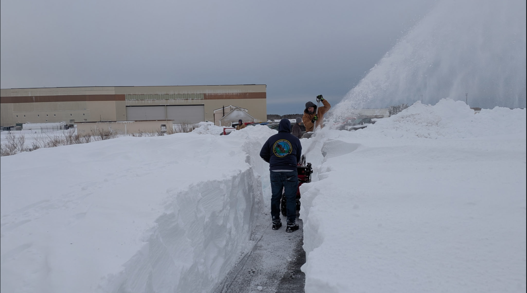
My son-in-law's first day back at Otis Airport Coast Guard station Falmouth!

- 267 replies
-
- 15
-

-

-

-
Clipper Fires In Wednesday Feb 25 Disco/ Obs
FXWX replied to Damage In Tolland's topic in New England
Yearly fee... They used to only be interested in winter weather... But now ask for consultation during all outdoor events, including concerts, graduations, field days, sporting events etc, any disruptive weather event that could impact travel, lightning threats, etc... -
Clipper Fires In Wednesday Feb 25 Disco/ Obs
FXWX replied to Damage In Tolland's topic in New England
I don't make the decision, I just layout the options... and there was a very good one available... -
Clipper Fires In Wednesday Feb 25 Disco/ Obs
FXWX replied to Damage In Tolland's topic in New England
You should try it... Lots of fun... Lol -
Clipper Fires In Wednesday Feb 25 Disco/ Obs
FXWX replied to Damage In Tolland's topic in New England
That's exactly how he wanted to play it when I communicated with him late in the day Tuesday. -
Clipper Fires In Wednesday Feb 25 Disco/ Obs
FXWX replied to Damage In Tolland's topic in New England
There wasn't! The time frame was predicted perfectly. I should know since I'm the guy they conferenced with at 4 am. The arrival time was always prior to commuting period! The intensity level certainly did exceed expectations, but snow during the commuting period was never in question. Any that's why the option for a delay with a reassessment after onset was discussed. -
Clipper Fires In Wednesday Feb 25 Disco/ Obs
FXWX replied to Damage In Tolland's topic in New England
So much I can say, but will not... But a period of snow was always forecast to fall during the commuting period... Whenever that is going to occur, the best option is to delay and then reassess. There were some districts that announced the delay and reassessment routine Tuesday evening. -
Clipper Fires In Wednesday Feb 25 Disco/ Obs
FXWX replied to Damage In Tolland's topic in New England
The rapid increase in intensity as it moved into far western CT was the real issue. It was tied to a strong 850 / 700 mb warm advection process. It showed up on the spc meso analysis page, but there was low confidence it would materialize. Instead of getting 2+ inches in 5 hours we got it in an hour and a half to 2 hours. That's why I thought the best play for schools was long delay with reassessment as it showed itself more clearly. We get one of these snow ramp ups during the drive period once a winter.