FXWX
-
Posts
1,444 -
Joined
-
Last visited
Content Type
Profiles
Blogs
Forums
American Weather
Media Demo
Store
Gallery
Everything posted by FXWX
-

Clipper Fires In Wednesday Feb 25 Disco/ Obs
FXWX replied to Damage In Tolland's topic in New England
Interesting? Bottom line it is always about safety; always lots of different opinions about how to interpret a forecast? I have districts that are going to do long delay and then check in with DPW to see how roads are responding to scraping and treatments. If the feedback is positive, stick with delay; if feedback is negative due snowfall intensity and road conditions, pull the plug. -
Clipper Fires In Wednesday Feb 25 Disco/ Obs
FXWX replied to Damage In Tolland's topic in New England
It flips around too much for my liking. Too many Big run to run changes; if 0z mesos follow suite then I would take note. -
Clipper Fires In Wednesday Feb 25 Disco/ Obs
FXWX replied to Damage In Tolland's topic in New England
Not shocked given some ongoing issues in that area. I do think 3 inches is the possible, but I have stayed under that other than indicating spotty areas; yet to be determined. Odd they used wording of heavy band of snow... They are one of my clients and I did not use the term heavy nor 3"expected. Concerns over ongoing road issues and a period accumulating snow; certainly! Enjoy the time with the rugrats, can never get enough time with the little ones. -
Clipper Fires In Wednesday Feb 25 Disco/ Obs
FXWX replied to Damage In Tolland's topic in New England
Some areas a certainly still a concern; your area in particular... -
Clipper Fires In Wednesday Feb 25 Disco/ Obs
FXWX replied to Damage In Tolland's topic in New England
could be... worth reconsideration early tomorrow... I never recommend what to do... but will voice my opinion about the current forecast trends, and how I expect roads to behave during the mid / late morning period... Litchfield county may over-perform... Considering a long delay to reassess is certainly a good option... as long as parent are ready to react, which is a huge issue... -
Clipper Fires In Wednesday Feb 25 Disco/ Obs
FXWX replied to Damage In Tolland's topic in New England
Their plan is to call a delay and see what road crews think around 9 am... if things are trending well on roads, then you go in... I do like their call.. -
Clipper Fires In Wednesday Feb 25 Disco/ Obs
FXWX replied to Damage In Tolland's topic in New England
Its almost always about the timing... If it is snowing during bus travel time, the vast majority of the districts will cancel... Although tomorrow, there may be a move to long delays to allow for any scraping and treatment routines to have run their course; given the lightness of the event... at least that is what I am hearing??? -
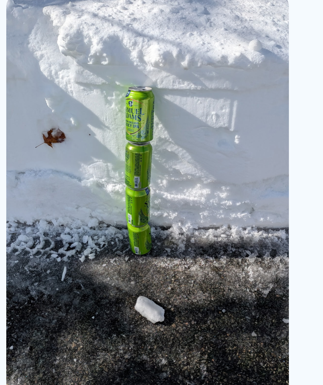
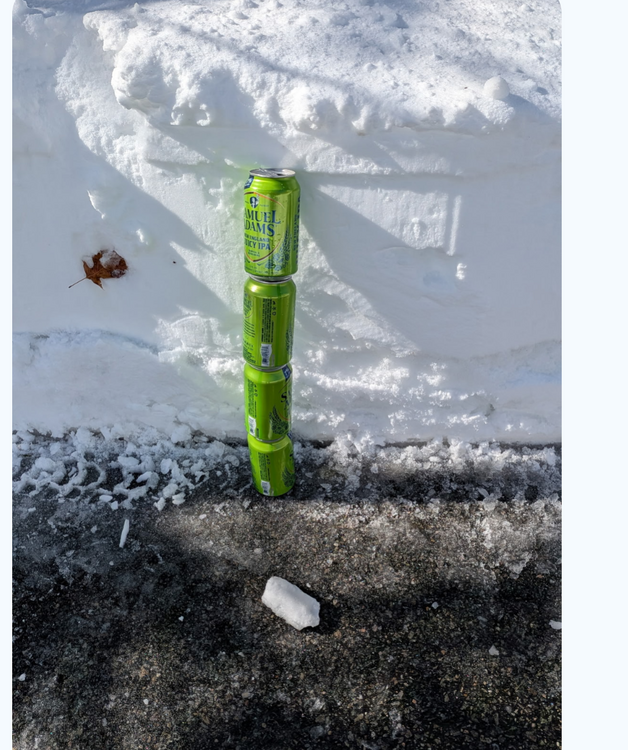
Son-in-law's measurement in Mashpee on the Cape is at least 5 beer cans deep.
-
"Don’t do it" 2026 Blizzard obs, updates and pictures.
FXWX replied to Ginx snewx's topic in New England
For Burlington 16.0 will do it -
"Don’t do it" 2026 Blizzard obs, updates and pictures.
FXWX replied to Ginx snewx's topic in New England
Yes... Long running snow cover, even weeks between major storm events; no truly record setting cold intrusions, but consistently colder than normal; making for the coldest winter in years; one last thing about this storm; it proves once again the incredible role meso scale banding plays in out big events; and always finds away to get further west of the CRV than modeled. -
"Don’t do it" 2026 Blizzard obs, updates and pictures.
FXWX replied to Ginx snewx's topic in New England
Not out of the question... just imagine if we had not been screwed 2 times after the Jan 25-26 event??? -
"Don’t do it" 2026 Blizzard obs, updates and pictures.
FXWX replied to Ginx snewx's topic in New England
Yes... -
Certainly not your run of the mill major event... Easily a Kocin storm... My daughter on the Cape has been told this will be long duration, multi-day power outage!
-
"Don’t do it" 2026 Blizzard obs, updates and pictures.
FXWX replied to Ginx snewx's topic in New England
Just hit 58 mph here; ~1,200' -
"Don’t do it" 2026 Blizzard obs, updates and pictures.
FXWX replied to Ginx snewx's topic in New England
Pole and wires down in Burlington CT -
"Don’t do it" 2026 Blizzard obs, updates and pictures.
FXWX replied to Ginx snewx's topic in New England
Zero chance of measuring snow accurately at my house... -
"Don’t do it" 2026 Blizzard obs, updates and pictures.
FXWX replied to Ginx snewx's topic in New England
54 mph gust here just now -
Yes... 2 years ago we had folks dying in their cars or trying to walk to safety during the well predicted Christmas week western NY snow bliz... The historic western NC flooding from Helene was incredibly well predicted, but folks decided to stay! Even the tragic TX bible camp flooding was well predicted and warned, but adults did not react appropriately! Forecasts and warnings are better then ever, but that doesn't mean the general public will always plan and act appropriately.
-
Can't disagree... The infrastructure recovery might be a massive issue...
-
While all of the points made are valid, unless I missed posts, I didn't see posts claiming this would have the same social impacts of the 78... Of course it won't and no one I know was claiming it was, at least that I am aware. In fact, you can argue that all of the historic storms we talk about, be it blizzards, hurricanes, tornado outbreaks, etc will not have the similar social impacts given today's technology and communication systems. Will a 1938 hurricane every happened again? Yes, but it won't hit with little or no warning and recovery time frames will be shorter. So when folks make comparisons to historic events, I think most know full well today's snow removal capabilities are light years ahead of where the were in 1888 and/or 1978. As Will stated this won't nearly be as long in terms of snow duration. Are there some atmospheric features that have similarities to 78, as well as other Kocin storms? Yes. Are they identical NO, but they are interested to note.
-
Time to take a seat and pour a glass of your favorite beverage!
-
Right out of the Kocin playbook
-
Explode the system.
-
Watch that jet streak rounding the bend!!!!
-
"Don’t do it" 2026 Blizzard obs, updates and pictures.
FXWX replied to Ginx snewx's topic in New England
Some of my most memorable winter storms began like this; low-level onshore easterly flow moistening up the atmosphere with light snow breaking out well in advance of the main event; I remember the Feb. 1969 storm starting like this; hours of light and intermittent snow, somewhat meaningless snow; but it was tipping off the fact that moisture was not going to be an issue.