FXWX
-
Posts
1,444 -
Joined
-
Last visited
Content Type
Profiles
Blogs
Forums
American Weather
Media Demo
Store
Gallery
Everything posted by FXWX
-
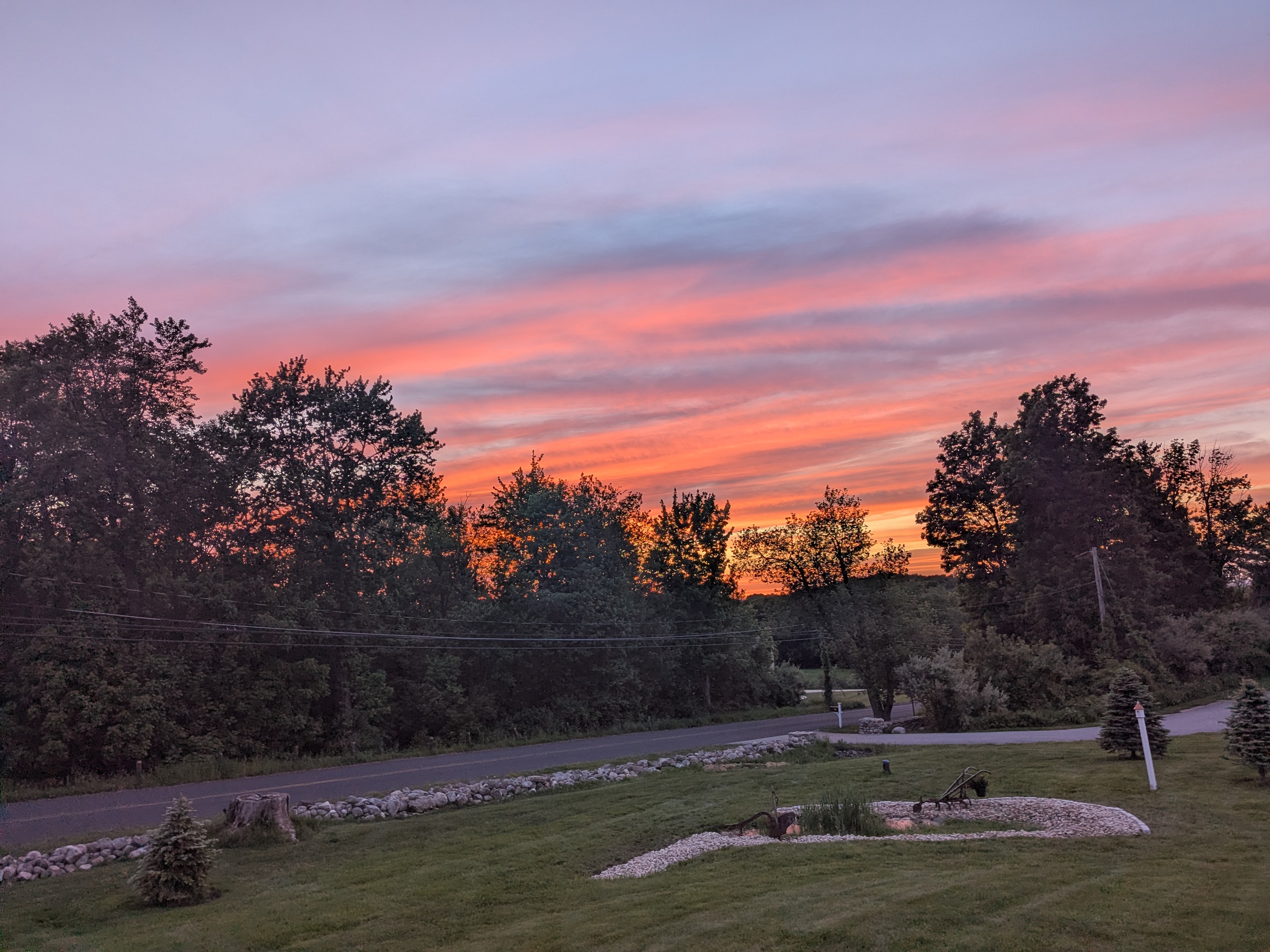
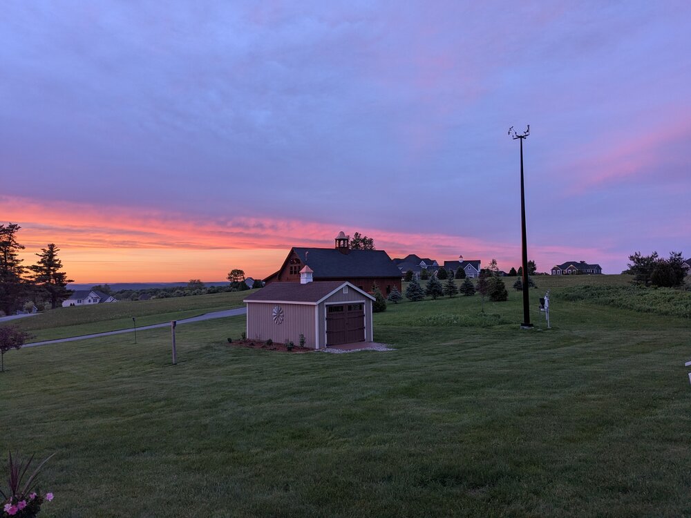
The string of great sunsets continues!

-
Nice sunset on Johnnycake Mtn road Burlington, CT PXL_20260522_001752993.RAW-02.ORIGINAL.dng PXL_20260522_001748283.RAW-02.ORIGINAL.dng
-
Cell peaked heading into my area... Two trees down and power out; genny running.
-
Yep...
-
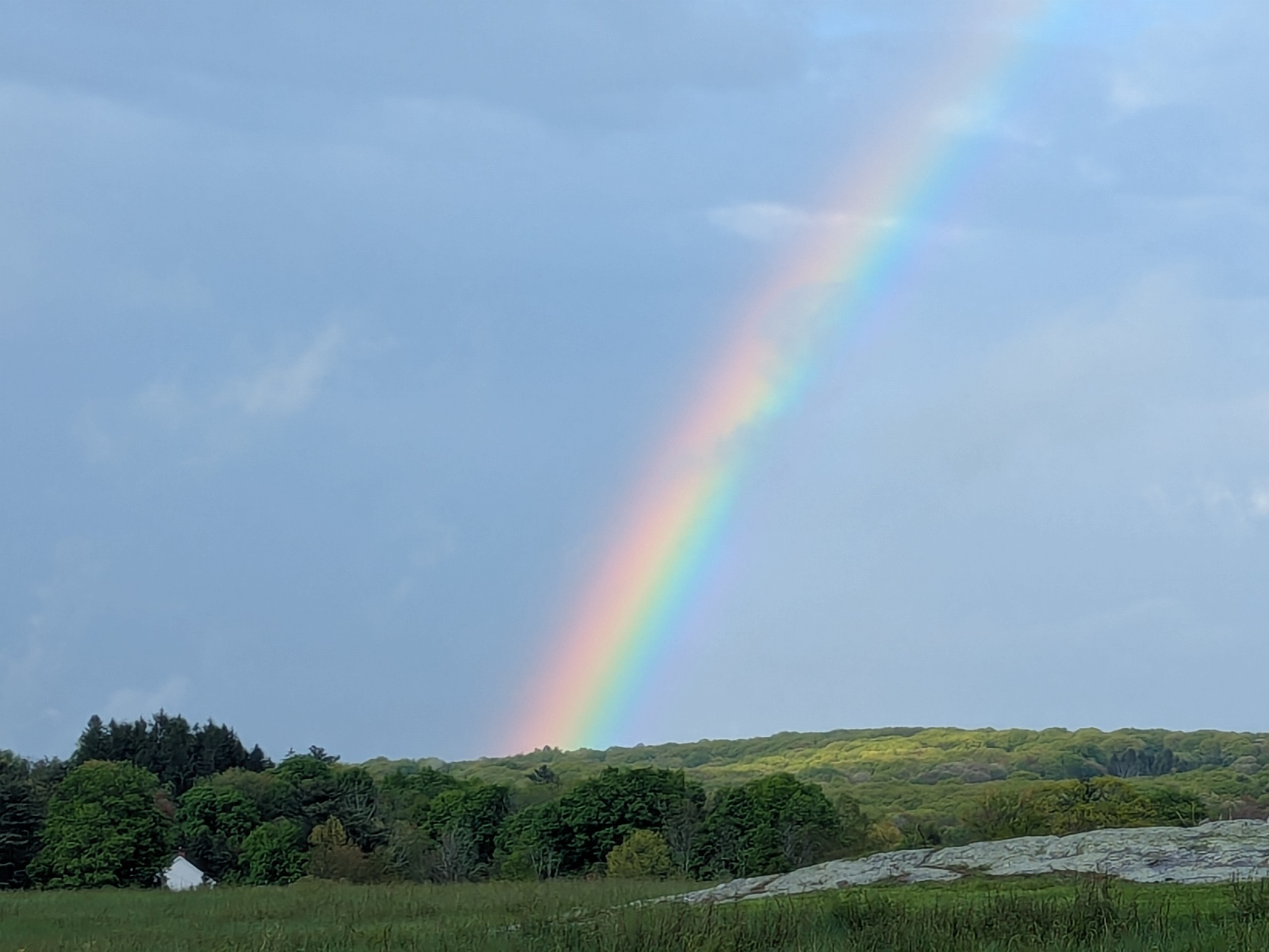
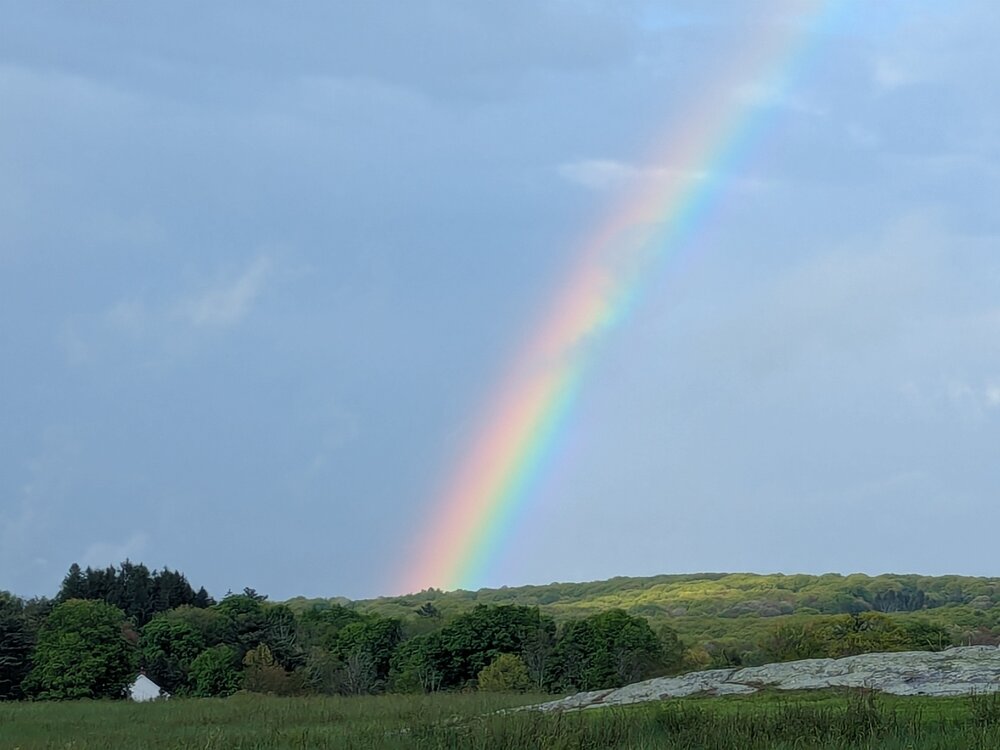
Rainbow season has arrived in Burlington CT...
-
Yep... I put the drought monitor talk in the same bin I use for all the New England elevated fire danger statements!
-
Hey Steve... great work... would certainly consider using it... Is the rainfall (in/hr) working???
-
Could not agree more Tip. The numbers don't lie song is highly overrated! The subject take by "non-weather geeks" like most of my friends and family, is that this spring has largely sucked. I know spring in New England is more often than not crappy. But I'm just not buying this has been a great spring spin.
-
I keep reading "best spring ever"? Not feeling it; I don't care what #'s say! Precious few great stretches...
-
Hard to miss that many shots in a 3 minute span!
-
Praying for continued recovery...
-
I don't really care, but I doubt he's done! It's a man's world! Her career is likely over but he's not going anywhere since the standard is different... Always has been...
-
All snow now in Burlington CT
-
Rain / Snow mix here
-
PXL_20260407_164809846.RAW-02.ORIGINAL.dngPXL_20260407_164809846.RAW-02.ORIGINAL.dng
-
Graupel galore! PXL_20260407_164725496.TS.mp4
-
74 here
-
Obviously! Lol
-
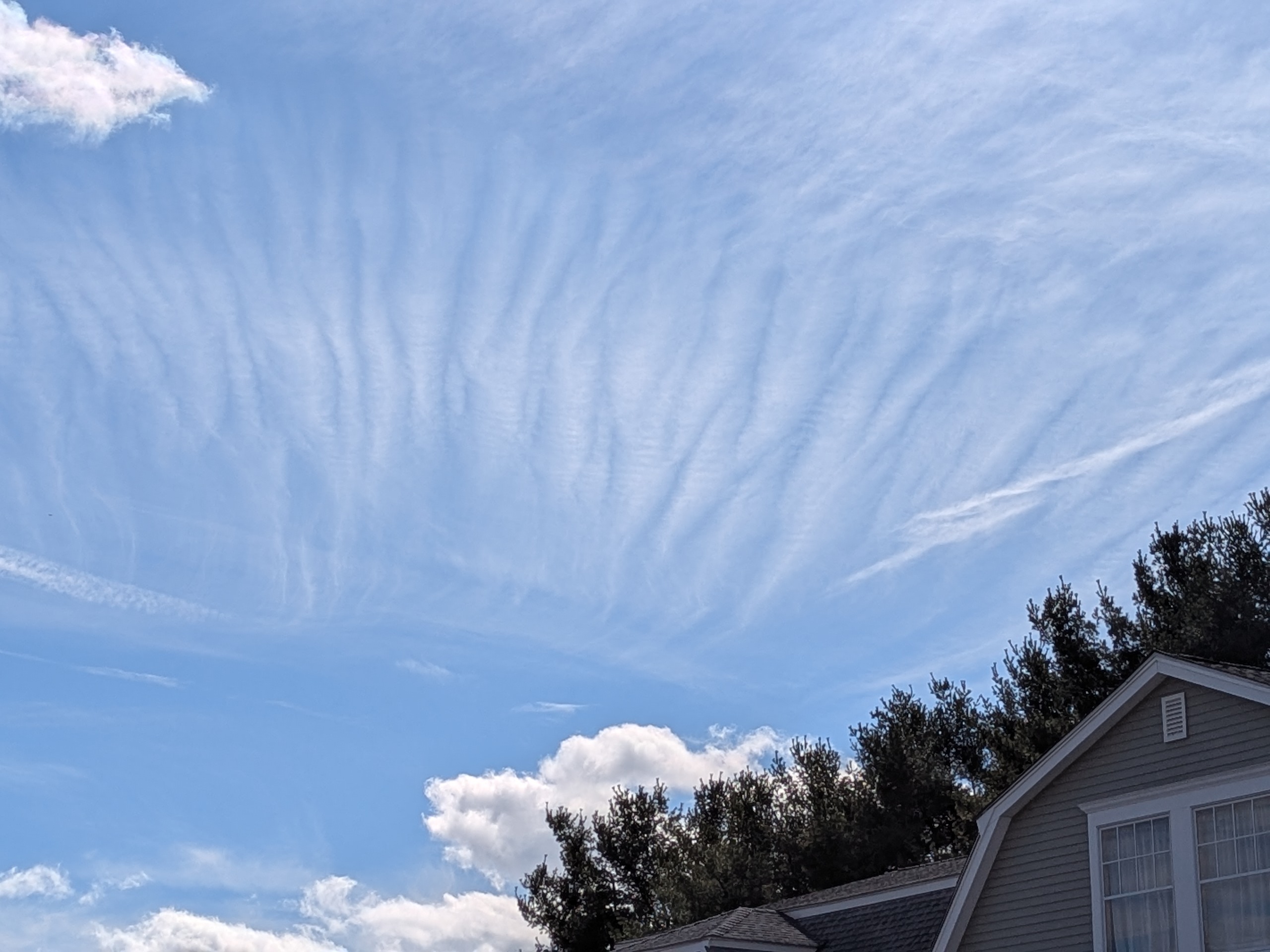
Looks to be a bit of gravity wave action over CT this afternoon...

-
I am beyond tired of seeing those maps... They are of little value to most folks; and grossly misunderstood... We have been in and out of moderate to severe drought levels for the past several years. And yet, here we are with solid water supplies and no water jug filling lines forming at the neighborhood fire hydrant.
-
Could be!
-
You may be onto something? Lol. It makes it sound like folks are out there filling their pools and watering their gardens on March 18th...
-
Reading the critical drought story on 25 Boston makes me wonder if they think we are in the middle of a severe summer drought! Not mid- March? Banning outdoor water use, etc... Sounds kinda crazy! https://x.com/i/status/2034340337364218330
-
59 mph here in Burlington CT
-
Sadly, you are probably right!