FXWX
-
Posts
1,444 -
Joined
-
Last visited
Content Type
Profiles
Blogs
Forums
American Weather
Media Demo
Store
Gallery
Everything posted by FXWX
-
got it... thanks
-
But they show a 12 to 16" color zone?
-
Much like summer thunderstorm rainfall totals, these meso-scale banding events can have extreme differences across very small distances; think lake effect snows??? I would dismiss it off hand?
-
2.2 Burlington
-
 -3 here
 -
Sitting at 2 degrees
-
I agree 100% with your general amounts overview... This is going to be a fun nowcast looking for short-term sfc obs & radar trends Saturday morning trying to sniff out the max zones before they explode? That's assuming this doesn't just fail to materialize... Trust nothing until you see the whites of their eyes type of forecasting call. Lol
-
I think advisories will eventually be necessary for other areas as well... North Shore a lock, but I could see the trigger being pulled for lower end advisories anywhere from portions of eastern / southeastern CT on across RI... Sometimes they will issue advisories for a glorified snow shower setup, but not jump in one a widespread solid light accumulation event...
-
Yep... I think it is now a foregone conclusion that there are going to be a couple of sweet spots... Lots of support, in my opinion, for a solid 3-5 inch zone across southeast CT northward along and either side of the CT/RI border area (I-395 corridor) eastward across much of RI; possibly parts of the Cape... But I expect a high-end advisory level / low-grade warning (4-8") somewhere in eastern Mass but not locked into the specific zone at this time; probably a nowcast call just before it really shows itself.
-
Lol... Thanks Scott; I thought it was some special run of the AI... When I saw Will use the term, I though it must be legit... I'm familiar with Terminator, but did not make the connection...
-
Excuse my ignorance, but the difference between "skynet" and the other euro data sources?
-
Also, like all model guidance, we can all feel different about the value of a particular model and/or product. Be it the lowly Nam or the Euro... We all, or at least I do, have our own favorites and routines...
-
I don't disagree in general... I'm pretty clueless as to these products are actually constructed, and yes the sample size is very small. But I've seen enough positive trends this cold season to use them for significant trends in the 7 to 10 day period. I may never really understand how the AI products are generated, but think they have shown value... That does not mean take them verbatim, but they should be used to for trends and support...
-
I know, but not as bullish as was hoping... Certainly not dismissing the potential but hoping for more substantial trends...
-
The lack of AI support for the Feb 14 period is concerning... I had zeroed in on that period, but can't feel very confident unless a favorable AI trend comes on board soon?
-
yep... actually the OES potential looks pretty crappy...
-
We will see... not a big deal one way or the other... feel free to respond if I'm wrong! Lol..
-
I wouldn't be completely shocked if someone sees 2+ or 3+ amounts across coastal eastern Mass or the Cape where some OES magic occurs, but this is a coating to 1.5 inch event (iso 2") for most of SNE...
-
I'm not so sure? There is something about the look of the large-scale pattern trends, medium range guidance suggestions, and some historical time frames that peaks my interest a bit more than I would normally give to 10-day Outlook. Over the years I've always liked two February periods; Feb 3-6, and Feb 12-16? If I were a betting man, I might wager on this upcoming period ( Feb 13-15) breaking our way... In no way a hard and fast forecast and a complete failure is certainly on the table, but I'd spin the storm roulette wheel on that time period. Add to the mix that I have 2 incredibly important family matters to attend on the 14th could seal the deal... Lol
-
Amazing what a little wind can do to change the tenor of the outdoor feel... Almost the same temp as yesterday right now, but with a steady 12 mph wind, gusting to 25 mph... The walk around the neighborhood was nowhere near as comfortable as it was yesterday!
-
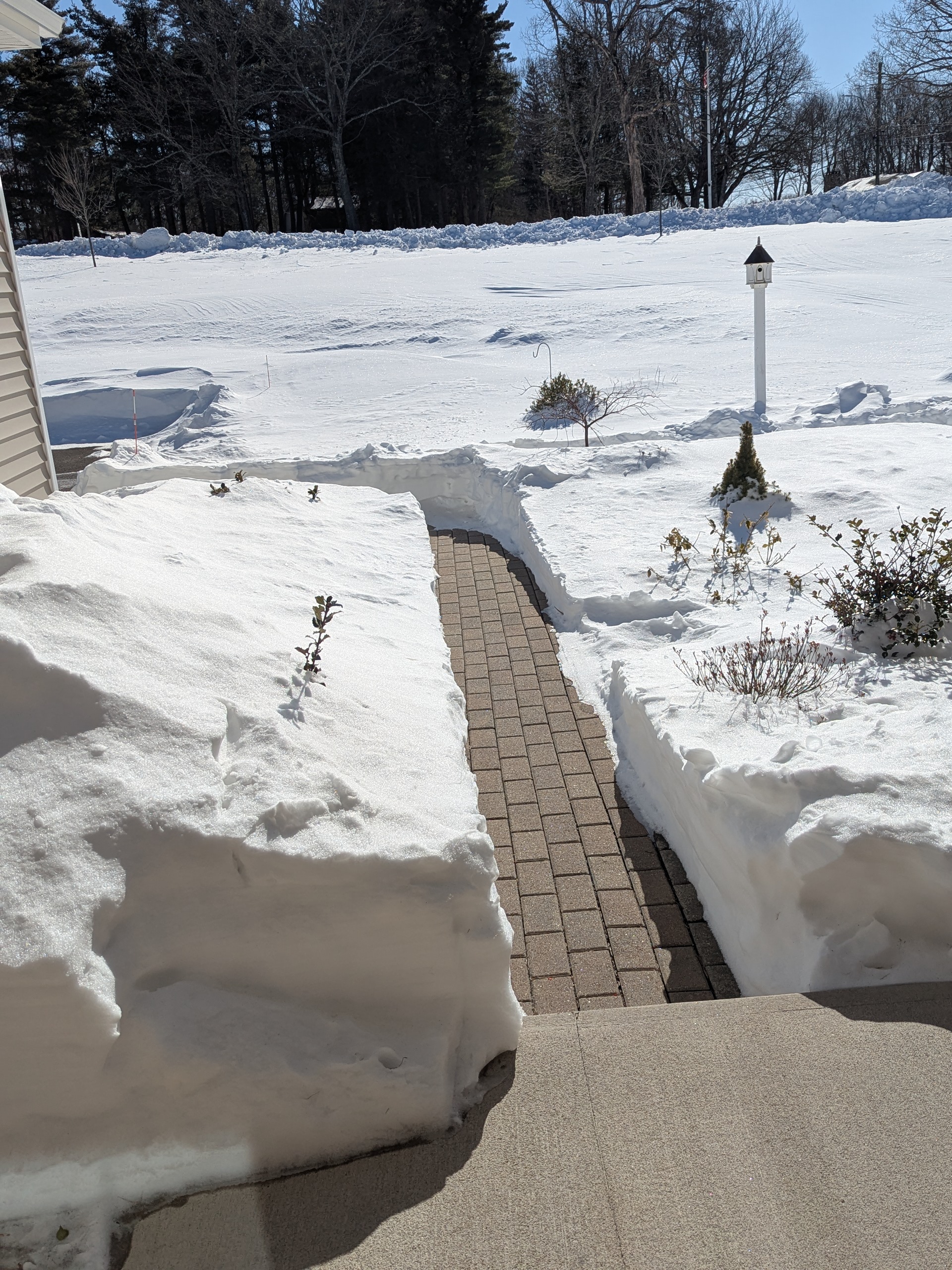
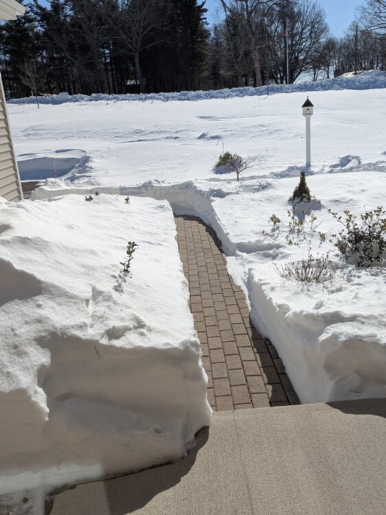
South facing walkway... Not a hint of melting!
-
27.5 here
-
About a third of this forum waste time reposting shit posts found on X as if they really mean anything!
-
Yes?
-
The challenge with Miller A's v. B's is a whole different animal! B's precip shields are relatively easy to deal with and while there are always questions about ptype, intensity and transition zones, it's quite easy to predict precip coverage. Miller A's are a whole different animal. Track (over, inside or outside the benchmark / stalling / loops) and the ever present headache chasing multiple lows, some real, some ghost, makes the forecast confidence level drop. In the early days of my career, I remember plotting ship reports trying to get a handle on any offshore development of any spurious lows. The more seaward trend of this system is likely a product of a couple of items; right now I'm more inclined to think that the southward collapsing feature in northeast Canada might be a bigger player than speed shear issues. The speed issue is certainly not helping but I think the Canadian issue might be a greater contributer? To deny the offshore trend would be foolish of me, but I remain vigilant, especially for eastern CT.