FXWX
-
Posts
1,445 -
Joined
-
Last visited
Content Type
Profiles
Blogs
Forums
American Weather
Media Demo
Store
Gallery
Everything posted by FXWX
-
The challenge with Miller A's v. B's is a whole different animal! B's precip shields are relatively easy to deal with and while there are always questions about ptype, intensity and transition zones, it's quite easy to predict precip coverage. Miller A's are a whole different animal. Track (over, inside or outside the benchmark / stalling / loops) and the ever present headache chasing multiple lows, some real, some ghost, makes the forecast confidence level drop. In the early days of my career, I remember plotting ship reports trying to get a handle on any offshore development of any spurious lows. The more seaward trend of this system is likely a product of a couple of items; right now I'm more inclined to think that the southward collapsing feature in northeast Canada might be a bigger player than speed shear issues. The speed issue is certainly not helping but I think the Canadian issue might be a greater contributer? To deny the offshore trend would be foolish of me, but I remain vigilant, especially for eastern CT.
-
More like mid-November...
-
What cracks me up a bit, is 2 days ago we were screaming about the extreme look to the digging / closing off of the 500 level, and how rare it was! Well we still see the extreme solution, 525 closed off on the SC coast and we are just assuming it and it's surface reflection are being perfectly modeled & there will not be any surprises? Well, maybe it is being predicted perfectly, but I remain wary?
-
Hang tough! Don't bail yet!
-
Wow! Here we are 3-4 days out from the evolution of a very complex / incredibly unusual upper-level setup, and this is being dismissed, as a gone / done deal? Based on short-term trends of the ICON, NAM, GFS, etc... Maybe this ends up being a miss for most, but sitting here on Wednesday morning and pulling the plug on a weekend storm based on the less than perfect trends (ICON, GFS, CMC, NAM) is a bit baffling? We are still looking at a wild 500 mb evolution that a day ago was being labeled as historic with lots of uncertainty as to whether or not it was believable. How many of the "it's gone" believers will shut their computers off and not turn it back on until early next week to follow the next threat? Lol... Some of this is in jest, but the doom and gloom & confidence being professed it a bit over the top given the setup... just saying...
-
I've seen these types of setups throw heavy snow further west than originally modeled or predicted! Do not underestimate this storm's ability to push heavy snow into Western CT and the Berkshires...
-
agree
-
Yes, yes and yes!
-
Growing up during the age of Miller A's, I will say this... Some of the biggest busts I've witnessed and studied were intense Miller A storms. Error / bust potential is often much less when dealing with Miller B events. Given the historic look of the absurdly digging 500 mb trough, I would be very wary of this escaping too far east? While history making events are always possible, that 500 mb evolution is beyond extreme! If it develops as modeled, then it's one for the record books. I think it would be wise to assume its (500 mb) intensity is not going to be as intense as modeled. Lots to consider; where will the primary form, does it jump / reform well to the east, or does it get tugged westward, stall, loop, ??? Thumb through the Kocin book(s) and you will find examples of Miller A's that were expected to graze southeastern SNE, and to everyone's surprise, ended up throwing heavy snow back into eastern NY? Not saying this one will, but the evolution of the 500 mb level tells me this is not a simple escape east situation. I think a more western track evolves on modeling tomorrow.
-
All coated up here with trucks back out.
-
Even the Navy doesn't really use it! Like most organizations, it's mainly Euro and Gufus...
-
Calling it 19.0 in Burlington
-
 2 weeks ago I was posting to my clients about the ghost of Jan 2015 walking through the door! Well, he's now sitting at the kitchen table! Great storm... Last week Will posted about the Gulf opening up (moisture flow) and how that tends to mean northward trends! I have been waiting for the gulf and deep southern moisture to get involved for years!!! Let's see if we can keep it going with East Coast action.
 -
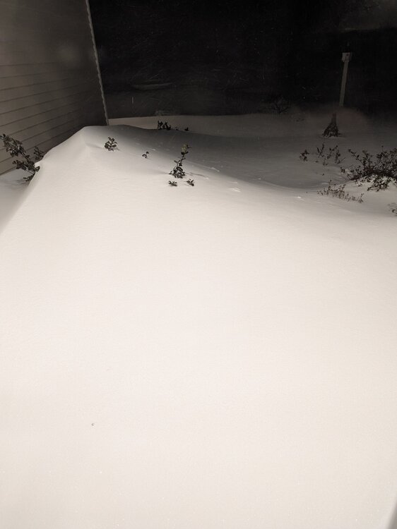
Tough measurement for my location, after assessing the drifting and multiple measurements, I think I'm closer to 20 than the 18 inch total I reported. Heading out to dig out the generator!
-
Will need to dig the generator out in the morning...
-
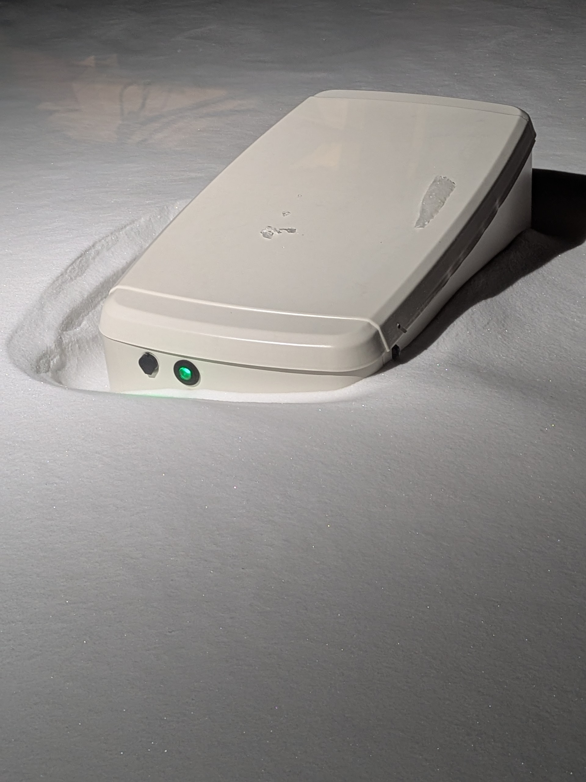
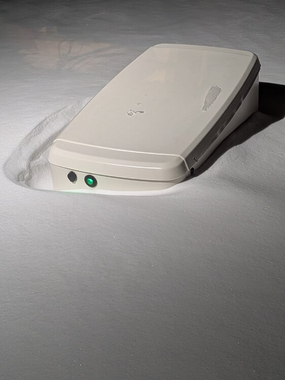
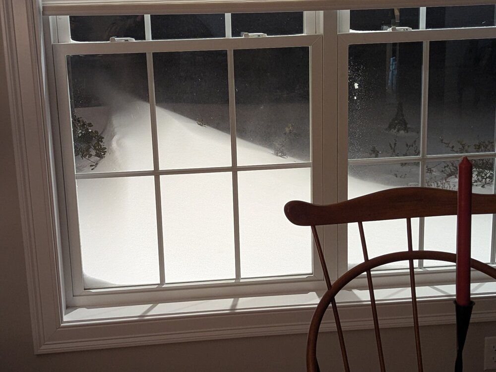
My DPW guy just text he's at 24". I'm too windy to get an truly accurate measurement, but I have drifting up to my windows and completely blocking my front entrance, I know we've gotten a big number!
-
I would be wary of ending the snow across western & central CT too soon. While the rates will certainly decrease, there is ample low-level fronto & advection in the 925 and 850, even almost to the 700 level to promote more steady light / moderate snow across much of CT; while the back edge of it appears to be heading into western CT, I think it will expand and fill out; appearing to back-build. It will certainly not be anywhere near as heavy as earlier, but I think there will be ongoing light snow continuing well after midnight.
-
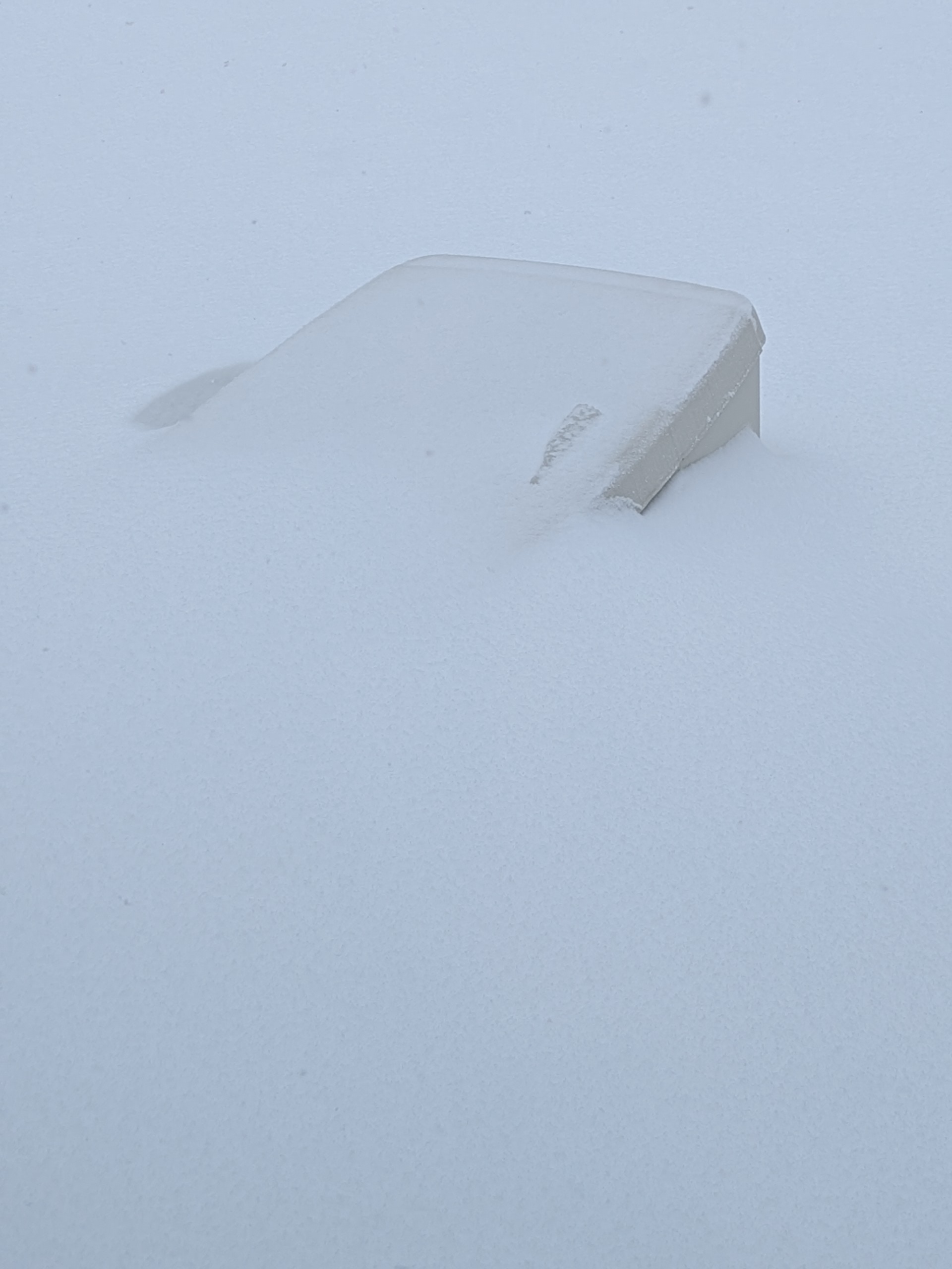
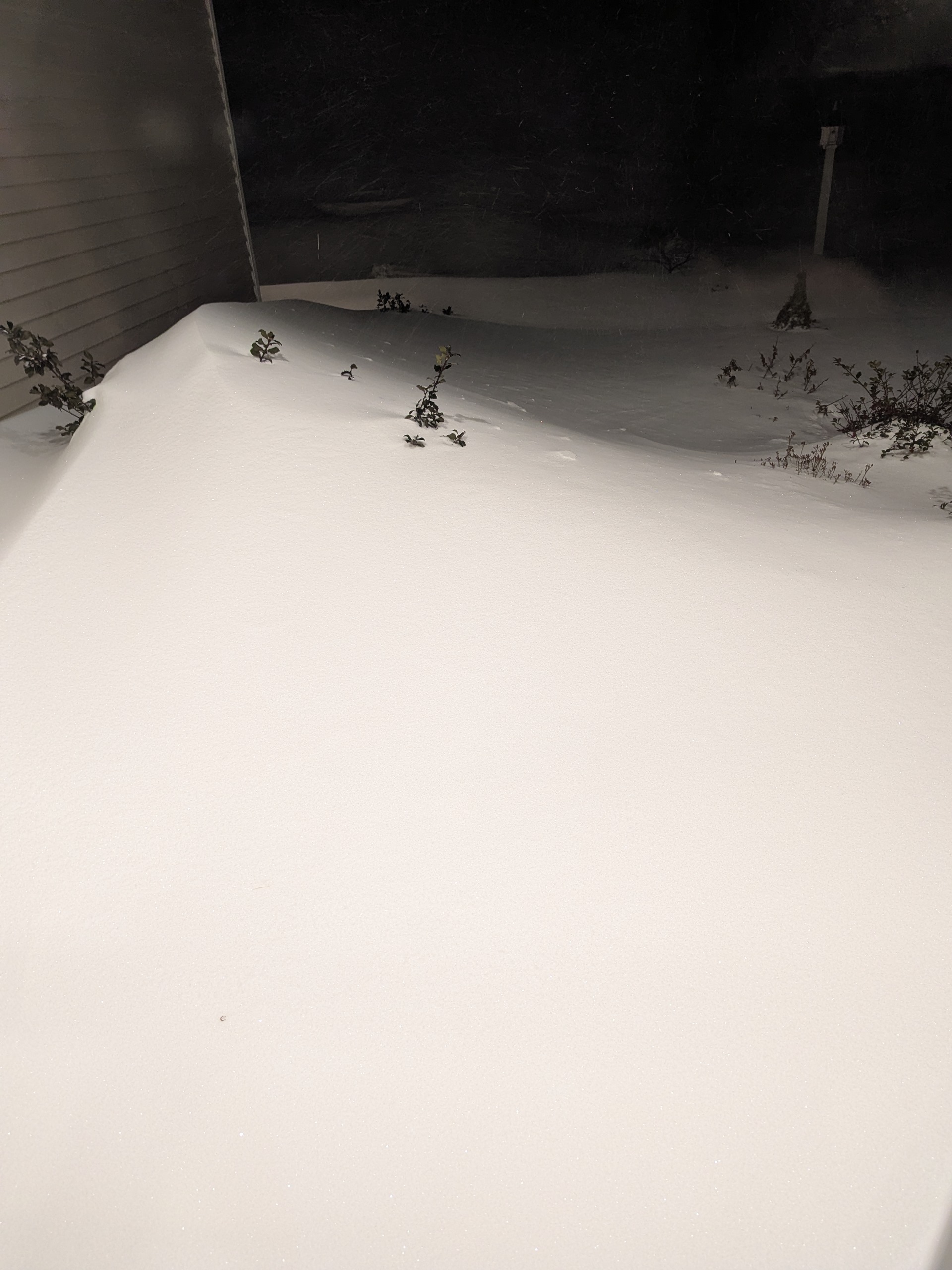
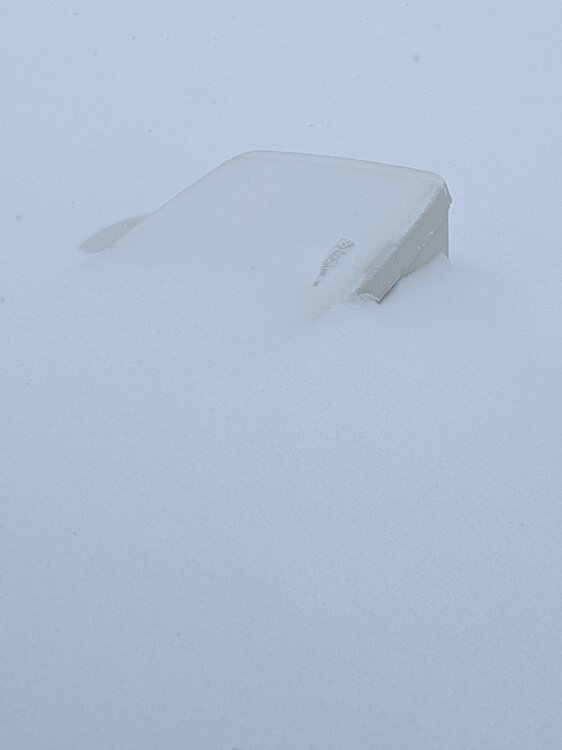
Front walkway completely drifted over!

-
Agree... had a couple folks send me pics to prove that it was sleet. The pics proved it was actually NOT sleet!
-
I am sure there could be some sneaky thin above freezing layers, but the hourly analysis of the low-levels from 925 to 850, along with the hourly profiles (the one below is close to the Vernon CT area where someone was reporting sleet) sleet is not the favored precip type. Not saying anyone is lying, but I'd favor mangled snowflakes or snowflake shards; if that makes sense? Certainly not a classic sleet profile...
-
If you want to see a stunning good heavy snow signature; go to SPC meso and look at 850 and 700 fronto and advection maps; as well as the tremendous thermal gradient from 925 to 850... A thing of beauty...
-
Over the many years, I've experienced a precious few snowstorms with single digits and low teens at onset with steady rising temps. Nothing compares to this!!!
-
Heavy snow; dropped back to zero!
-
1 degree / mod/hvy snow!
-
High of 5 off a morning low of -3