FXWX
-
Posts
1,431 -
Joined
-
Last visited
Content Type
Profiles
Blogs
Forums
American Weather
Media Demo
Store
Gallery
Everything posted by FXWX
-
That was my first take before a biologist friend clued me in! I wish I had taken some pics because it was quite remarkable in some areas.
-
It's nothing like the Cape browning... Your area may indeed be related to dryness. When I was on the Cape in early July and then again in mid-August, it was quite remarkable in the Sandwich / Mashpee area... Had never seen anything like it.
-
Yes! Not drought / rainfall related... 100% cicadas related...
-
Just kidding... I would be very surprised if we didn't see an uptick heading in late month period. We've got no where to go but up? Lol
-
If "gone wild" means continuing the theme of almost no chance of tropical threat, then I agree!
-
Agree...
-
Once again this is wrong that it implies the SST is driving the bus!
-
Thanks for the detailed thoughts Tip... I think the "if that persist" comment cannot be understated. Over the years I've seen massive changes for the northeast Pacific sst profile moving from early fall into early / mid winter. It's rarely static. Also we occasionally see some folks thinking the sst configuration (in this case the warm pool in the northeast Pacific) drives the pattern, when as you stated, it is an artifact of larger atmospheric features/patterns. I do think you are probably correct about an early onset compared to some recent winters. Of course, intensity and staying power very uncertain. Hints of this occurring should show up in early October, if it's going to happen?
-
The "great analog song" has been sung many times in recent years to no avail! Relying on the look of the SST layout in early Sept is not high on my list...
-
A new Tornado warning may be need for Litchfield CTY soon?
-
It's been an active morning for sure in RI; even the early activity in southeastern CT was pretty impressive...
-
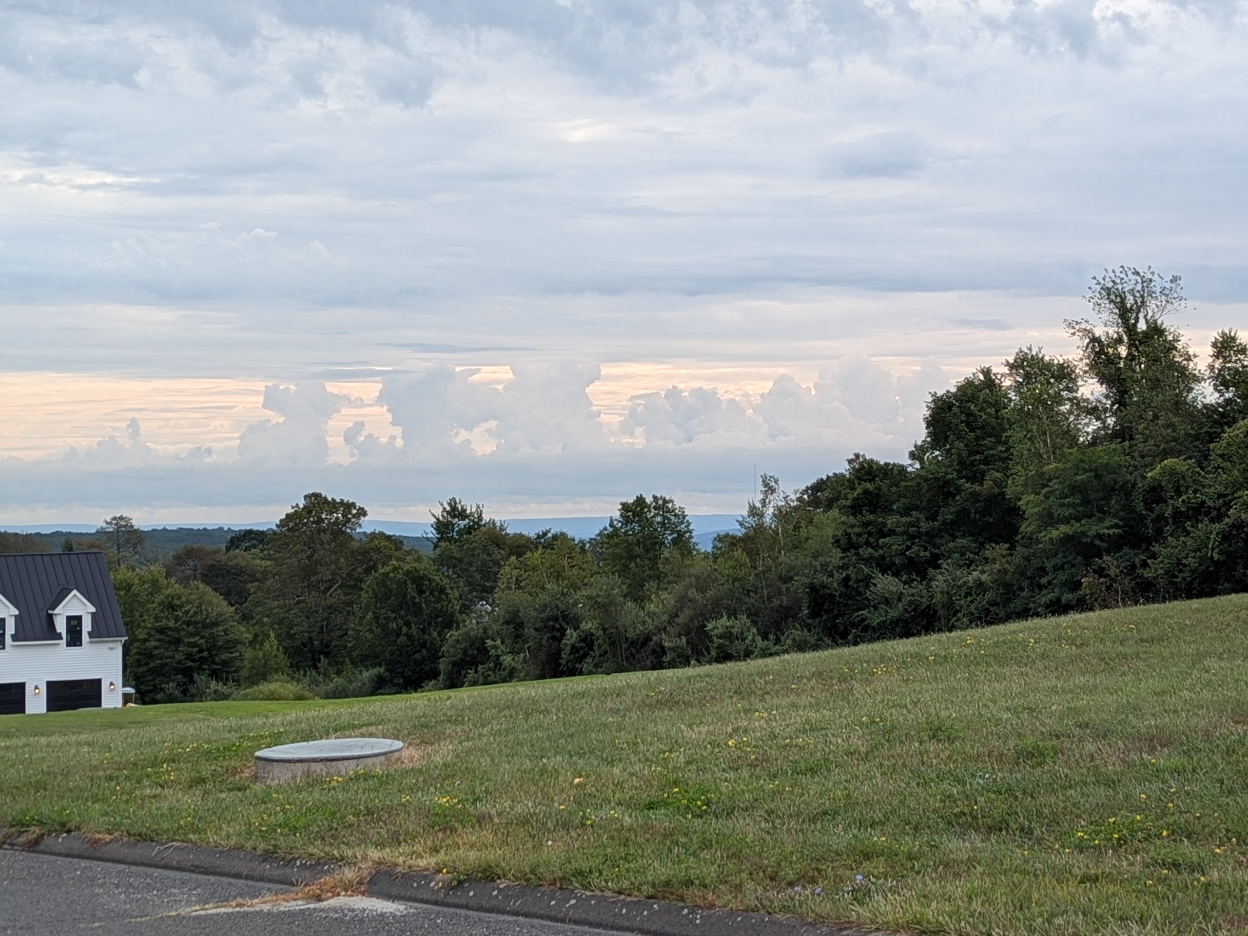
Morning towers looking southeast from Johnnycake Mtn area of Burlington, CT

-
It's a beaut!!!
-
Lol
-
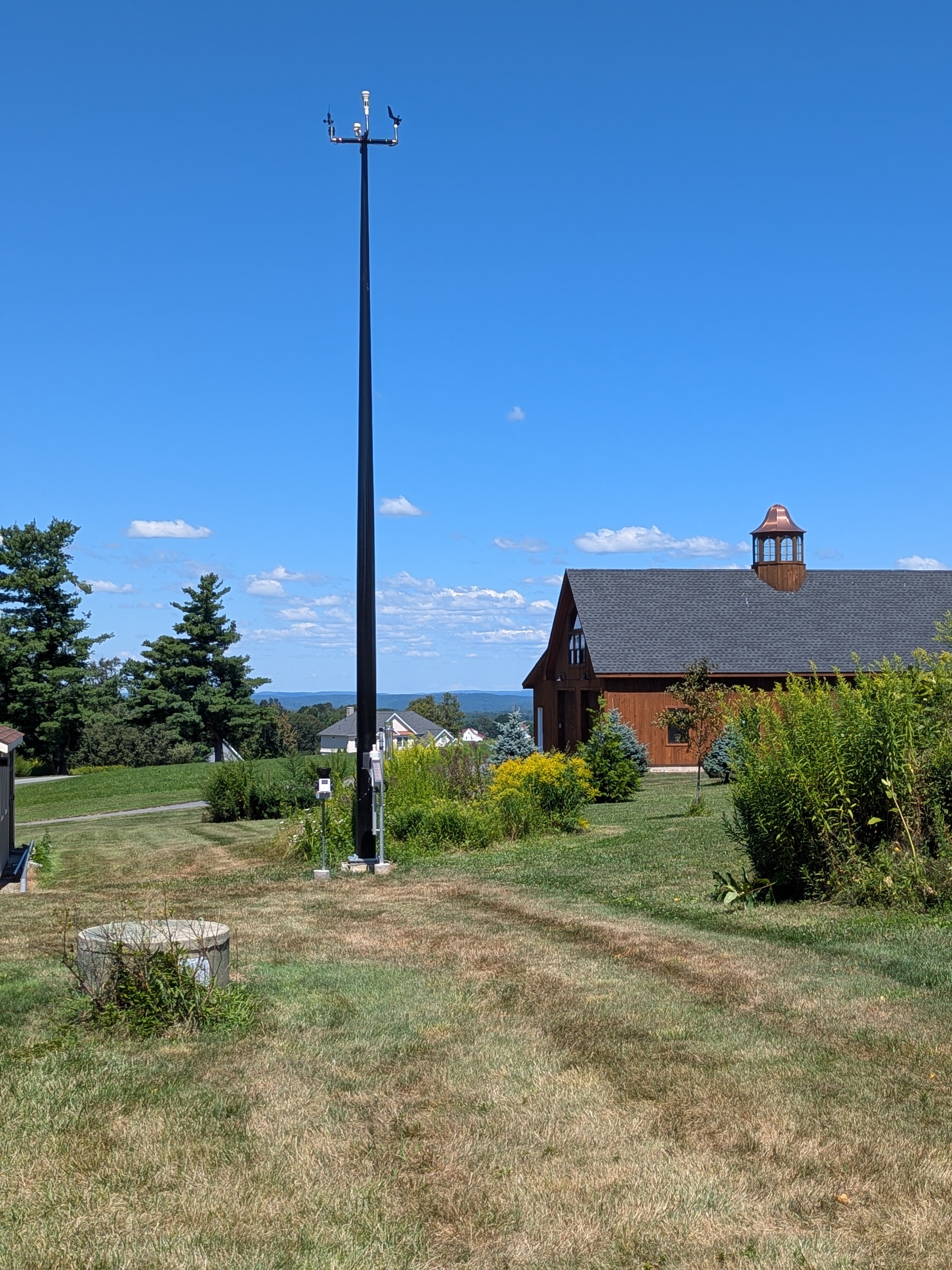
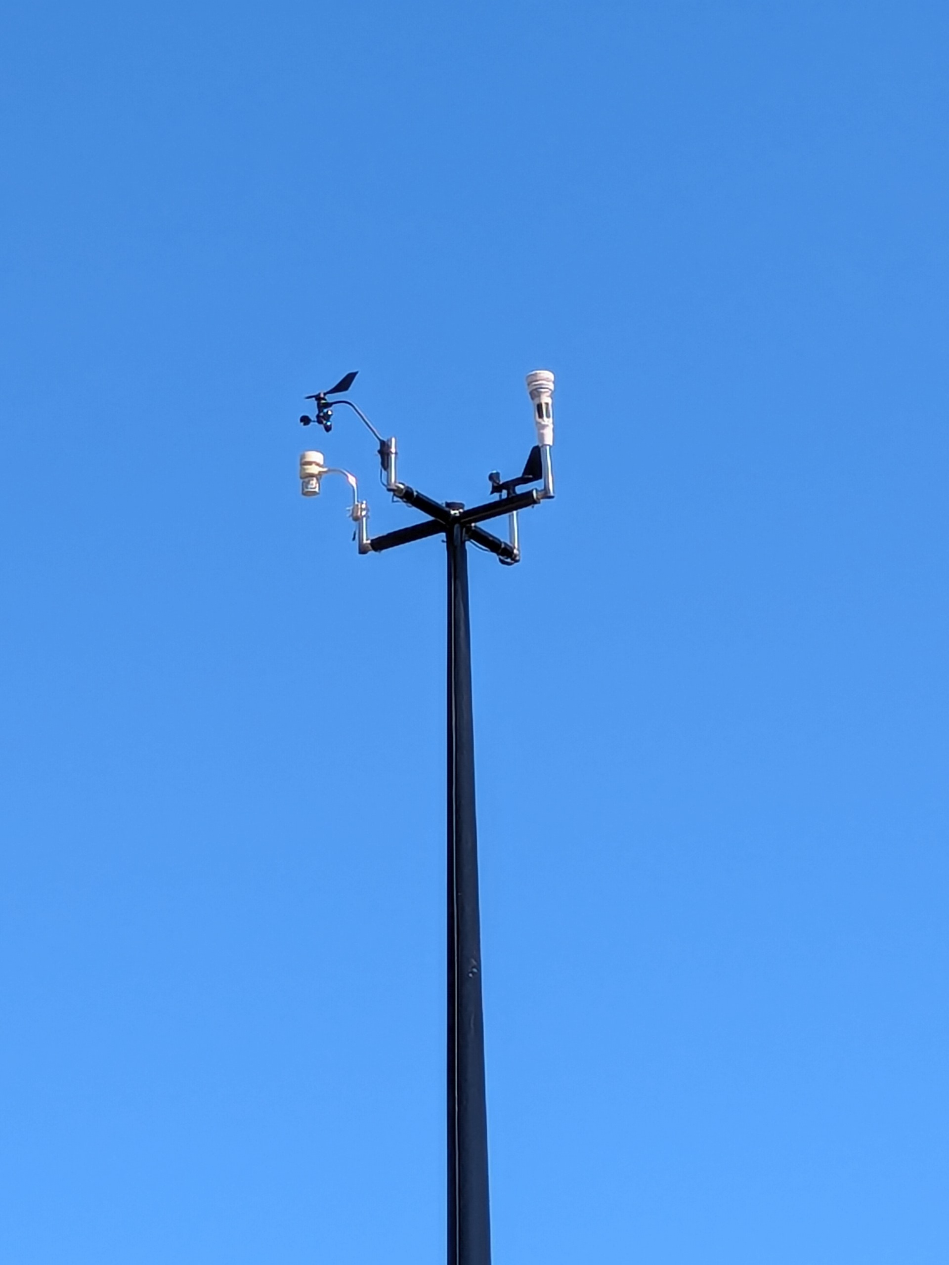
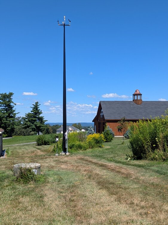
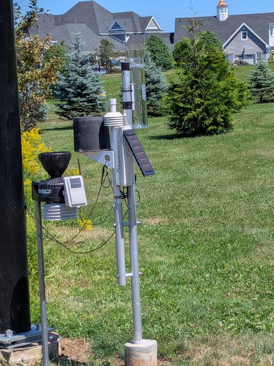
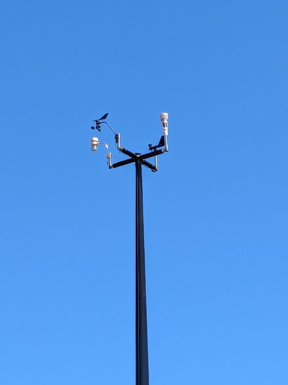
Pole is fiberglass so not really lightning friendly... All wireless so no direct connection to the house or office. Always a risk of lightning strike no matter what I do but the overall setup is not a lightning attractor...
-
Summer project almost complete! 30' hinged fiberglass pole, easily lowered for maintenance!
-
Lol... His above average snowfall map even includes the Florida Keys... That's all you need to know.... Lol.
-
Denial is never healthy... Lol
-
While I understand some folks wanting to fantasize, especially during pitifully boring times, in the history of East Coast hurricane forecasting, nothing has changed! The major pattern players are always the same, as Ryan, Tip and Coastal have pointed out; anomalous positive heights in the northwest Atlantic (Newfound wheel) and troughing moving east or digging southeast from TN/OH valley region. There are other setups that can tease a coastal run, but they inevitably bend east/northeast. Of all the SNE storm patterns, the hurricane threat pattern is actually one of the easiest to pick out! And this setup would need massive changes to morph into meaningful threat. Forget about tracking every little shift in Erin's track. Look north and west for the answer!
-
THIS!!! There is a very clear pattern that brings the storms up the coast to do damage. This is not even close to it.
-
It will... But the opportunities will just be less frequent... As for the Aug-Oct trends, are just the reality of our short term climate trends.
-
I think there is a photo of Eisenhower pointing a map showing Carol hitting North Dakota.
-
Unfortunately in 1954 it took the human computers using slide rulers until 1956 to produce the next day's track forecast! Lol
-
"Likely" is a strong call? Dry patterns are not the most conducive for New England hurricanes... Wet August and Septembers preferred in my thinking??
-
Might setoff KevRecho...