FXWX
-
Posts
1,444 -
Joined
-
Last visited
Content Type
Profiles
Blogs
Forums
American Weather
Media Demo
Store
Gallery
Everything posted by FXWX
-
56 mph wind gusts at my location
-
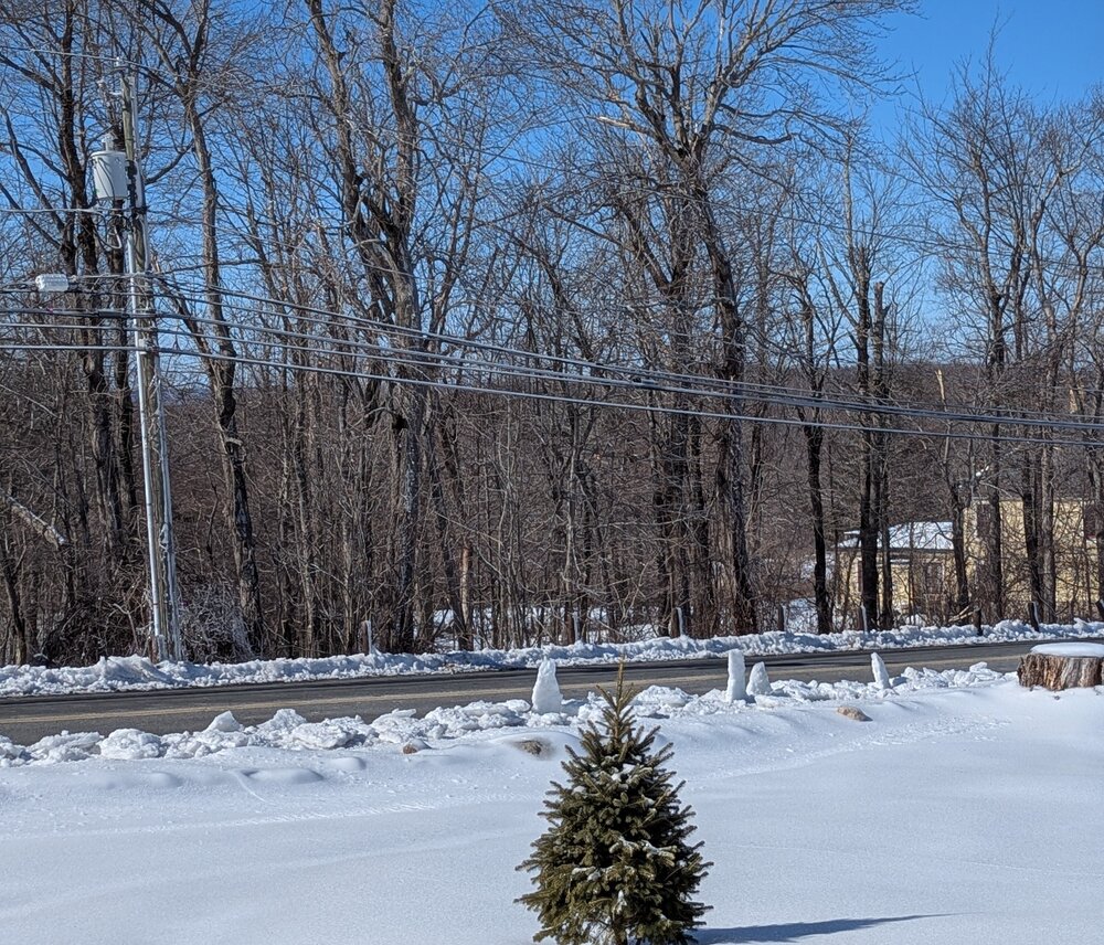
While pushing the snowbanks back yesterday, the town crew created snow graveyard with snow/ice headstones. Maybe Snow-Henge!
-
Thanks... Would love to see one in Northwest CT...
-
Is that in the CT meter group yet
-
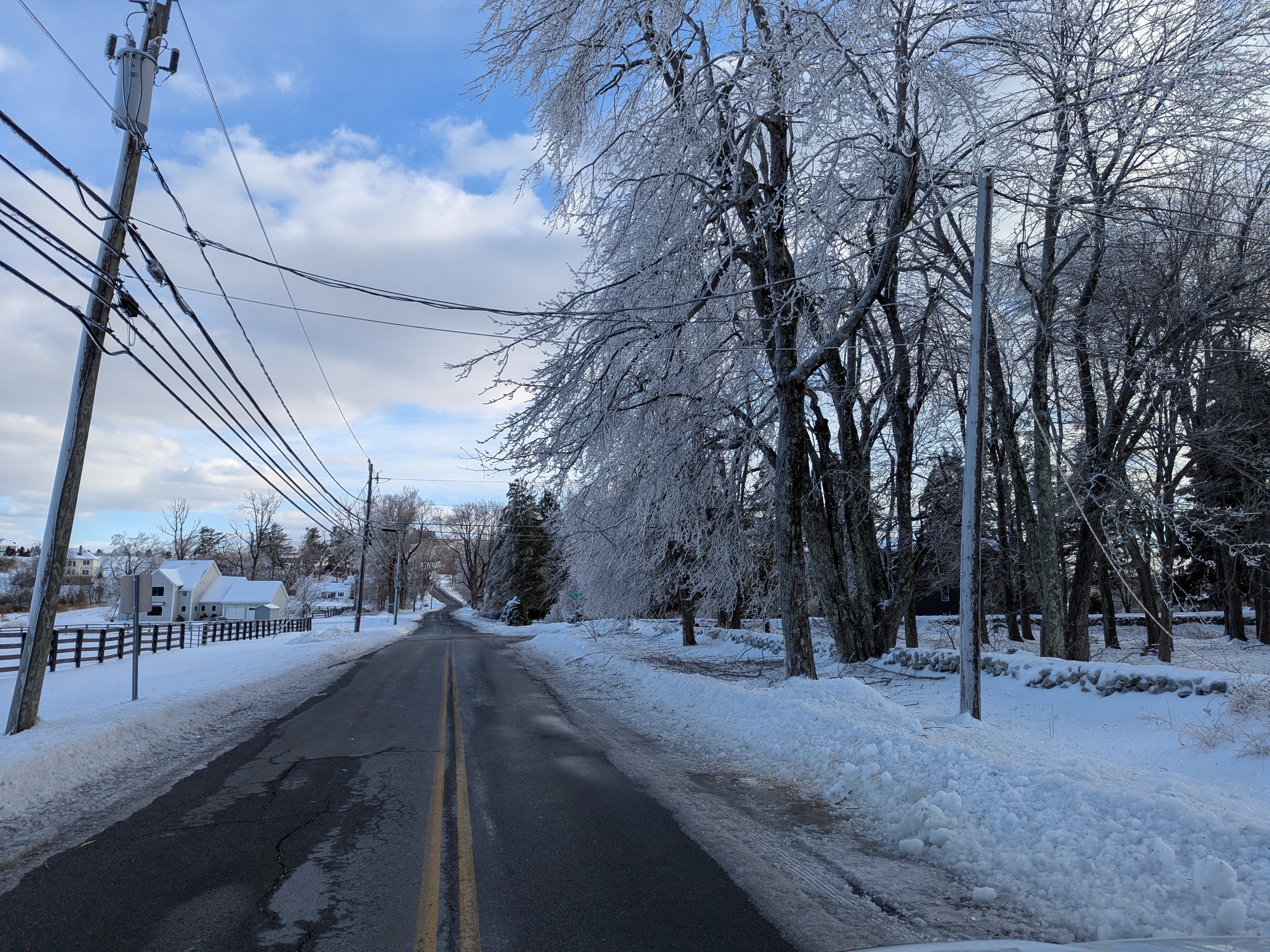
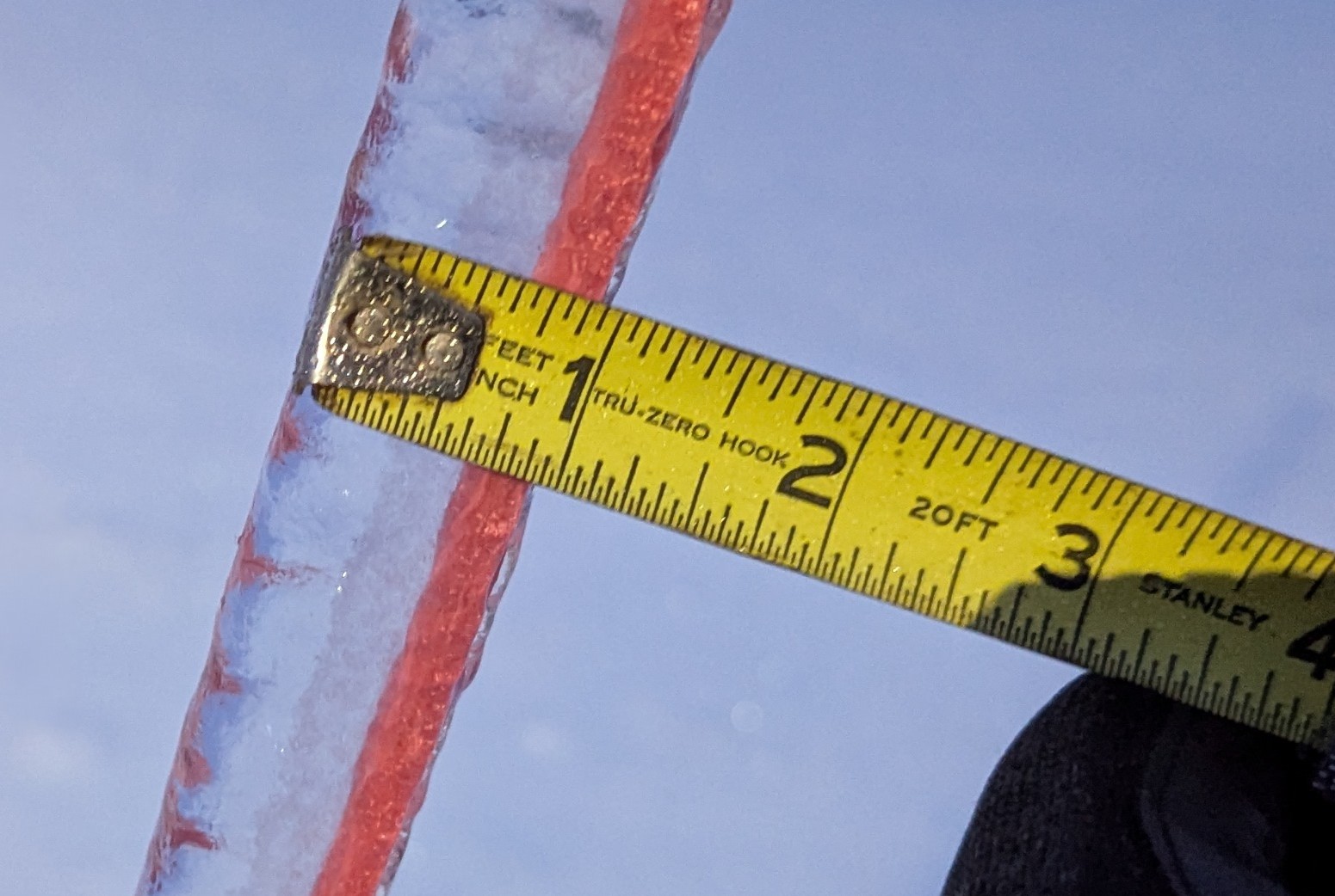
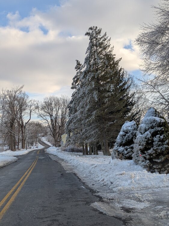
Ice hanging tough at high points of Burlington on Day 6.... Peak gust this morning 48 mph!
-
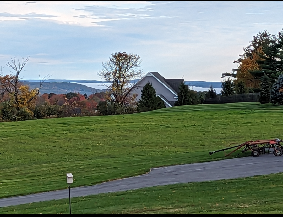
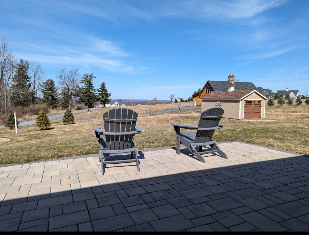
LSM only few seconds away. We lived for many years on the Burlington/Unionville line, but I used always come up here to take pics, measure snow & ice etc... then one day this lot became available and I jumped on it... For a weather geek, it's heaven! Great snow & ice location, wonderful sunrise / sets, winds rip, and thunderstorm / lightning views are great...
-
Looking north & northeast

-
Yes... no steep hills at all... just a gradual climb up to ~1,200 feet at my location... It's a decent climb coming from the east out of the Farmington River Valley, but once you get 900/1000 ft it a fairly long stretch of relatively flat terrain (plateau)... Berks off to the north/northwest show up nicely when photographing looking in that direction. Super spot for weather watching!
-
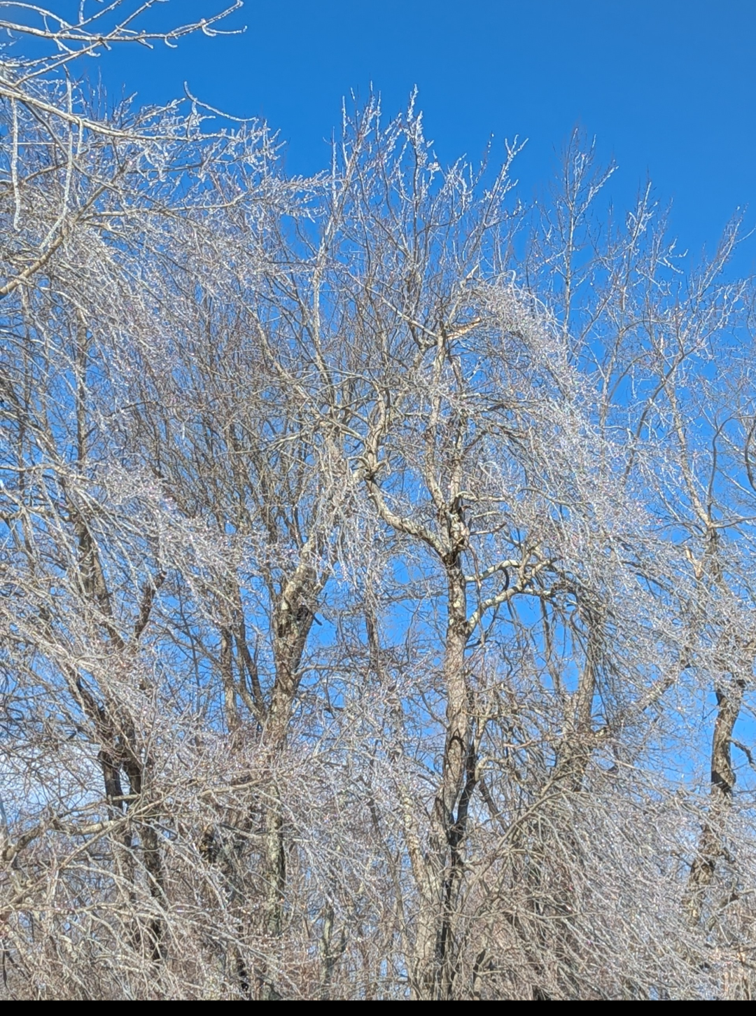
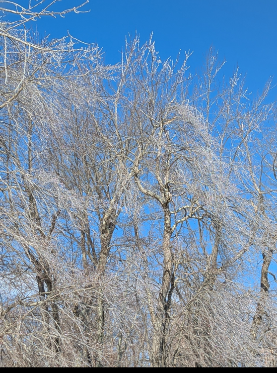
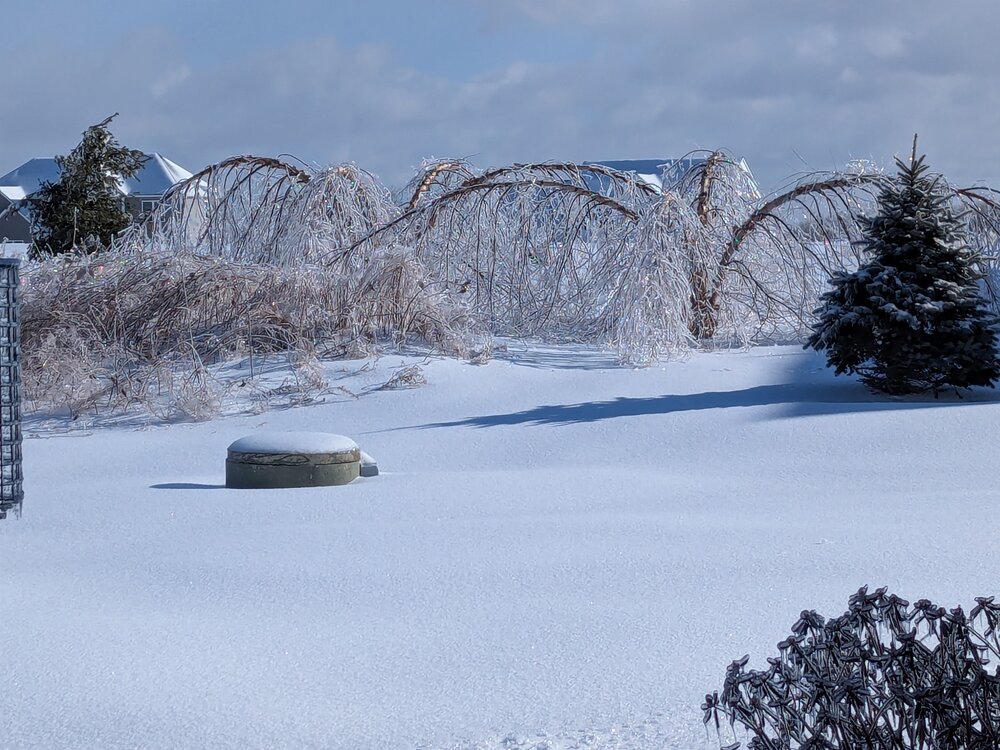
Ice hanging tough in the high elevations of Burlington, CT.... Johnnycake Mtn area. Also interesting to note the large pines in the area only had ice on their east facing side given favored easterly wind direction.PXL_20250218_204449996.RAW-02.ORIGINAL.dngPXL_20250218_204454599.RAW-02.ORIGINAL.dng

-
Continue to receive new reports of ongoing tree damage and power line damage across central and northwest CT. Just received a report of wires down on a vehicle with driver still in car on Litchfield Lane New Hartford CT.
-
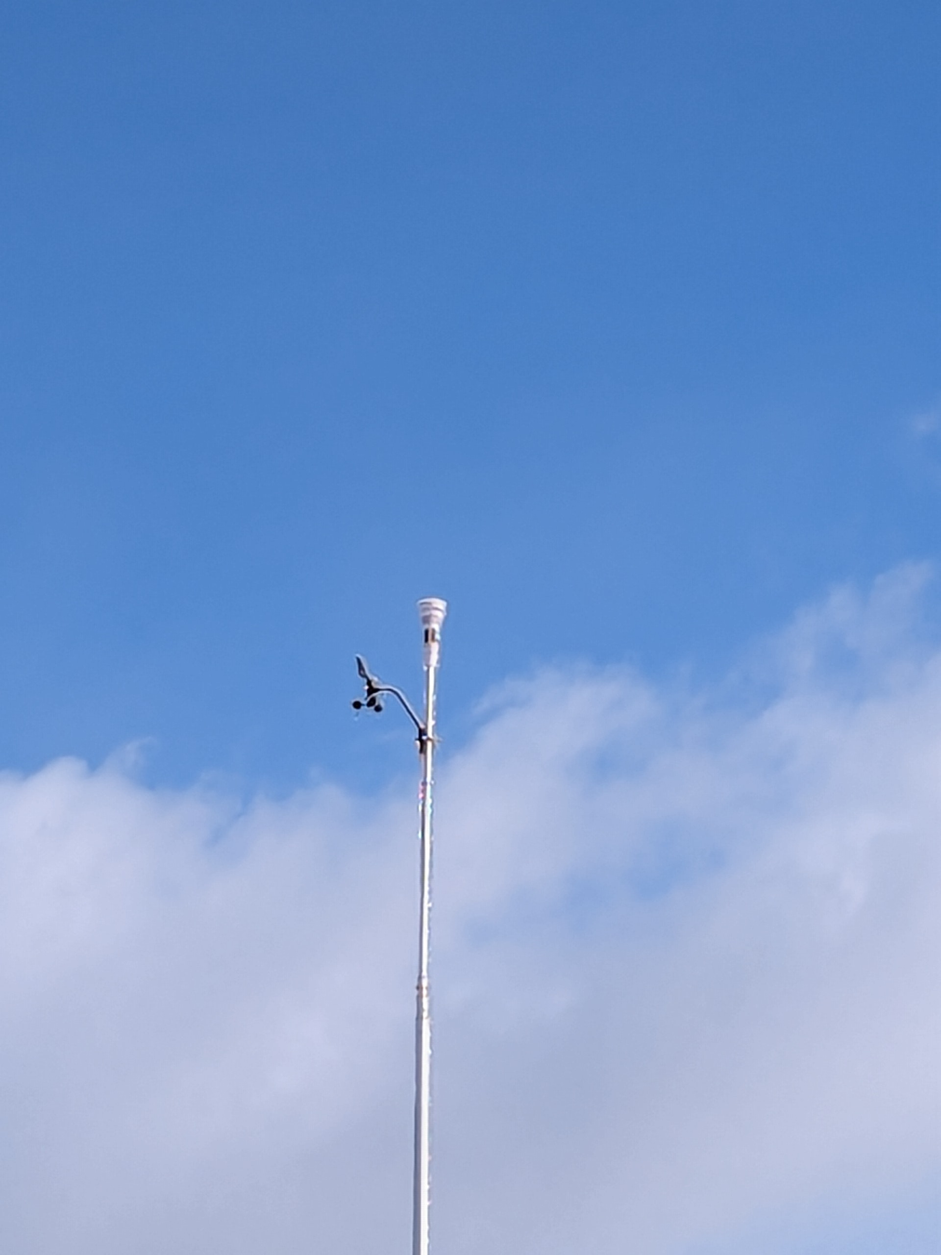
We continue to chase residual tree damage and power outage events here in Burlington, CT... More sporadic than last evening but new reports popping up a few times an hour. My 3 anemometers have been frozen since yesterday afternoon! Davies show here...

-
52 mph gust KBDR
-
Agree... pretty tough around here right now with road crews pushing trees and debris of the roads, as well as out of their trucks clearing debris while branches and trees are breaking around them... not the safest night out there...
-
Yes indeed... the synoptic layout yesterday afternoon across southern Mass into and down the CT Rvr valley had a classic look of the cold holding its ground longer than most would suspect; in fact, you had mentioned the other day it had the look of something that could bleed all the way into srn New Haven County? And it did and then some! Very noisy evening around here with large limbs and large sections of trees snapping... when winds ramp up I expect another period of enhanced tree damage...
-
Trees down all over town... Along with multiple power poles... Been ongoing for several hours now...

-
That was it... thanks
-
I used to always be able to just post pics from my phone... Now every time I get message image exceeds size limit of 56 kb? Image doesn't show up to double click on it? Never had to resize?
-
Tree issues increasing across northwest / west-central CT... 3 trees recently reported down in Burlington, along with reports of wires arcing...
-
Won't be easy, especially north of I-84...
-
The current sfc temp layout is pretty impressive. I'm down to 19! Given sfc wind direction right down the valley it is going to make it tough for any rapid flush out of the cold from Litchfield county into Farmington Valley?
-
It is still preciping under the apparent dry slot.
-
Nothing like showing a map depicting temps well after the event?
-
Those are fun but often are more of a nowcast... Not sure the gradient is sufficiently strong enough to get a slug of low level cold to roll south into the HVN area. Not the craziest though however?
-
Pixel 6
-
How do I reduce pic size; using pixel