FXWX
-
Posts
1,431 -
Joined
-
Last visited
Content Type
Profiles
Blogs
Forums
American Weather
Media Demo
Store
Gallery
Everything posted by FXWX
-
Lol... Given the time frame, I'd call it a success if even a stray thunderstorm formed 354 hours out... Seeing a constant flow posts like me; and they we wonder why the science gets mocked... If this keeps up, RFK Jr is going to get appointed to head NWS!
-
Here, it would come with zero forcing / lifting features...
-
Obviously beyond speculation time frame, but the modeled back side winds usually don't verify; chop off at least 30%.
-
Wow... Your strong nor'easter rating is pretty impressive! My scale is considerably lower... Lol
-
Nothing wrong with fantasizing? Every once in awhile mother nature surprises us.
-
They always look so pretty on the charts but the reality of any actual impacts given a track like that usually leads to disappointment...
-
In that position and on that track it's impacts would be less than a strong Nor'easter for the Cape...
-
All set... Thanks for the help...
-
Its a pixel 6... I'm going to try the sign-out deal... should have thought about that first...
-
OT... trying to do a password reset due to loss of data on my phone... It's asking for my old password, which was lost when data became corrupted... Thoughts?
-

July 2025 Obs/Disco ... possible historic month for heat
FXWX replied to Typhoon Tip's topic in New England
Don't underplay southeastern NY northeast across Fairfield County / Litchfield County area? -
July 2025 Obs/Disco ... possible historic month for heat
FXWX replied to Typhoon Tip's topic in New England
https://x.com/Danbury_WX/status/1948923856086851981?t=eW-XQXLT2YuoWhwNOVHqDA&s=19 -
July 2025 Obs/Disco ... possible historic month for heat
FXWX replied to Typhoon Tip's topic in New England
Got that right -
July 2025 Obs/Disco ... possible historic month for heat
FXWX replied to Typhoon Tip's topic in New England
Couple of trees down in Waterbury -
July 2025 Obs/Disco ... possible historic month for heat
FXWX replied to Typhoon Tip's topic in New England
Agree! While there are a handful of great Mets on here that apply actual forecast techniques to their outlook comments, many posters are just regurgitating whatever the newest model run shows, regardless of its likelihood of occurrence... -
July 2025 Obs/Disco ... possible historic month for heat
FXWX replied to Typhoon Tip's topic in New England
Congratulations... Amazing how often folks are out of their area when a good storm finally pops up -
July 2025 Obs/Disco ... possible historic month for heat
FXWX replied to Typhoon Tip's topic in New England
South side of storm as seen from Burlington CT PXL_20250720_220618455.RAW-02.ORIGINAL.dng -
July 2025 Obs/Disco ... possible historic month for heat
FXWX replied to Typhoon Tip's topic in New England
Kev should get his camera ready; might be able to see a dangling funnel? Hail? -
July 2025 Obs/Disco ... possible historic month for heat
FXWX replied to Typhoon Tip's topic in New England
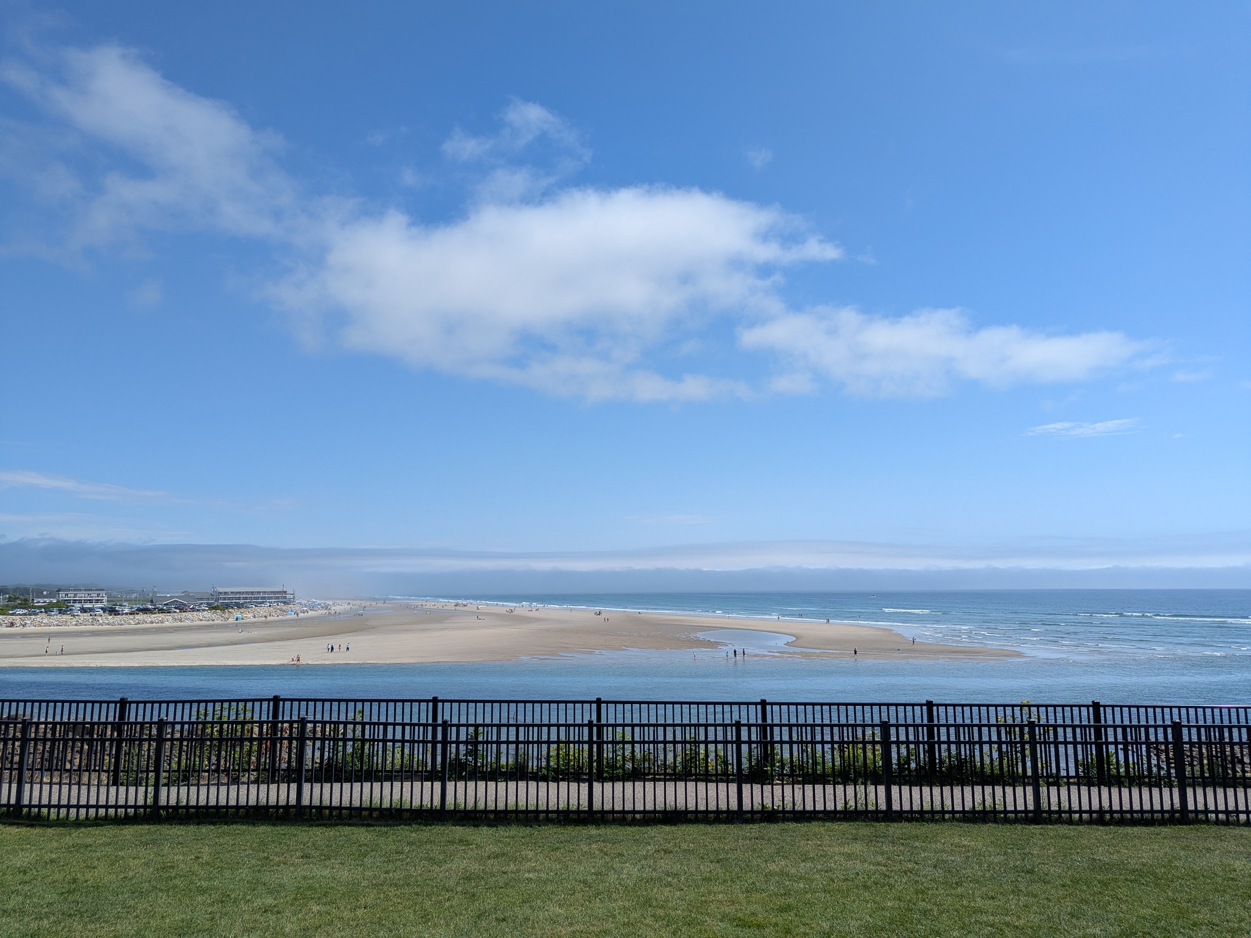
Fog bank continues to teaser the beaches of Ogunquit...
-
July 2025 Obs/Disco ... possible historic month for heat
FXWX replied to Typhoon Tip's topic in New England
The short distance variability associated with these systems always amazes me. Lots of reports of sun with frequent lightning but no rain... While I had r+++, less than a mile away only a spit rain but a burst of pea sized hail. -
July 2025 Obs/Disco ... possible historic month for heat
FXWX replied to Typhoon Tip's topic in New England
Yep... Constant thunder here as it approaches -
July 2025 Obs/Disco ... possible historic month for heat
FXWX replied to Typhoon Tip's topic in New England
Report of Multiple trees and wires down in Kent CT... Also tree and wires down in Bantam.. -
July 2025 Obs/Disco ... possible historic month for heat
FXWX replied to Typhoon Tip's topic in New England
I've had a couple of those in the last 4 years living on Johnnycake! Exhilarating, but scares the crap out of you! -
July 2025 Obs/Disco ... possible historic month for heat
FXWX replied to Typhoon Tip's topic in New England
I've had a couple of those in the last 4 years living on Johnnycake! Exhilarating, but scares the crap out of you! -
July 2025 Obs/Disco ... possible historic month for heat
FXWX replied to Typhoon Tip's topic in New England
I have the same magazine... Found it in a bookstore in Watch Hill, RI about 30 years ago! I never pass up the chance to browse through local bookstores when traveling.