

Met1985
-
Posts
16,913 -
Joined
-
Last visited
Content Type
Profiles
Blogs
Forums
American Weather
Media Demo
Store
Gallery
Everything posted by Met1985
-
I mean realistically people outside the mountains have a very low chance of see snow but yall aren't out of the woods for some cold temps for sure.
-
Not really. We are currently in the midst of another major SSW that will impact a good portion of April in my opinion. Lots of variables and changes going on.
-
Yeah was just going to post about another really cold run for the Midwest and the Eastern US.
-

March 2023 Mid-Long Range Discussion thread
Met1985 replied to Holston_River_Rambler's topic in Tennessee Valley
Yeah again like this last SSW there will be a lag in how is affects our sensible weather. Like you said I think this current SSW will impact our weather for the first of April. We will probably get a reprieve from the cold late in March then we will turn colder again. -
March 2023 Mid-Long Range Discussion thread
Met1985 replied to Holston_River_Rambler's topic in Tennessee Valley
I think we might see unseasonable condition right through the first of April also because of anothe major SSW taking place again currently. The PV is really getting hammered. -
Ga keeps us updated on this as well. This very well could push full spring back until sometime in April. @40/70 Benchmark great stuff. Been keeping up with your stuff even from down in WNC.
-
Yeah the GEFS has a much colder look to it.
-
2022-2023 Fall/Winter Mountains Thread
Met1985 replied to BlueRidgeFolklore's topic in Southeastern States
Heads up for some nasty weather. Jackson NC-Swain NC-Graham NC-Haywood NC- 546 PM EST Mon Feb 27 2023 ...A SEVERE THUNDERSTORM WARNING REMAINS IN EFFECT UNTIL 615 PM EST FOR NORTHWESTERN JACKSON...SWAIN...GRAHAM AND NORTHERN HAYWOOD COUNTIES... At 544 PM EST, severe thunderstorms were located along a line extending from 13 miles east of Gatlinburg to 10 miles northwest of Bryson City to 10 miles northwest of Murphy, moving east at 55 mph. HAZARD...60 mph wind gusts. -
2022-2023 Fall/Winter Mountains Thread
Met1985 replied to BlueRidgeFolklore's topic in Southeastern States
Tonight is all about it being windy. Batten down the hatches for Tonight because things are going to be blowing all over the place. -
Todays 12z eps run is even more impressive and not way out in la la land either. Looks colder for sure with the cold pressing down further.
-
Dang that is crazy.
-
2022-2023 Fall/Winter Mountains Thread
Met1985 replied to BlueRidgeFolklore's topic in Southeastern States
It's rare but I would venture to say March actually may be colder than February for us. -
2022-2023 Fall/Winter Mountains Thread
Met1985 replied to BlueRidgeFolklore's topic in Southeastern States
Im really afraid this spring will end up colder and more snow than most of winter. -
2022-2023 Fall/Winter Mountains Thread
Met1985 replied to BlueRidgeFolklore's topic in Southeastern States
This is crazy. BLIZZARD WARNING REMAINS IN EFFECT UNTIL 4 PM PST SATURDAY ABOVE 8000 FEET... * WHAT...Blizzard conditions above 8000 feet. Additional snow accumulations of 36 to 85 inches. Winds gusting as high as 70 mph. * WHERE...The Sierra Nevada above 8000 feet. -
2022-2023 Fall/Winter Mountains Thread
Met1985 replied to BlueRidgeFolklore's topic in Southeastern States
63 degrees already this morning. -
Been looking at land near Rangeley Maine recently. An absolute beautiful area. Wish I was up there now.
-
This is very premature to say. Not trying to bust your balls but you've really got to be patient with the whole northern hemisphere weather pattern changing.
-
Yeah I read an afd for southern California that had them receiving 32 to 73 inches of snow with 80mph winds.... Absolutely insane.
-
2022-2023 Fall/Winter Mountains Thread
Met1985 replied to BlueRidgeFolklore's topic in Southeastern States
Man out west and the upper Midwest are just going to get hammered. Read near Yosemite CA they are predicting 33 to 72 inches of snow with gusts up to 80mph. Sent from my SM-G998U using Tapatalk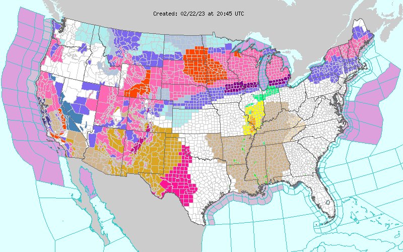
-
2022-2023 Fall/Winter Mountains Thread
Met1985 replied to BlueRidgeFolklore's topic in Southeastern States
Yeah an absolutely stellar day. -
2022-2023 Fall/Winter Mountains Thread
Met1985 replied to BlueRidgeFolklore's topic in Southeastern States
A super beautiful day out. It feels hot out in the sun. Bring on spring. -
2022-2023 Fall/Winter Mountains Thread
Met1985 replied to BlueRidgeFolklore's topic in Southeastern States
Some sites could be flirting with record highs the next few days. Pretty remarkable really. -
2022-2023 Fall/Winter Mountains Thread
Met1985 replied to BlueRidgeFolklore's topic in Southeastern States
What worries me is that the nao and se ridge link up again to screw the whole east coast. -
2022-2023 Fall/Winter Mountains Thread
Met1985 replied to BlueRidgeFolklore's topic in Southeastern States
Yeah this winter is really bad. No two ways around it. -
2022-2023 Fall/Winter Mountains Thread
Met1985 replied to BlueRidgeFolklore's topic in Southeastern States
Some night time adventures around home. Sent from my SM-G998U using Tapatalk

