

Met1985
-
Posts
16,911 -
Joined
-
Last visited
Content Type
Profiles
Blogs
Forums
American Weather
Media Demo
Store
Gallery
Everything posted by Met1985
-

2022-2023 Fall/Winter Mountains Thread
Met1985 replied to BlueRidgeFolklore's topic in Southeastern States
No not at all. That would only affect a radius right around the derailment. -
2022-2023 Fall/Winter Mountains Thread
Met1985 replied to BlueRidgeFolklore's topic in Southeastern States
Temp down to 31 with moderate snow coming in waves. -
2022-2023 Fall/Winter Mountains Thread
Met1985 replied to BlueRidgeFolklore's topic in Southeastern States
Spitting snow here now. Temp is down to 34 degrees and the wind has been whipping. -
Late February will be rocking. February Long range Discussion thread
Met1985 replied to Ji's topic in Mid Atlantic
Snowing down here currently actually. In WNC. -
2022-2023 Fall/Winter Mountains Thread
Met1985 replied to BlueRidgeFolklore's topic in Southeastern States
12 nam has better coverage overnight for some flakes. Sent from my SM-G998U using Tapatalk.thumb.jpg.21601e129bdc73b440683bd1ca4c96bc.jpg)
-
2022-2023 Fall/Winter Mountains Thread
Met1985 replied to BlueRidgeFolklore's topic in Southeastern States
12z gfs snowfall. Just small ticks up but something. Sent from my SM-G998U using Tapatalk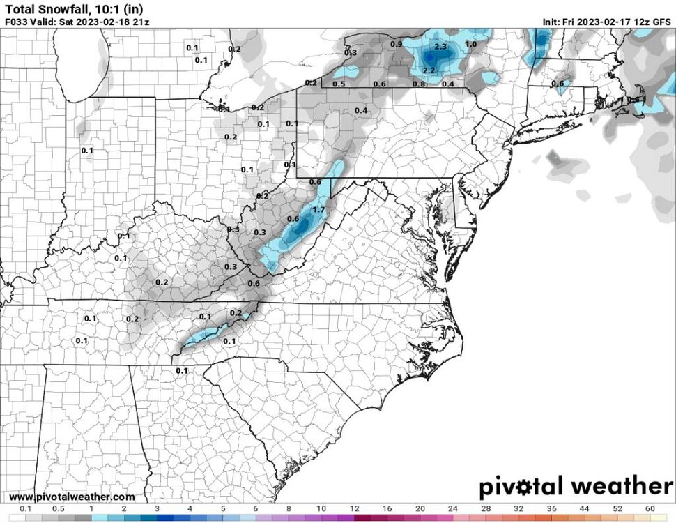
-
2022-2023 Fall/Winter Mountains Thread
Met1985 replied to BlueRidgeFolklore's topic in Southeastern States
Snow showers are reported from our friends in Tennessee. The temp has been crashing since 7 am this morning. We have gone from 56 to 39 currently. -
2022-2023 Fall/Winter Mountains Thread
Met1985 replied to BlueRidgeFolklore's topic in Southeastern States
12 gfs showing some flakes along the border. Sent from my SM-G998U using Tapatalk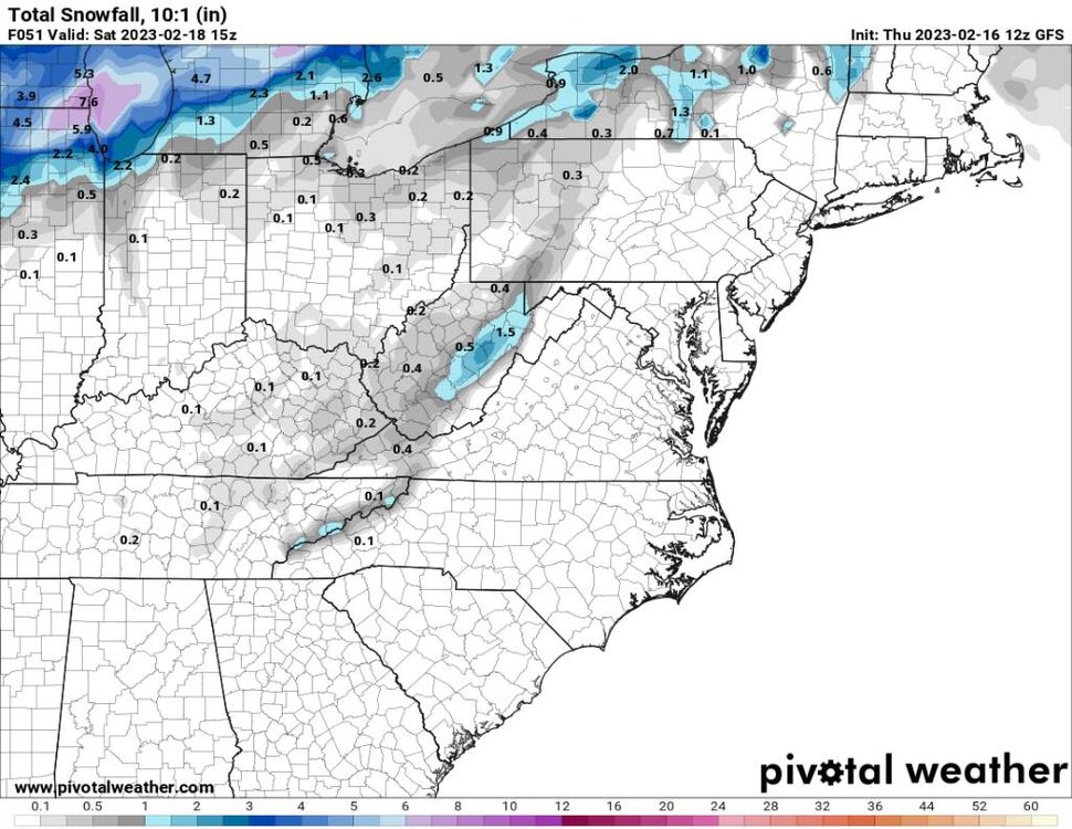
-
2022-2023 Fall/Winter Mountains Thread
Met1985 replied to BlueRidgeFolklore's topic in Southeastern States
Looks like we may see some upslope snow tomorrow into tomorrow night for some places. -
2022-2023 Fall/Winter Mountains Thread
Met1985 replied to BlueRidgeFolklore's topic in Southeastern States
Man I absolutely love Charleston! Went down there on Christmas for a week. -
Yalls chances are fast fading. Climo is not on yalls side sadly.
-
2022-2023 Fall/Winter Mountains Thread
Met1985 replied to BlueRidgeFolklore's topic in Southeastern States
Yeah as much rain as we saw we could have easily saw a foot plus. A few things that I learned is that apparently the models don't know shit 2 days out especially with a synoptic storm. GSP did GSP things and were right. Good on them. So far this winter is a D for me. -
2022-2023 Fall/Winter Mountains Thread
Met1985 replied to BlueRidgeFolklore's topic in Southeastern States
White rain here now. Huge flakes. -
2022-2023 Fall/Winter Mountains Thread
Met1985 replied to BlueRidgeFolklore's topic in Southeastern States
Got no clue about that. Maybe one of the moderators know. -
2022-2023 Fall/Winter Mountains Thread
Met1985 replied to BlueRidgeFolklore's topic in Southeastern States
Temp right at 32/33 drgrees with heavy sleet. Truck and deck are covered in ice now. -
2022-2023 Fall/Winter Mountains Thread
Met1985 replied to BlueRidgeFolklore's topic in Southeastern States
Down to 33 with a heavy mix -
2022-2023 Fall/Winter Mountains Thread
Met1985 replied to BlueRidgeFolklore's topic in Southeastern States
Im sitting at 34 currently. What's everyone got? -
2022-2023 Fall/Winter Mountains Thread
Met1985 replied to BlueRidgeFolklore's topic in Southeastern States
Also for what it's worth the recent hrrr is really picking up on the defamation band swinging through here tomorrow morning. -
2022-2023 Fall/Winter Mountains Thread
Met1985 replied to BlueRidgeFolklore's topic in Southeastern States
We are getting heavier returns currently that are coming down as a sleet, rain, snow mixture currently. Really huge drops and flakes. -
2022-2023 Fall/Winter Mountains Thread
Met1985 replied to BlueRidgeFolklore's topic in Southeastern States
In my opinion I wouldn't worry if you go from Frozen to liquid currently because I think once the ull gets East of us you will change back to frozen in my opinion. I could be wrong but that is my best guess on how this may go. -
2022-2023 Fall/Winter Mountains Thread
Met1985 replied to BlueRidgeFolklore's topic in Southeastern States
You can see bright banding going on in Transylvania and southern Haywood currently. I bet there are some big il flakes in there. -
2022-2023 Fall/Winter Mountains Thread
Met1985 replied to BlueRidgeFolklore's topic in Southeastern States
Yeah the ull is clearly becoming a beast. And that thing is just starting to really get developed. All good signs if you ask me. -
2022-2023 Fall/Winter Mountains Thread
Met1985 replied to BlueRidgeFolklore's topic in Southeastern States
It's go time baby! Good luck to all here in the mountains and foothills! -
2022-2023 Fall/Winter Mountains Thread
Met1985 replied to BlueRidgeFolklore's topic in Southeastern States
Steady sleet at the moment.

.jpg.42c964aec475fd910372eb8cea84b14b.jpg)


