HighStakes
-
Posts
4,528 -
Joined
-
Last visited
Content Type
Profiles
Blogs
Forums
American Weather
Media Demo
Store
Gallery
Everything posted by HighStakes
-
Complete whiff here. Not even a single flake that I can recall just cloudy and very cold. I think Reisterstown was the cut off. Maybe an inch or 2 down there.
-
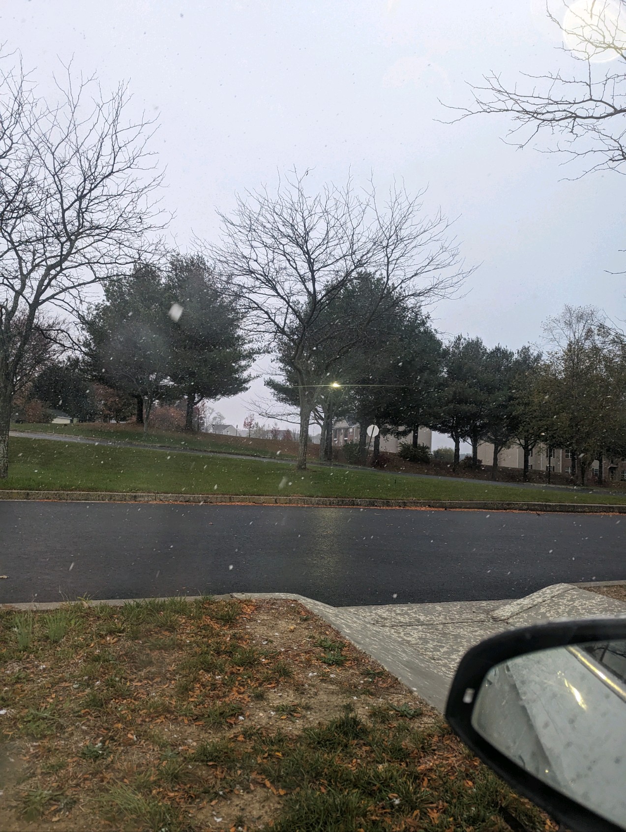
Nice snow shower going on at the moment.
-
BWI: 32.6. DCA: 20.7 IAD: 34.2 RIC: 14.7 Tiebreaker SBY: 12.7
-
I'm not sure what you mean. 2003 was not a wet snow. Even when it changed to sleet it was still very cold. Temps did warm into Monday morning and it all ended as a final burst of snow. It did warm after the storm and another small feature caused light snow overnight Monday into Tuesday and that was heavier wetter snow.
-
Teens throughout the event. Some high single digits and low teens for a while north of the city.
-
79, 83, 96, 2003, 2016 very cold storms. Only 2010 had marginal cold.
-
That's great! It's going to be electric.
-
Yeah, I gave up.
-
Unreal!! There's no way the son can be that big of a creep but it's not surprising. The new lease situation is very unnerving.
-
2023 Mid-Atlantic Severe Wx Thread (General Discussion)
HighStakes replied to Kmlwx's topic in Mid Atlantic
We got lucky!! Thanks! -
2023 Mid-Atlantic Severe Wx Thread (General Discussion)
HighStakes replied to Kmlwx's topic in Mid Atlantic
I think one of them split my neighbors tree. Felt like it came right into my house. I thought the worst was over and I was near a window looking outside. Scared the hell out of me. -
2023 Mid-Atlantic Severe Wx Thread (General Discussion)
HighStakes replied to Kmlwx's topic in Mid Atlantic
Here too. Horrible lightning during storm. -
2023 Mid-Atlantic Severe Wx Thread (General Discussion)
HighStakes replied to Kmlwx's topic in Mid Atlantic
- 2,785 replies
-
- 2
-

-
- severe
- thunderstorms
- (and 3 more)
-
2023 Mid-Atlantic Severe Wx Thread (General Discussion)
HighStakes replied to Kmlwx's topic in Mid Atlantic
My house is good but neighbor lost their shed and trampoline. I think the worst was just north of us. Glad you made it home ok. -
2023 Mid-Atlantic Severe Wx Thread (General Discussion)
HighStakes replied to Kmlwx's topic in Mid Atlantic
That was intense. Worst storm I've experienced since moving here 15 years ago. Went to the basement for this one.- 2,785 replies
-
- 6
-
-

-
- severe
- thunderstorms
- (and 3 more)
-
Get used to it. Lol. They are set up for long extended multi year run. They're only going to get better.
-
You might as well except the fact they you've witnessed your last 6 inch plus snowfall. It's entirely over! I'll be lucky to average 10 inches a year here in Manchester. Probably should shut down the board during winter going forward.
-
Really solid win! Great comeback. Horrible start, then take a 7 point lead, and then go down by 8 and then play great down the stretch.
-
Snowing a bit!
-
March Medium/Long Range Thread: The Empire Strikes Back
HighStakes replied to stormtracker's topic in Mid Atlantic
Exactly! I commend your posting style. You're always reasonable and logical. Unfortunately the crying and sulking by the usual suspects have at times made the thread unbearable. I just sounded a little like Howard lol. I would argue that with a more favorable pattern establishing itself things can easily change back to a very good look even as late as early next week. Despite the seasonal trend this is definitely a much different pattern taking over so expecting the same outcome may be the easy of waythinking but will probably end up wrong as we should have multiple legitimate threats through the end of the month with the usual caveats being applied especially for the cities and low lands. Living and dying by each individual operational run has seemed to reach and all time low by some of our more seasoned posters. Paranoia at its finest. -
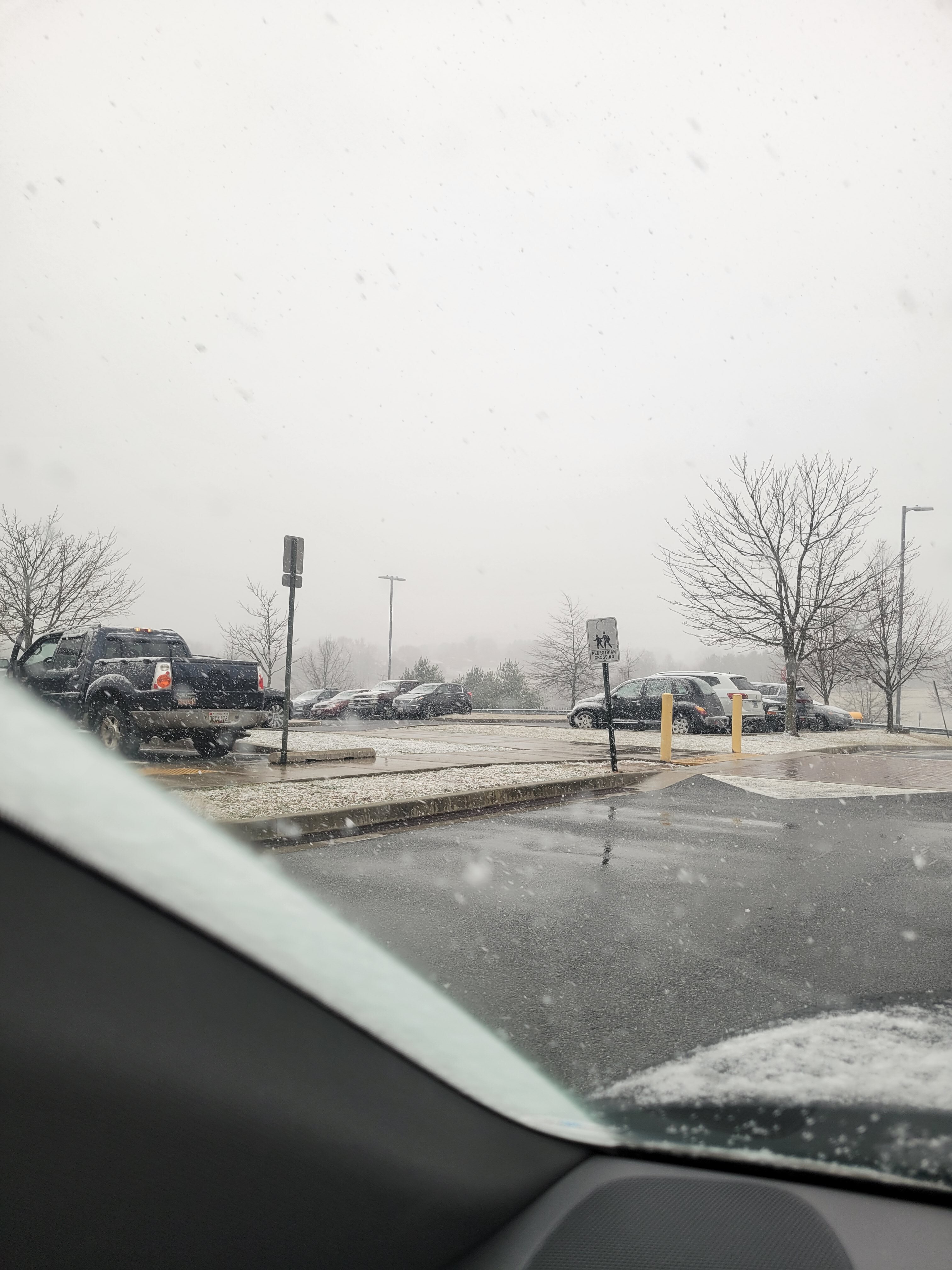
Heavy snow.
-
Moderate snow.
-
Sloppy mix.