HighStakes
-
Posts
4,528 -
Joined
-
Last visited
Content Type
Profiles
Blogs
Forums
American Weather
Media Demo
Store
Gallery
Everything posted by HighStakes
-
March Medium/Long Range Thread: The Empire Strikes Back
HighStakes replied to stormtracker's topic in Mid Atlantic
It's time for you to hand over the reigns to Heisy to take over for PBP. -
Flurries.
-
Even if we end up not getting any meaningful snow it's really looking like we're in for a prolonged period of miserable early spring weather. Ensembles are all in solid agreement that indices are taking the first week in March. Could be very cold right into mid April.
-
Late February will be rocking. February Long range Discussion thread
HighStakes replied to Ji's topic in Mid Atlantic
Scranton's winter has looked a typical Charlotte winter lol. -
I was at the game last Saturday against Penn St. and was surprised at the energy in the building for a noon start. It was definitely loud and I told my friend you can definitely feel a difference in the fan base. I thought the early start last night might cause a late arriving crowd but that wasn't the case. Glad to see the place rocking! Definitely reminds me of the environment in luring those Duke/UNC games.
-
Late February will be rocking. February Long range Discussion thread
HighStakes replied to Ji's topic in Mid Atlantic
JB over under for snow rest of the way. IAD/DCA: 12 BWI: 14 PHL: 15 I think my 7 leg same game Parlay at +1600 for the SB looks better. -
I got 7-8 inches of snow on March 31st 2014. Highest elevations around the area got 9-10. Dynamic system turned heavy rain into heavy snow. ULL really cooled the 850's and the storm went to town. Heavy snow for about 8 consecutive hours. Continued to snow until around midnight but by then temps rose a couple degrees and system kind of snowed itself out as best dynamics moved out of the region. Westminster got 4 with some reports of 6 in the highest hills. Hanover PA got 4-6. Hampstead just 4 miles down the road got 4-6. Reisterstown 1-2. Basically need to be 800 feet to see the best snows. This would've been a 12-18 inch storm if it weren't for so late in the season. Now with this upcoming storm on February 12th we're desperately struggling to match the set up of a storm that occurred 6 weeks later just about in Early April. Still possible someone gets very lucky on Sunday!
-
Late February will be rocking. February Long range Discussion thread
HighStakes replied to Ji's topic in Mid Atlantic
Yes it was 2001/2002. -
Late February will be rocking. February Long range Discussion thread
HighStakes replied to Ji's topic in Mid Atlantic
Yes until tomorrow morning -
Late February will be rocking. February Long range Discussion thread
HighStakes replied to Ji's topic in Mid Atlantic
It doesn't matter what next year will be! We just went through a snowless January at +10. A system came through last night with a narrow 30 mile swath and nobody even got an inch. There's no way next year can be worse. These little spats are cluttering the thread over speculation if not paranoia!! -
Jan 31 - Feb 1 Snow/Sleet/Misery Obs & Disco
HighStakes replied to NorthArlington101's topic in Mid Atlantic
Light snow! -
Jan 31 - Feb 1 Snow/Sleet/Misery Obs & Disco
HighStakes replied to NorthArlington101's topic in Mid Atlantic
It simply just can't get any worse! This is most pathetic run we've ever had. Period. -
The “is it ever going to snow again” discussion.
HighStakes replied to psuhoffman's topic in Mid Atlantic
Yes he was! In recent years he gets destroyed and bashed on here much to his own doing but there was a time years ago he was very good. In 2002 he kept insisting the cold and snow was coming and of course it never did but after that he had a good run and made some excellent seasonal forecasts. He had a good call on the flip to cold in late January 2007 and went warm the following winter which turned out accurate in 2008. I would say stubbornness in the 2011/2012 winter started his downhill spiral. -
The “is it ever going to snow again” discussion.
HighStakes replied to psuhoffman's topic in Mid Atlantic
He really has destroyed his legacy. I really believe the falling out at AccuWeather put him on an extreme path. Part of it could be just getting a little whacky with age and burnt out from all the years. Does the guy ever get more than 4 hours sleep in a night? The other part of the explanation belongs in the political forum so I digress. -
1/25: .5 Total: 1.5
-
Still mostly snow here. This would've easily been 2-3 inches if we had a solid wall of precip. It just hasn't been that heavy, mostly light with some moderate burst.
-
Back to all snow. Heaviest of the day.
-
Had light to at times moderate snow for roughly 45 minutes. Mostly sleet with some flakes mixed in now. Picked up a dusting. 32.
-
Just started flurrying.
-
1/23: 1.0 Total: 1.0
-
January/February Mid/Long Range Disco IV: A New Hope
HighStakes replied to stormtracker's topic in Mid Atlantic
1899! -
- 213 replies
-
- 21
-

-
I would say we look good for a couple inches Wednesday but I'm so skiddish with the way everything has gone.
-
It feels like we live in the deep south and only see snow once every few years. Lol.
-
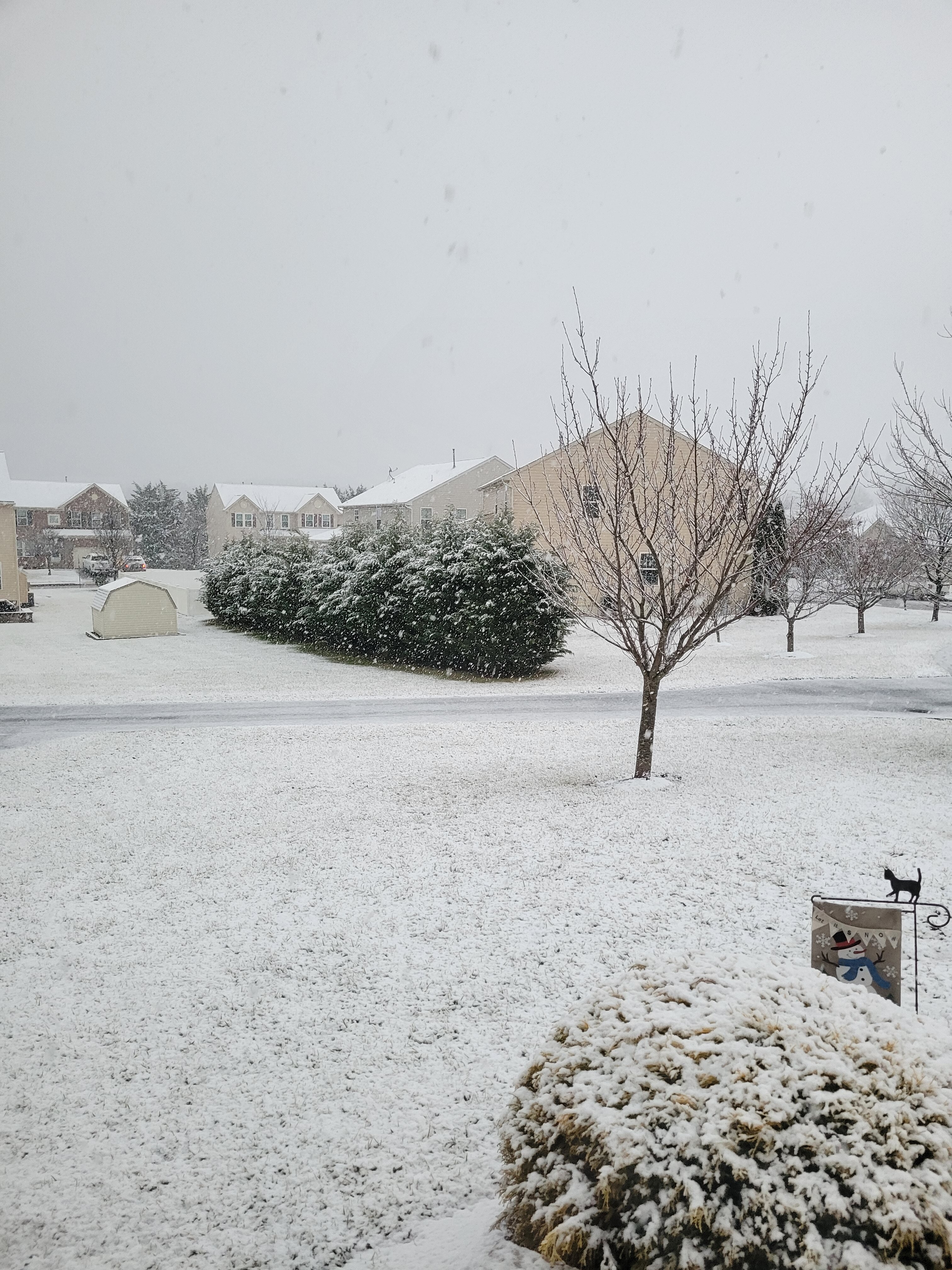
Heavy Snow. All surfaces covered including streets and pavements. Finally on the board!!