hooralph
-
Posts
1,467 -
Joined
-
Last visited
Content Type
Profiles
Blogs
Forums
American Weather
Media Demo
Store
Gallery
Everything posted by hooralph
-
This is some Ghostbusters shit
-
It's like someone is running a ChatGPT image prompt repeatedly saying, "make it more extreme."
-
-
-
It looks like it was run on a LLM trained on the KU books and this forum.
-
-
-
That's 12z (last run).
-
Call in the National Guard for Delmarva
-
Buckle up. We about to get NAM'd.
-
There's no definition of a KU if/until they publish another edition. It was a curated list. It's like a HOF debate in sports.
-
Jeff - the National Weather Service in NWS Upton NY has issued a Winter Storm Watch. Please pay attention to the guidance below. Severe Winter Storm Watch issued February 20 at 1:12PM EST until February 23 at 6:00PM EST by NWS Upton NY Description * WHAT...Heavy snow possible. Total snow accumulations between 6 and 10 inches possible. Winds could gust as high as 40 mph. * WHERE...Portions of southern Connecticut, northeast New Jersey, and southeast New York. * WHEN...From Sunday morning through Monday afternoon. * IMPACTS...Travel could be very difficult. Areas of blowing snow could significantly reduce visibility. The hazardous conditions could impact the Monday morning and evening commutes. The combination of gusty winds and heavy wet snow could bring down tree branches.
-
Crowd is gathering in Bryant Park for the most important Euro run in the history of humanity.
-
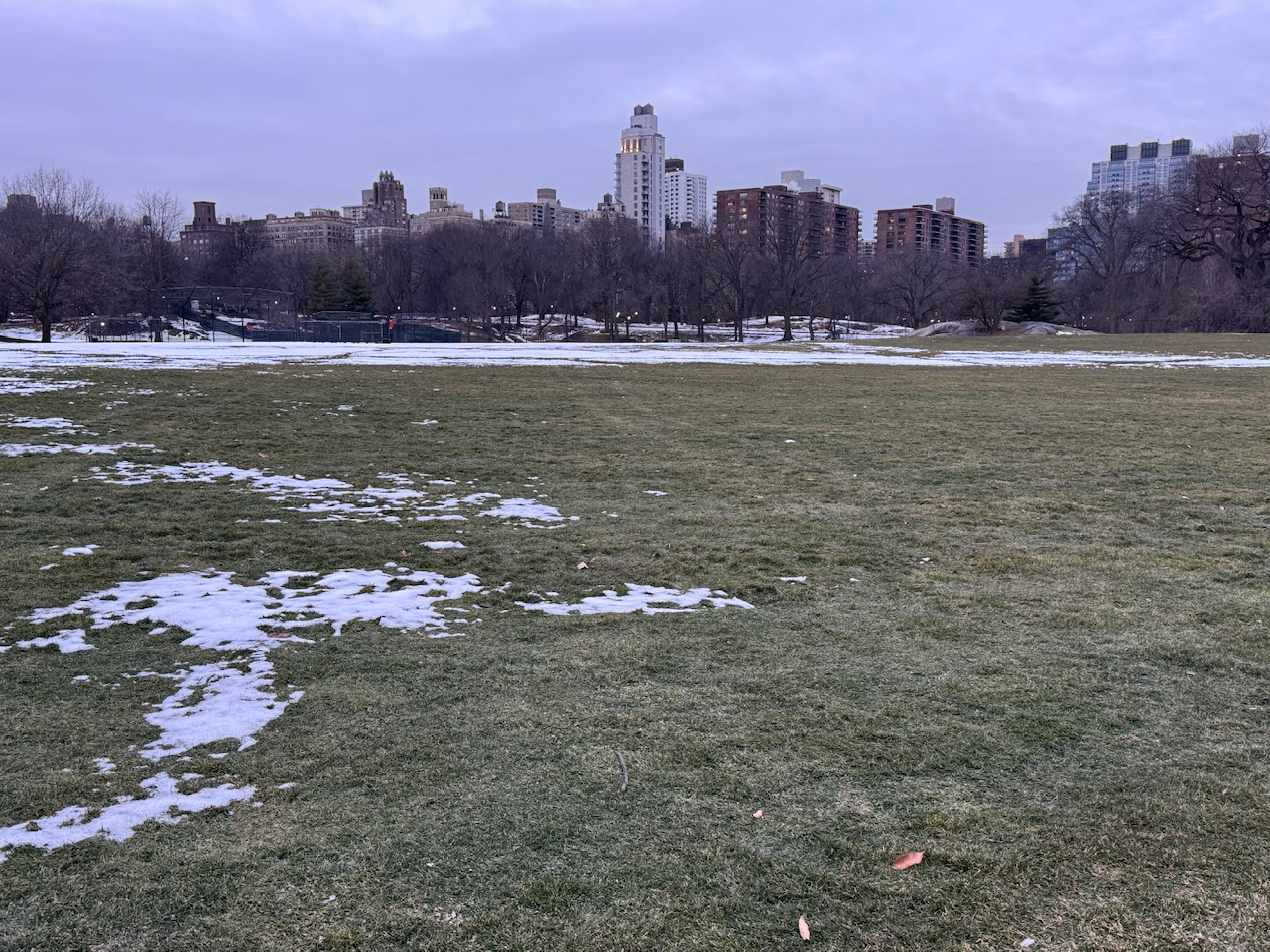
The melting has reached a tipping point in Central Park.

-
What is happening
-
Are people still trying to make this storm happen?
-
Manhole fire season is about to take off. Gonna sound like 4th of July around here.
-
Last week the New York Times wrote about the weather app problem (spitting out raw model output) and yesterday the New Yorker wrote about the Forecaster Wars / influencer garbage on X. Those who know me IRL know I'm actually working on a weather app to cut through that bullshit and give people real guidance. This group isn't the audience though , your friends and family consuming the crap out there are.
-
OK these caught my attention. If you've never read this New Yorker piece about that quake (and the risk of another one), it's one of the best pieces of non-fiction magazine writing science you will ever read. It won a Pulitzer prize.: https://www.newyorker.com/magazine/2015/07/20/the-really-big-one My first job out of college was working as a Guide at Monticello. I always managed to slip in Jefferson's weather diary and in the winter talked about this storm and the Christmas 1776 storm (he was at Monticello for it while Washington was crossing the Delaware).
-
-
Extrapolating the 84 hour NAM to save a storm threat is like rummaging through the medicine cabinet for cough medicine because you are out of alcohol.
-
The legacy of the Boxing Day storm creates false hope for a miraculous comeback just like the 2004 Sox give fan bases false hope about coming back from 3-0 down and the 2016 Pats from coming back 28-3 in the 4th Quarter.
-
This is for the best.
-