hooralph
-
Posts
1,467 -
Joined
-
Last visited
Content Type
Profiles
Blogs
Forums
American Weather
Media Demo
Store
Gallery
Everything posted by hooralph
-
I stop caring what the ceiling might have been once there is heavy snow flying and I'm outside in it. A good jebwalk cures everything.
-
I stop caring what the ceiling might have been once there is heavy snow flying and I'm outside in it. A good jebwalk cures everything.
-
Wait - was that a forecast and not an observation? Should I have put that in the other thread?
-
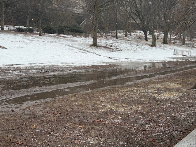
If the winds meet expectations I bet we will have lots of trees down in places like Riverside Park where the ground is a swamp and the snow has been sticking to the trees for hours (but not the ground).
-
After 5 hours of snow (all snow!) on the UWS it's starting to stick to car windshields. If you didn't have access to modern forecasting, today so far would be indistinguishable from a miserable March white rain event. Makes me think about the generations that preceded us (I mean native Americans and colonial settlers). Would they have known what's coming?
-
I went low on the KNYC/CPK forecast - 15.1" I think - largely because I think this will come in under the extreme projections but also because the heat island with this storm will be very real. We'll lose a lot of the early accumulation. People will bitch about NWS underreporting at Central Park, but the reality is the ground is warm and wet. I surveyed Riverside a short while ago and can’t find any place that won’t either lose accumulation to the warm wet ground or blowing.
-
been snowing on UWS for an hour + but not even sticking to cars yet.
-
 NYC 15.1 LGA 18.2 ISP 22.5 JFK 19.8 EWR 17.5
 -
I missed Feb 2003 in Boston when we went on a stupid long weekend getaway to Quebec. We had Boston news on the hotel TV so I could watch the coverage while we sat under moonlit skies and the coldest temps I’ve ever experienced (-20). I liked to think I experienced the cold HP that made it all possible.
-
-
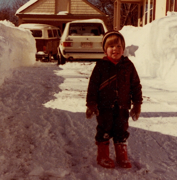
No love for the Bus?? It's the most 70s picture ever. My Dad was a master with the snowblower. I think the 80s hurt him badly.
-
Maynard, MA. 1978. But looking to tug it SE it a bit.
-
I'm in NYC. Been here since 2012. And yes. But now my son is picking up the mantle and is fired up for tomorrow.
-
What's up, Ken. I pulled that book out last night for my son.
-
27" in NYC at 1 PM Thu and it's still going
-

-
HRRRRRRRRRRRRNANDO
-

-
Probably not?
-
Affected Areas Eastern Essex; Western Norfolk; Southeast Middlesex; Suffolk; Eastern Norfolk; Northern Bristol; Western Plymouth; Eastern Plymouth; Southern Bristol; Southern Plymouth; Barnstable; Dukes; Northwest Providence; Southeast Providence; Western Kent; Eastern Kent; Bristol; Washington; Newport; Block Island Timing Effective Sat, Feb 21, 12:29 PM EST Onset Sun, Feb 22, 4:00 PM EST Until Tue, Feb 24, 7:00 AM EST
-
he National Weather Service in NWS Boston/Norton MA has issued a Blizzard Warning. Please pay attention to the guidance below. Extreme Blizzard Warning issued February 21 at 12:29PM EST until February 24 at 7:00AM EST by NWS Boston/Norton MA Description * WHAT...Blizzard conditions expected. Total snow accumulations between 1 and 2 feet. Winds gusting as high as 60 mph. * WHERE...Portions of eastern, northeastern, and southeastern Massachusetts and northern and southern Rhode Island. This includes Boston to Providence corridor. * WHEN...From 4 PM Sunday to 7 AM EST Tuesday. * IMPACTS...Visibilities may drop below 1/4 mile due to falling and blowing snow. The strong winds and weight of snow on tree limbs may down power lines and could cause power outages. Whiteout conditions are expected and will make travel treacherous and potentially life-threatening. Travel could be very difficult to impossible. The hazardous conditions will impact the Monday morning and evening commutes. Strong winds could cause tree damage.
-
NAM is cocaine bear. NAM crossed the streams and is summoning Gozer the Gozerian.
-
12z NAM crossed the streams and is summoning Gozer the Gozerian.
-
Somehow it's... slower and stronger?
-
Go get lost in Central Park. Will be a top tier experience.