hooralph
-
Posts
1,467 -
Joined
-
Last visited
Content Type
Profiles
Blogs
Forums
American Weather
Media Demo
Store
Gallery
Everything posted by hooralph
-
Sadly, i think the 1.6" is not far off for Manhattan. My eyeball measurements would be more like 1.75; I don't think we got to 2".
-
 Not adding up to too much at this point - maybe 1.5 or a bit more? But a stunning night.
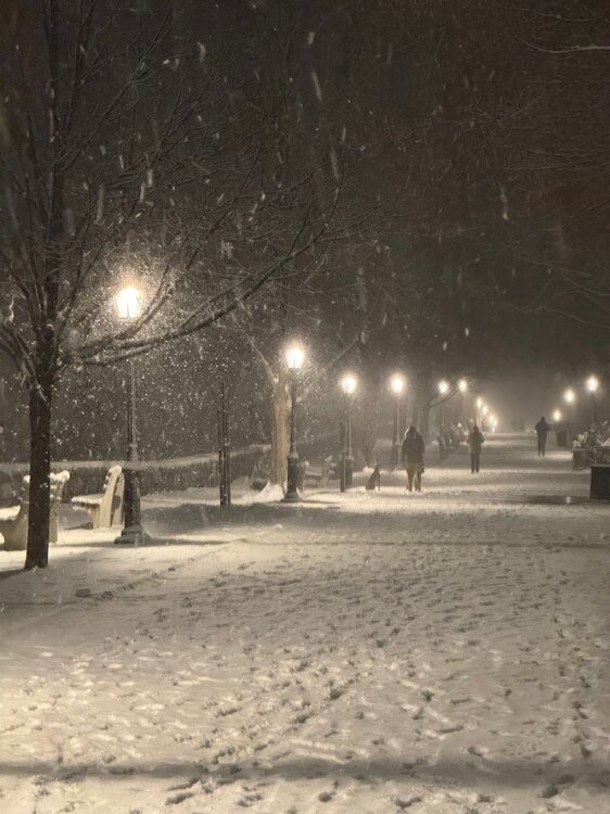
-
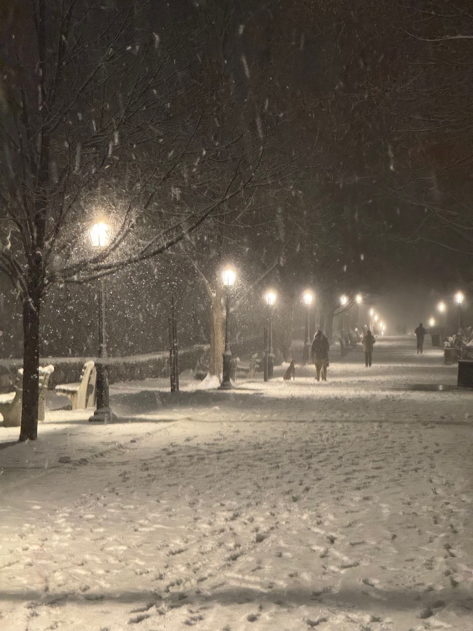
It was not forecast to get heavy until 6-9 here. Whether we get to 3-5 or not remains to be seen, but up where I am (the low 100s near the Hudson) all side streets are covered. It is sticking and accumulating quickly now.
-
Escalated quickly here on the UWS. All cross streets snow covered, even Riverside Drive (the main road). Not having trouble sticking now
-
Never mind Cajun Navy gonna need skimobiles.

-
How much for... the oil rigs and shrimp boats?

-
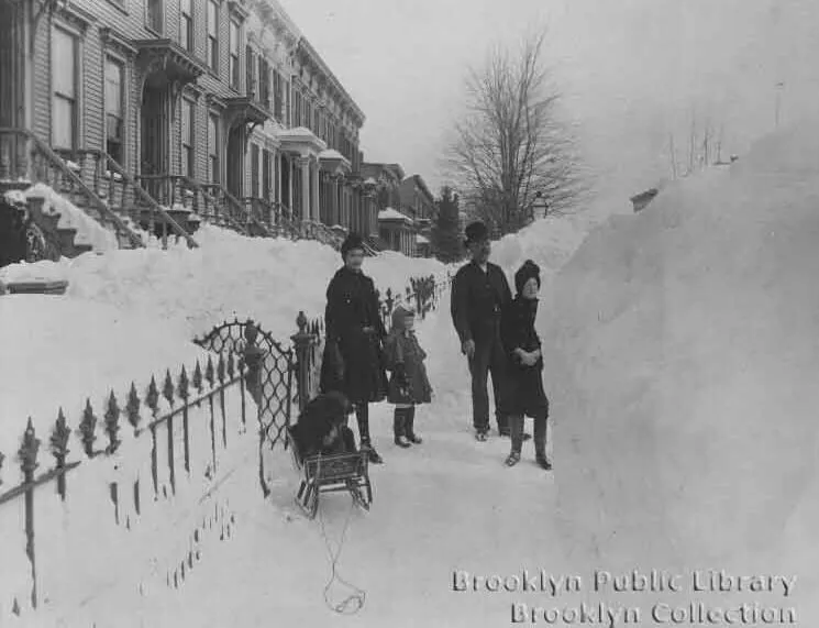
1899 says hi.
-
Anyone who bet on “enough snow to sled” in Manhattan can collect
- 993 replies
-
- 1
-

-
- metsfan vs snowman
- bomb
- (and 2 more)
-
This past week here in the city was brutal. Not the coldest temps we've seen this decade, but the relentless wind made it miserable.
-
I suspect 1888 and 1947 are the true GOATs and would stand alone probably in the 30s using today's measurement practices.
- 993 replies
-
- 3
-
-
- metsfan vs snowman
- bomb
- (and 2 more)
-
Yeah I don't think they were brushing off the snowboard to get measurements every 6 hours in 1888.
- 993 replies
-
- 4
-

-

-
- metsfan vs snowman
- bomb
- (and 2 more)
-
Snowfall NYC subforum Jan 6 and OBS if needed
hooralph replied to wdrag's topic in New York City Metro
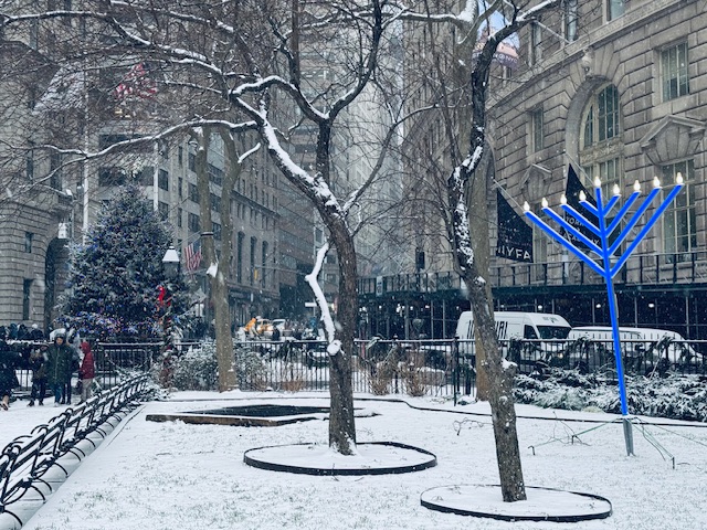
Nice mood snow downtown. Suspect we are doing better than back home on the UWS…
-
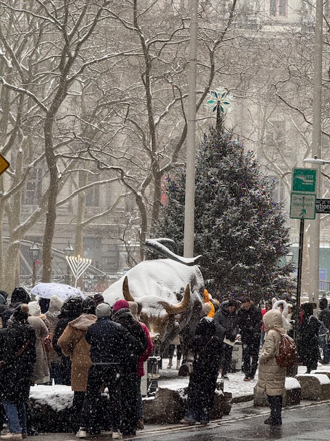
Snowfall NYC subforum Jan 6 and OBS if needed
hooralph replied to wdrag's topic in New York City Metro
The Bull getting dusted -
Epic, epic rolling thunder. Best of the year.
-
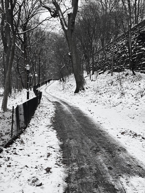
Really impressive how tough this little snowpack has been. White Boxing Day too. In the shade the pack is only interrupted by leaves that weren’t cleaned up.
-
Not with a ruler, but eyeballed an inch.
-
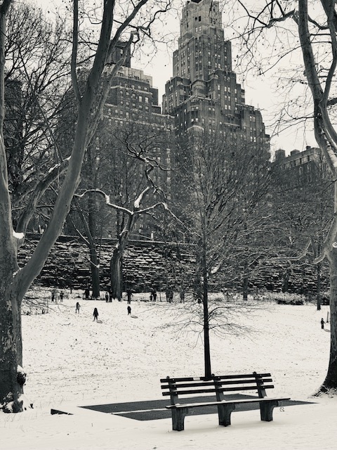
I don’t care if it holds on until tomorrow. Let the record show: this was Christmas Eve in Manhattan, 2024.
- 155 replies
-
- 20
-
-
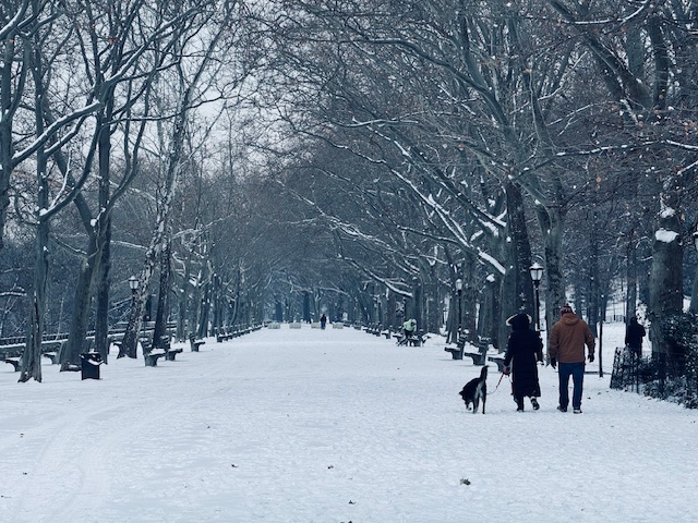
Absolutely shocked at what I woke up to. Just back from a Jebwalk through Riverside Park and while I didn’t measure I can confidently say we topped 2”.
-
I'm tracking this like "ha ha.. wow... November hurricane." And then I remembered I'm supposed to be in Orlando Tue-Thu next week...
-
Been staring at this live cam in Punta Gorda. Per the Sea Level Rise Viewer, that location gets wet with about 4' of rise; looks like it's about 3' up the wall right now.
-
Not a surprise, but just seeing now that per the 11 AM update Port Charlotte is now ground zero for surge
-
I just checked. Of the more than 1400 posts in the main thread, there is one use of the word "biblical" and it was in reference to a model run. Otherwise, the thread is full of people assessing actual data and science and comparing to past circumstances and situations. You are processing this through a filter of relativist, denialist bullshit, the same shit that has people tuning out government warnings and staying in harms way. Can you name one storm that posed a greater surge threat to the stretch of coast from Tampa to Port Charlotte and explain why? Otherwise, what people are talking about is actual science.
-
Tornado warnings already on their doorstep. I think it's too late.
-
Oh they are squarely in A. Again, right on the water. This is the map of their location (red dot) with a 6' surge, which supports their experience that they are on "higher ground" as 4-5' surges have not reached them. At 7 feet their house is wet and it's off to the roof from there... "Best case" scenario is it's "only" an 8' surge and they only take on about a foot of water but damage to their entire area will be substantial. Obviously a 12' surge will render the entire area uninhabitable.
-
I can't speak to all the individual choices that go into not evacuating, but in the case of my in-laws (on a canal in Port Charlotte), it is a toxic stew of nihilism/fatalism, MAGA-disenchantment with "experts" and just bad info or rationalizing based on past experience. My MIL last night said "It's a wait and see game as to where it makes landfall. Actually it would be better if it lands closer to us because a lot less surge if that happens." With Helene, the amount of people (at least per social media) in Appalachia who were "not expecting" to be impacted that way was an alarm bell that says how people are getting critical information is getting distorted by cord cutting and reliance on social media.