

michsnowfreak
-
Posts
17,125 -
Joined
-
Last visited
Content Type
Profiles
Blogs
Forums
American Weather
Media Demo
Store
Gallery
Everything posted by michsnowfreak
-
The 1970s were the coldest and in many cases snowiest decade on record. Thats why i brought up 100 years, though idk if winter sports were popular in 1920. If a snowmobiles heyday was in the 70s, i would see their point. The same chart ending in 1970 would show Buffalos winters had gotten 1.3° colder in the previous 50 years. just in case you're interested, here is Buffalos avg 6"+ depth days per decade 1900s- 21 1910s- 35 1920s- 26 1930s- 17 1940s- 27 1950s- 11 1960s- 32 1970s- 38 1980s- 27 1990s- 20 2000s- 26 2010s- 21 source: xmacis
-
Picked up a quick 0.9" of snow with the band. At 13.8"on the season.
-
Buffalo's average winter temperature averages 1.3° warmer and 2 days less per year with snow on the ground than 100 years ago. (Snowfall itself has increased significantly). It would seem to me like anyone who's into snow activities would still be into them the same. I go to northern MI every Feb and all you see is snowmobiles. We are often the only car parked in a restaurant lot of snowmobiles . I always thought of mid to late winter as the best time over early winter, even though Bing fills our minds with those gorgeous December scenes. Here, our winter temperatures are 0.8° warmer than 100 years ago, snowfall several inches more, and snowcover days have held nearly steady. Basically, it would seem like the slight increase in temperature is giving us more snow & precipitation so the net result is similar snowcover. Again im talking overall. Obviously it varies from year to year. Between 2012-15, the Great Lakes just saw 2 years with record ice cover and 1 year with record early U.P. snowmelt.
-
Makes sense. We had 3.6". I have a friend in Toledi who posted a pic and im thinking, thats way more than an inch lol. Nice brief burst of heavy snow tonight. Probably near an inch in less than 2 hours
-
What did you get on Christmas? TOL only reported 1.0" but they are west of Toledo
-
I said it was ridiculous that Chicago was talking seasonal futility less than a week ago. And I still say its ridiculous lol. anything can happen i suppose.. Only 4 more months to go I guess.
-
what link do you use for the para gfs? it's stuck on like a week old run on tidbits.
-

Winter 2020-21 Medium/Long Range Discussion
michsnowfreak replied to Hoosier's topic in Lakes/Ohio Valley
Hopefully it would yield a good clipper pattern. Im all for a clipper parade and cold. We've had 3 snowfalls of 3-4" so far which us better than many, but each only lasted on the ground 3-4 days. If it's going to be smaller snows, let's add them up. If it's going to snow melt snow melt snow melt, let's get a big one. -
Well it helps that I have a lot of knowledge in my head about what are the good and bad years in Detroit lol. So I started by looking at snowfall at Chicago through December 31st, Then went down to December 15th. looked at all the years they were under 1" and compared it to Detroit snowfall to see how many of those times Detroit was 10" or more. It's not foolproof but I think I got it lol. Does that make sense?
-
The overnight system brought just 0.08" of light rain, but gusty winds and temperatures rising into the low 40s evaporated our Winter wonderland into piles and a few patches.
-
I played around a bit on xmacis, looks like its happened 3 times... 1932 2012 2020 1932 Detroit hit 10"+ on Nov 16 and Chicago was at 0.6". Season finished at 25.9" Detroit, 28.1" Chicago. 2012 Detroit hit 10"+ on Dec 29 and Chicago was at 0.8". Season finished at 47.7" Detroit, 30.1" Chicago. 2020 Detroit hit 10"+ on Dec 25 and Chicago was at 0.9". Season thru Dec 27 is 12.2" at Detroit, 0.9" Chicago.
-
After a surprise 3.6" of Christmas snow and seeing how much the models struggle/change run to run, I don't think ill ever feel fully confident of any scenario in any event.
-
Where was this pic taken from? Neat pic.
-
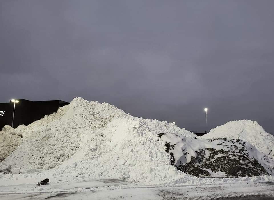
Weenie snow pile at the mall lol. Gray and cold winter day today following Christmas snow.
-
lake effect is amazing
-
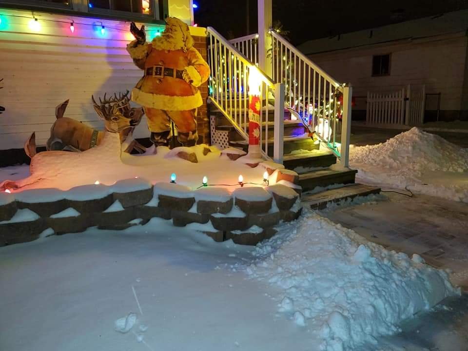
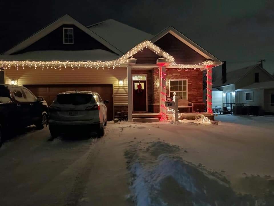
Finished with 3.6" of powder. Bit of blowing and drifting and very cold, as temps hovered in the upper teens to low 20s the entire event. What a Christmas treat. Since it was a model fail until midday Christmas Eve it was unexpected by most. But it fell on the one day most wouldn't mind. As much as 4-7" was reported near Port Huron. While much less fell west of Eastern MI, it still was an unexpected white Christmas for most with between a dusting and 2". I am at 12.9" on the season. Its been an odd season in that the eastern and southern suburbs of Detroit have seen much more than the north and west suburbs. DTW saw 3.0", putting them at 12.2" on the season.
-
not sure but xmacis may help. its pouring snow now in the last band.
-
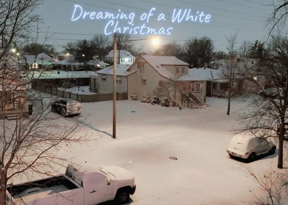
What a fun surprise event in eastern Michigan. Absolutely postcard Christmas weather. Snowing beautifully all day, probably around 3" now. With temperatures in the upper teens to low twenties it's pure powder.
-
Thank you and Merry Christmas! This is one of those dime a dozen snowfalls, but to fall starting on Christmas Eve night makes it magical. The excitement of kids waking up to fresh snow and Santa has come 1.5" of powder and should see an afternoon uptick. Already 3.5" near port huron. they may get 6 after gfs had not a flake yesterday at this time.
-
it was too east with the snow band tonight, the last model to correct west. but yes, they all seem to struggle
-
the gfs has seemed to have the poorest performance lately
-
Snow began to fall around 10:45 p.m. and quickly accumulated. What a Christmas treat and yet another example of how models cannot be trusted until the last minute. For as frustrating as the season has seemed so far, the November 30th snowstorm started as I was out cutting down a christmas tree, I had an outdoor christmas event the night of December 16th during that snowfall, and now a Christmas Eve night snowfall has begun which may surprise many locally by tmrw.
-
DTX upped forecast to snow (not snow likely) and up to 1" tonight and 1" tmrw.
-
Winter 2020-21 Medium/Long Range Discussion
michsnowfreak replied to Hoosier's topic in Lakes/Ohio Valley
I meant locking in in terms of what areas get hit and what areas don't. if a storms missing us we don't pay as close attention, but for those getting hit by the storm location matters. -
Winter 2020-21 Medium/Long Range Discussion
michsnowfreak replied to Hoosier's topic in Lakes/Ohio Valley
nothing on long range models ever locks in anywhere lol


