michsnowfreak
-
Posts
18,382 -
Joined
-
Last visited
Content Type
Profiles
Blogs
Forums
American Weather
Media Demo
Store
Gallery
Everything posted by michsnowfreak
-
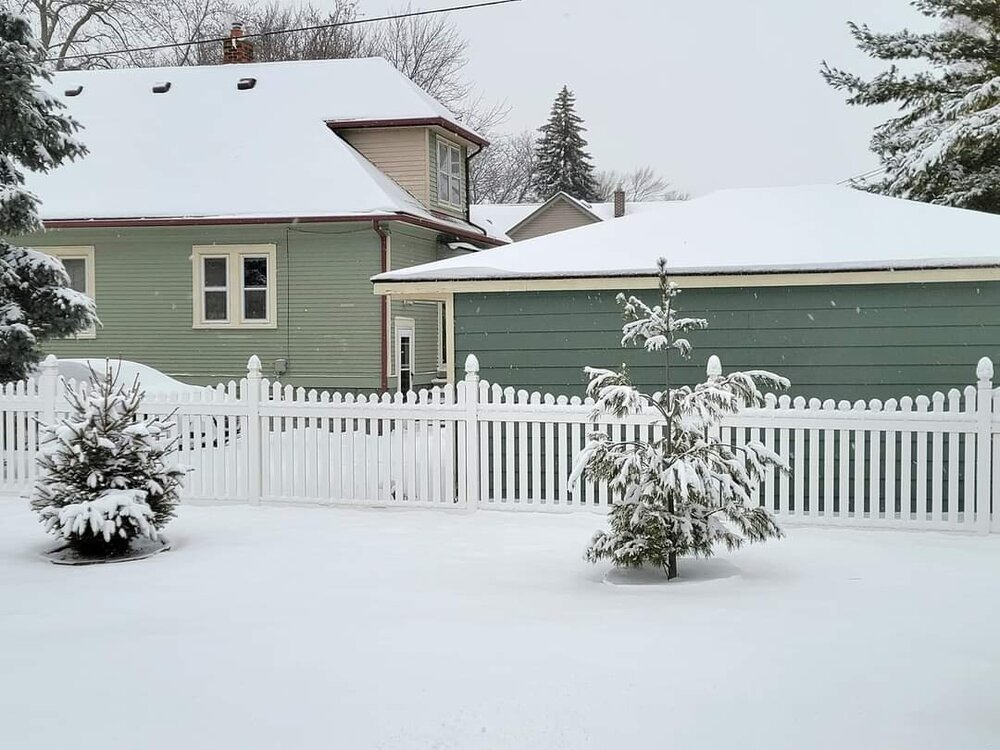
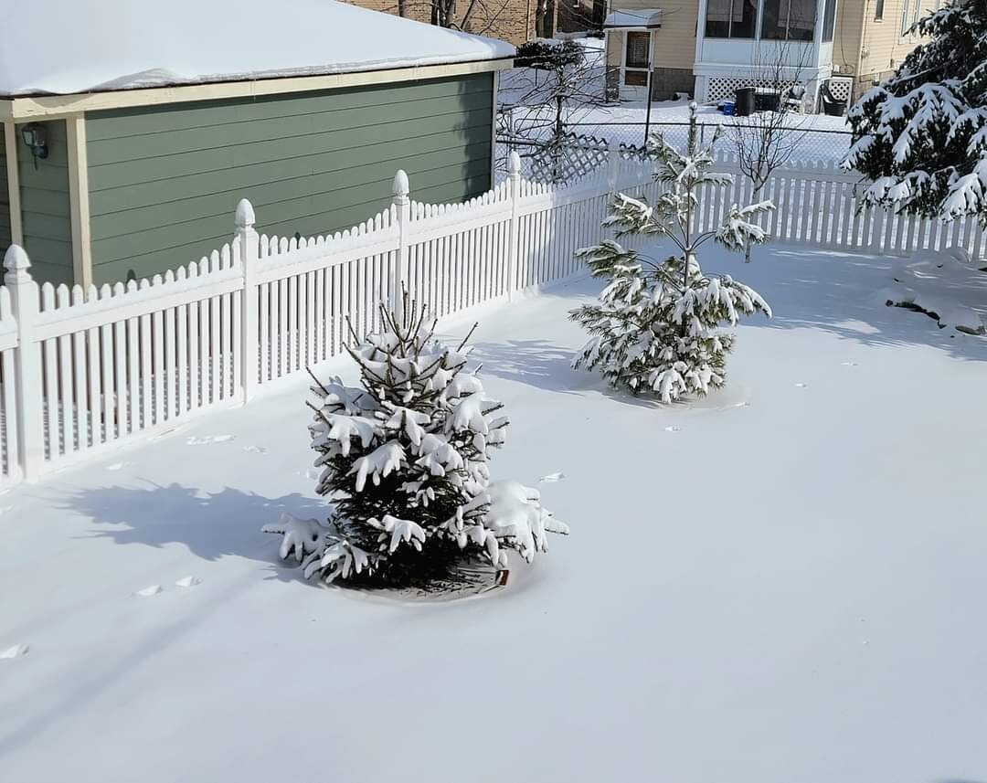
Very solid cold month. Ice fishing and skating abundant in SE MI, and that's not always the case.
-
Actually your late call ended up pretty close. As has been said multiple times....it was an 8-10" storm for the southern burbs, 9.2" officially for Detroit (DTW) and while north detroit city (your old stomping grounds?) northeast to macomb were the SE MI low spot, they still had 6-7. In the end another 6-10 storm area wide. Lol. Forecast 3-6, get 6-10, forecast 6-10, get 6-10, forecast 10-16, get 6-10. How much sleet did you get?
-
Some diamond dust light snow fell overnight from that little disturbance that passed through. I hear of some awesome light pillars (which I missed) and an absolutely incredible sparkle in the snow this morning.
-
Looks like officially 12.7" at TOL. Storm bust aside, which was unfortunately imminent early on, very solid winter scenes DTW to border. Monroe 10.2", Carleton 10.0", Wyandotte 9.3", DTW 9.2".
-
Deep Winter nights are here. It's a February tradition. Snow for Christmas? 50/50 shot. Want deep Winter in February? Book it.
-
I love that! Same here but not as extreme, as we only had 3" to work with (the first 6 wasn't budging lol)
-
These are great maps. Definitely looks like It turned into a widespread big storm without the epic numbers. Outside of that blob of 15 to 17" in Indiana, Just a few small areas of 12 plus. It's incredible to think of how high some of those laughable kuchera numbers were for such a widespread area. I honestly don't remember that even in some bigger storms (Feb 2011, Jan 2014, Feb 2015) that panned out with bigger numbers.
-
DTW had 9.2". So contrary to what you said yesterday, this was an 8+ storm for DTW. Macomb county was the screwzone locally on that screenshot, but it doesn't show up here.
-
The beauty of fresh white snow never gets old. Storm total snow with wave 1 was 6.0" on 0.75" liquid and wave 2 was 3.3" on 0.16" liquid.


-
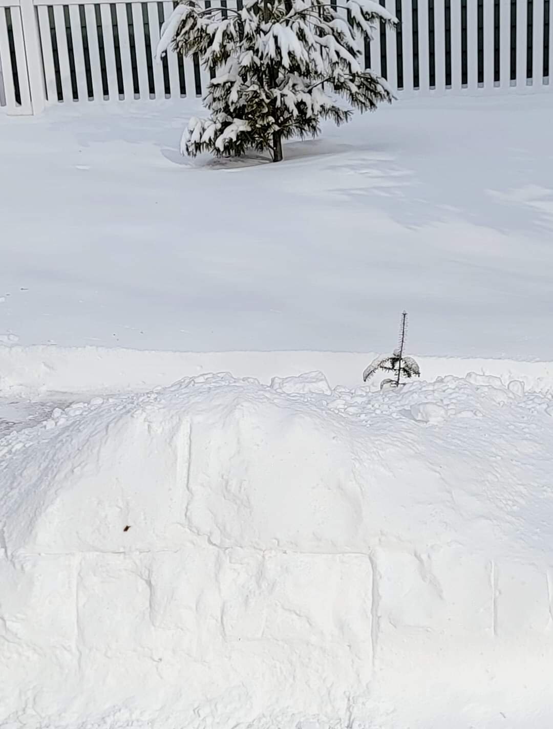
Looks great out there today. I am ashamed to say that my my giant snow pile days are over because I'm just in love with my snowblower. 2nd Winter with it.
-
I'm the same. Feel like it's 2 events, but have to stay consistent. If everyone else is considering it storm total, so should we. A storm with a brief lull. Both DTW (9.2") and YYZ (6.2") made out better than feared after a bust of huge totals was imminent.
-
Definitely had less than here but perhaps 1.5 is a bit low. Not sure. Ann Arbor had 1.6", DTW 3.0", Wyandotte 3.3", Monroe 4.0". Possibly near 6-7" right at the state line. 2 day totals Feb 2-3 Garden City- 7.7" Ann Arbor - 7.8" (6.2+1.6) DTW - 9.2" (6.2+3.0) Wyandotte- 9.3" (6.0+3.3) Carelton - 10.0" Monroe - 10.2" Toledo - 12.7" (4.3+8.4)
-
Nice. I Picked up 3.2" today as of 10:30 PM and still snowing. This is on top of yesterday's 6.0", so 9.2" between the 2 days. Deep Winter outside. Report out of Monroe of 4" today and 6" yesterday
-
Actually with today's over performance DTW has had an 8+ storm (2 waves but seems everyone is considering 1 storm). Just off the top of my head, Chicago, Milwaukee, Albany have not had a 6"+ storm yet.
-
Measuring very hard today. My snowboard had 4" on it but I'm accounting drifting for that. I have a big driveway and I took a ton of measurements, ranges from 1-5 and going with 2.6 so far and still snowing and blowing. Visibility has been half mile most of the afternoon. Today's drifty snow covers up the massive frozen chunky snowbanks with a marshmallow look. Top notch winter scenery. Should end up with 9 to 10" between the 2 waves.
-
You mean 8 between yesterday or 8 just today?
-
I'm glad I had the driveway clear because the snowboard is useless it's so drifty. But it does seem to be already be approaching 2", we should be able to easily see 3" today
-
Guess today's storm really did trend Northwest as well. For the radar the snow line goes all the way back to Lansing and right now DTW is at 0.5 mile visibility. Frustrations of the storm aside it's a very classic Winter day outside right now. Edit- Very surprised at how today is over performing. Just stepped outside for a minute and there's probably about 1.5 already, did not officially measure though. Will easily exceed 8 for the 2 day total
-
Chicago got 5.6". And actually, DTW very well may eclipse 8" since todays wave moved farther Northwest. I mean yeah it's 2 waves and I don't consider them the same event but that's what everyone was tracking the whole time. I'm surprised you are actually lowering the bar to 8", which Detroit has actually had more of than many of the cities you just listed, in the past 5 years. I thought you only cared if it was 18"+ otherwise you wanted 85 and Sunny. This storm was a nw trending, warm tongue, cement snow, flash freeze bust, but you know darn well Detroit has no problem typically getting 8 to 12" snow storms. It's eclipsing the foot that is that is like pulling teeth and the ironic thing about 2015 is that the jackpot zone actually lined up around the DTW corridor. The storm itself, while a good one, was not as fierce as the 1 the year before, but in that 2014 storm DTW only saw 11" while other areas saw 15 or 16".
-
Snowy, blowy and drifty. Today will definitely be over performing.
-
Records fell like domino's in 2013-14. But in terms of snowSTORM records, we just had the 3rd largest snowstorm in 2015. I foresee us eventually knocking over 2nd place, the 1974 storm, but I really doubt we ever touch the 1886 storm. Which was in April of all things. I really doubt you will ever surpass the 1967 or 1978 storm either, but you should be able to make a run at your 3rd.
-
I imagine down there in open areas ot is bad. It's snowing and blowing all over the place here. Some roads are still treacherous even where plowed.
-
I did my driveway and my mom's. It was OK but had to run the snow blower over multiple times because of the icy layer. Plow piles are quite impressive due to the water content. Today is a beautiful Winter day with snow falling and blowing. Should tack on a few inches of powder.
-
Monroe had 5 to 6" and they could easily get another 3" today. Not out of the question for them to hit 10" in total lol. And pixie dust my ass, after that cement we dealt with this deserves to come in as pure fluff lol.
-
Sheets of ice where the snow has been cleared. Definitely treacherous going. 6" of snow fell but would have been 10" if the vaunted kuchera ratios panned out. Looking like today's wave will give us some snow as well, fingers crossed.