michsnowfreak
-
Posts
18,458 -
Joined
-
Last visited
Content Type
Profiles
Blogs
Forums
American Weather
Media Demo
Store
Gallery
Everything posted by michsnowfreak
-

March 2022 General Discussion
michsnowfreak replied to SchaumburgStormer's topic in Lakes/Ohio Valley
We haven't been able to lock the 24 hour gfs in this winter. -
It is. Also, it's crazy to see the difference between the beginning of February and the end of February when it comes to that. I roll my eyes when it's early February and someone comments how their air fluff snow melted in the sun (undoubtedly with plenty of salt nearby) but it's legit at the end of February. That's why unless you have a deep glacier in place ala 2014 or 2015, snow cover season longevity has come to a close and now it's all about getting the storms. A storm with good rates always can overcome the sun angle in March and April.
-
March 2022 General Discussion
michsnowfreak replied to SchaumburgStormer's topic in Lakes/Ohio Valley
Regardless whether we're coming out of the most severe winter on record or the mildest, or anything in between, I always want additional Winter in March. Sitting at 39.5" of snow imby on the season. DTW 39.6" which is 3" above avg to date but March has been crappy in recent years. April has been better for snows lol. It ended up being a good Winter for frequent snowfalls, including two 6"+ storms, but no big dog. It's high time March gets her act together and produces a blockbuster snowstorm. Looking at historical data, it's crazy how many horrendous mild/snowless winters in the 1930s and 1950s saw a big March snowstorm. It was as if you expected it. Makes me think somewhere in cyclone area, or perhaps Wisconsin, or Northwest Iowa gets a big march storm. Though hopefully we do too lol. -
As another snowy February comes to a close, the sun angle is rearing it's ugly head as snow just gets zapped in the sun. Met winter stats to come after tmrw.
-
I have to continue to play the devil's advocate. And as a reminder, I much prefer Winter over summer. This Winter has not been great but it has certainly not been a crap Winter either. Ice on the lakes has been quite thick as this is the coldest January/February combo we've had since 2015. I counted my "beavis" Winter days of snow depth of 2"+ and a high of 35 or colder and I got 31 days. I've also had many additional days with snow on the ground either less than 2" or 2"+ but the high was 35+, and several additional days with the high below 35 but less than 2" of snow on the ground. When you take away the stats, I've seen people ice fishing frequently and there has been snow on the ground most of the time. In fact, one time I was sledding with my cousins and a facebook friend of mine who lives in Oklahoma said her friends just can't fathom what it's like to play in the snow for weeks when it has not just freshly fallen. And how she misses Michigan winters. So here's my question. What do we give the summer folks for their metrics? Because let me tell you, I have many friends/family who annoyingly can't wait to vacation south to get out of our cold weather by late winter and our summers are just not hot enough for them outside of heatwaves. I mean, our summers are plenty hot for me, but I'm talking about the average Joe. You can't give Winter these specific metrics and then just say "oh it's warm in summer". Chicago averages the same amount of days per year (45) with the high at or below 32 and a high at or above above 84. Many summer folks love to consider 90 as their magical threshold. They can easily say, "how unfair, we get 45 days a year with a high below freezing but we can only get 16 days a year with a high above 90". Chicago averages the same amount of days per year with the high at or below 22゚ as they do with the high at or above 90゚. If you take the absolute dead of Winter or dead of summer, Chicago has an ever so slightly greater chance of having a high at or below 79゚ on July 26th as they do having having a high at or above 40゚ on January 26th. If a day with a high in the teens and below zero wind chills but only 1" of snow on the ground is not winter, then i guess an overcast summer day isnt summer, even if humid. Or a "comfortable" day with low humidity, even if its in the 80s, is not summer. It's all relative....if you legit want 4 seasons the area this sub covers is primo.
-
March 2022 General Discussion
michsnowfreak replied to SchaumburgStormer's topic in Lakes/Ohio Valley
Locally we are well overdue for a good March snowstorm. However, We have also been due for a reality check February and we chalked up yet another snowy one. -
I'm never ready for Winter to end, however, I don't really think this is anything new. The forum has always been that way with many people getting the spring itch around this time. To be fair, they also start to speculate what the coming Winter will bring as early as September. Just how it's always been. I certainly don't think that means nobody here likes Winter lol. That is simply not the case. Every snow event is met with excited chatter and if snow does not pan out as expected there is a ton of frustration. But "we haven't even had Winter to begin with"? Come on beavis. No, temperatures have not not plunged to 50 below 0 in places where it never should get close to that. However, the past 2 months have absolutely been Winter in the southern Great Lakes. The frost depth is deep and snow has covered the ground a huge majority of the time. Outside of extremely small areas, the combination of the type of cold and snow you want is extremely rare on earth. In fact, had the past few months been milder, Chicago would have probably seen more snow.
-
Just an interesting observation on my trek home. Stopped for dinner and Frankenmuth. The snow up there was clearly well settled fluff by the time I got there, but when I got home it was clear our snow was dense sugar with frzg drizzle in it.
-
How close are you to Standish? I hear they've had a very "open" winter as the old timers say.
-
Wow. This is the first 3" snow in Mt Pleasant this season!?
-
1.4" of icy sugary snow at home. Cold sugary snow, no fluff factor. Can't complain it's been a good Feb and I just had a fun week up north. Feb snow 20.2", season to date 39.5". At DTW 1.4" so Feb is at 20.4" and season 39.6".
-
Cure my SE trend hangover event 2/21-2/22
michsnowfreak replied to Baum's topic in Lakes/Ohio Valley
Munising official snowfall Monday afternoon thru this morning was 9.3", which is dead on what I was figuring. Total depth is what seems high. They have 38 depth. I didn't measure in the backyard post storm but in estimating 28-30. -
Cure my SE trend hangover event 2/21-2/22
michsnowfreak replied to Baum's topic in Lakes/Ohio Valley
Actually not as much as I thought. I ventured into areas in the cabins backyard and took tons of measurements and it was 23-26" before the last 5" of snow fell. Also took measurements in munising by the Falls yesterday around 4pm and it was 24-27". And I may have went into the ground because I had mud on the bottom 1.5 of my snow stick lol. I have to accuse the munising observer of slant sticking . There's no way the DEPTH of undisturbed snow was 3 feet before this storm, definitely closer to 2 feet. However if the guy lives in a residential neighborhood can't say he has a choice because literally all the snow is layer upon layer upon layer of plowed shoveled and blown snow. With this fresh snow blanketing everything the beauty is indescribable. Will post pics later. -
Doesn't look like anything special but should be at least a few cold inches of powder to come home to. Looks like just piles left at home but fortunately haven't seen a full day of bare ground since mid to late Jan, and haven't seen a day without at least snow piles around since Dec 26. No complaints about the Nov Jan Feb portion of this winter, just Dec.
-
Grand Forks has done fine snow wise, but areas of the Dakotas have had VERY LITTLE snow this season. Many winters there are parts of the northern plains that are a barren wasteland of bitter cold and little to no snow. Many below zero days that don't count as winter days on your formula beavis (cold + however many inches of snowcover). The UP along Superior is where it's at.
-
Cure my SE trend hangover event 2/21-2/22
michsnowfreak replied to Baum's topic in Lakes/Ohio Valley
Fabulous pics bo. Here in Au Train I'm estimating 9-10" total over the past 48 hours. Came in waves (wave 1+les 3", main wave with killer rates about 5", overnight les 1-2"). It's gorgeous out. -
It's fantastic up here! Just got here last night. Still had full snowcover when i left home, missing the disgusting melt and mild rain and enjoying some cold UP snow. Then come home Friday to fresh snow. Been a fun month!
-
I agree with bo.
-
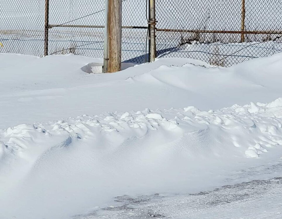
I did notice that the sun helped melt some of the snow on pavement from the drifting last night despite temperatures in the teens. As soon as the shadows shifted whatever melted instantly refroze. Still looks and feels like deep Winter here however the sun angle is making its presence felt.
-
Cure my SE trend hangover event 2/21-2/22
michsnowfreak replied to Baum's topic in Lakes/Ohio Valley
Looks like a nice long duration snowstorm in the UP. I will be in a cabin in the Hiawatha national forest. That will be my 3rd 6"+ snowstorm in 3 weeks! -
Cure my SE trend hangover event 2/21-2/22
michsnowfreak replied to Baum's topic in Lakes/Ohio Valley
I will be in the UP for this one so should get some snow. -
It slept through the squall line because it was right in the middle of the night lol. I estimated 0.4" of snow for my records but there's literally no way to tell how much fell it was just nothing but 45 to 50 mile per hour winds and drifting.
-
That's a good point about Canton covering a lot of real estate. Is Plymouth/Canton is a very large area. I talked to one of the guys who works at the NWS and he lives in Canton closer to the airport and said he had about 7". Speaking of local screwzones, I've lived in Wyandotte since I was 8 and downriver has really not been much of a screwzone since the 90s/early 00s. I remember quite a few storms back then that screwed us but honestly the past 20 years or so we have easily jackpotted easily as many times as we have been screwed. I worked in Farmington Hills from 2015 to 2020 and I was shocked that they did not get more snow than us as I was expecting. Sometimes they could retain a little better during the thaw. Want a sure bet? The hills of northern Oakland always reigns supreme for Southeast Michigan snow.
-
Wow sorry to hear. I know there was a time nw wayne was between banding but 3"? Does that actually sound legit in your yard? Screw zones always vary year to year, so don't get down on your area....this year it's clearly been you, but doesn't mean that will be the case next year. More often than not it is SE Macomb.
-
I'd say 5-7" was the range for most in the metro area. Less north and west. Really an excellent forecast by DTX. The few 4" reports seem out of place and don't make sense based on other reports. You remember how DTX always includes the lowest reports that don't jive but but not the highest reports (several 8" reports via social media) . I notice other nws include all reports. Finished with 6.8" in Wyandotte, 6.6" DTW. From a storm perspective no complaints here. Both big storms this month hit the metro area hardest (in SE MI). This storm was heart of metro area, last storm was DTW-south. Kohls looks tiny with those piles lol.