biodhokie
-
Posts
466 -
Joined
-
Last visited
Content Type
Profiles
Blogs
Forums
American Weather
Media Demo
Store
Gallery
Everything posted by biodhokie
-
It's not that I don't trust my own abilities, I don't trust anyone else on driving in snow. I was out earlier and with snow covered road had a person tailgating me with 2 completely open lanes.
-
University Blvd was covered by 0900 this morning so that does not surprise me. Georgia being a massive first responder artery doesn't surprise me that it's wet. Georgia+Colesville both streets are wet but snow on the edges.
-
Jan Medium/Long Range Disco 2: Total Obliteration is Coming
biodhokie replied to Jebman's topic in Mid Atlantic
I don't see how Erie county placing a travel ban effective at 2100 tonight is the NFL's fault. If the NFL was such a joke they'd postpone the KC-Miami game. -
We should call it some sort of Rainstorm thread just for maximum trolling. I can only imagine the amount of whinging...and if it actually did rain...oof.
-
that's a speed you don't see everyday.
-
Rock Creek at East-West/Beach is over its banks and into the surrounding flood plain. East-West itself is draining enough water that you're spraying water as if it's standing puddle.
-
Not bs. I'm literally looking out my work window in Bethesda about 50 ft up and watching flakes of snow waft around with rain. Its weird.
-
Power lines starting to fall w/ down lines in Rockville on Bel Pre Rd.
-
Being an early millennial I do remember being sent home early like an hour early during HS (05-06) because of incoming severe weather in Spotsy so while a lot of folks are griping about the early dismissals, its not like its unprecedented. The running theme seems to be making sure the kids are given a window to arrive home safe.
-
Wouldn't be surprised if they didn't spray one snowfall a time ago and some person sued the DOT over an accident they had blaming they didn't treat roads to get out of paying for damages themselves and won. So now its spray all the time just to CYA.
-
The only thing that sucks about this storm is that it's over the weekend. If it was Friday or Monday, we'd have another 3 day weekend from OPM.
-
I now can't unsee this. I've been facedeep in R creating visualizations and heatmaps on genetic datasets for the past month and the first thing I noticed was "oh hey, probably done in ggplot w/ the viridis package", not the actual data. Not surprised, we do warm/humid well here.
-
BWI: 24.6” DCA: 18.7” IAD: 27.3” RIC: 15.2” Tiebreaker SBY: 15”
-
BWI: 11/4 IAD: 11/2 DCA: 11/15 RIC: 11/15 BWI Departure: +0.7
-
Give me one more!
-
Yes, I've seen tornado warnings and flash flood warnings get pushed to cell phones which imo is a huge leap since the majority of folks have a cell phone nowadays.
-
2023 Mid-Atlantic Severe Wx Thread (General Discussion)
biodhokie replied to Kmlwx's topic in Mid Atlantic
5-7 pm- 2,785 replies
-
- 1
-

-
- severe
- thunderstorms
- (and 3 more)
-
2023 Mid-Atlantic Severe Wx Thread (General Discussion)
biodhokie replied to Kmlwx's topic in Mid Atlantic
Just got an OPM alert of all federal employees to depart no later than 3 PM- 2,785 replies
-
- 1
-
-
- severe
- thunderstorms
- (and 3 more)
-
2023 Mid-Atlantic Severe Wx Thread (General Discussion)
biodhokie replied to Kmlwx's topic in Mid Atlantic
That's moist. -
2023 Mid-Atlantic Severe Wx Thread (General Discussion)
biodhokie replied to Kmlwx's topic in Mid Atlantic
Wasn't the hatched for wind and just a 10% tor? -
2023 Mid-Atlantic Severe Wx Thread (General Discussion)
biodhokie replied to Kmlwx's topic in Mid Atlantic
Dude, I was literally in the one spot maybe 2 mi in diameter in Rockville that got 10 mph winds and 0.1 precip while the rest of the county got smoked. If I was home, I would've been front row center. I hate this timeline.- 2,785 replies
-
- 1
-

-
- severe
- thunderstorms
- (and 3 more)
-
2023 Mid-Atlantic Severe Wx Thread (General Discussion)
biodhokie replied to Kmlwx's topic in Mid Atlantic
Welp, congrats on those who jackpotted. Silver Spring continues to get screwed. -
2023 Mid-Atlantic Severe Wx Thread (General Discussion)
biodhokie replied to Kmlwx's topic in Mid Atlantic
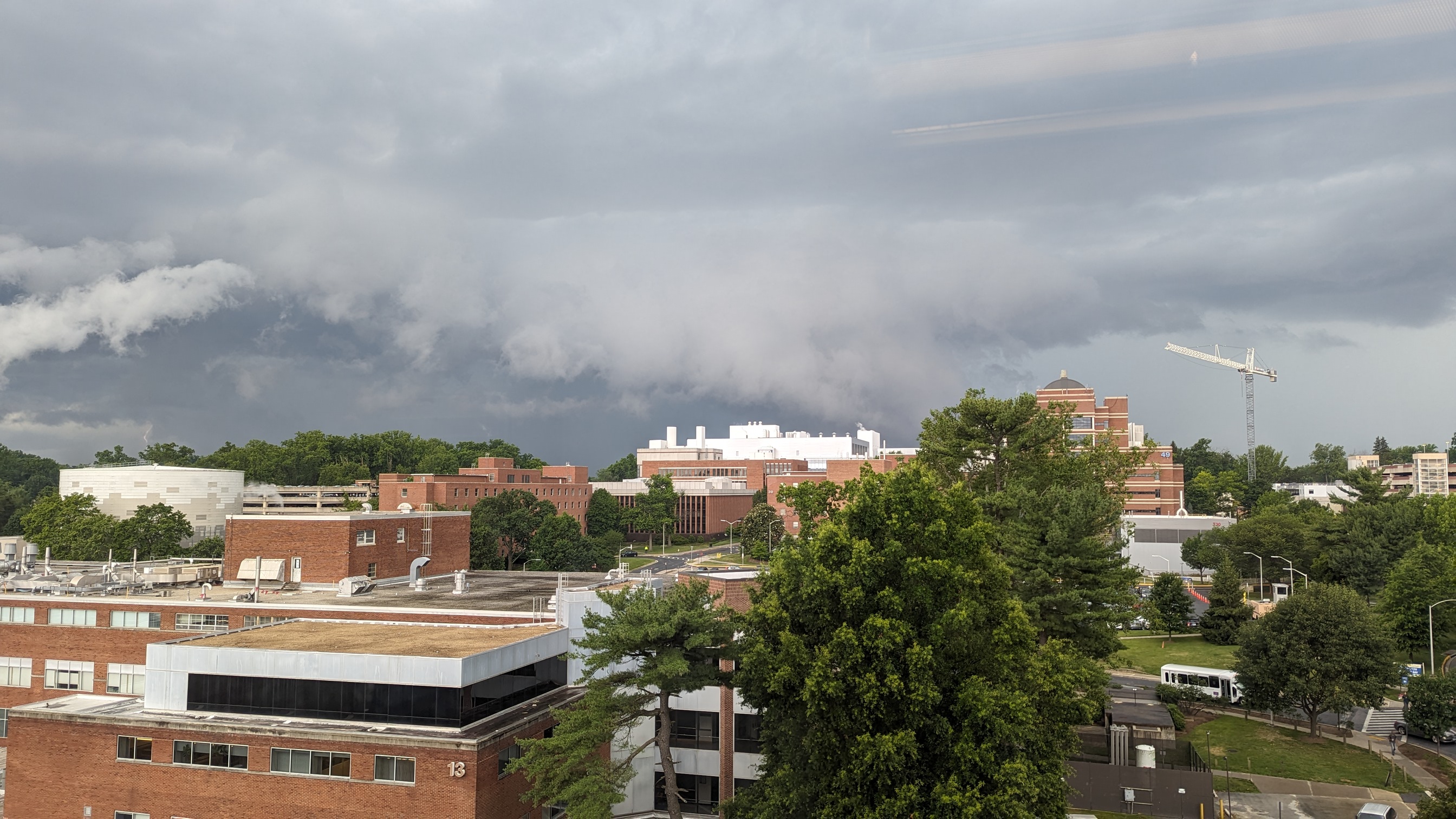
As the shelf was passing over Bethesda it really took shape. Ian should get some mothership pictures. -
2023 Mid-Atlantic Severe Wx Thread (General Discussion)
biodhokie replied to Kmlwx's topic in Mid Atlantic
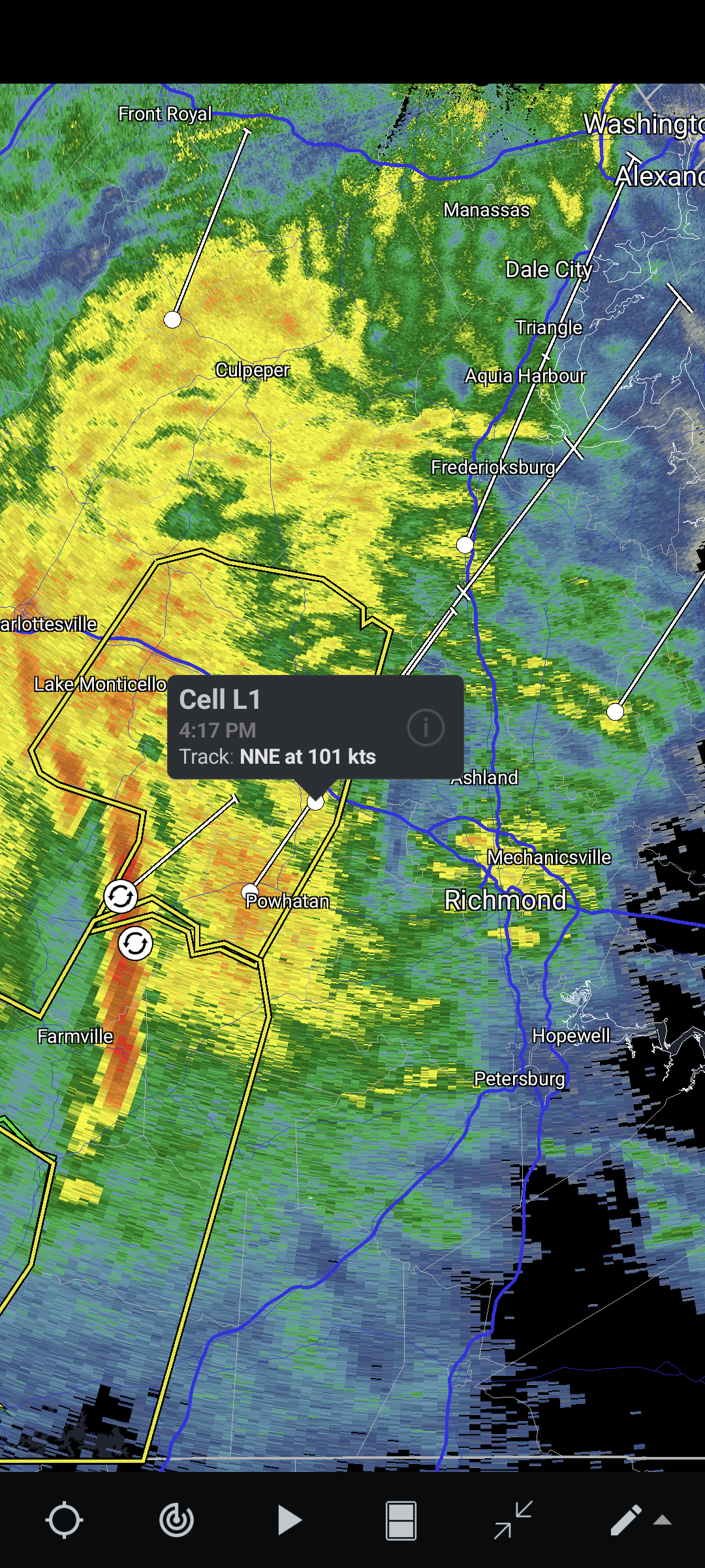
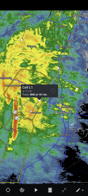
Looking interesting looking into Potomac.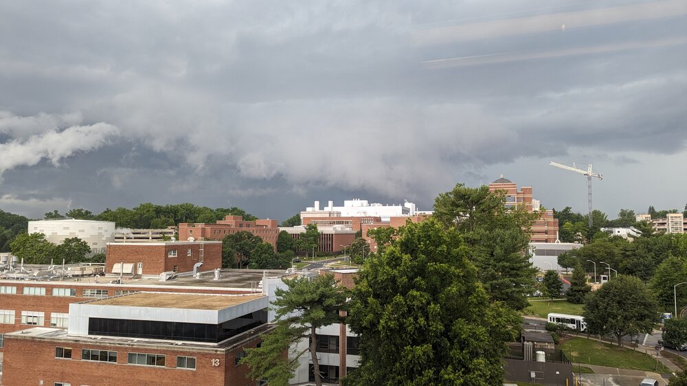
- 2,785 replies
-
- 5
-
-
- severe
- thunderstorms
- (and 3 more)